


Front Plate Required: Yes
Area Codes: 319, 515, 563, 641, 712
License Plates:
Windshield Stickers:
Road and Highway Signs:
County Roads:
Highways:
Highway Adoption:
Historical:
None

Iowa is a typical midwestern state, made up of small towns and single lane highways through endless farmlands. Corn and soybeans are the state's major crops. You may rarely find oat fields, but you will never see wheat fields in Iowa. These farms will typically have grain bins and elevators instead of the silos that contain animal fodder.
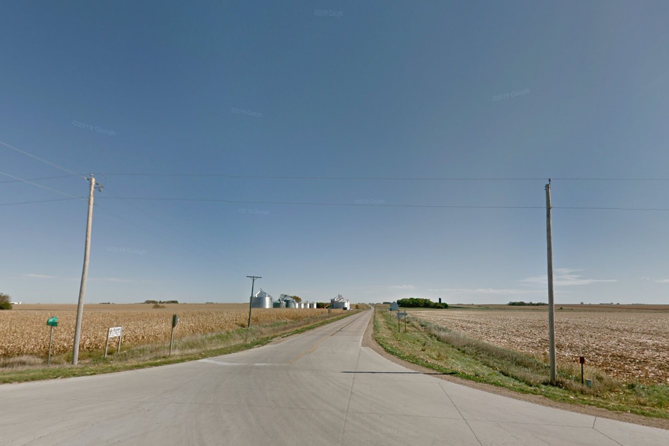
Harvested and unharvested corn
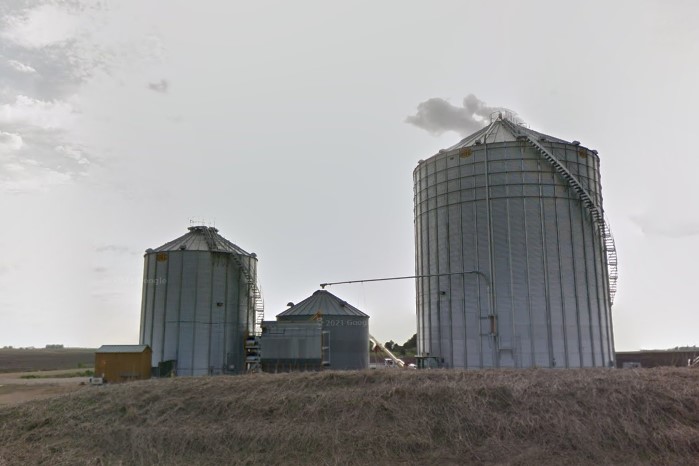
Grain bin
The central part of the state north of Des Moines is completely flat across the horizon, similar to most of Illinois. The rest of the state is composed of slight to moderate rolling hills. While coverage is mostly on artery roads, there is a very condensed grid of gravel and dirt road coverage in the southwest corner between I-80 and US-59.
Flat horizon, north central region
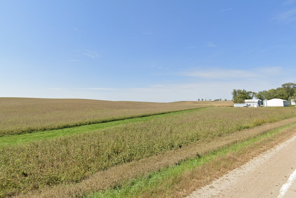
Slight rolling hills, typical
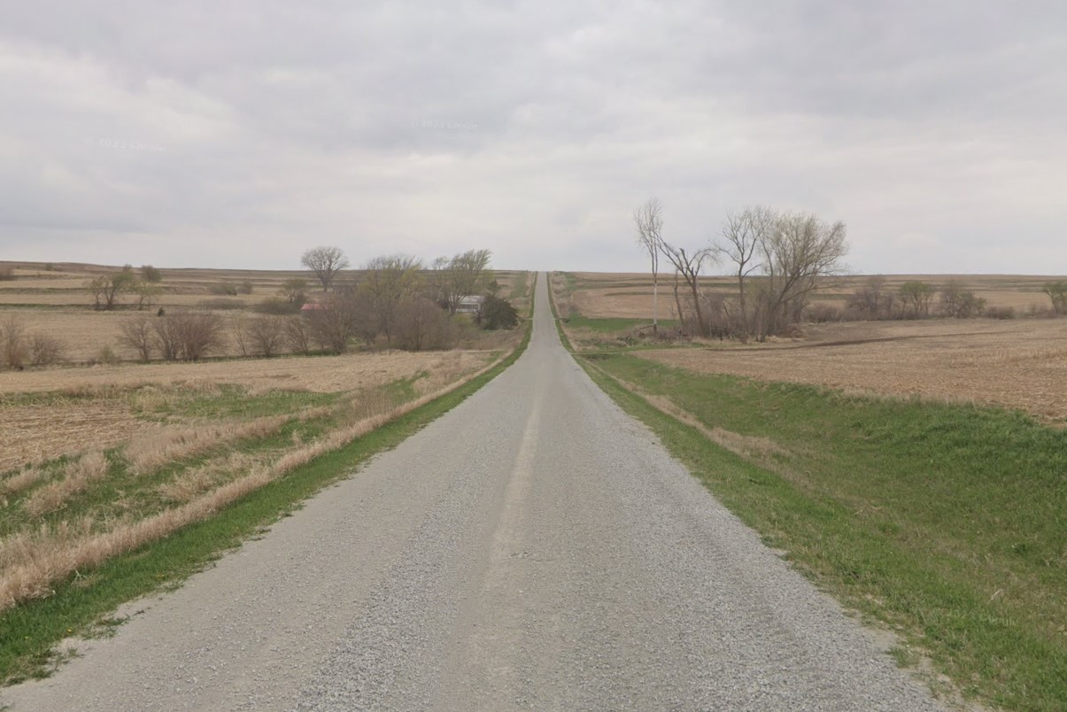
Gravel road coverage
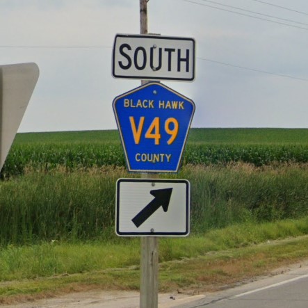
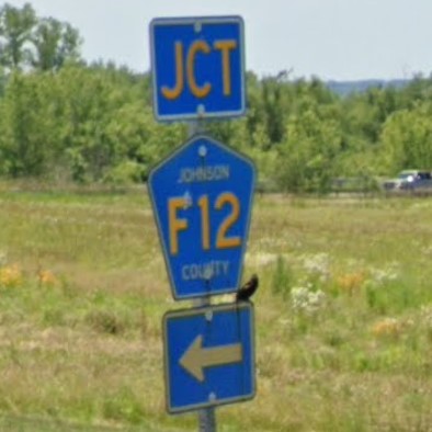
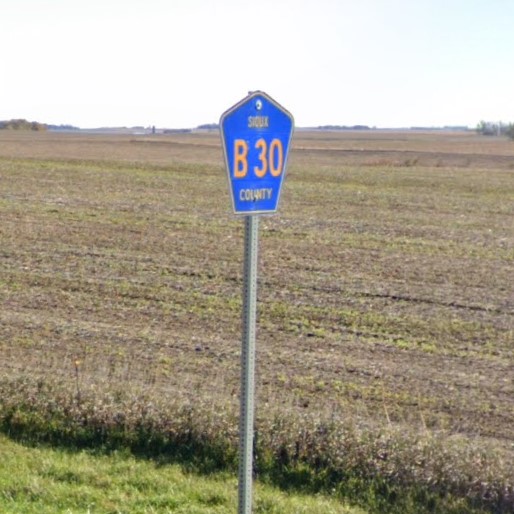
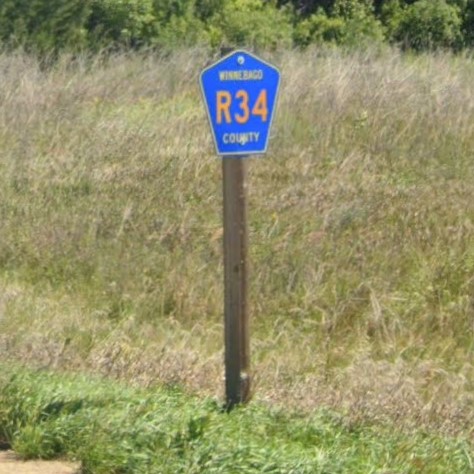
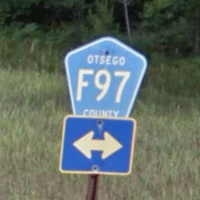
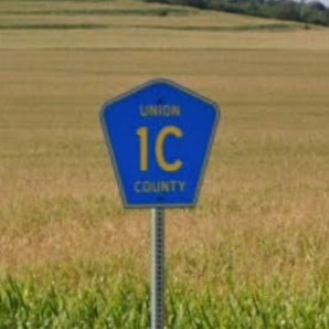
Across the farmlands, Iowa roads are numbered, but don't include the cardinal directions typical in the Dakotas. In the northeast, some of the north-south facing avenues are lettered. County roads are marked with blue pentagons and typically have a letter-number combination. A county road's letter designation can be used to identify its general region within the state, and the number can be used to pinpoint a location since the roads are named in numerical order north/south and east/west.
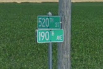
Numbered roads without cardinal directions
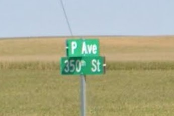
Lettered avenues in the northeast
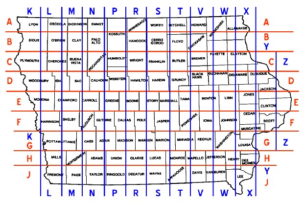
County road grid pattern
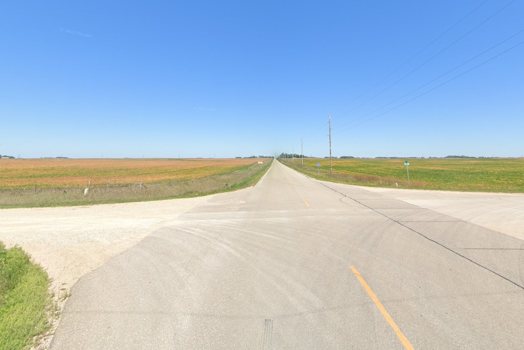
Intersections between state roads and/or US highways have a divider between the lane turning right and the land going straight. Typically this is a triangle island with a white curb or a painted white triangle with a black barrel on the post, though some of the barrels have been removed in later coverage.
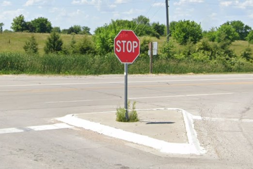
Triangle divider with a white curb
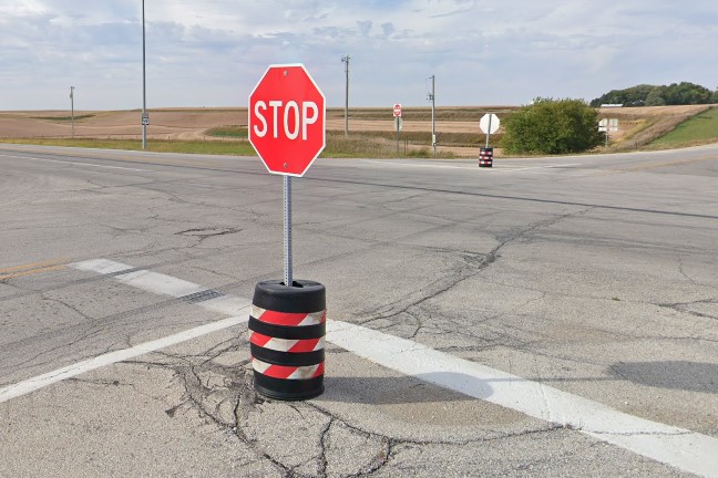
Black barrel divider with red/white stripes
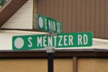
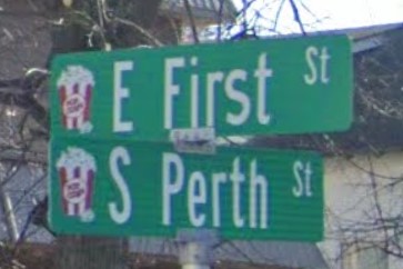
Marion- in the northwest part of Cedar Rapids- has a unique, diagonal street sign layout.
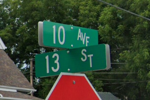
Diagonal layout, Marion
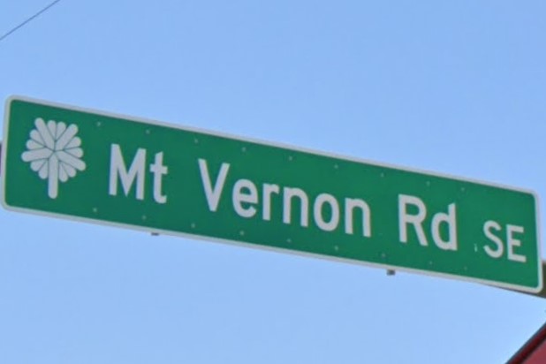
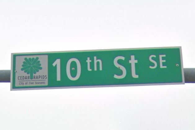
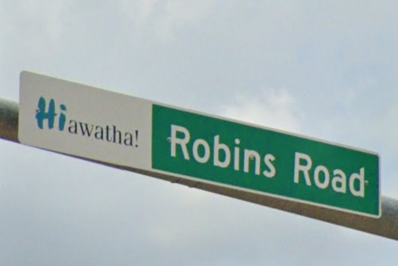
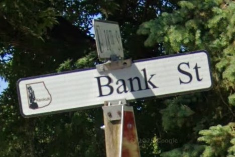
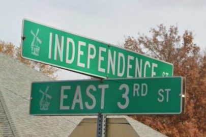
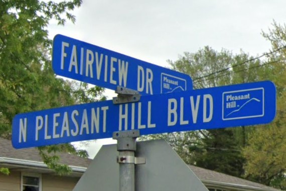
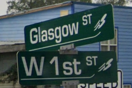
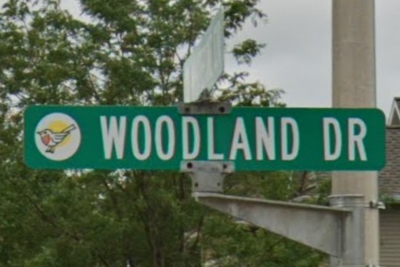
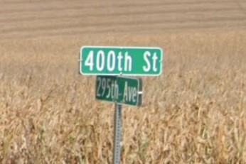
Nebraska also has numbered streets without cardinal directions across its farmlands. Suffixes in Iowa are uppercase and "avenue" is spelled "AV" everywhere except the northeast part of the state. In Iowa, the "TH" after a number is half the size of the number and is aligned toward the top of the sign. In Nebraska, the "TH" after the number is the same font size as the number or omitted entirely. If one or more of the cross streets uses the suffix "Rd" instead of "street" or "avenue", this is a Nebraska county road.
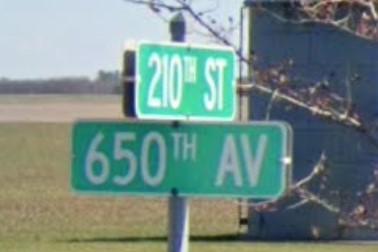
Iowa with "AV"
Northeast Iowa with "AVE"
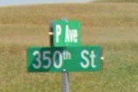
Northeast Iowa with lowercase "th"
Nebraska lowercase suffix and large "th"
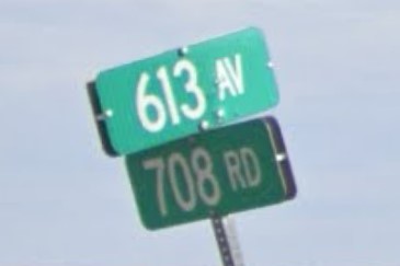
Nebraska with "Rd" and no "TH"
South Dakota and Michigan both use number-letter combinations for some county roads, though the order is reversed in South Dakota.
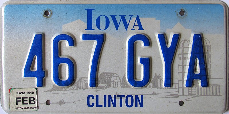
Iowa's blue license plate looks similar to Illinois' blue plate and South Dakota's standard plate.
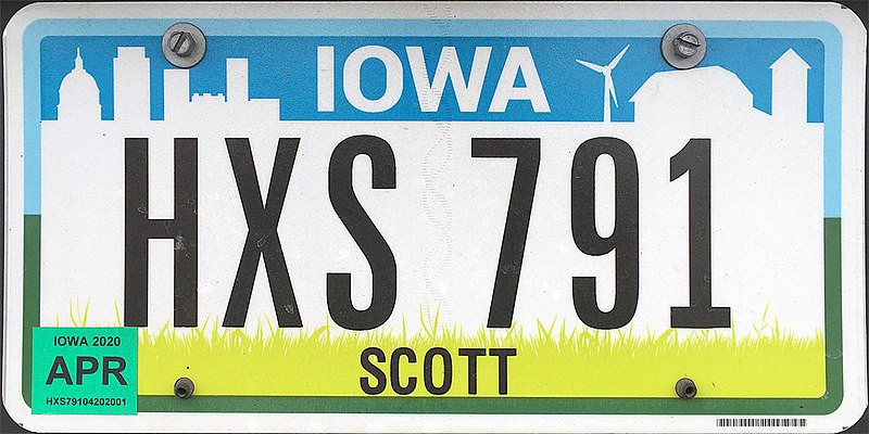
Iowa's blue and yellow plate has a similar color pattern to Pennsylvania's standard plate.
Iowa
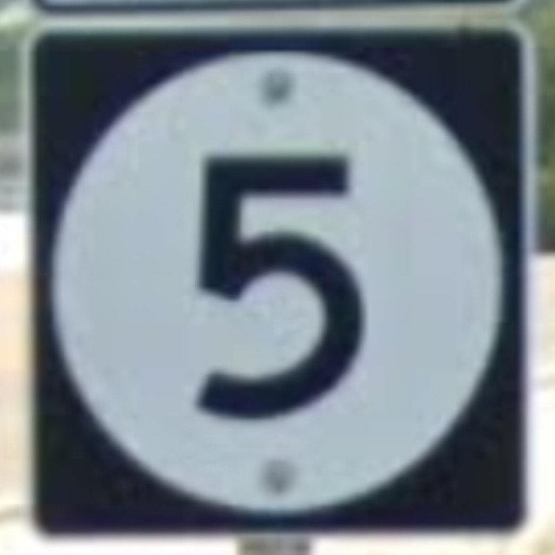
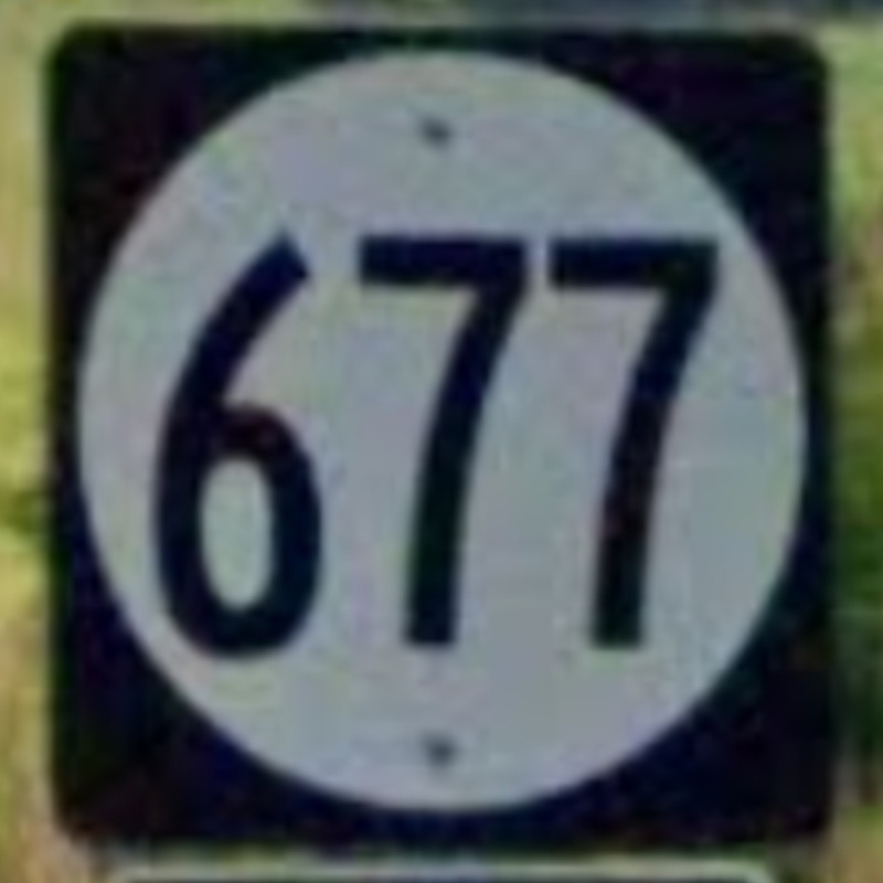
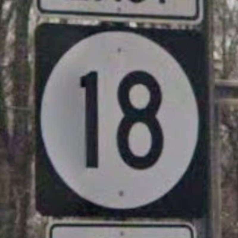
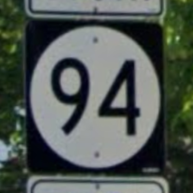
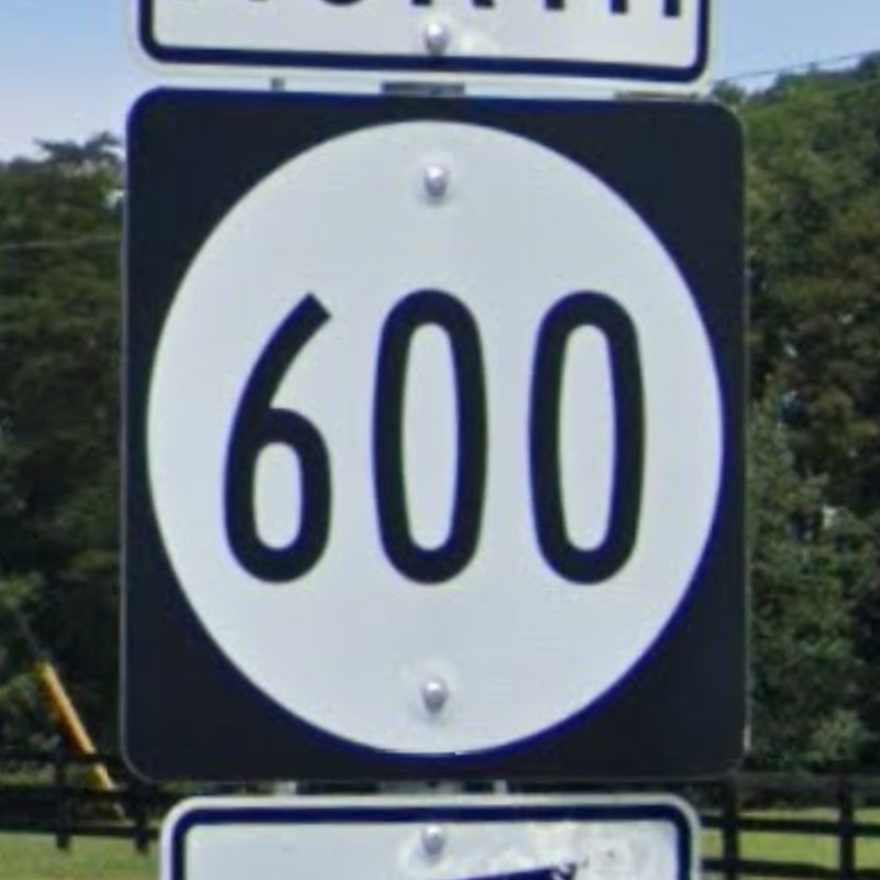
Iowa is one of several states that uses a circle to mark state highways.

The Iowa Cheat Sheet by ChessWhiz.
A Guide to Corn in the USA (outdated) by schitaco.
Thanks to ChessWiz for fact-checking the Iowa guide and helping me improve this page.