


Front Plate Required: No
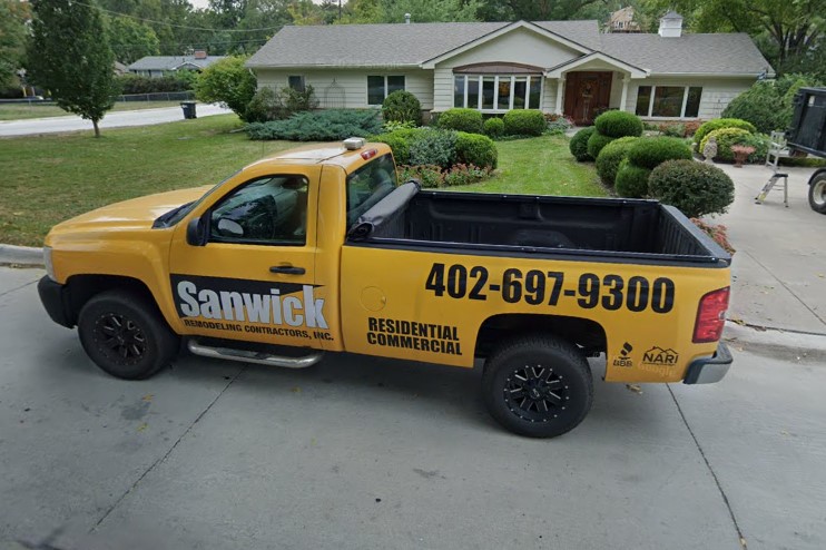
Area Codes: 308, 402
License Plates:
Windshield Stickers:
Road and Highway Signs:
County Roads:
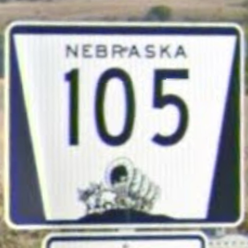
Highways:
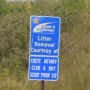
Highway Adoption:
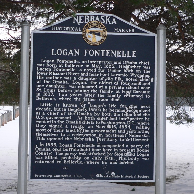
Historical:


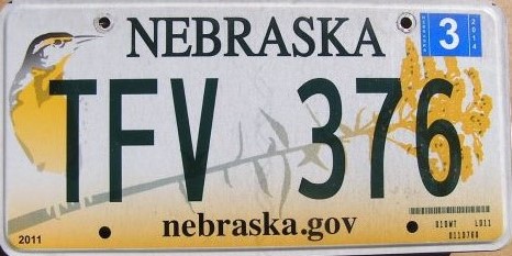
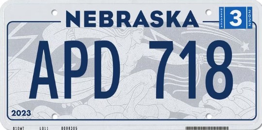
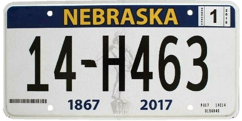
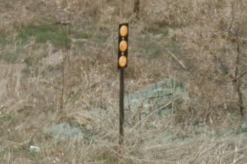
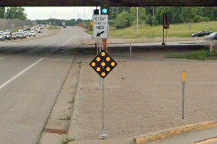
Nebraska has two primary area codes: 402 in roughly the populated east end and 308 in the unpopulated west. They updated their primary license plate in 2023, so older coverage may have the 2017 or even 2011 standard plate. The yellow diamond sign that says "Prepare to Stop When Flashing" with a pair of lights on top is unique to Nebraska.

2011 license plate
2017 license plate
2023 license plate
402 in Omaha
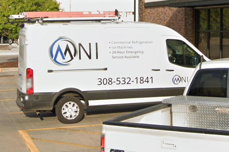
308 in North Platte

Prepare to Stop When Flashing
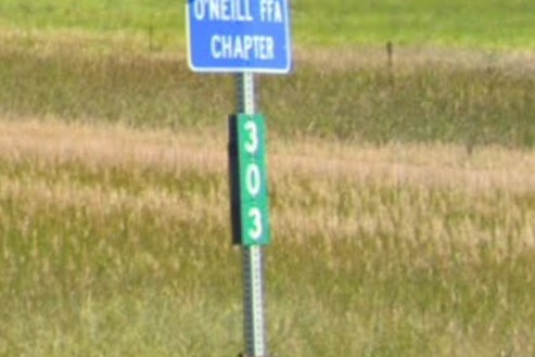
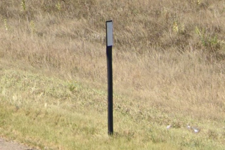
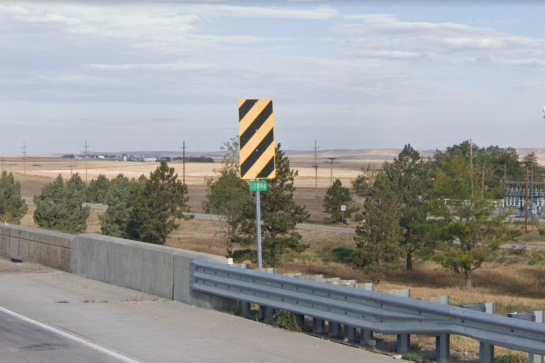
Highways are marked with either flat yellow bollards or white circle bollards. Important signs have a single white reflector on either or both sides of the post. Warning diamonds are either plain yellow or black with yellow reflectors and state highways post green distance markers every mile.
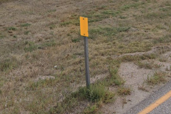
Flat yellow bollard
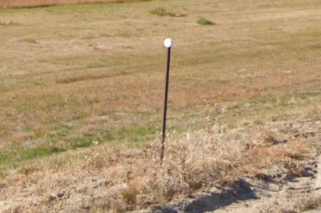
White circle bollard
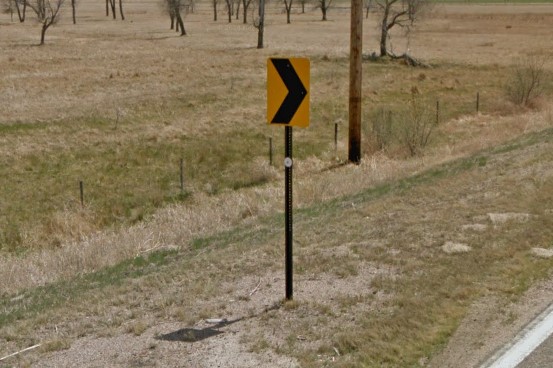
White reflector on signpost
Yellow diamonds
Green distance marker
Black diamond with yellow reflectors
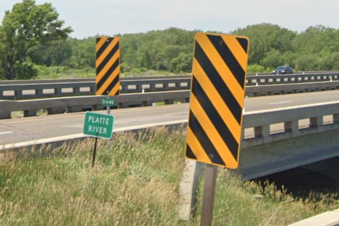
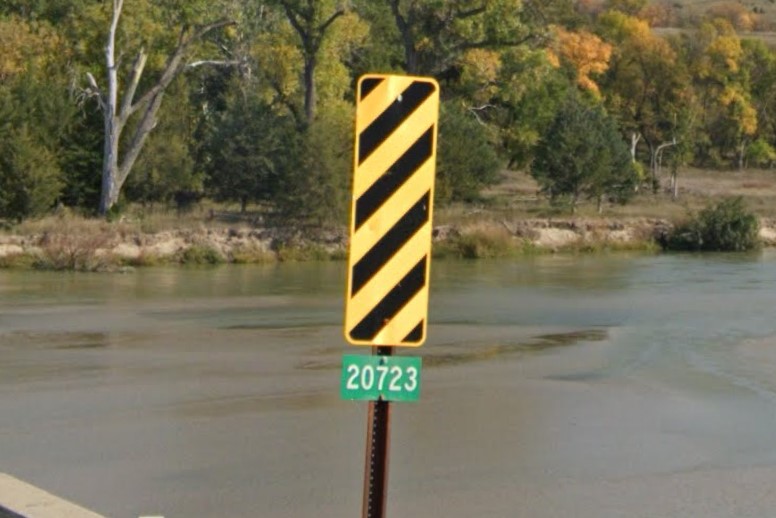
On interstate highways, black and yellow warning stripe signs are wider than standard. On state and US highways, it has a thin yellow border. Bridge crossings are marked with a number on a green plate, usually attached to the post of a warning stripe sign, and drainage is marked by a flat plate with three reflectors, either yellow or blue.
Wide warning stripes sign
Bridge marker & yellow border on stripes
Drainage marker
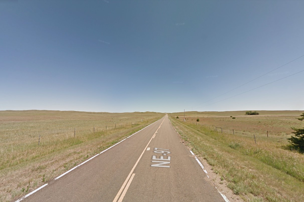
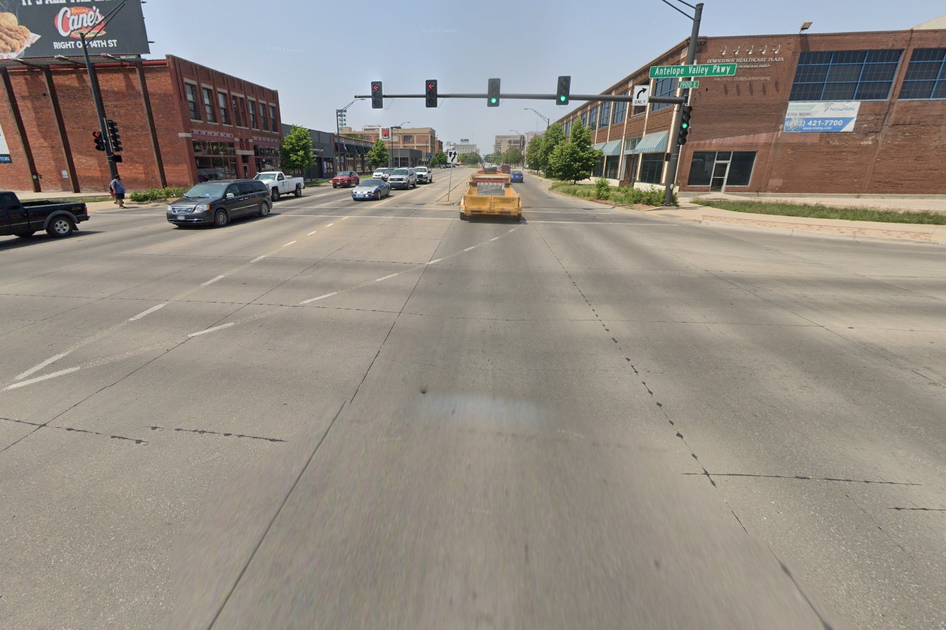
Nebraska's geography looks similar to the other midwestern plains states, especially Kansas. Most of the population lives in the east, where you can find both Lincoln and Omaha. Both cities are grid-based and make heavy use of concrete instead of asphalt for major thoroughfares.
Rolling grasslands
Population density map
Concrete for major roads
The east end has more trees and is scattered with small towns, many based around railways. The middle to west end are the stereotypical rolling grasslands and occasional farm. County roads and smaller designation roads are often made of gravel or dirt.
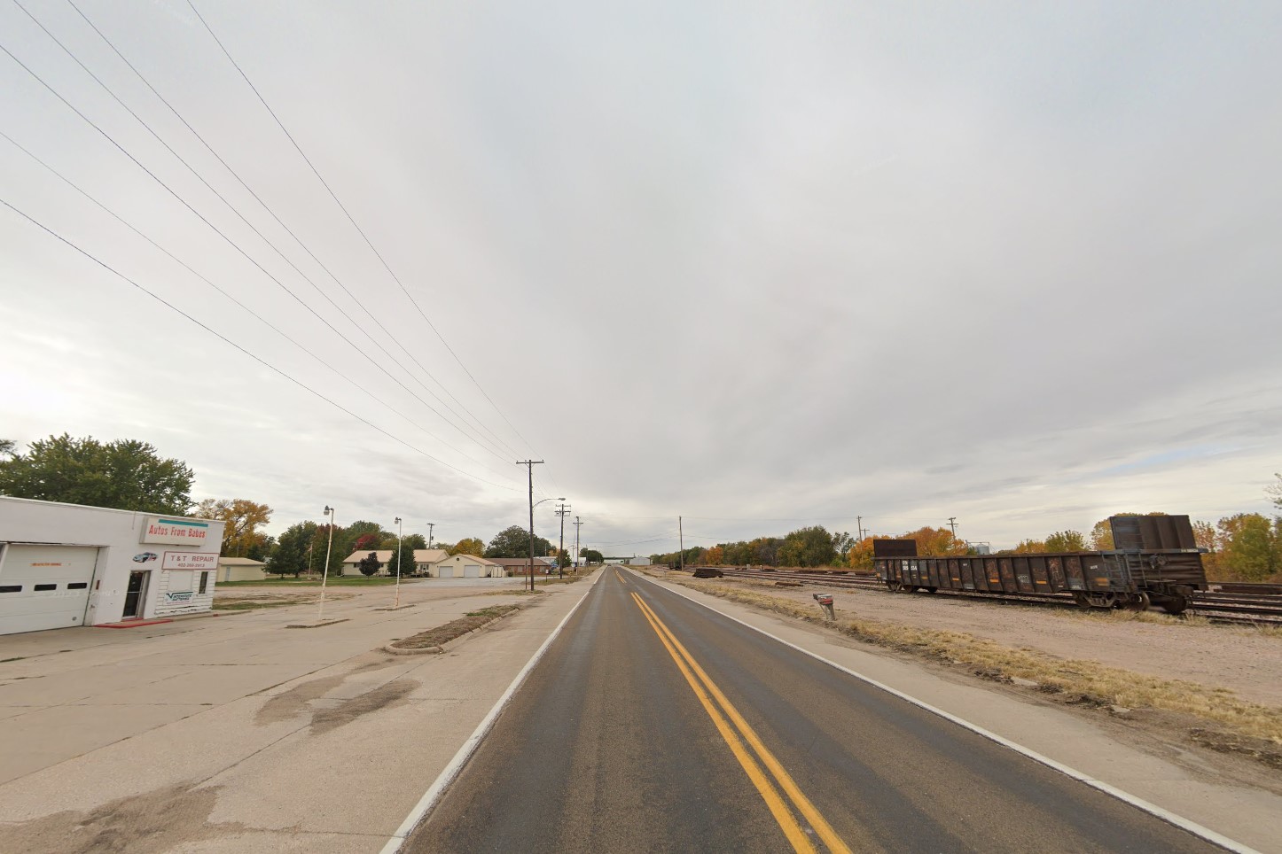
Small railway town
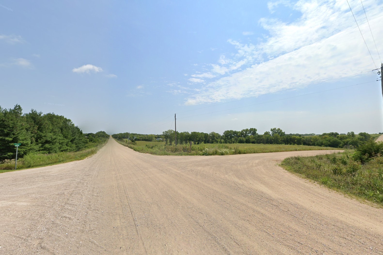
Unpaved county roads
Nebraska's interstate highway system is made of concrete near the major cities, but is made from asphalt across the plains. They use a unique mile marker that inverts the green & white colors for the fractional distance. Bollards are white, but can be either plastic or metal. Unlike Mississippi, the bridge marker doesn't always appear on the columns below an interstate overpass, but will always be listed on the bridge above.
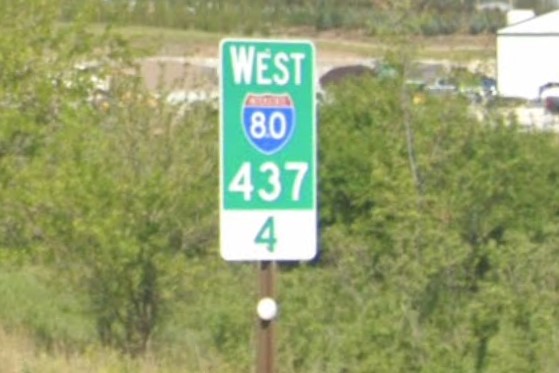
Nebraska mile marker
Rebar bollards
Black plastic bollards
Interstate overpass bridge marker
Minnesota also uses black diamonds with yellow reflectors.
Black diamond with yellow reflectors
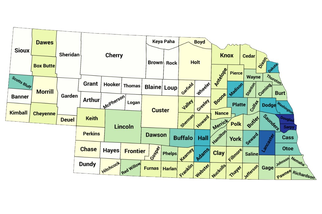
Nebraska County Road Grid Types by Drazi.
A Guide to Corn in the USA by schitaco.