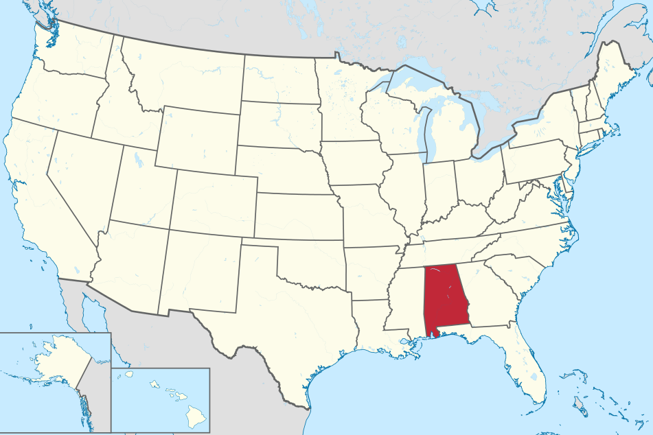
The majority of Alabama is covered with loblolly pine and oak forests.
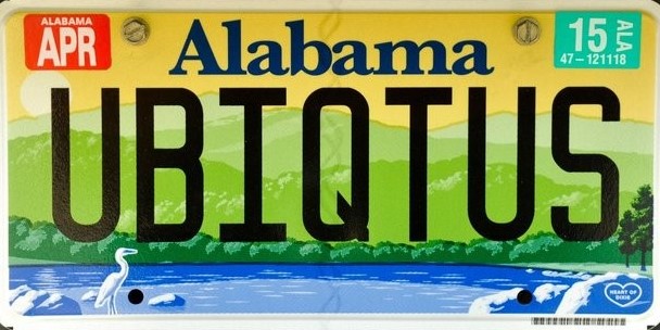
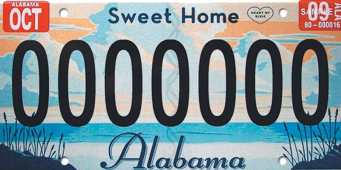
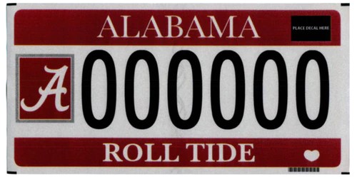
The yellow/green/blue license plates were retired in 2022, but they're still present in older coverage and one of the most easily identifiable license plates.
On state highways and county roads, you'll find black and yellow stripes under warning signs at T-junctions and turn warning signs.
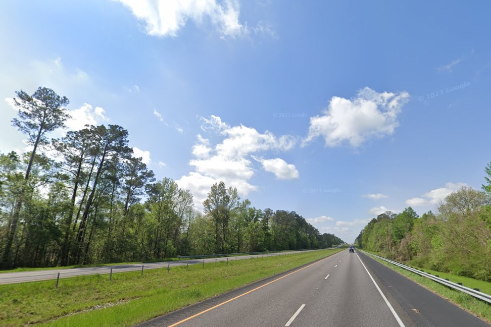
Loblolly pine and oak forest
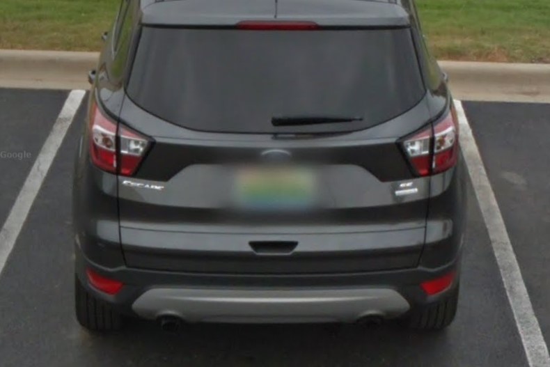
Alabama license plate 2014-2022
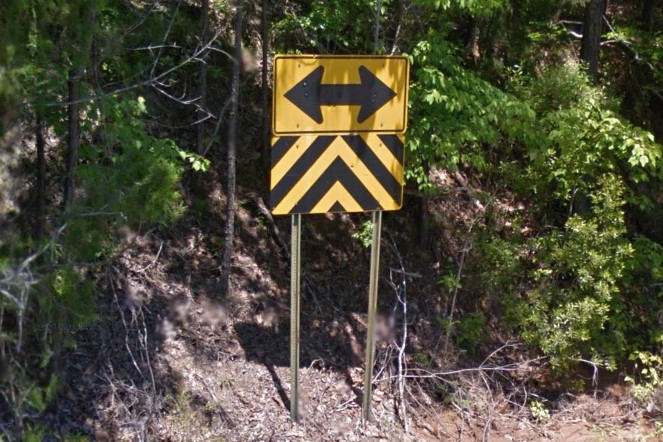
T-Intersection warning
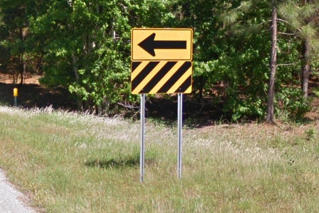
Turn warning
Most state posted signs have either white square stickers or no stickers.
Construction equipment from the state is marked "ALDOT", and equipment by ACME will have "AL" highlighted in orange on the back.
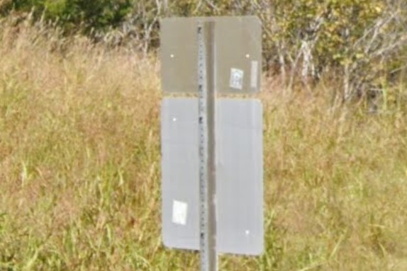
White square stickers
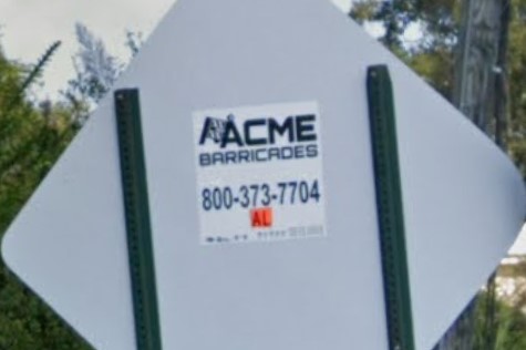
Construction sign
Alabama isn't consistent with bollard usage on interstate highways.
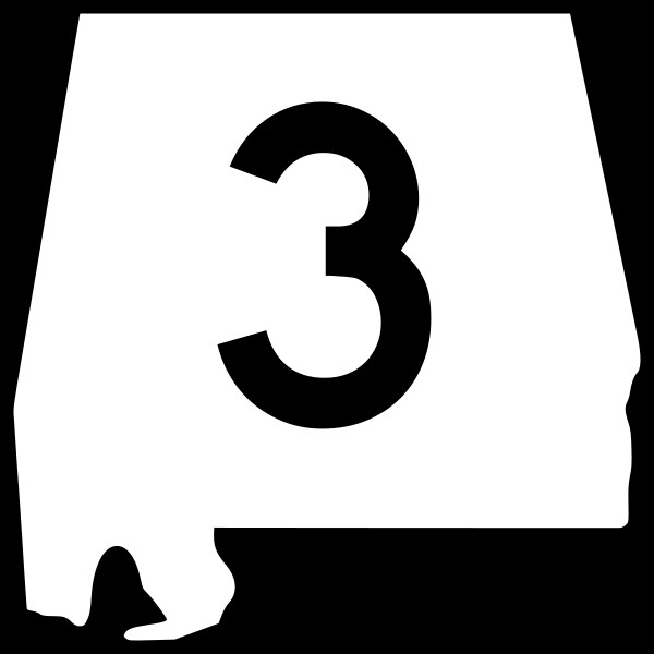
You may run into one of their "Buckle Up" signs with the outline of the state, but you can also distinguish interstate highways in Alabama by the green sign with a mile marker and name of the crossing road on each overpass.
Among the states that have loblolly pines, Alabama is the only state that posts these signs.
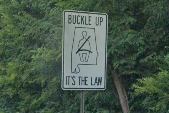
Buckle Up sign
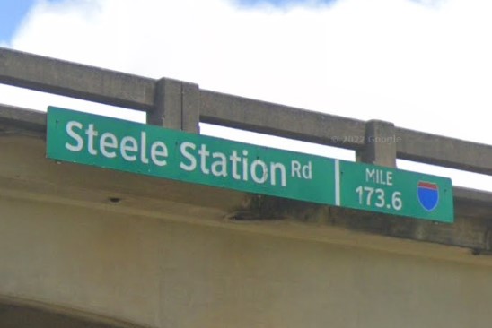
Overpass sign
Interstate offramps use a small pointed arrow, which can distinguish it from Mississippi that doesn't use offramp arrows and Georgia, whose much longer offramp arrows are made up of two separate shapes with flat ends.
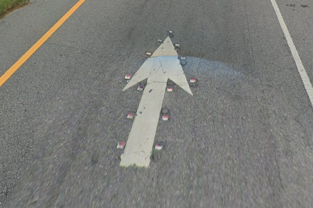
Alabama offramp arrow
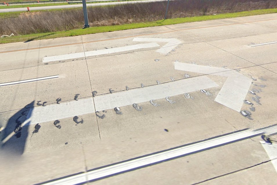
Georgia offramp arrow
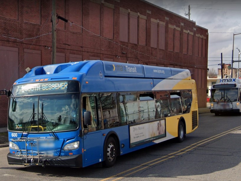
Birmingham | Max Transit
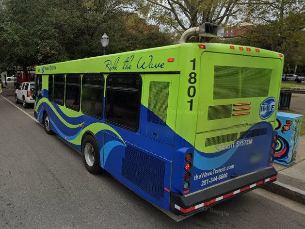
Mobile | The Wave
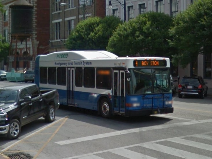
Montgomery | MATS
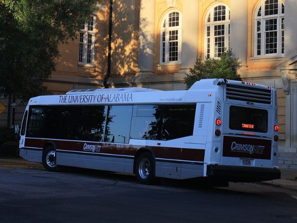
Montgomery | Crimson Ride
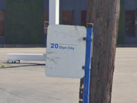
Birmingham | Max Transit
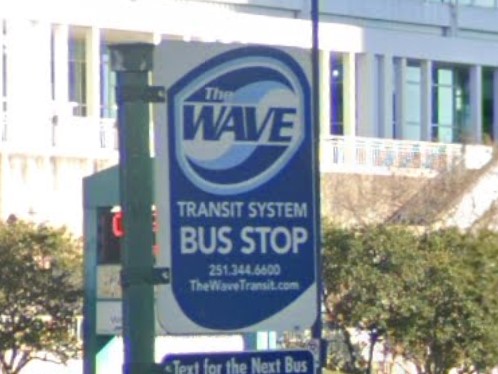
Mobile | The Wave
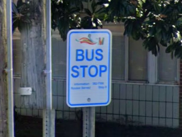
Montgomery | MATS
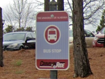
Montgomery | Crimson Ride
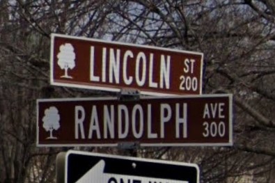
Huntsville
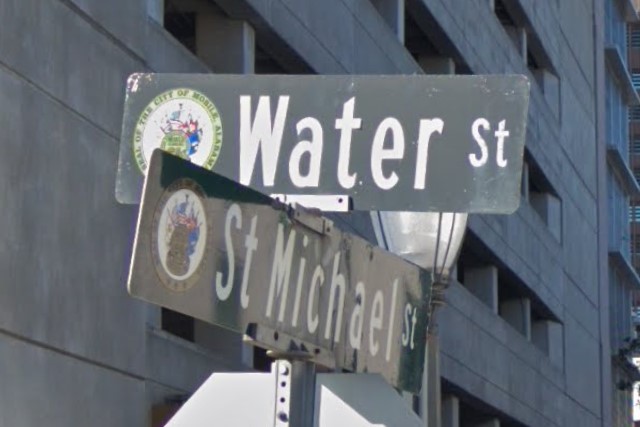
Mobile
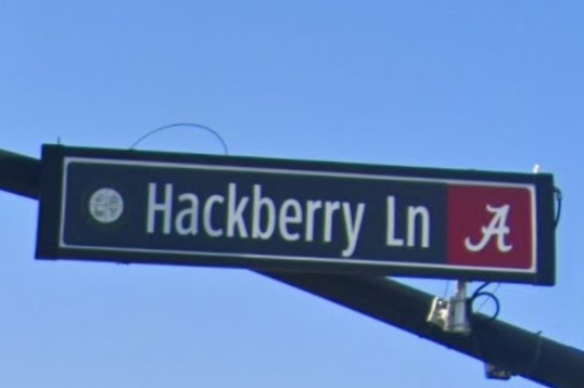
Montgomery
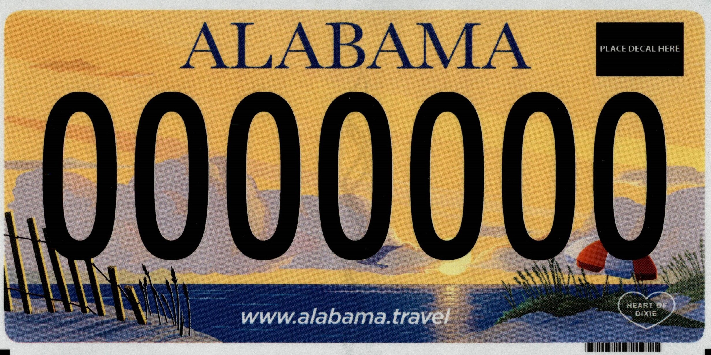
As of 2022, Alabama and Mississippi both have a gold-colored standard license plate
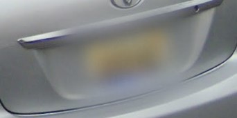
Alabama 2022 license plate
Mississippi 2019 license plate
Thanks to HWY63Guessr for "Buckle Up" sign locations
The majority of Alaska coverage is on state highways running through spruce and birch forests, but coverage also exists in the suburbs around Anchorage, Fairbanks, and a few other select southern cities.
Alaska uses the state-wide area code 907, and although they issue several different styles of license plates, the bright orange plate is the easiest to recognize.
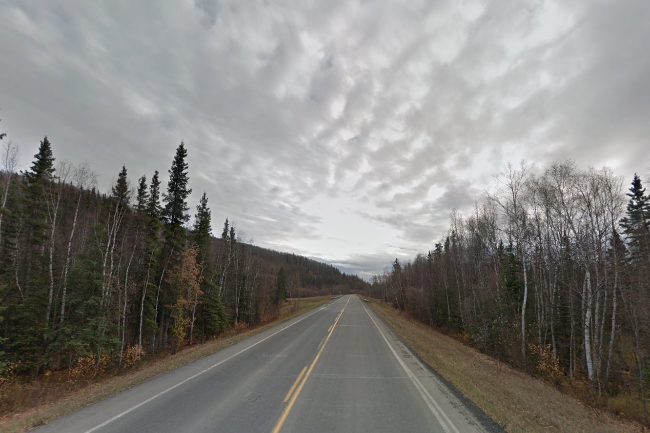
Spruce and birch forest
Statewide Area Code, 907
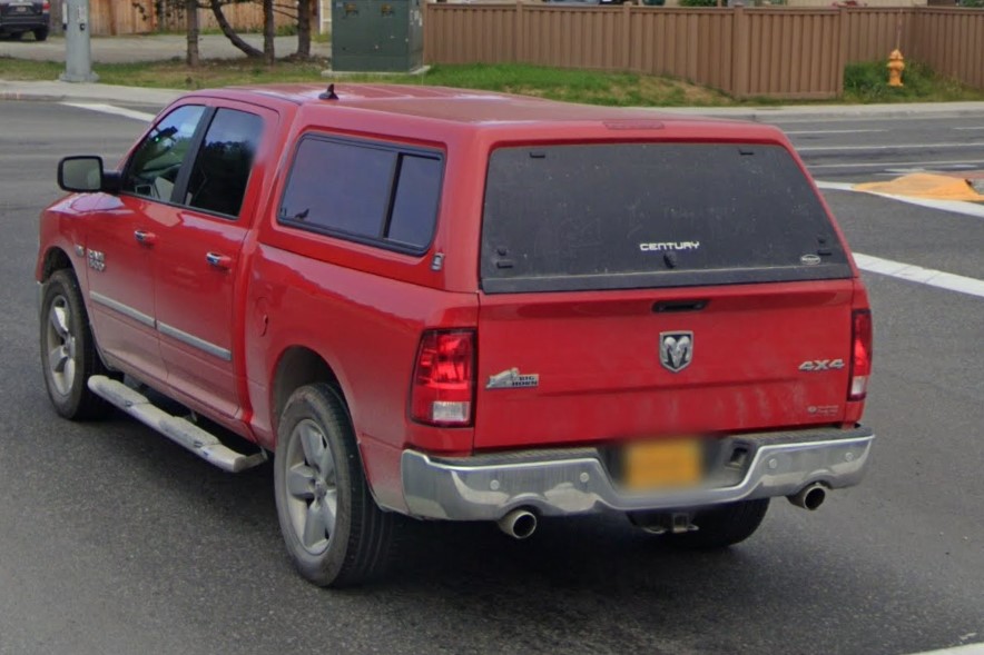
Orange license plate
Some coverage is low quality or fogged over, but in the north, you can often spot another google car either leading or following.
Bollard usage is fairly consistent, but they occasionally use temporary white ones or none at all.
If present, guardrail bollards will be tall and yellow, and drainage is marked with blue bollards.
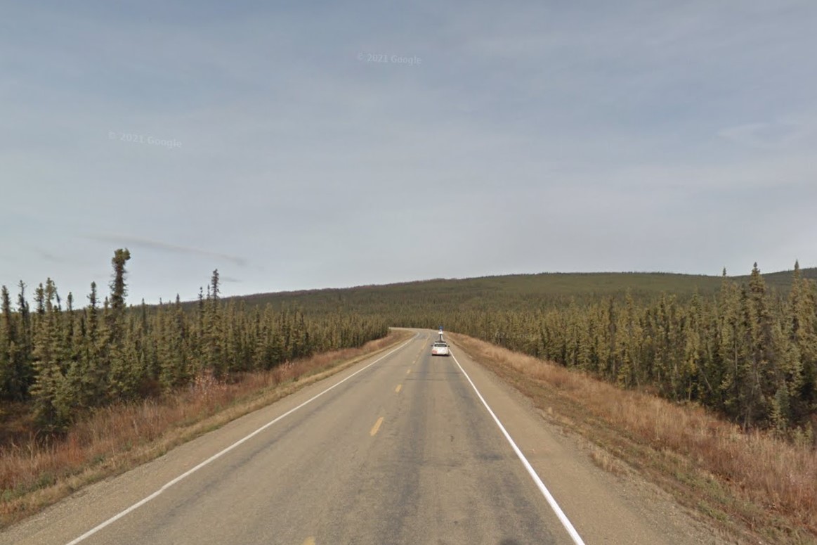
Google follow car
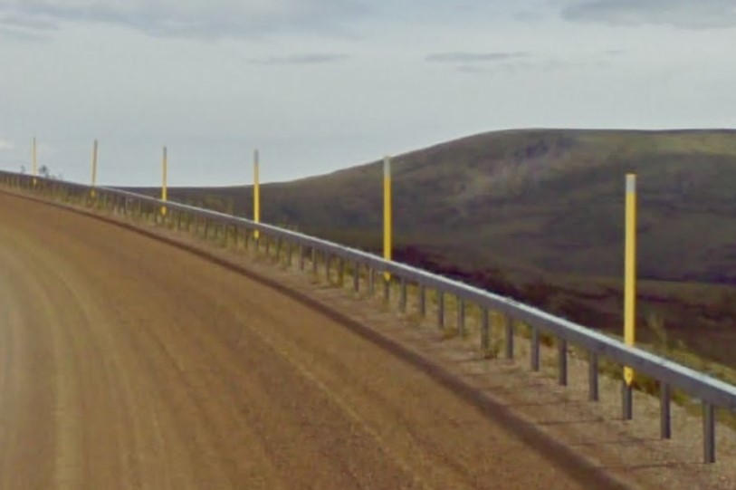
Yellow guardrail bollards
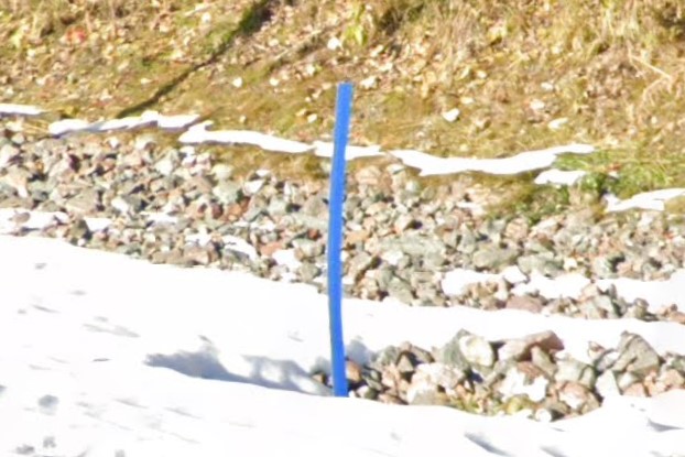
Blue bollard marking drainage
In urban areas, many power poles are marked with bold black and yellow numbers, and signs are marked with large colored numbers on the back.
Important infrastructure is protected by concrete or steel bollards.
Even in the larger cities, the primary vehicles are pickup trucks and SUVs.
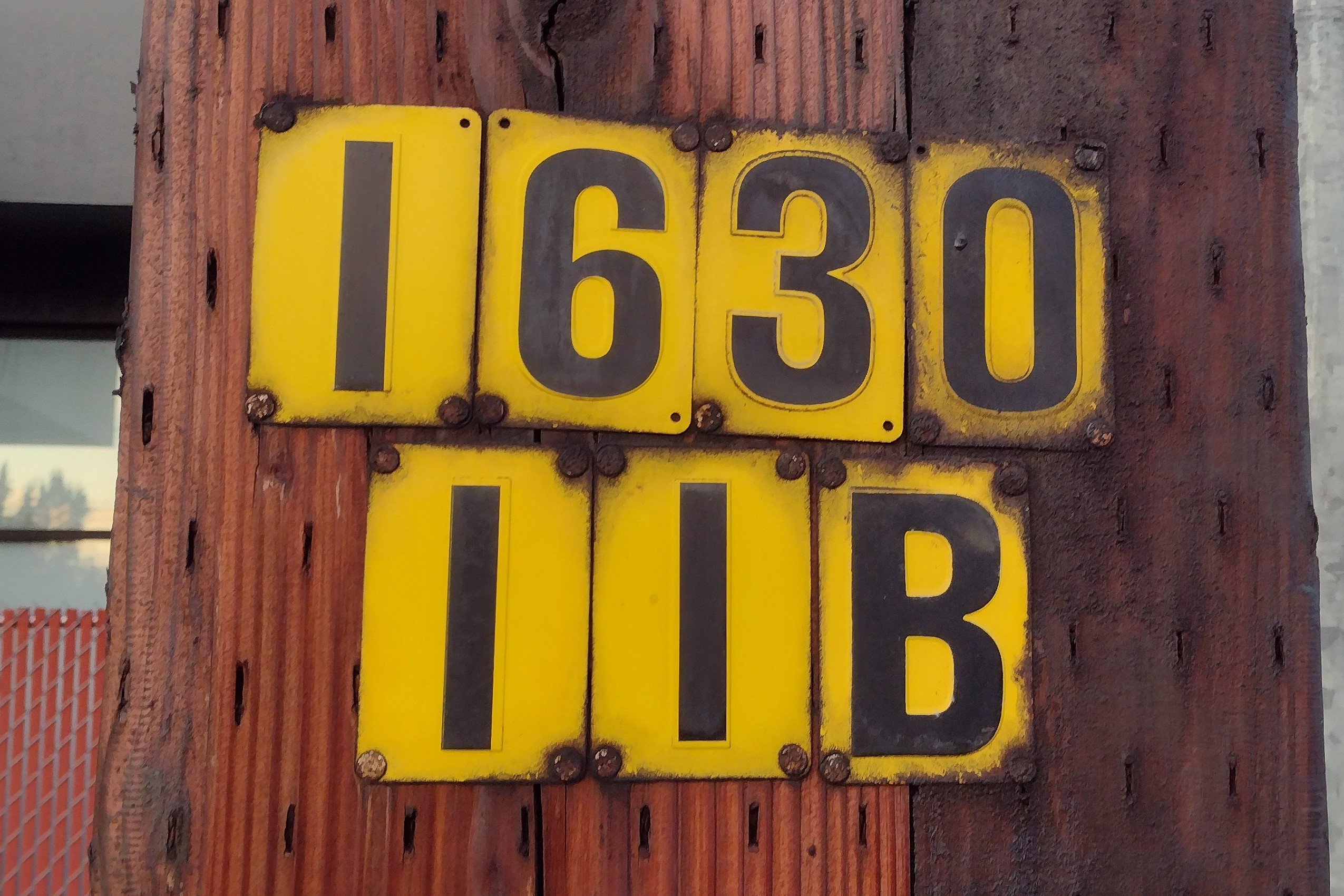
Yellow power pole markings
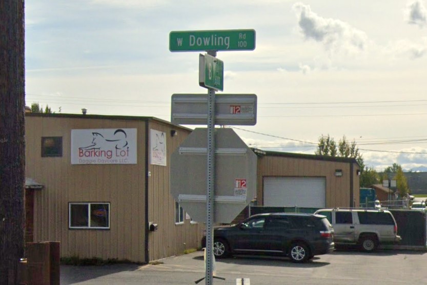
Colored sticker, Anchorage
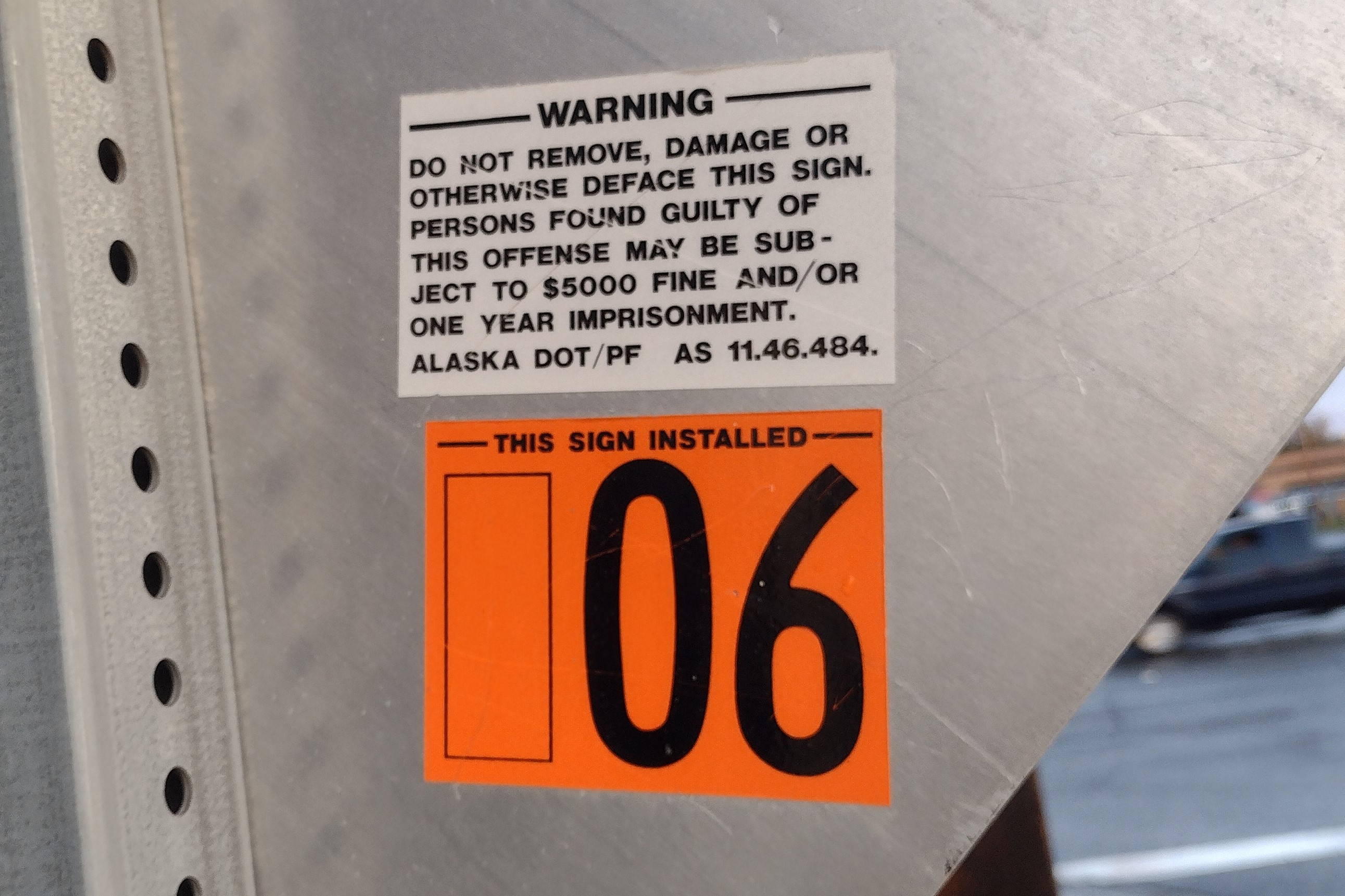
Orange sticker close-up
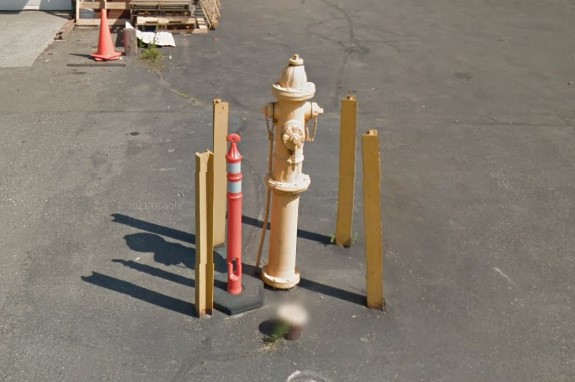
Metal bollards protecting hydrant
Highway 11 runs from Fairbanks to the Deadhorse in the far north.
It is identifiable by the L-shaped green bollards and relatively tall and thin mile markers.
The two-lane asphalt highway becomes a brown dirt road when it crosses from Yukon-Kuyokik into the North Slope.
The Trans-Alaska oil pipeline can also be used to identify Highway 11, but it's not always visible from the road.
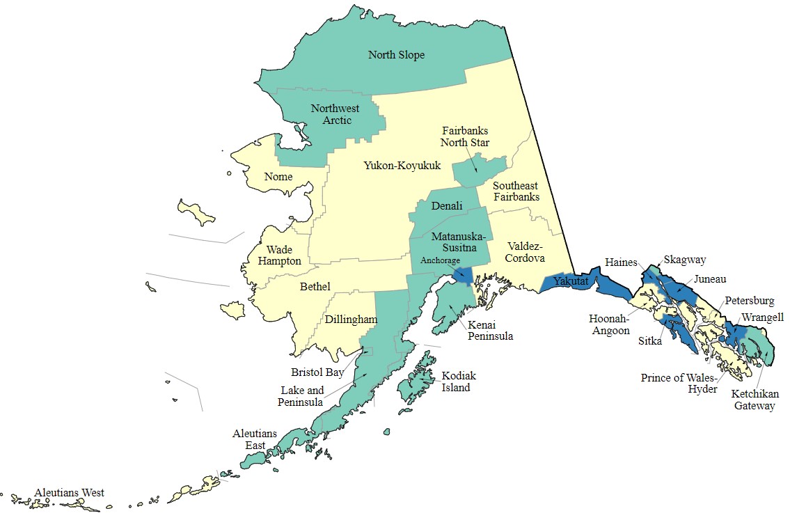
Alaska boroughs
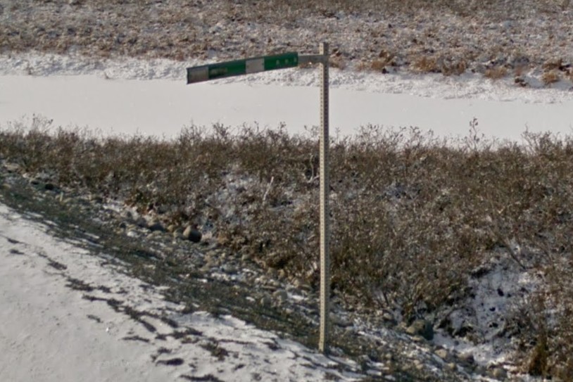
L-shaped green bollard
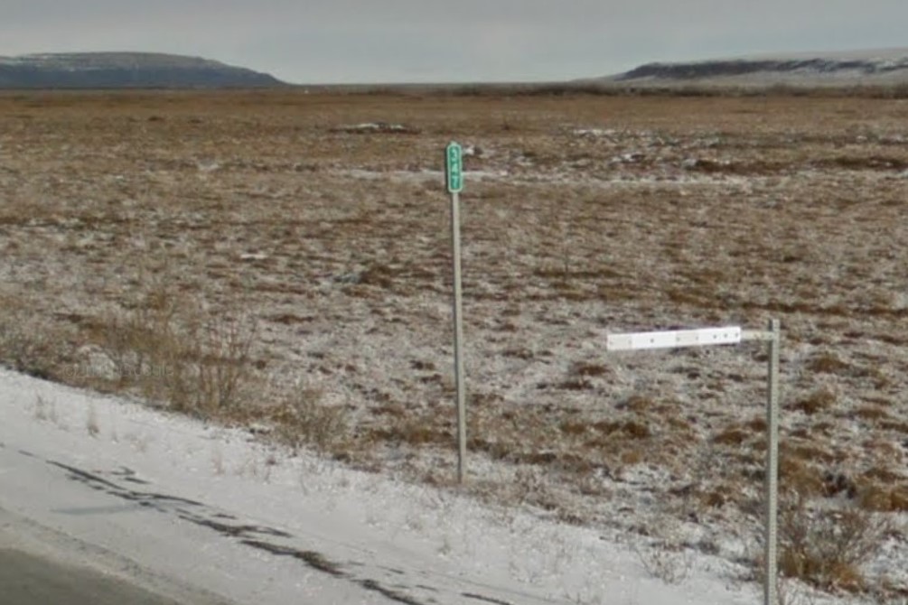
Highway 11 mile marker
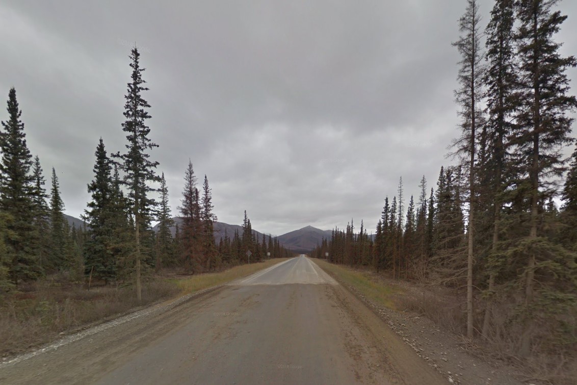
North Slope and Yukon-Koyukuk border
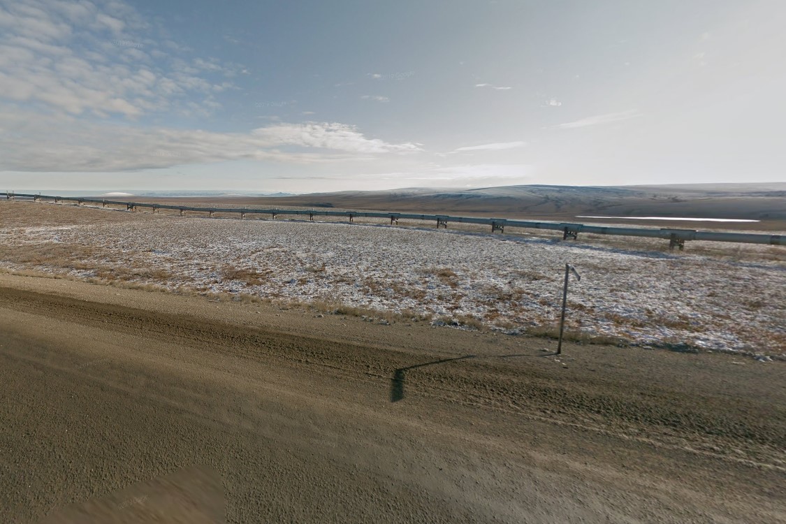
Trans-Alaska pipeline
Highway 6 runs east of Fairbanks halfway to the Canadian border generally oriented NE-SW.
The first half is a single lane asphalt highway with either one or no guardrails.
The second half is a dirt road that is lined with pink
fireweed as of the 2009 coverage.
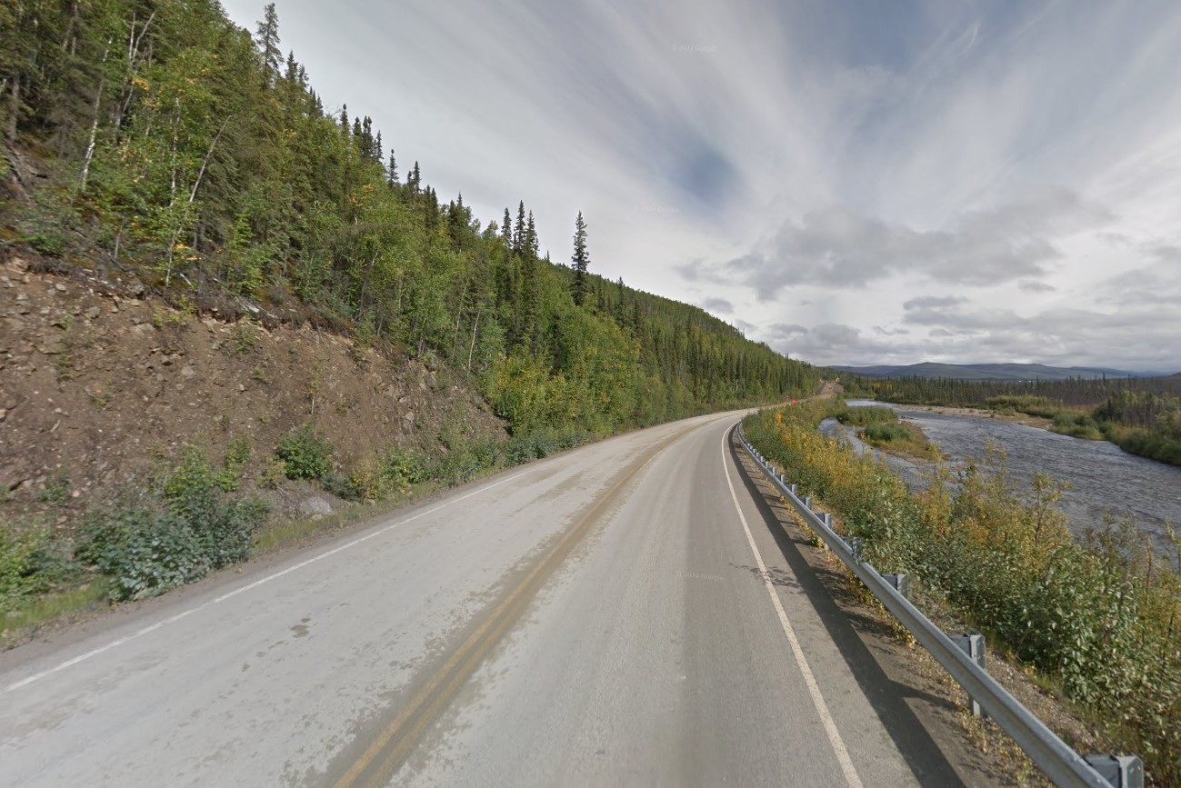
Highway 6
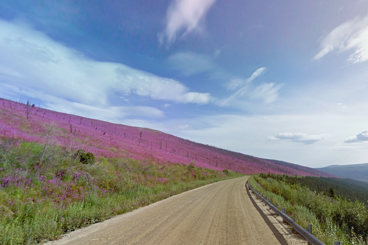
One guardrail and pink flowers
The area between Fairbanks and Anchorage is characterized by craggy, glacial mountains against a yellow and white birch forest.
In more populated areas, street signs are fortified and stop signs have a colored number sticker on the back, depending on the coverage year.
Holiday is the most common filling station, but there are a few competing locally owned stations as well.
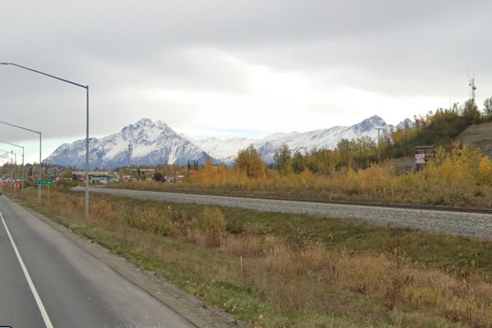
Glacier mountains and yellow birches
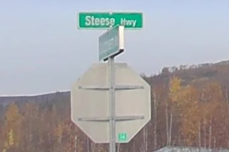
Fortified sign and sticker in Fairbanks
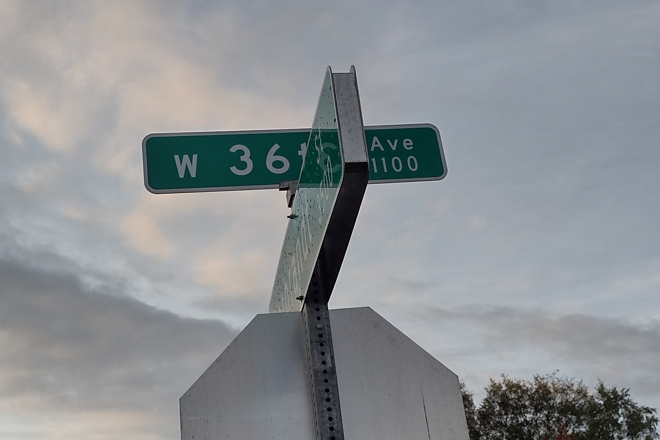
Fortified sign in Anchorage
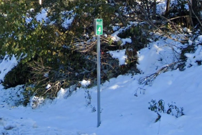
Elevated distance marker
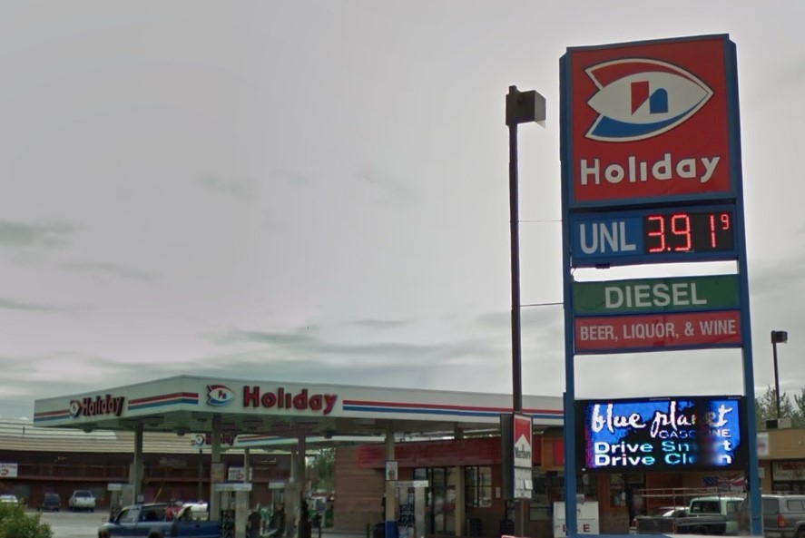
Holiday filling station
Alaska's biggest cities are connected by highways built like interstates, but marked as state highways.
Fairbanks and Anchorage are both large cities in mid-Alaska but they have different geography.
A craggy mountain range rises over east Anchorage, while the eastern horizon in Fairbanks is mostly flat.
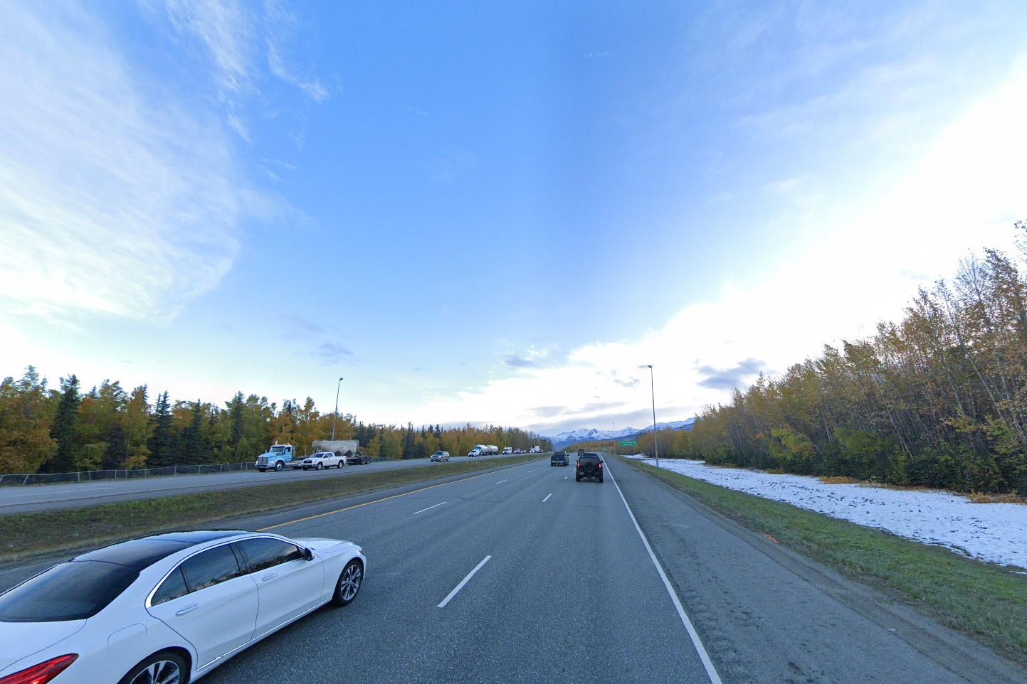
Alaskan state highway
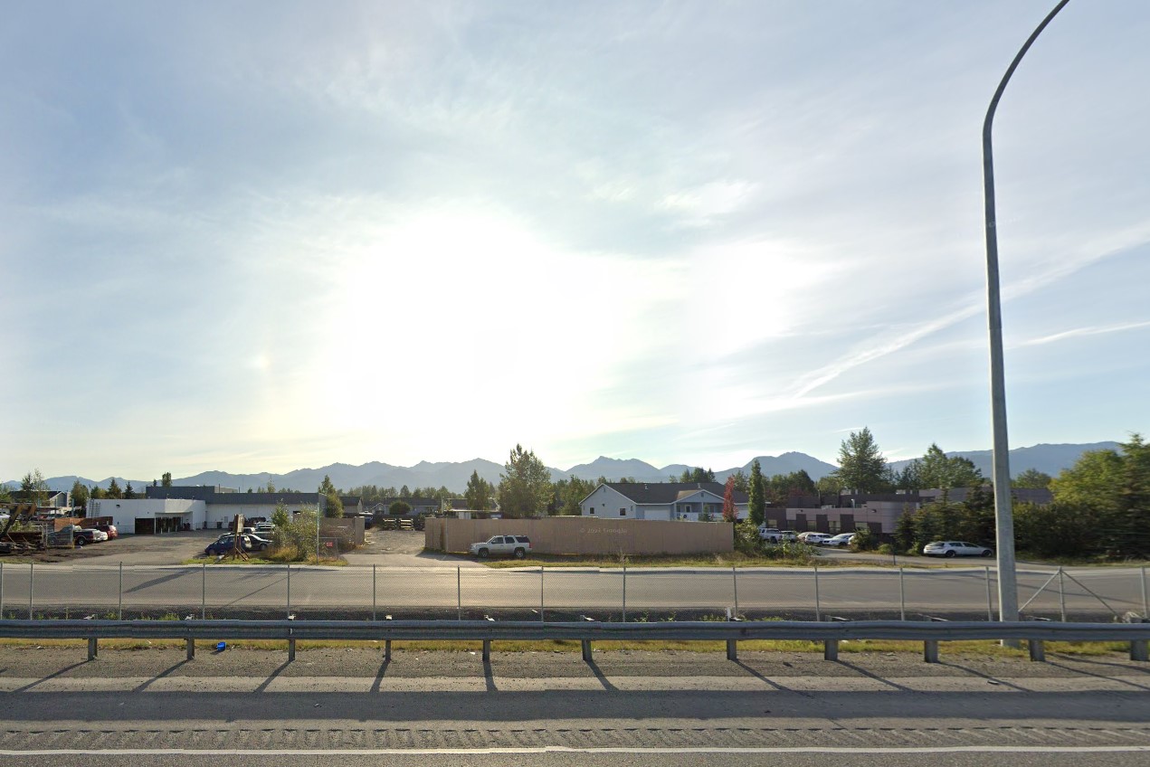
Mountains east of Anchorage
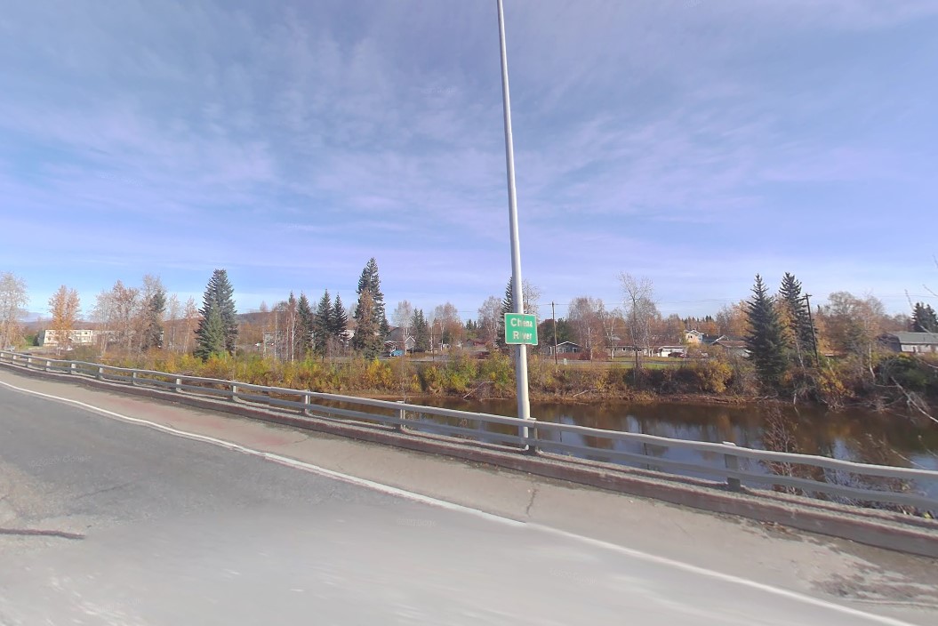
Rolling hills east of Fairbanks
Until they update the coverage, Fairbanks has a foggy generation 1 coverage taken by a white car with a black antenna.
It has a grid of numbered roads and brown traffic poles with curved lamp posts.
Though the standard is still used in some places, Fairbanks has a unique street sign layout, with numbers in the top left and bottom right corners.
Many smaller or unmarked intersections have blue bollards on the corners.
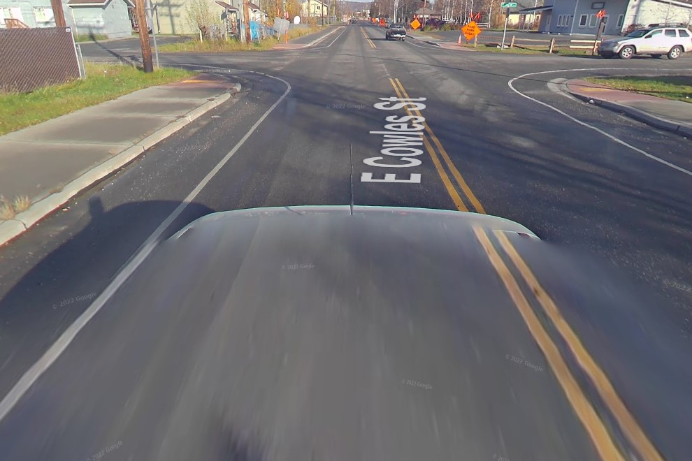
Google car in Fairbanks
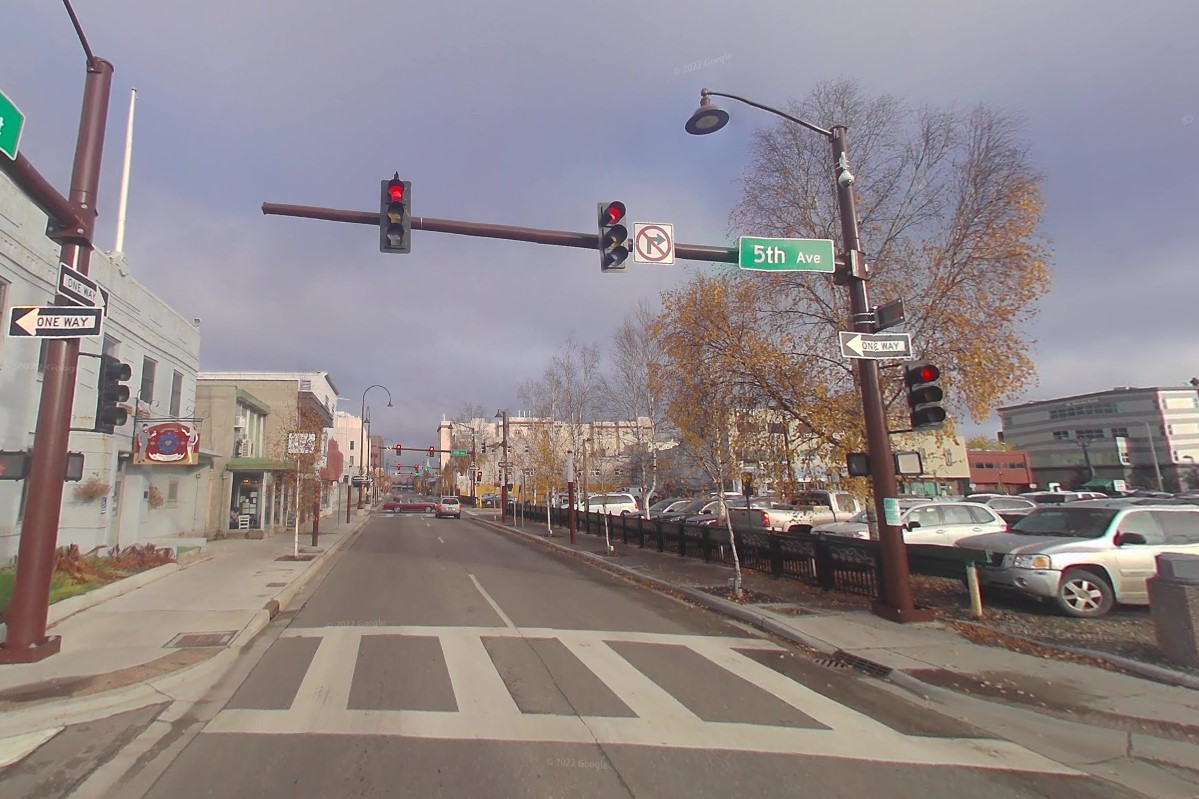
Curved brown lamps
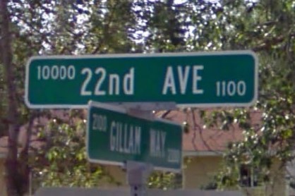
Fairbanks suburb street sign
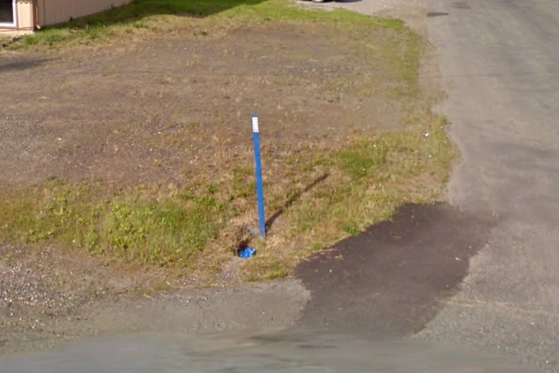
Blue bollards at intersections
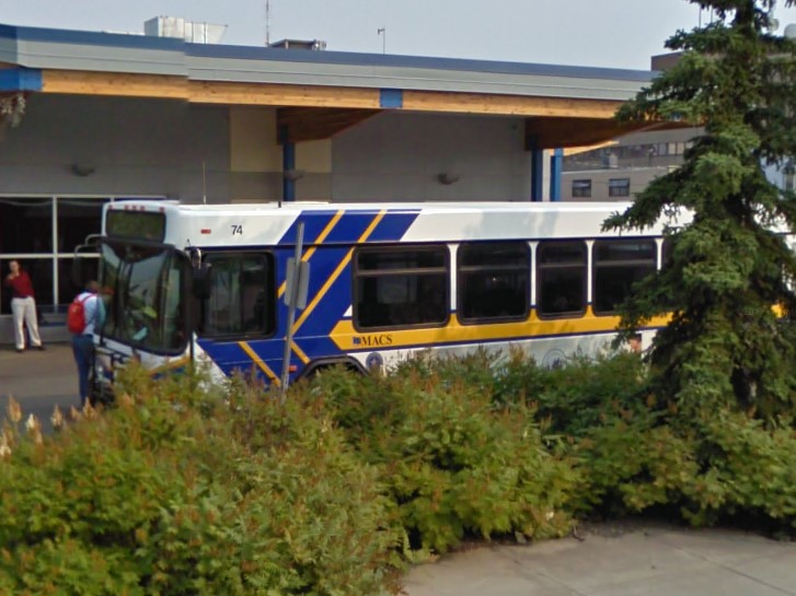
Blue/yellow public transit
Anchorage has craggy mountains directly to the east, visible from just about everywhere in the city.
Wooden power poles have yellow plates with black numbers, and metal poles are numbered with the prefix "ANC".
Parking meters are bright orange and the highway adoption signs around Anchorage feature an anchor symbol.
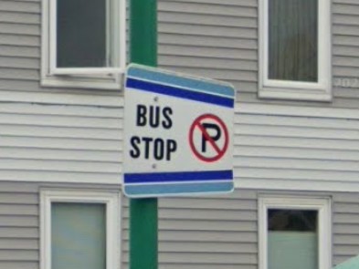
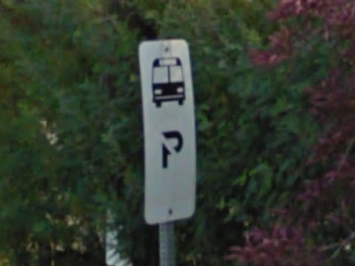
Bus stops are marked by curled green lamps and/or a "People Mover" sign.
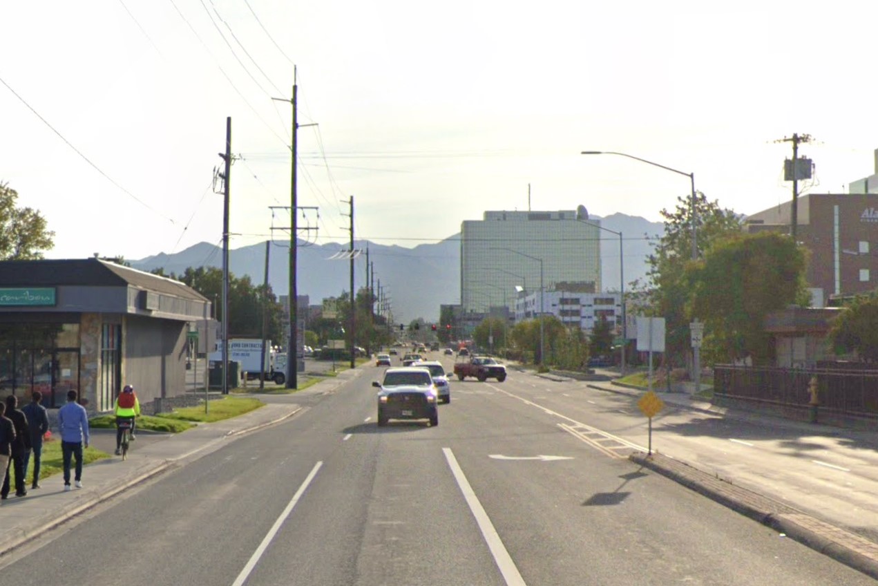
Tall mountains to the east
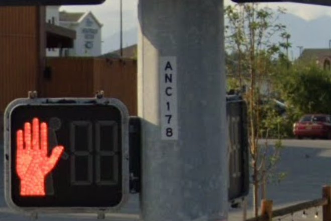
ANC marking on metal power poles
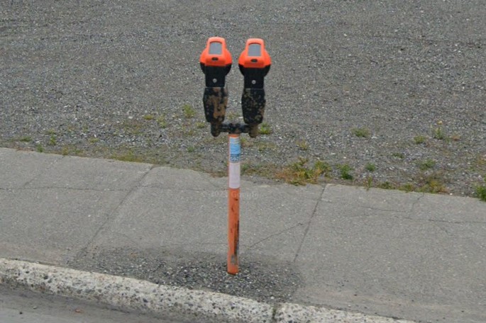
Orange parking meters
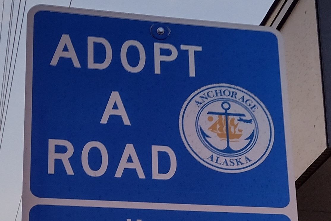
Anchor symbol on Adopt signs
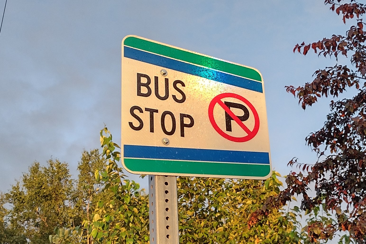
People Mover bus sign
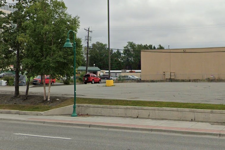
Curled green lamp without bus sign
Alaska's capital city is a grid-based town nestled between several mountain peaks.
It is centered around Egan Drive, lined by flags from each US state.
Downtown roads are numbered, but cross-streets are named with single letters.
The suburbs north of town are covered, and can be recognized by the unique mailbox support structures and solid blue boxes that say "Empire" or "Juneau Empire".
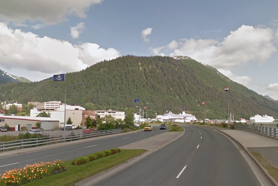
State flags along Egan Drive
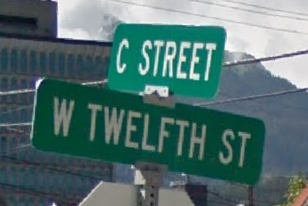
Lettered avenues & no white border
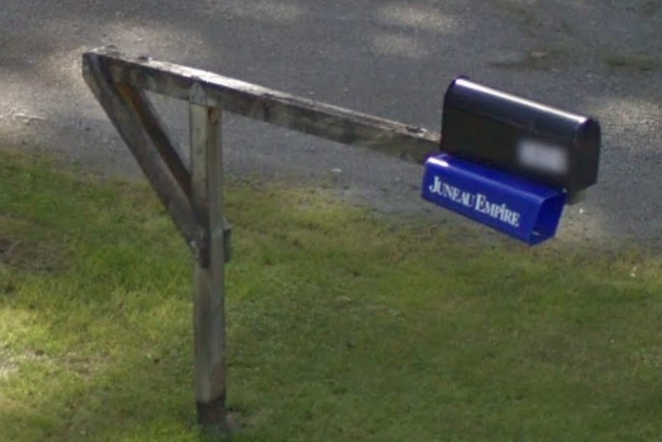
Suburban mailbox structure
Several other small towns have limited coverage in the south, including Sitka, Haines, and Skagway.
Skagway is a small town based around State Street, unique because there are no mailboxes, traffic lights, stickers behind signs, or bold black & yellow power pole markings.
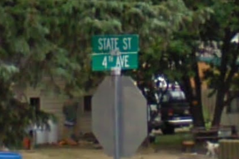
No colored stickers in Skagway
Official coverage featuring a white yacht weaves through the straits of Alaska's tail between Sitka and
Ketchikan.
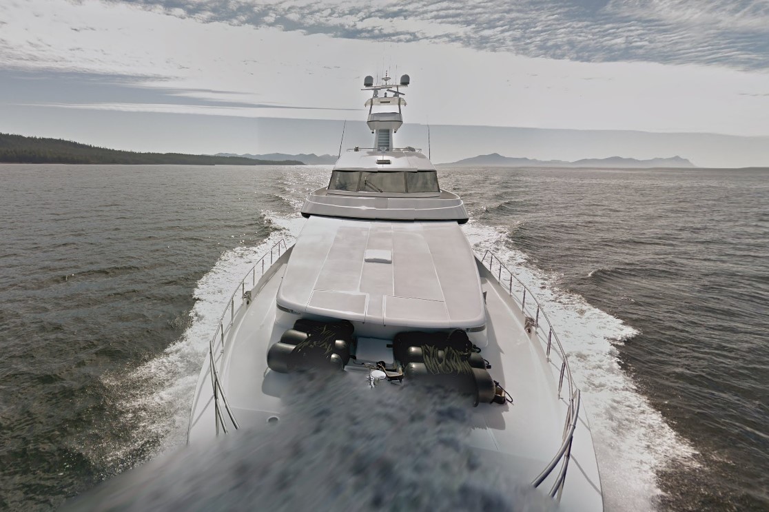
Google boat in Alaska
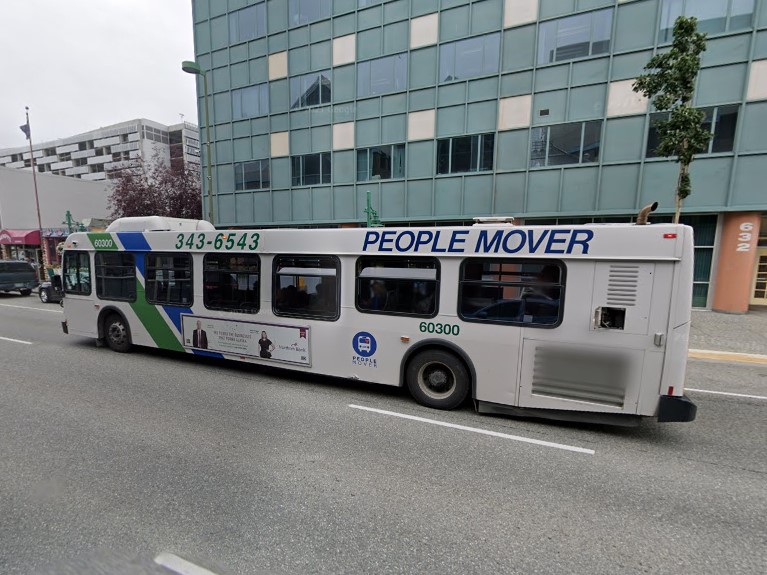
Anchorage | People Mover

Fairbanks | MACS
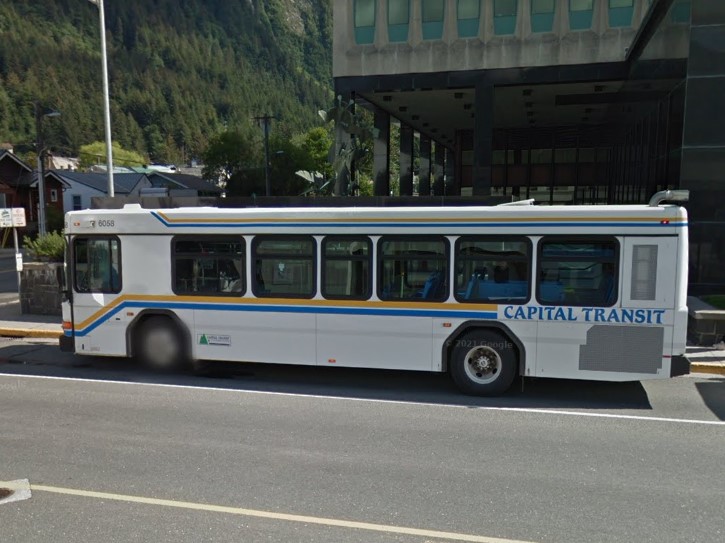
Juneau | Capital Transit
Anchorage | People Mover
Fairbanks | MACS
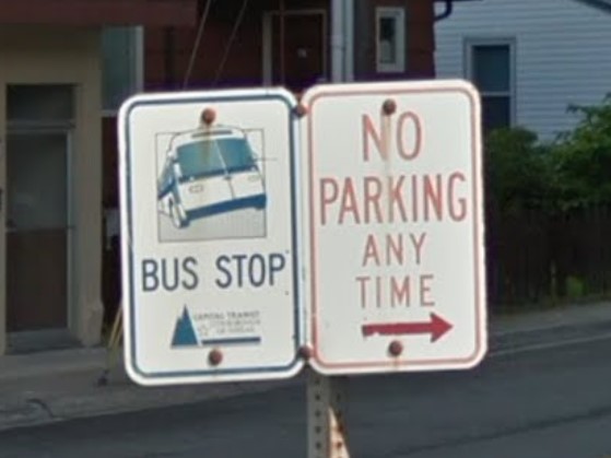
Juneau | Capital Transit
The orange Alaska license plate is similar in color to the 2010 New York license plate

Alaska 2004 plate

New York 2010-2020 plate
North Dakota and Indiana also put numbered stickers behind stop signs.

Alaska
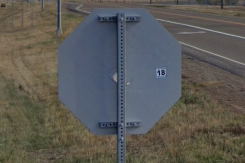
North Dakota
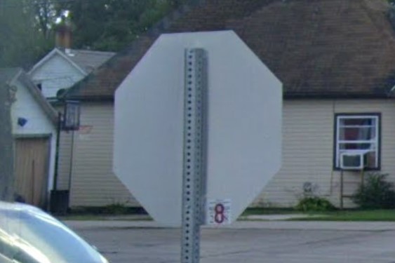
Indiana
Canada's Yukon has the same terrain as eastern Alaska, but the United States puts yellow bollards on guardrail ends, while Canada doesn't.
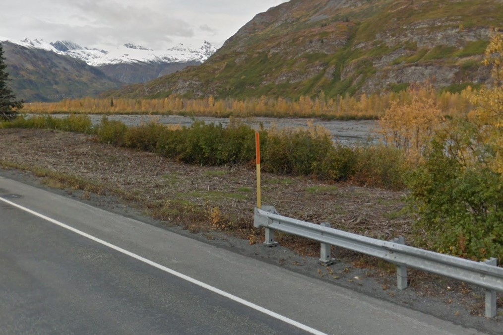
Alaska highway guardrail ends
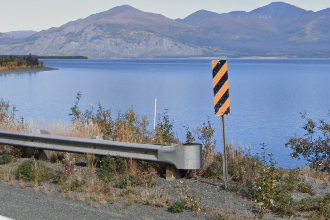
Canadian highway guardrail ends
The
Tongass National Forest uses flat green bollards with a white flag that looks similar to bollards in
Colorado and
Idaho.
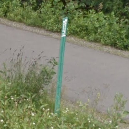
Tongass National Forest
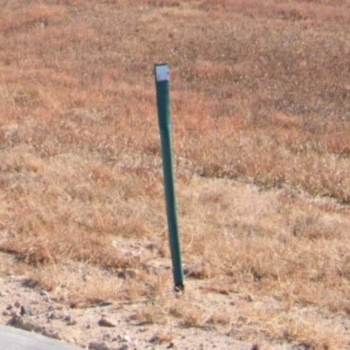
White marker with green post, Colorado
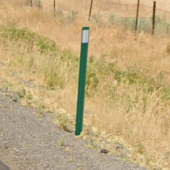
White marker with green post, Idaho
White birch tree trunks and glacier mountains can look similar to higher altitude coverage in the Rocky Mountains with quaking aspen
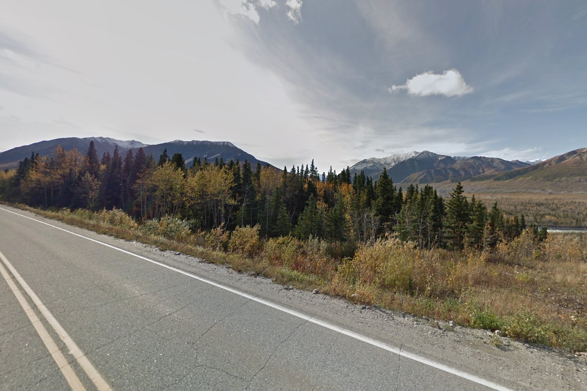
Alaskan birches and glacier mountains
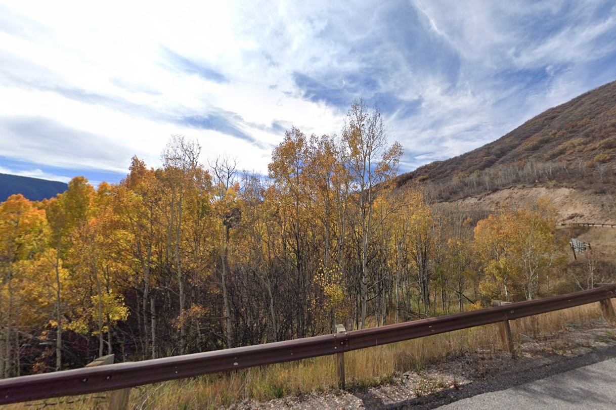
Quaking Aspen in Colorado
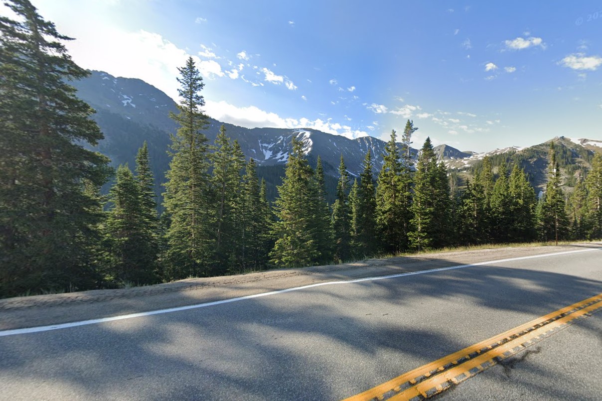
Spruces in high altitude Colorado
The stereotypical Arizona landscape is desert or grasslands, but this only applies to the south central region, where most of its population lives.
However, it can appear greener or even snowy depending on what month the coverage was taken.
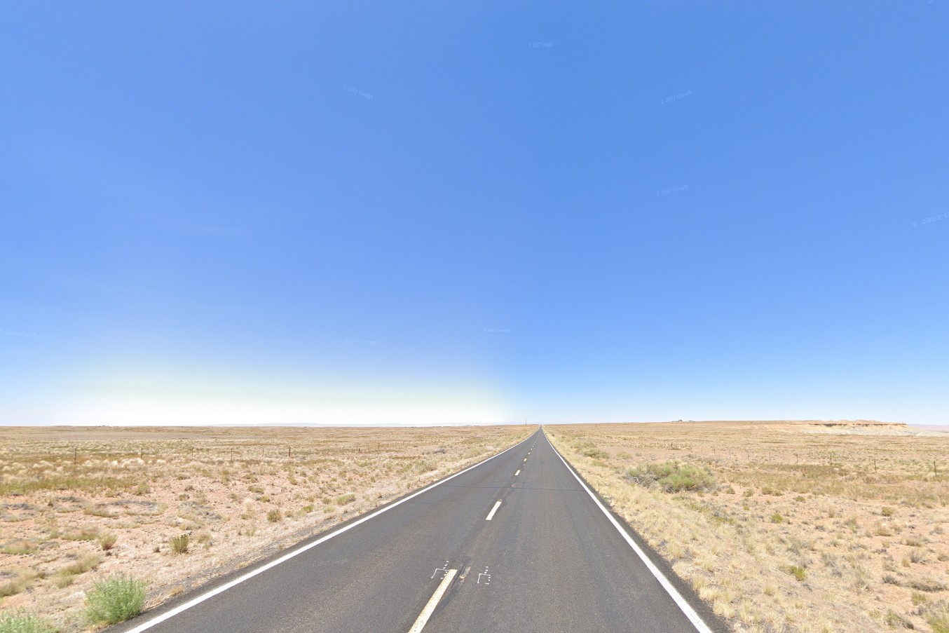
Stereotypical scrub desert
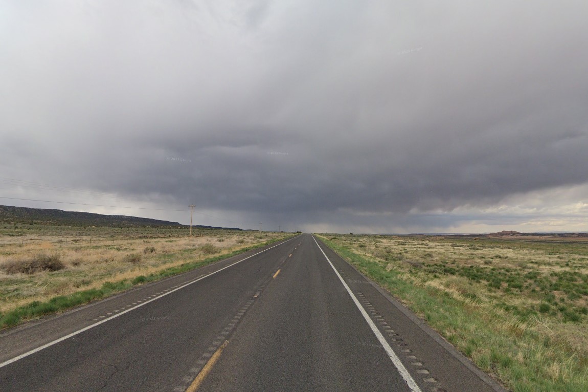
Rainy season
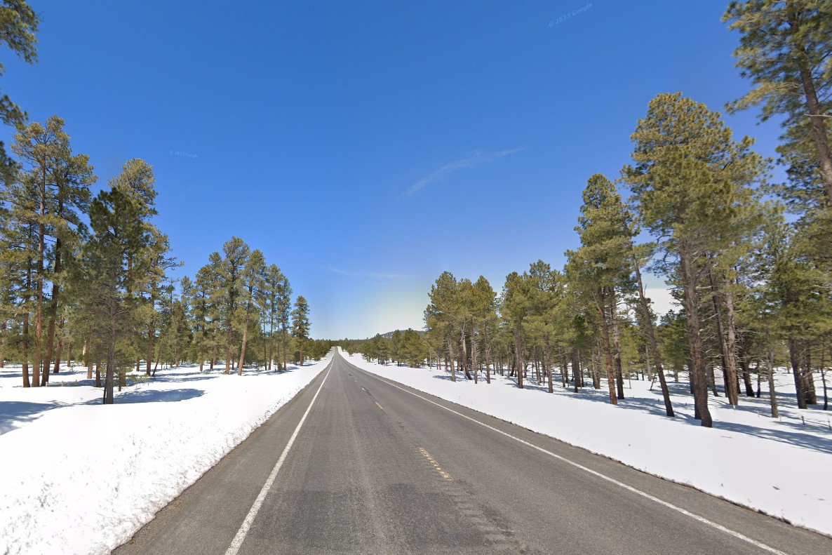
Winter snow coverage
In the north, elevation rises quickly, then plateaus, creating steep canyons of red and pink layered rock similar to neighboring Utah.
National Forests run through the center of the state, most composed of low growing pines.
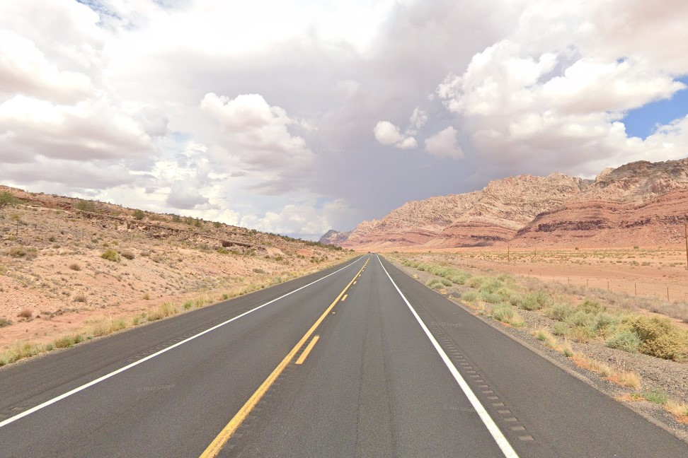
North Arizona
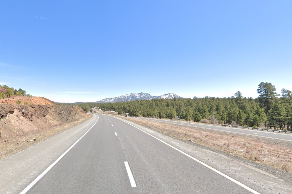
National forests
Outside of
Phoenix and
Tucson, much of Arizona's coverage is Interstates and US Highways through the desert.
Any road markings or construction equipment marked "ADOT" is Arizona, as opposed to "ALDOT" for
Alabama and "ARDOT" for
Arkansas.
There is only one standard license plate, and it's easiest to identify by looking for the splotch of purple in the bottom left corner.
Google coverage for the southwestern United States was orignially taken by a white google car with a small black antenna, and is still the only existing coverage on some roads.

Plate with purple in lower left corner
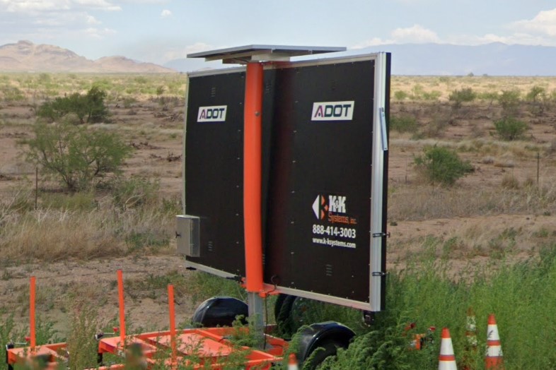
ADOT
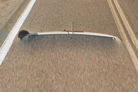
White car, small antenna
Yellow and black grid diamond warning signs as well as a white band with black edges on certain signposts are both good clues for Arizona.
On state roads, look for white square/diamond bollards and wood supports on guardrails instead of the usual metal or rubber.
In places prone to snow, guardrail ends have green and/or white bollards.
The Pedestrian Hybrid Beacon was developed in Tucson, and can be found sporadically all over the state.
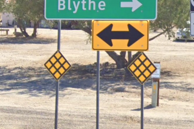
Black grid T-Intersection warning
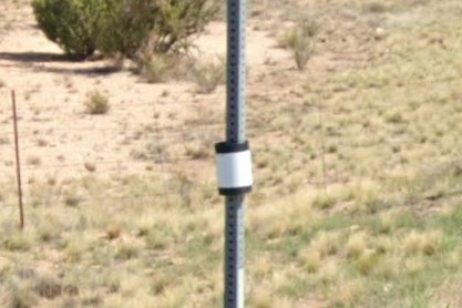
Stop sign marker
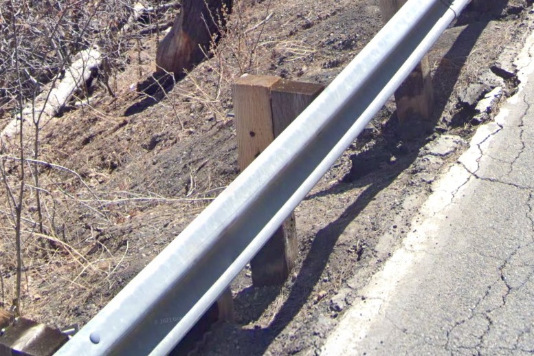
Wooden guardrail supports
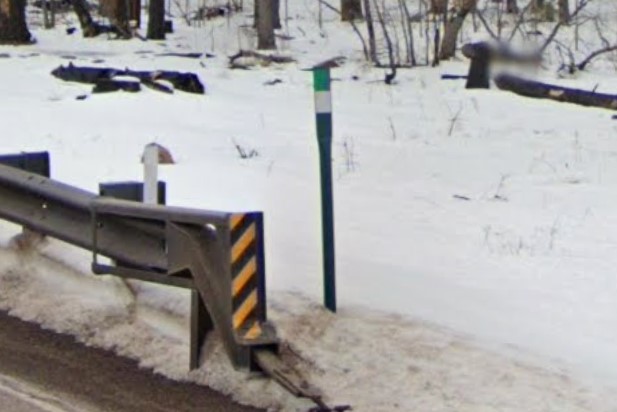
Green & white guardrail bollard
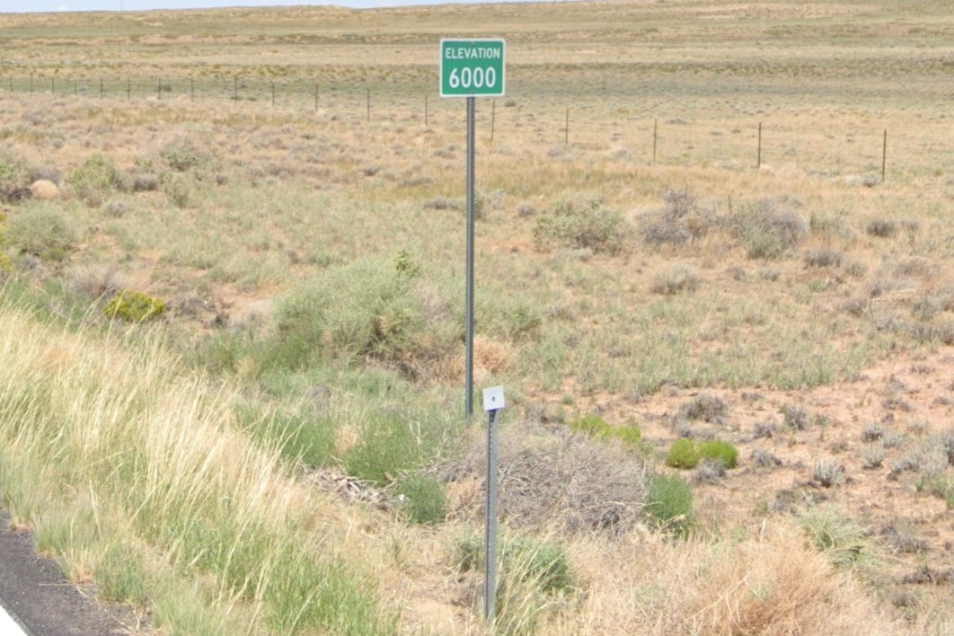
Square bollard and elevation sign
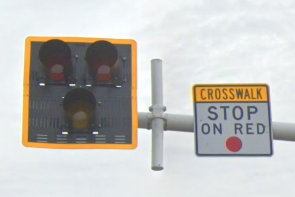
Pedestrian hybrid beacon
A very small portion of southern Arizona contains saguaro cacti and distance markers in kilometers. Both are Arizona-specific, but they are also very localized and don't come up very often.
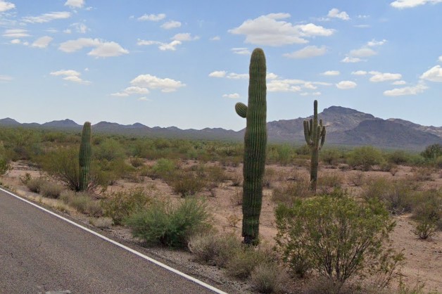
Saguaros near Mexican border
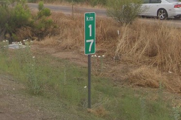
Distances in Km near S border
Overhead signs on interstate highways are mounted on curved poles more often than straight poles.
It's the most obvious clue on interstates, but it's not unique to Arizona.
Plastic bollards of solid yellow and solid white are common in the desert stretches, but metal bollards with white or yellow squares can be found in and around Phoenix and Tucson.
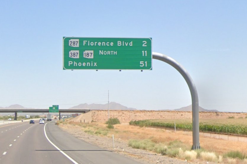
Curved metal billboard posts
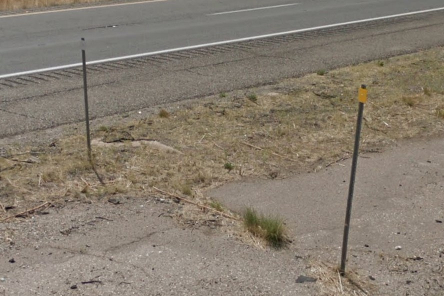
Metal square bollards
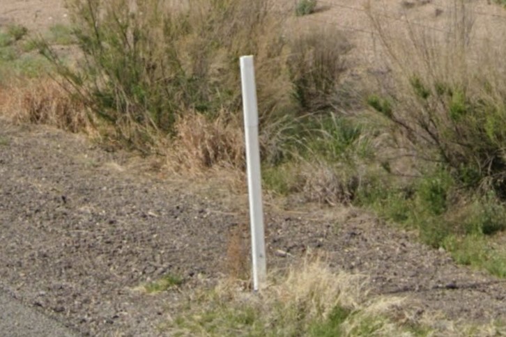
Plastic rectangle bollards
Interstate overpasses list the clearance height and crossing road name on green signs, with the exception of some in downtown Phoenix that do not.
"No Uturn" signs aren't always posted at crossovers, but when you see one, you're in Arizona.
Green markers labeled with a number and a "C" on offramps and onramps is unique to Arizona, and is the most reliable clue, but is only plausable if you're near an exit.
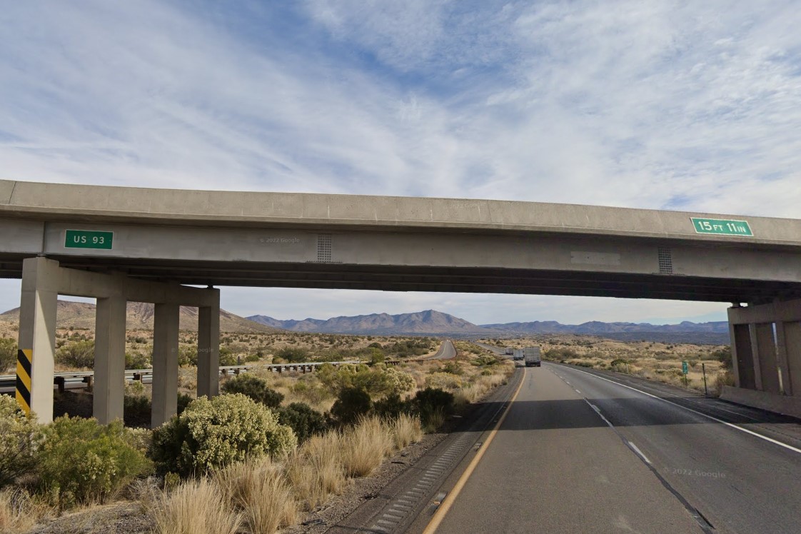
Interstate overpass green signs
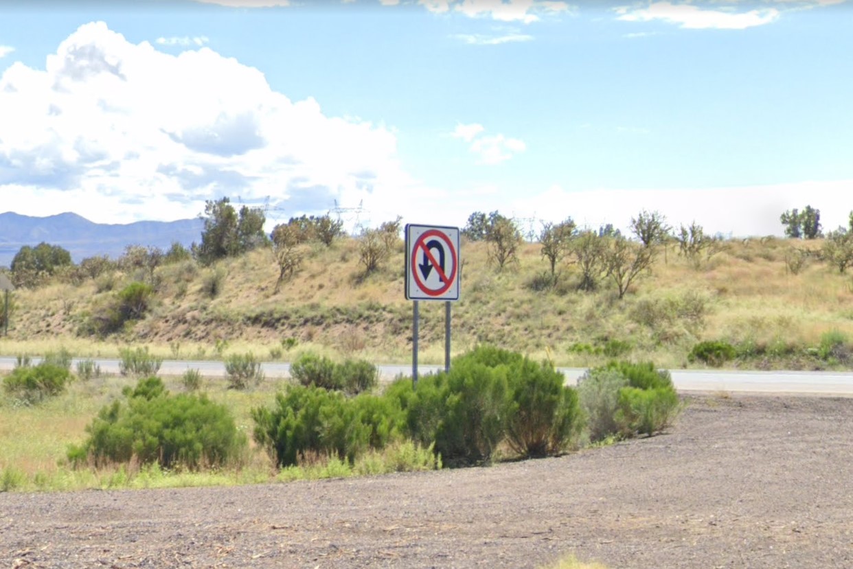
No Uturn signs in crossovers
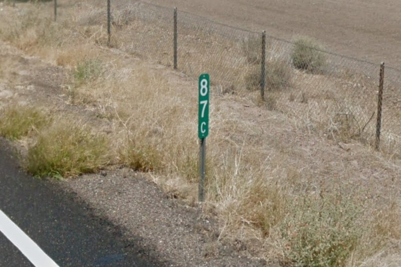
Green onramp and offramp marker
Phoenix is a huge metropolitan area in the center of the state with three designated area codes, although 602 is the primary.
Street signs on major roads have a red bird symbol in the lower right corner.
Side streets are marked with white signs and stop signs have red stripes on their posts.
A streetcar line runs through downtown, and public transit vehicles and info signs have a purple and yellow theme.
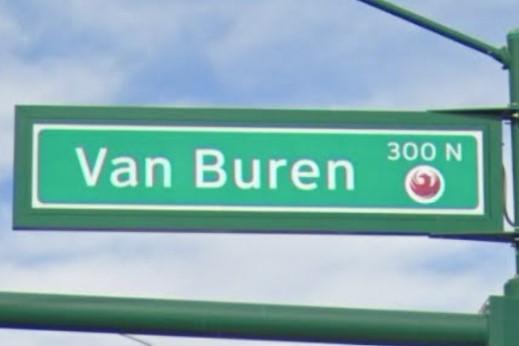
Phoenix city symbol
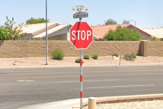
White street signs / red stripe stop signs
602 Area Code
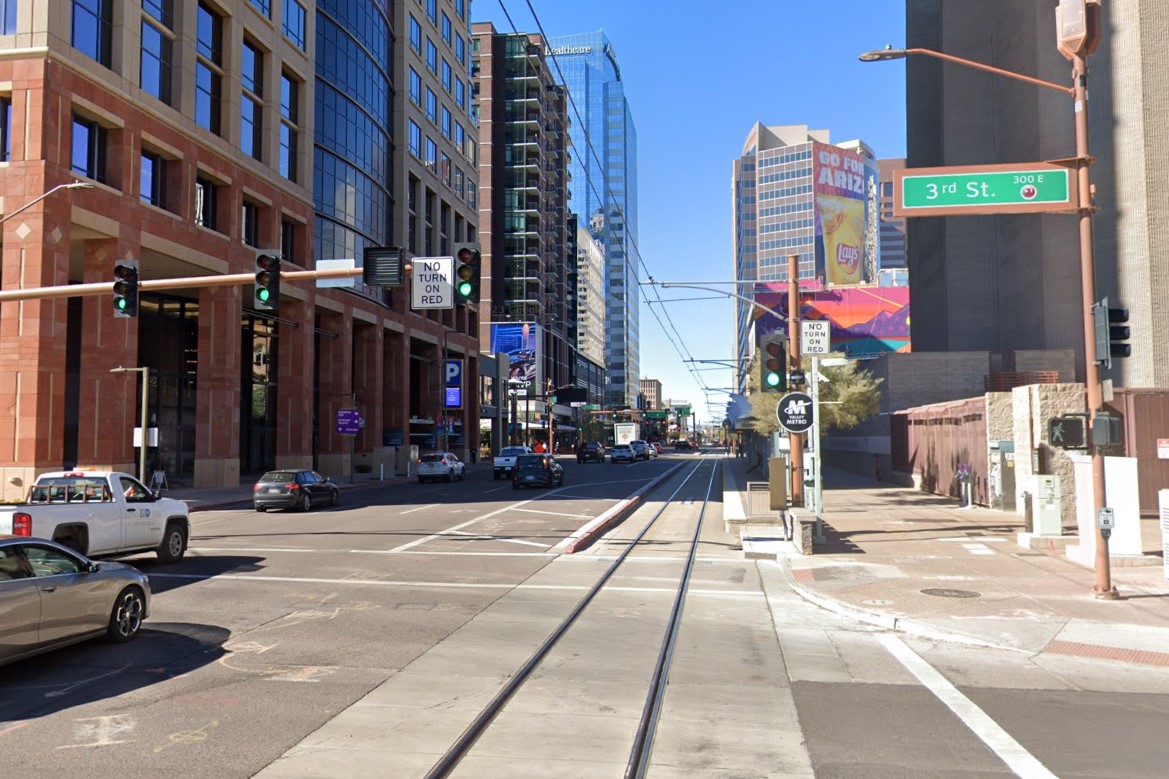
Streetcar Line
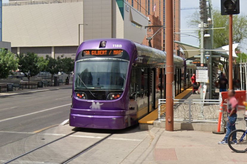
Purple streetcar
The metro area surrounding Phoenix is divided into several smaller cities, such as Mesa, Scottsdale, and Tempe.
In suburban areas, each of these districts uses a different label on trash bins.
Major road signs outside the city center have an arrow in the top left, but not the red bird symbol.
A smaller version of the yellow and black grid can appear, with only three sections instead of nine.
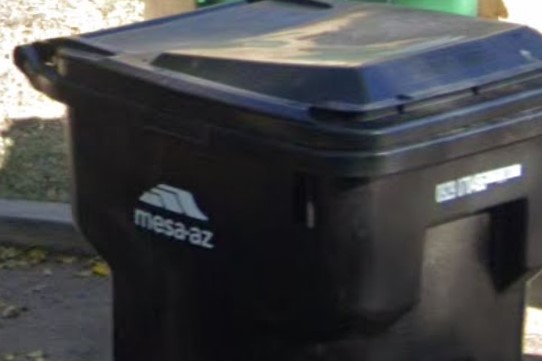
City name on trash bins
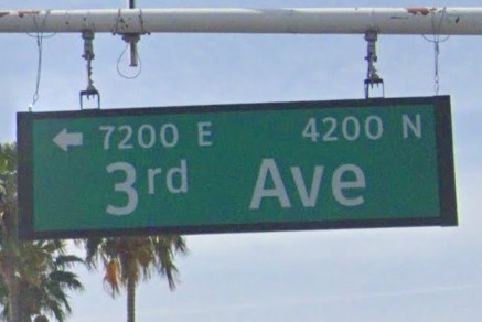
Arrow without red bird symbol
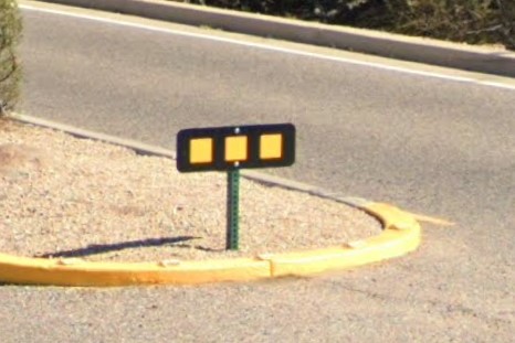
Abbreviated black grid warning

Phoenix | Valley Metro
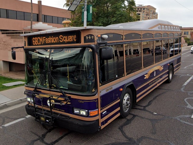
Scottsdale | Scottsdale Trolley
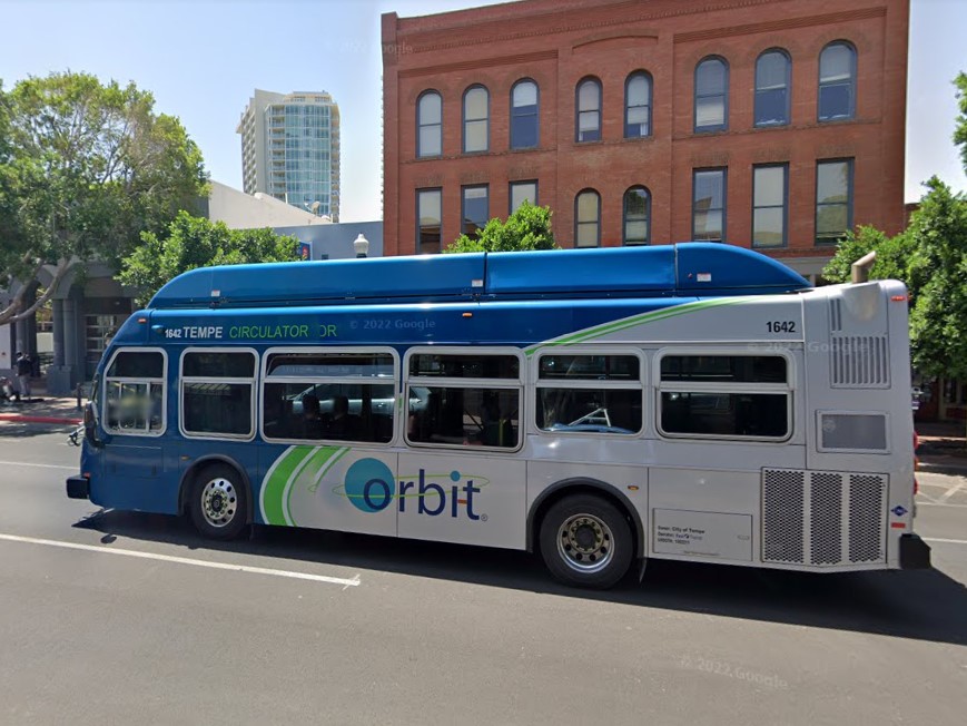
Tempe | Orbit
*Phoenix ended its bikeshare program in 2020
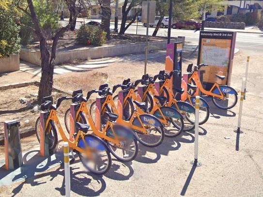
Tucson
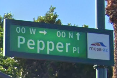
Mesa
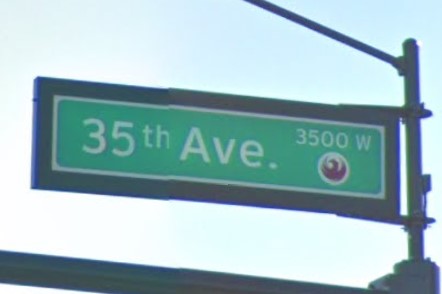
Phoenix
Maine also has some distances posted in kilometers.
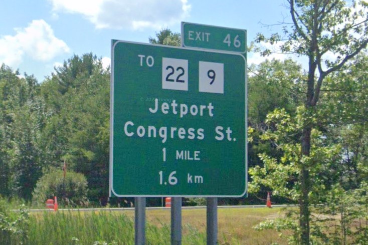
Maine

Arizona
Several towns in Oregon also have red/white stripes on their stop signs, and the
Texas red stripes can also look similar if there are multiple stripes.

Phoenix, Arizona
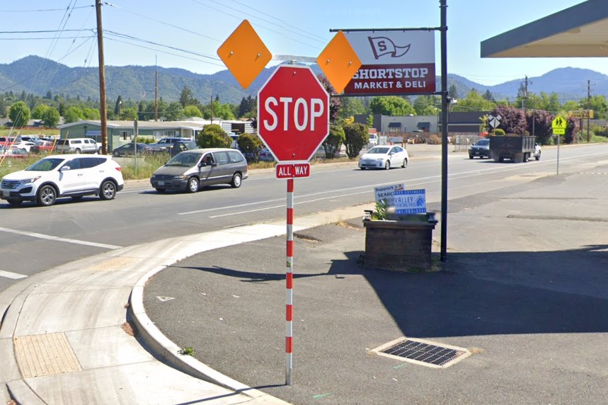
Grant's Pass, Oregon
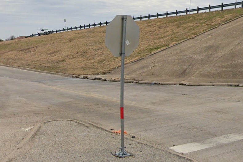
Texas
California has a lot of geographic variation, with mountain ranges on the east and west coast surrounding the central valley.
Elevation signs are posted near areas of rapid elevation change, but you'll also find these in nearby states.
Many highways either have a rumble strip along the center yellow lines or a black strip between the yellow lines to make them more visible.
The standard license plate is white, but the legacy black and gold plate is fairly common.
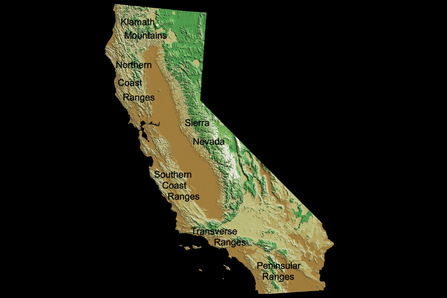
Topographical map
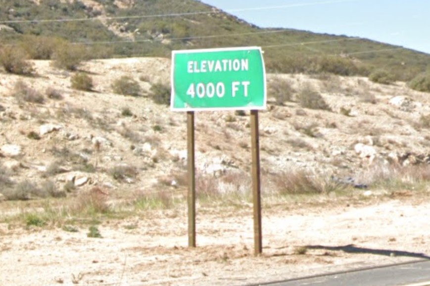
Elevation sign
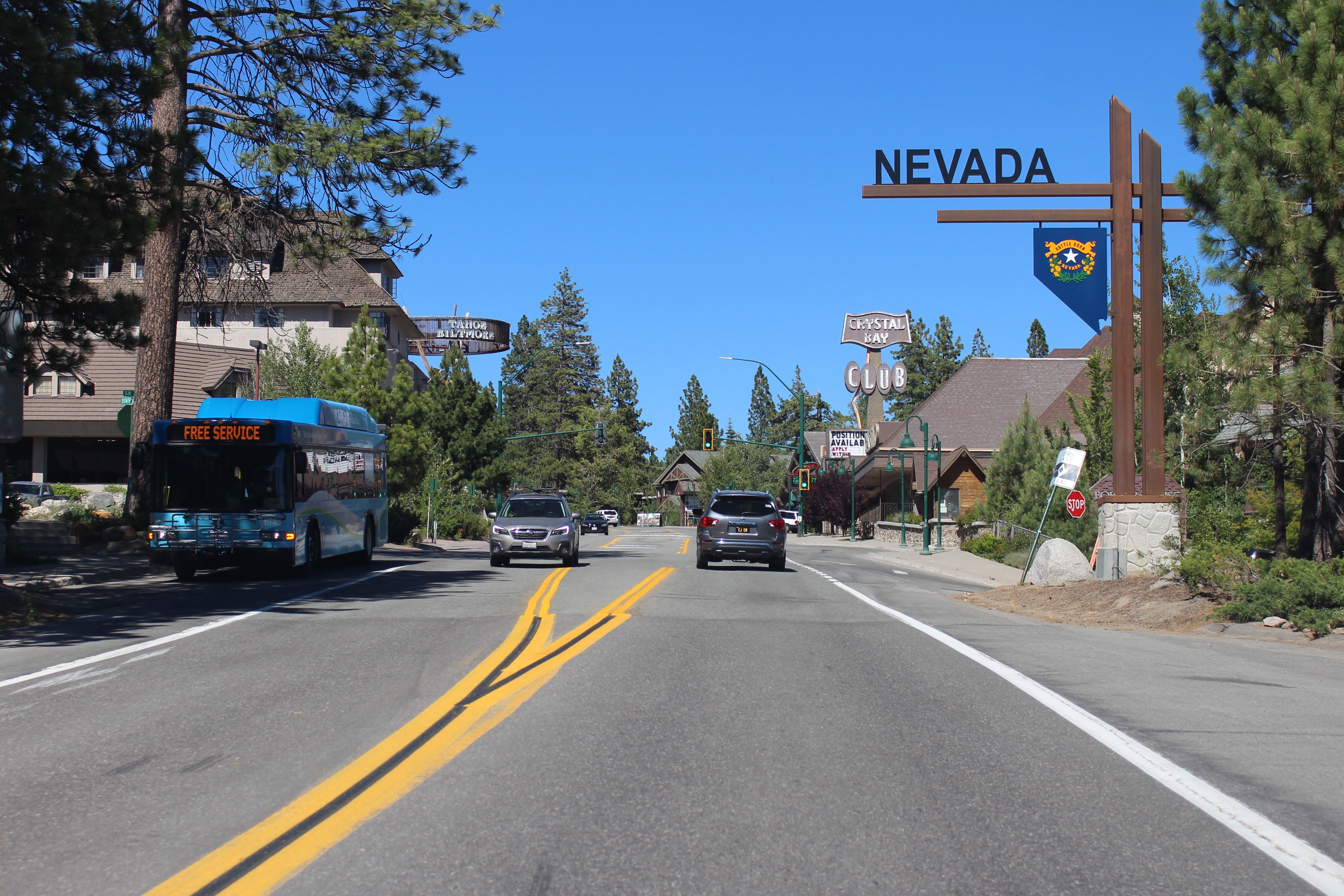
Black between yellow lines
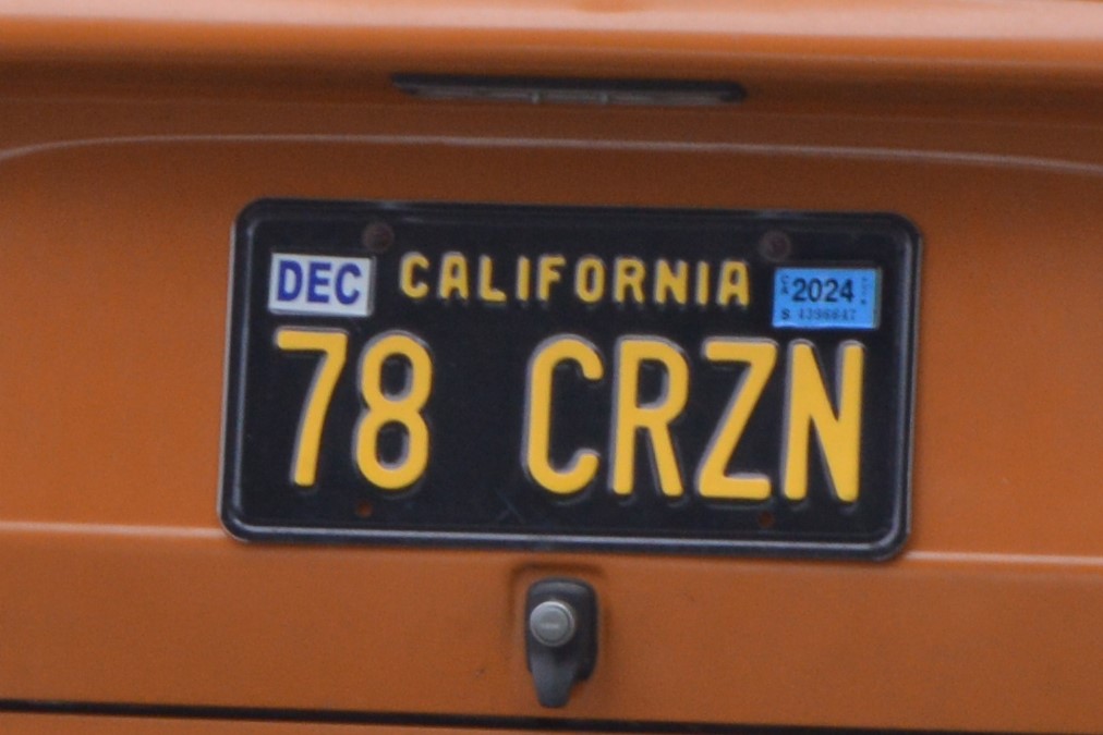
Legacy California license plate
Most utility poles have three yellow stripes, with a few notable exceptions, including the far north near the
Oregon border.
The yellow power pole stripes in
Imperial County are lower to the ground and spaced much closer together.
San Diego County and some of the surrounding area also posts a warning sign, "High Voltage Above, Keep Off".
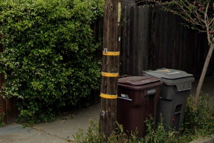
3 yellow stripes on utility poles
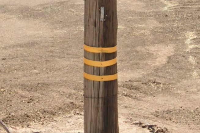
Imperial County stripe spacing
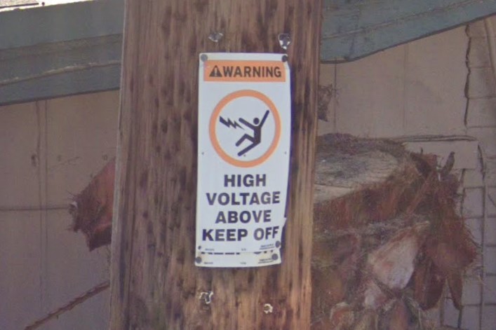
San Diego County warning sign
Fuel prices change all the time, but the prices in California are generally about a dollar higher than in neighboring states.
For a similar reason, there are more electric vehicle charger parking spots and the occasional hydrogen fueling station.
Drivers aren't allowed to use self-service fuel pumps in Oregon, but they can in California.
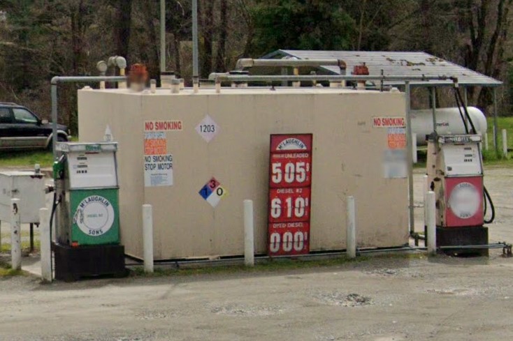
Higher fuel prices
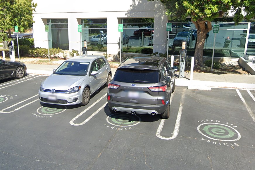
Electric vehicle chargers
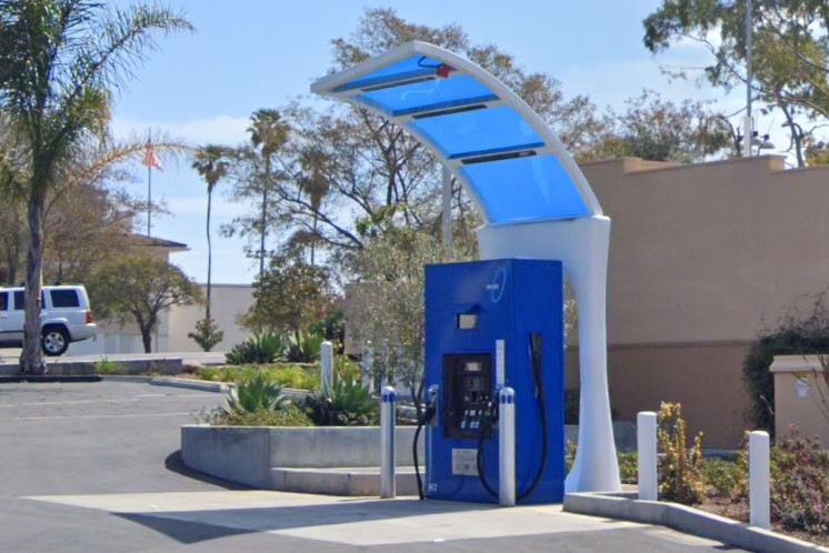
Hydrogen fueling stations
State highways have regularly spaced call boxes and flat white markers with the state route number on top and a three-letter combination for the county just below.
You can also find this info on signs posted on either side of bridges.
A list of county abbreviations can be found
here.
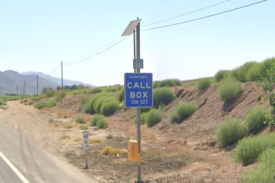
Call box
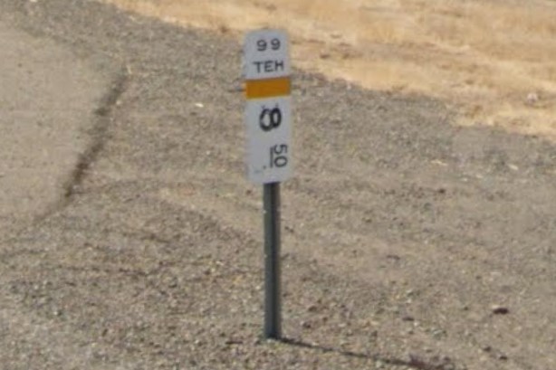
State highway marker
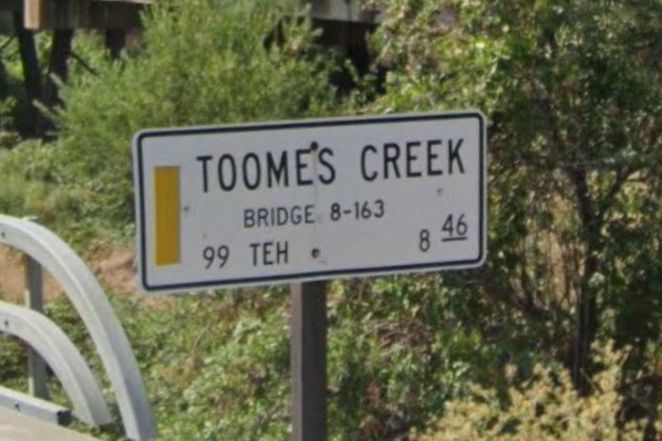
Bridge sign
California makes several deviations from the national standard for highway and interstate signage.
Exit numbers are listed in the top corner of green signs, but they are inside the larger rectangle rather than extending above it.
Near the exit, a square-ish green sign lists "exit", the exit number, and an arrow on three separate lines.
Exit features appear as blue or brown squares, and food stops appear as a generic plate and utensils instead of the standard list of companies.
If a historic location can be accessed from that exit, there will be a brown sign with the historical marker symbol.
Fastrak Tollroads and many of the blue square symbols- like the truck terminal access sign- are unique to California.
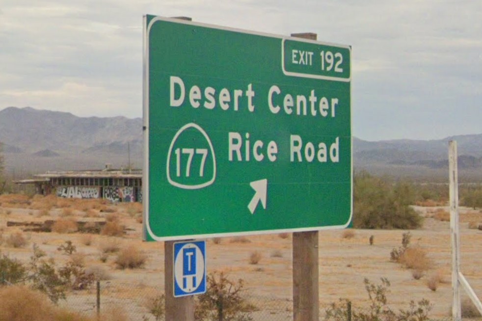
Exit number inside larger rectangle
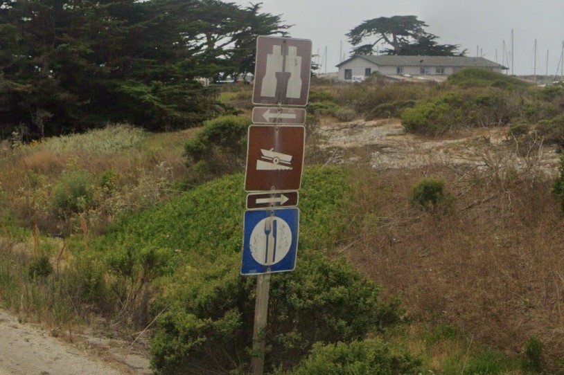
Blue and brown square signs
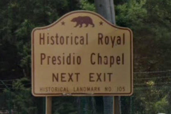
Historical marker exit sign
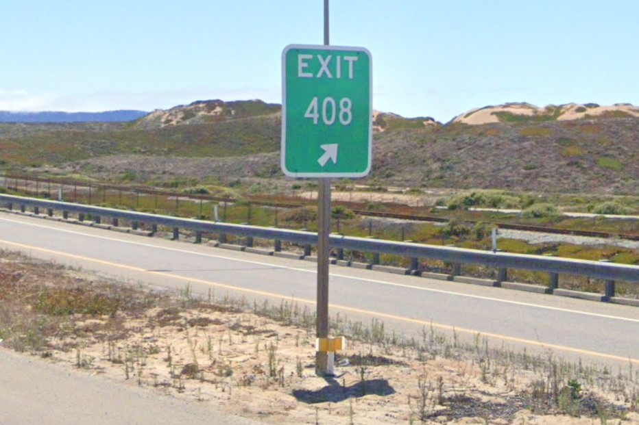
California exit sign
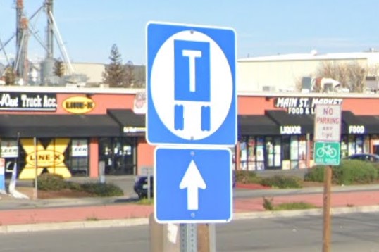
Truck Terminal Access sign
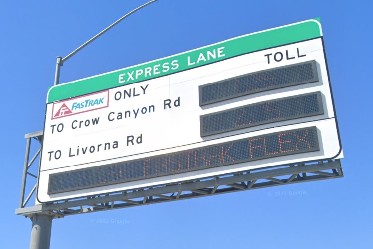
Fastrak Tollroads
In California, crosswalks near schools are yellow, which is unique to the state.
Trash cans marked "Green Waste" can be found throughout mid-California, from Sacramento to San Franciso.
In the San Francisco bay area, highways mark transit stops with BART and some parking signs have a letter that corresponds to a certain region of the city.
Street signs in Oakland have a white tree symbol.
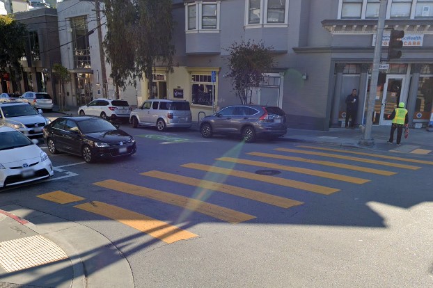
Yellow crosswalk
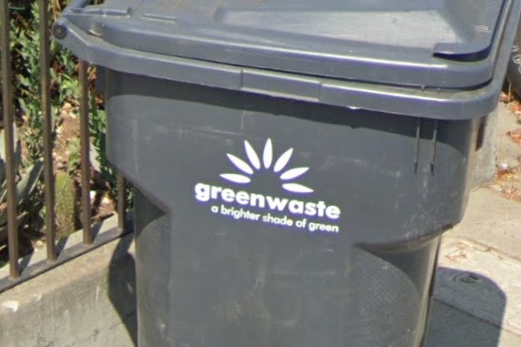
Green Waste
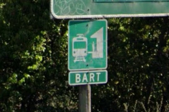
BART (Bay Are Regional Transit)
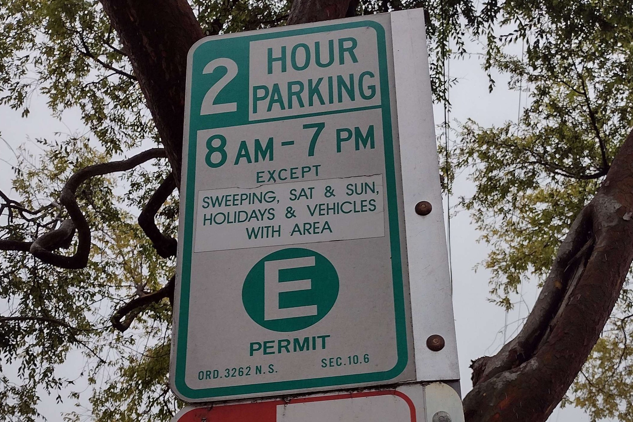
Parking sign "E" zone
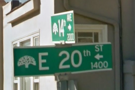
Oakland tree symbol
Like several states on the east coast, California deviates from the national green-white standard for street signs fairly often.
The most common deviations are white letters on a brown background and- especially in the south- white letters on a blue background.
Several California counties use a hollow, trapezoidal shape for street signs.
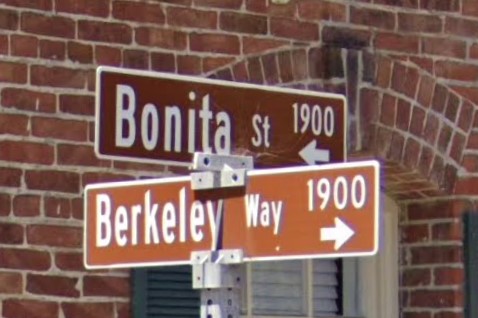
White-on-Brown in Berkeley
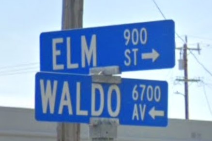
White-on-Blue in El Cerrito
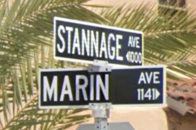
White-on-Black in Albany
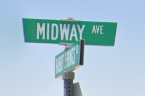
Trapezoid sign in San Bernardino County
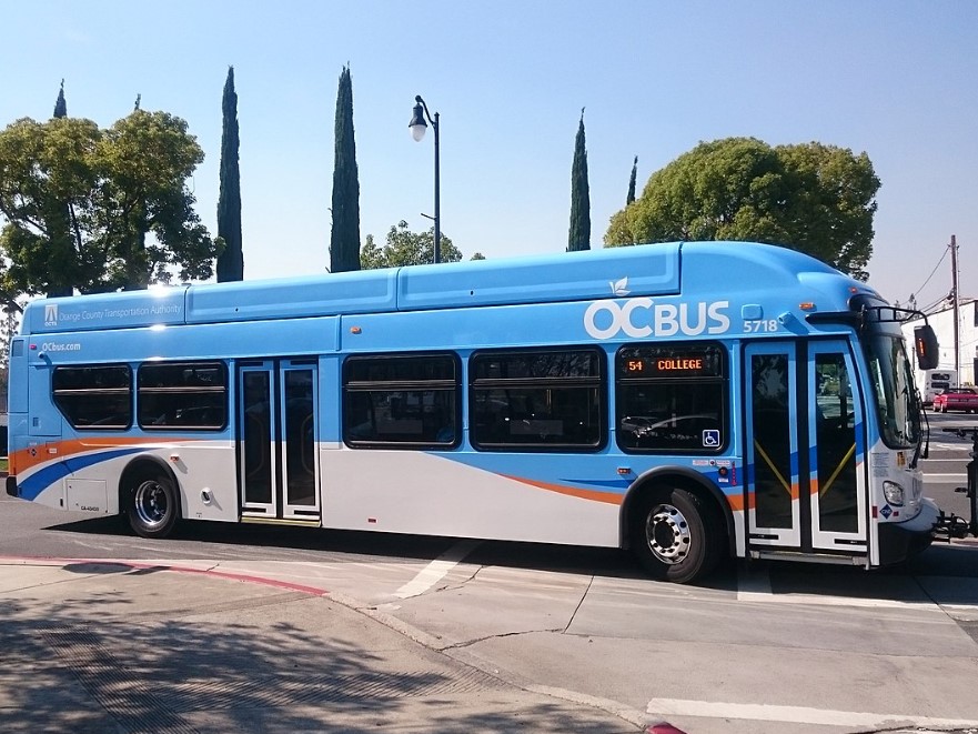
Los Angeles | OC Bus
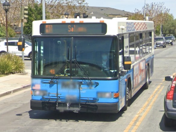
Monterey | MST
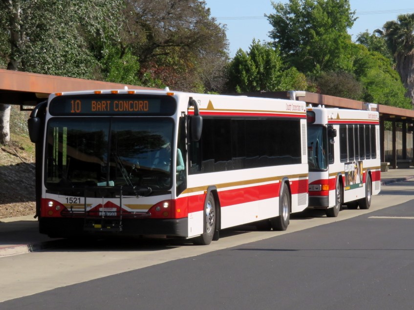
Oakland | County Connector
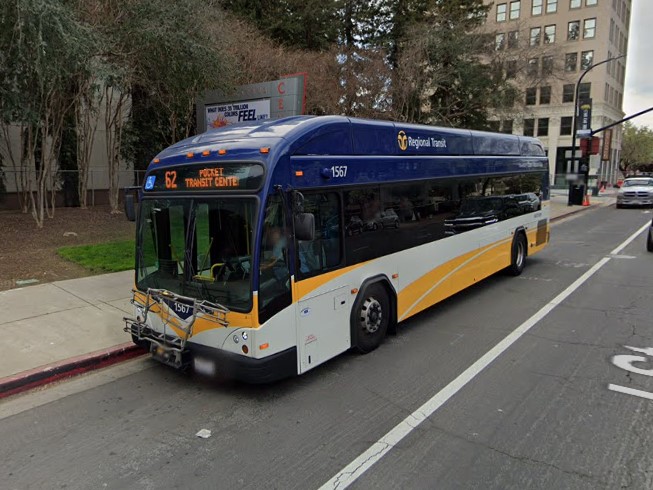
Sacramento | Regional Transit
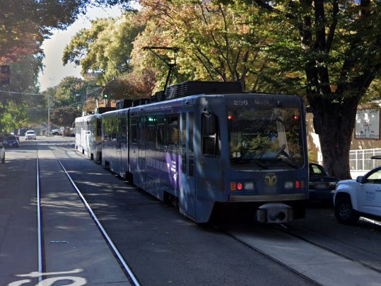
Sacramento | Sacramento RT
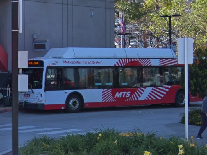
San Diego | MTS
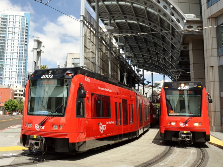
San Diego | MTS
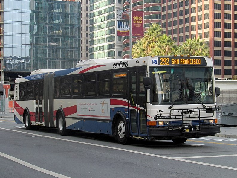
San Francisco | samTrans
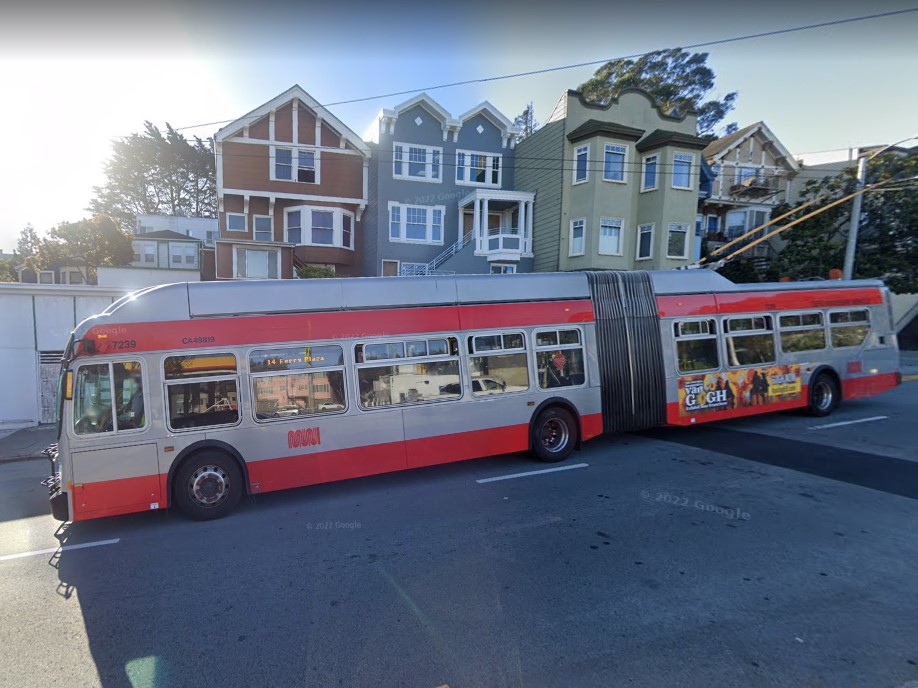
San Francisco | NNN
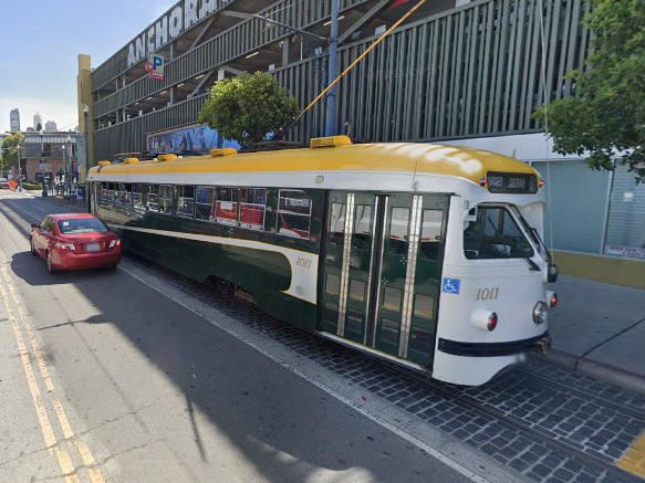
San Francisco Trolley
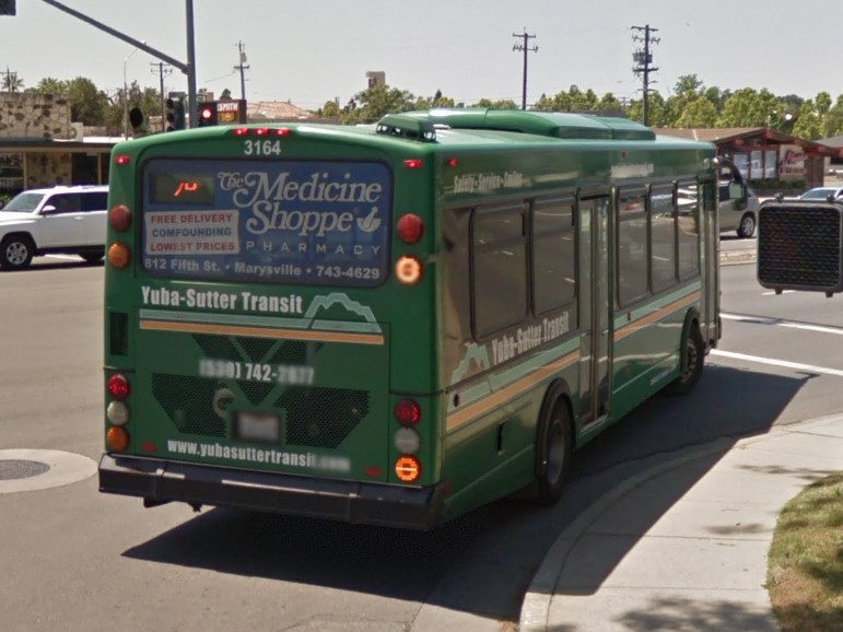
Yuba City | Yuba-Sutter Transit
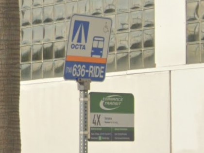
Los Angeles | Foothill Transit
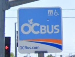
Los Angeles | OC Bus
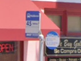
Monterey | MST
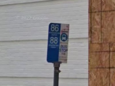
Sacramento | Regional Transit
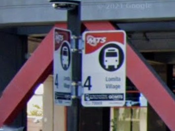
San Diego | MTS
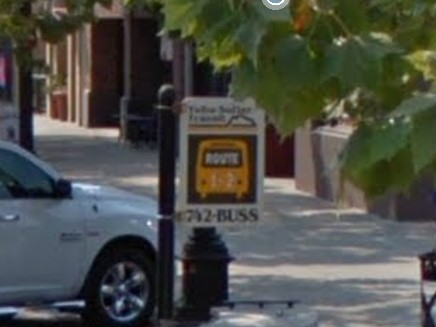
Yuba City | Yuba-Sutter Transit
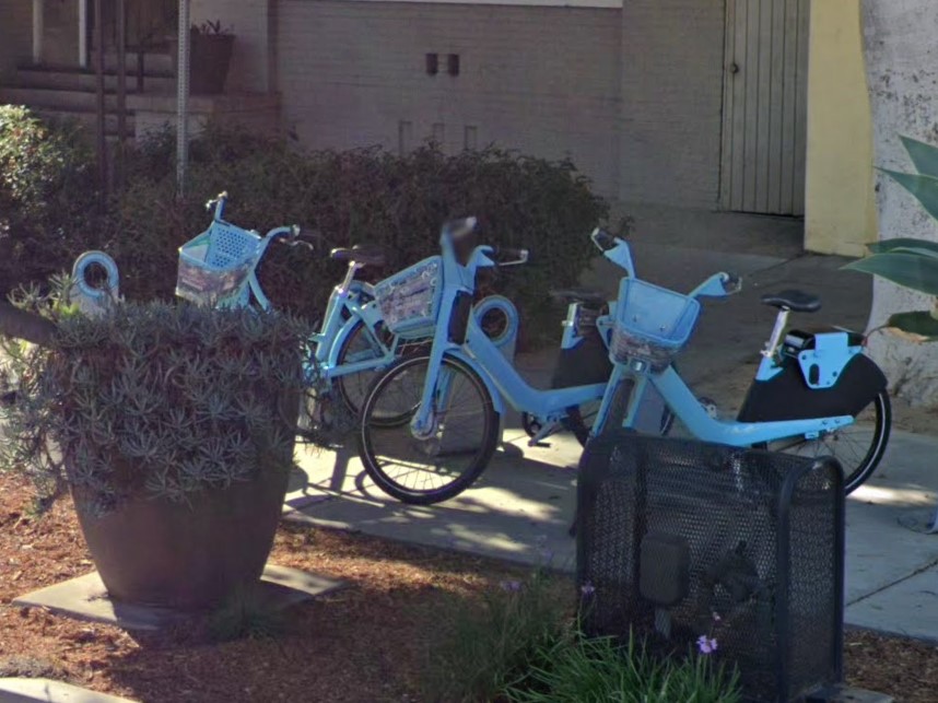
Long Beach
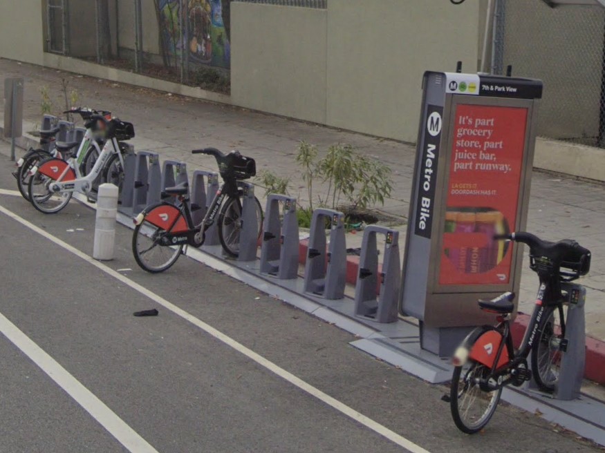
Los Angeles
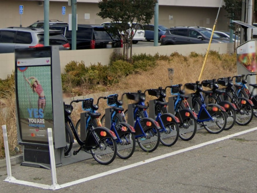
San Francisco to San Jose
Three yellow strips on power poles usually mean California, but they have also been spotted in
Oregon,
Utah, and
Washington.

California stripes
Some of the bigger white markers with no writing and a black tip look similar to the white bollards found in Minnesota.
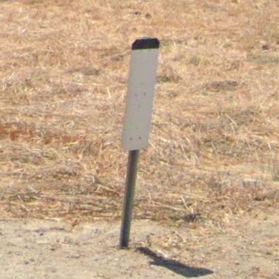
California
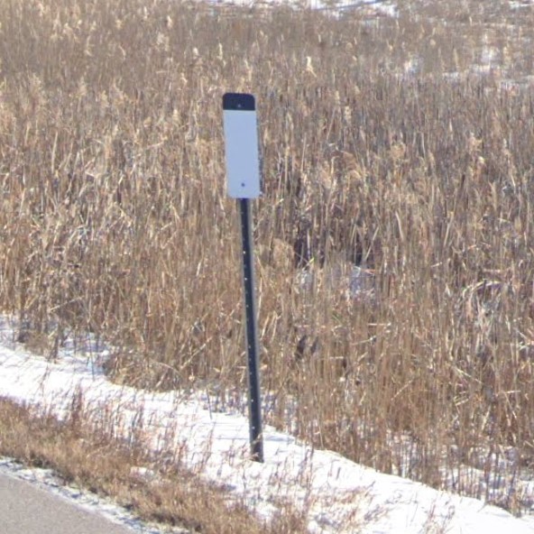
Minnesota
Colorado is roughly split north/south by Denver, from the dry grasslands in the east to the Rocky Mountains in the west.
Most distance bollards have one or more circles, mounted on a green post.
In the mountains, guardrails are marked by three blue or green circles on a green post, and many traffic signs are mounted on a yellow post.
Bridges are marked with a sign unique to Colorado, and sometimes run parallel to an older, out of service bridge maintained for historical purposes.
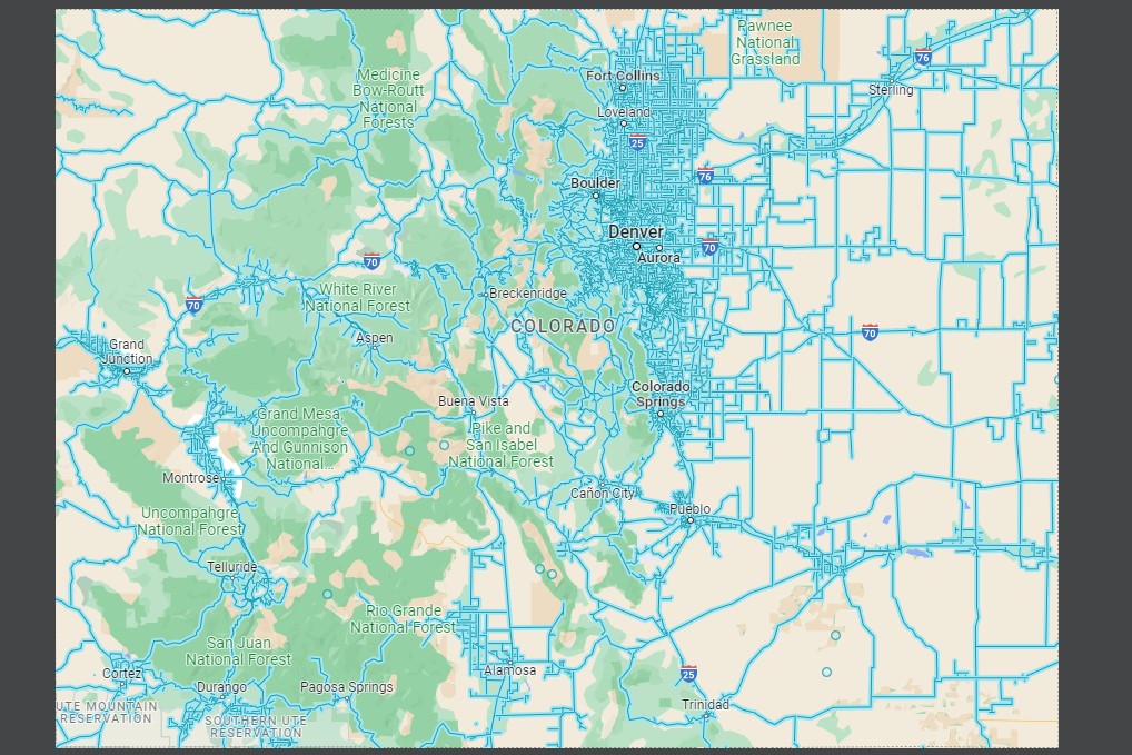
Colorado Coverage
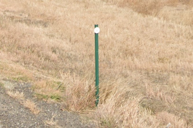
Bollard with green post
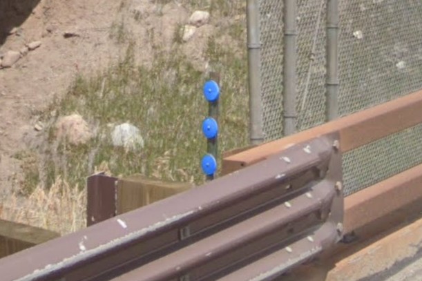
Triple circle bollard
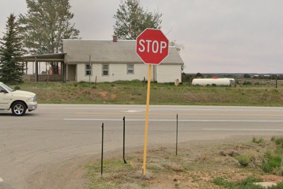
Yellow sign post
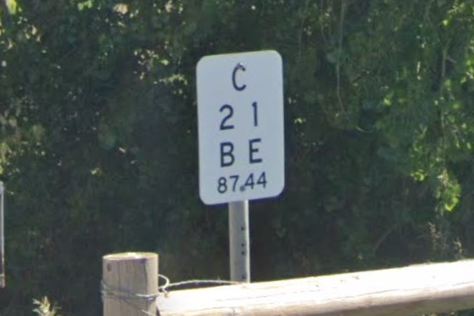
Colorado bridge marker
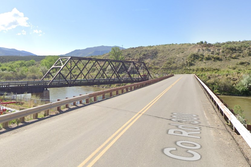
Historic bridge next to modern one
East of Denver is mostly dry grasslands, similar to Kansas and Nebraska.
However, only Colorado has green post bollards and county roads named with letters.
Kansas doesn't use bollards and Colorado's neighbors use numbers for county roads.
Missouri also use letters for county roads, but they post a unique sign to mark them.
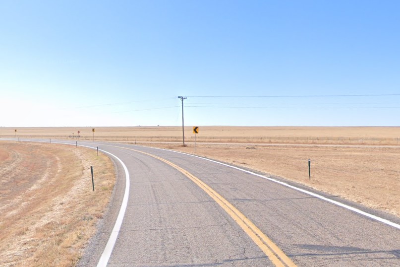
Eastern grasslands
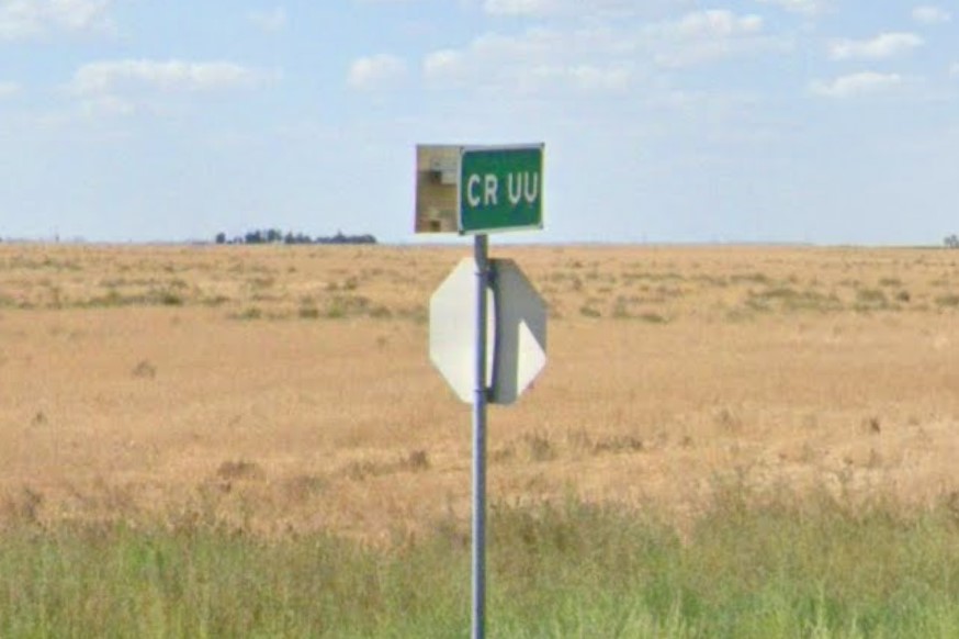
Lettered county road

White bollard with green post
Small towns consist of one or two-story brick or stone buildings with grid-based concrete streets. The main streets of these towns are usually marked US or State highways.
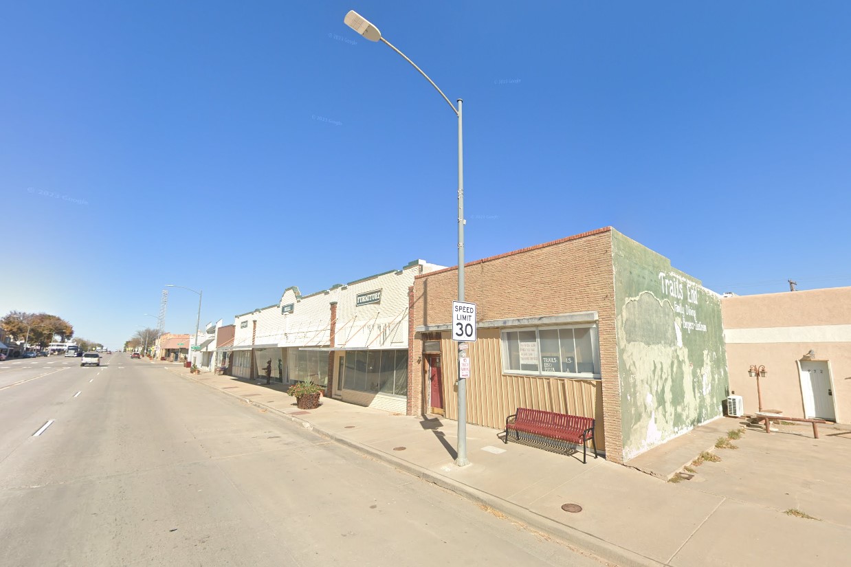
Eastern Colorado architecture
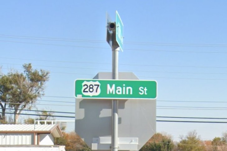
Main street marked US highway
North and northwest Colorado are scrub deserts, similar to Utah and Wyoming.
US highways are marked by white circle bollards with brown-ish posts. Wyoming also uses white circle bollards with brown posts in similar landscapes, but if you see a bollard with two yellow circles, you're in Wyoming, not Colorado.
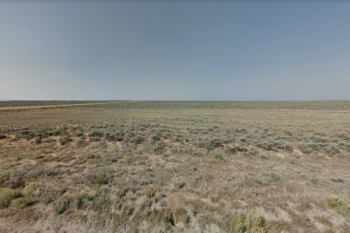
Scrub Desert
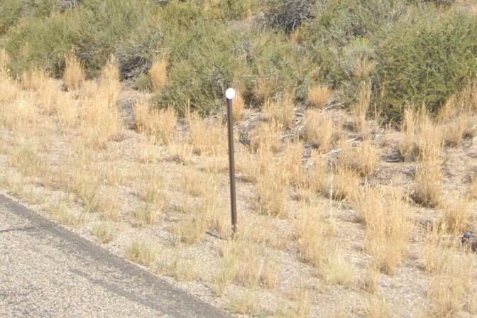
Bollards in the north/northwest
Western Colorado goes from rolling hills to steep gradients depending on what section of the Rockies you're in.
Depending on the season, bollards may be double stacked and mile markers are mounted higher.
Yellow foliage can help distinguish Colorado mountains from Wyoming, Montana, and Idaho.
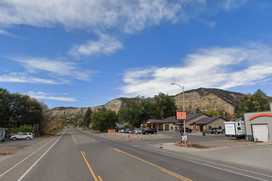
Steeper gradient hills in the Rockies
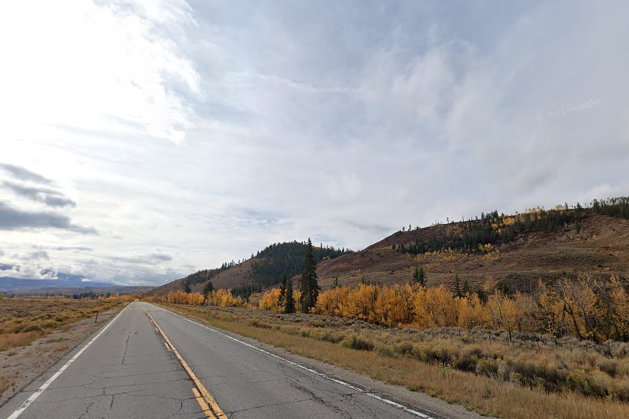
Yellow foliage can look like Alaska
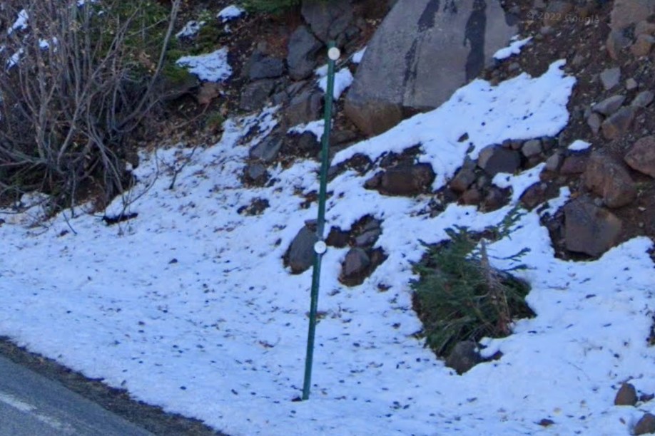
Double stacked bollards
The eastern part of the state has concrete interstate highways and circle bollards with green or brown posts.
Overpasses all have bridge markers, though sometimes it's attached to a nearby sign rather than the bridge itself.
The Denver Metro area has an express lane called "Express Toll".
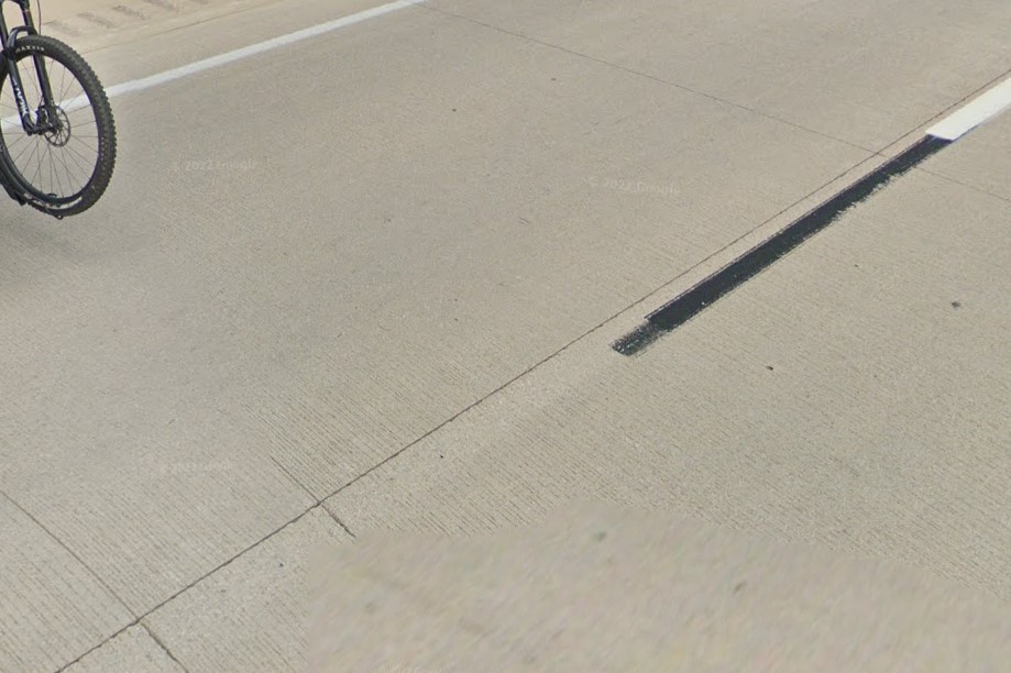
Concrete interstate highway
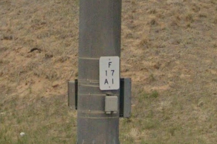
Bridge marker on Interstate overpass
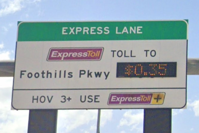
ExpressToll in Denver
The only interstate freeway through the Rocky Mtns in Colorado is I-70.
Guardrails have green and blue reflectors, and are often brown and rusted.
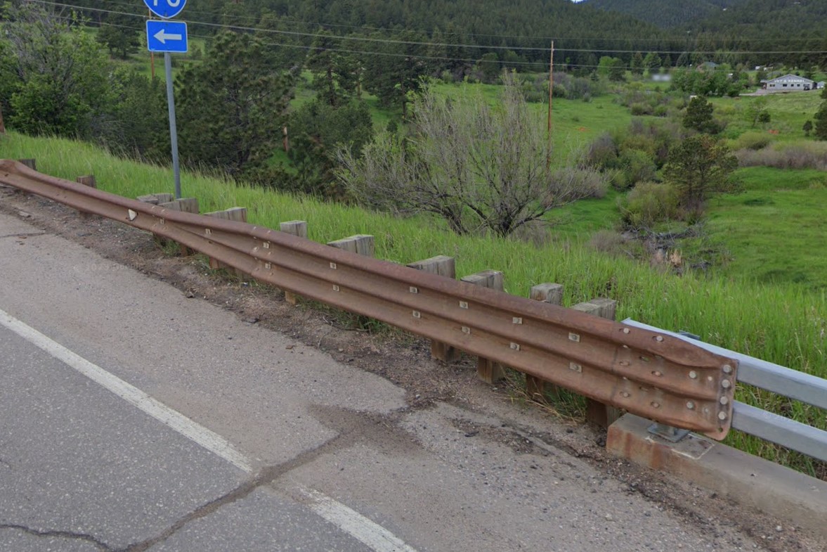
Brown rusted guardrails
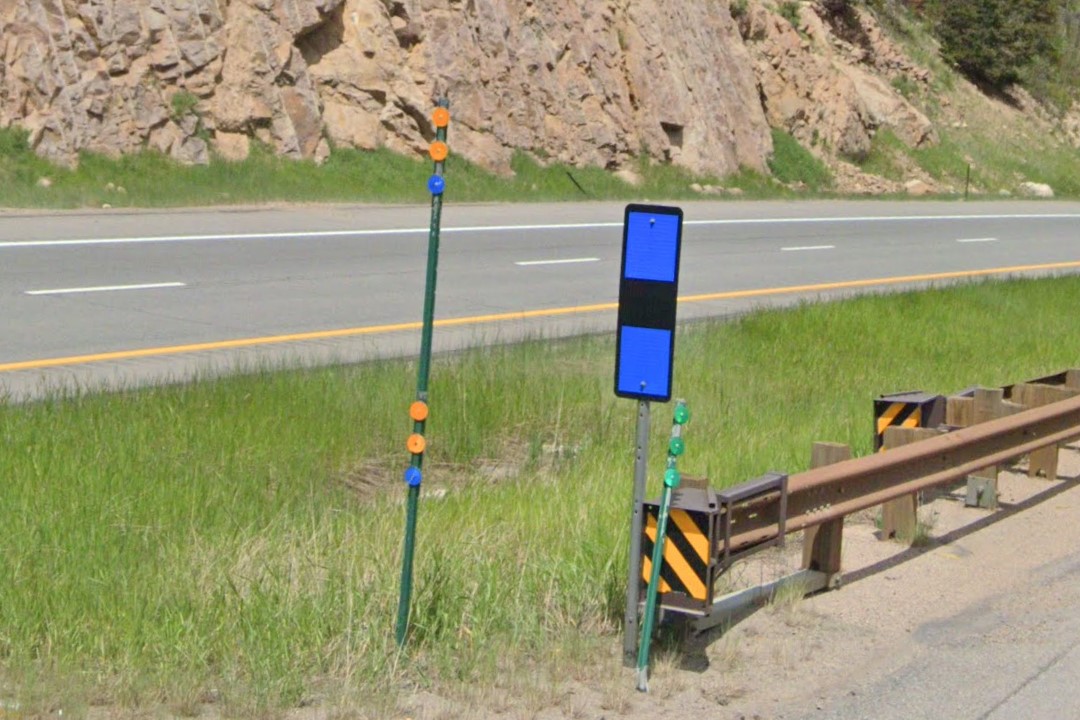
Colorado mountain bollard family reunion
Most of Colorado's urban coverage is in the
Denver metro area.
Near the city's center, the street name and address are separated by a white line. Outside the downtown area, street signs have a symbol unique to that section of the city.
See the
City Symbols page for a list of Denver-specific street sign meta.
Denver also has about 30 labeled bike routes between
Lakewood and
Aurora marked by a green oval with a "D" and a number.
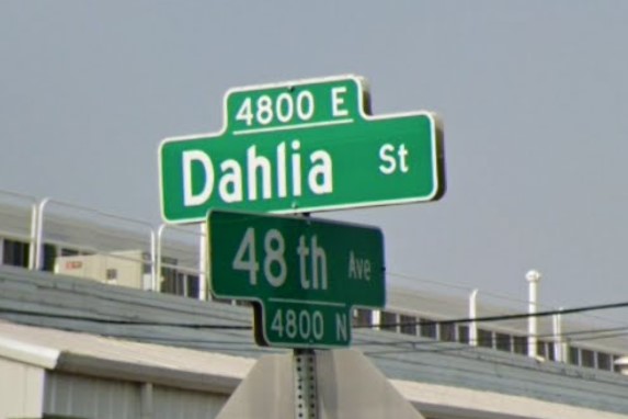
Downtown Denver street sign
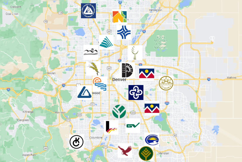
City symbol map
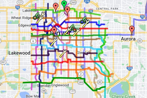
Bike route map
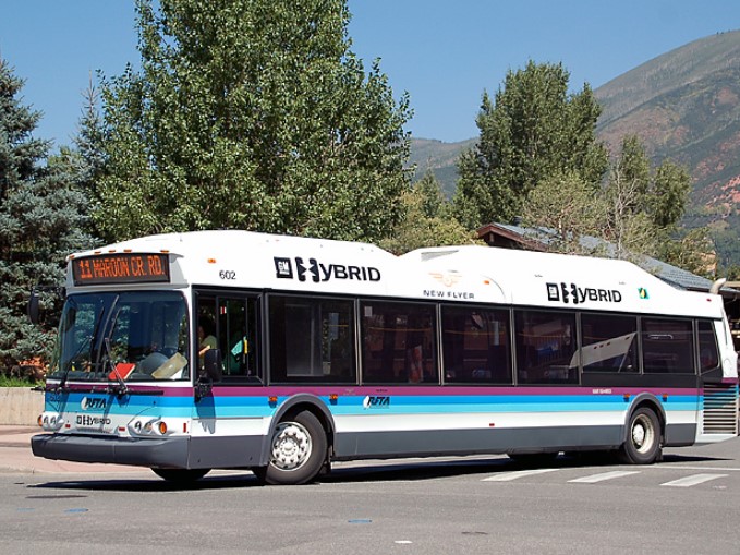
Aspen | RFTA
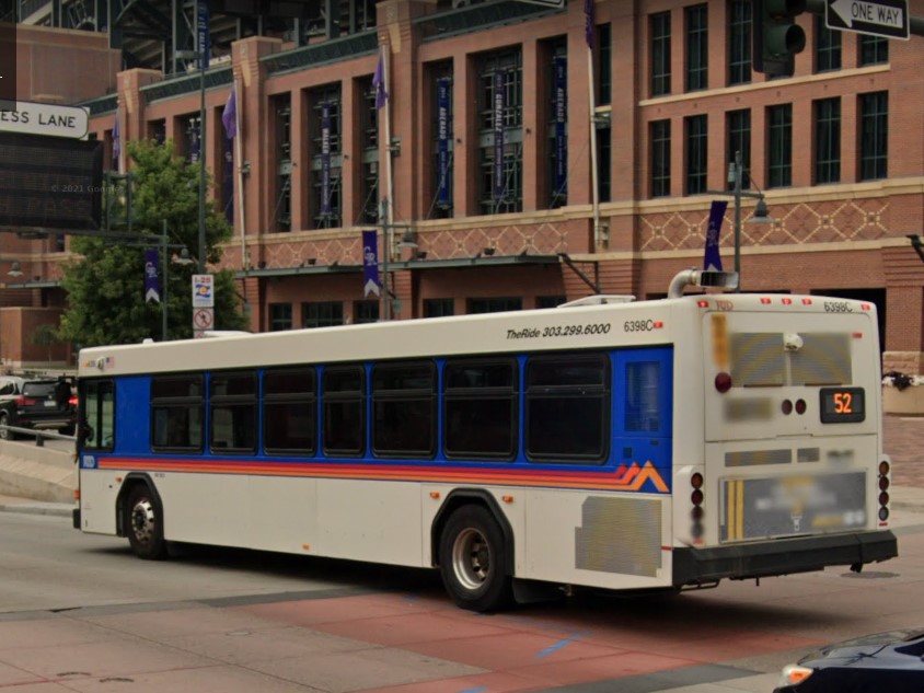
Denver | The Ride
Aspen | RFTA
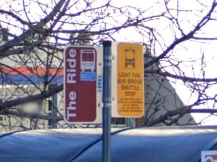
Denver | The Ride
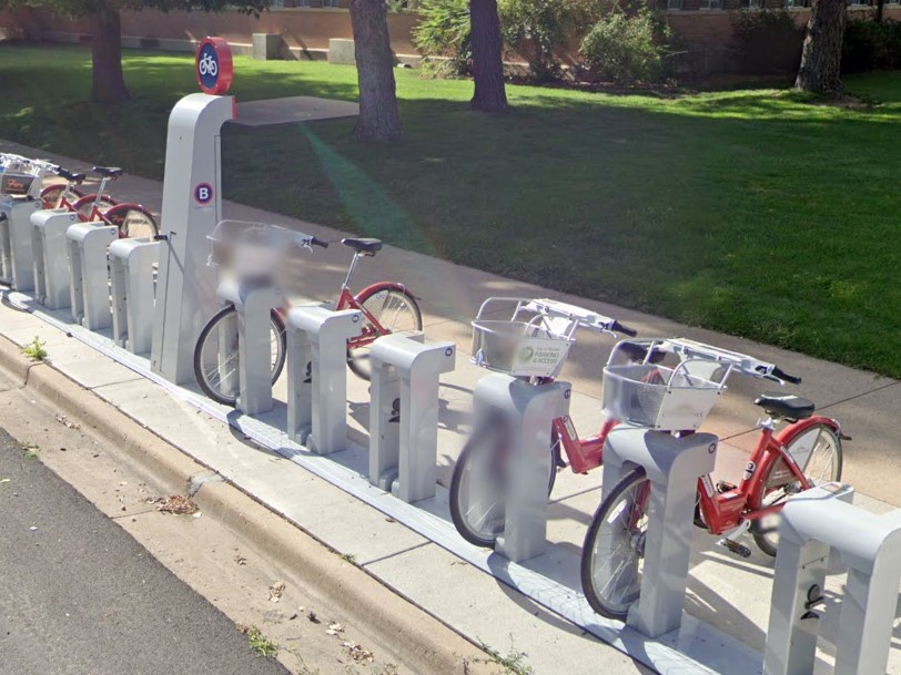
Boulder
Idaho also uses green post bollards, though they are flat plastic and the flag is a larger white rectangle.

White marker with green post, Colorado

White marker with green post, Idaho
Texas also uses yellow signposts in certain areas.

Colorado
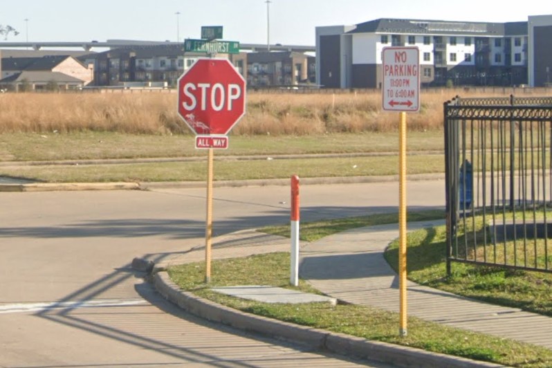
Texas
Connecticut stopped requiring vehicle registration stickers in 2010, but license plates are required on both front and back, and they all have a distinct blue pattern.
The two primary area codes are 203 for the southwestern quarter and 860 for the rest of the state.
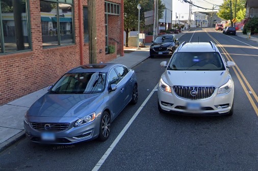
Blue license plates
203 Area Code
860 Area Code
Bridges over water are marked with a long number, usually in white on a green plate.
The name of the waterway is usually on a nearby green sign.
Bridges with concrete barriers commonly have a year stenciled into one end.
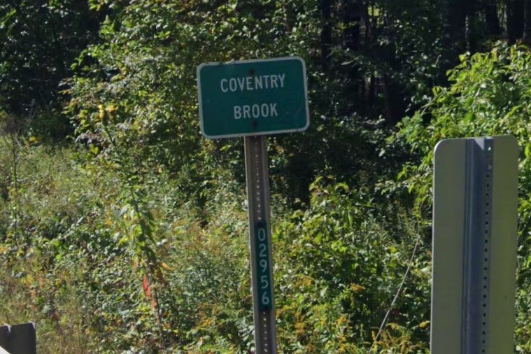
Green number and waterway name
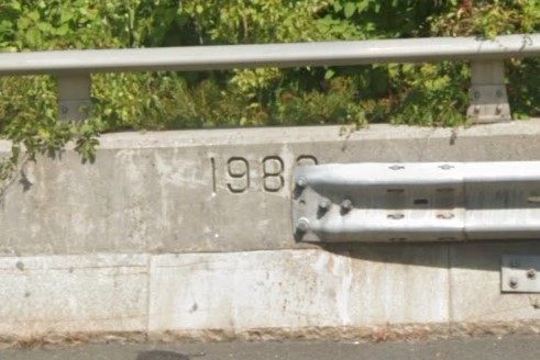
Year stenciled into barrier
Outside of the bigger cities, architecture is very similar to other New England states.
Connecticut's style is characterized by wood siding and two to three stories, each with balconies running for most of the width.
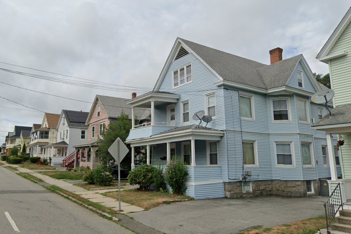
Wood siding and porch awning
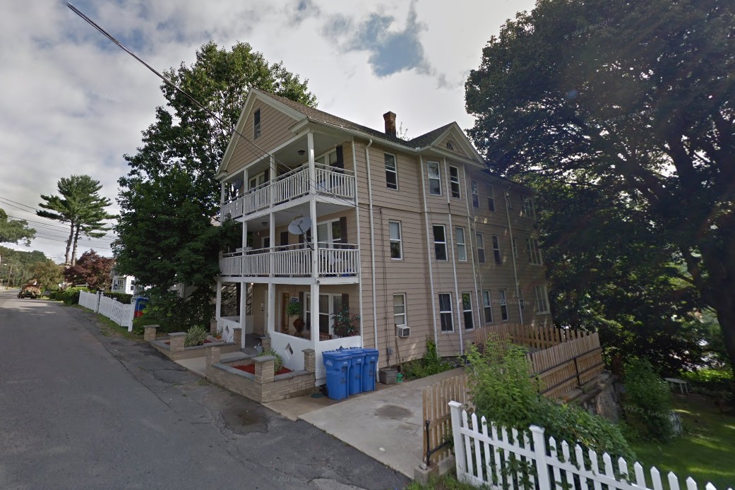
Vertical stacks and balconies
Interstates are marked with white diamond bollards, but they are often rotated and appear as squares.
Mile markers on I-395 have a directional letter, and mile markers on
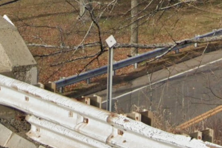
White diamond bollard
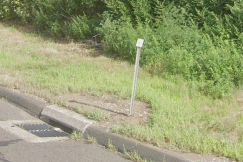
White diamond bollard (rotated)
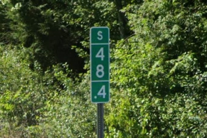
I-395, direction on mile marker
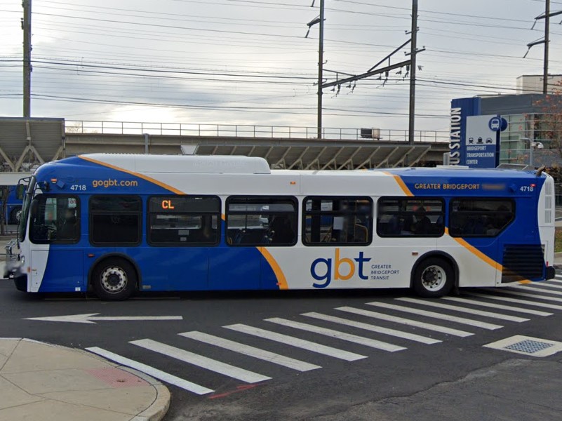
Bridgeport | GBTA
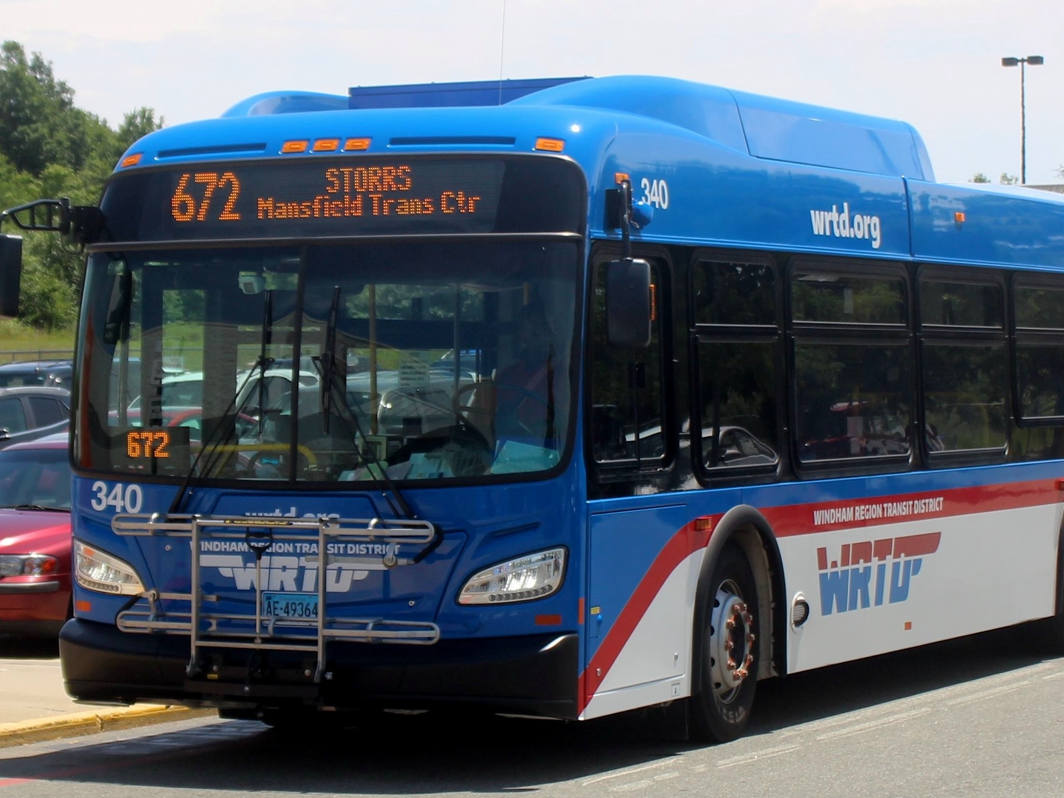
Eastern Connecticut | WRTD
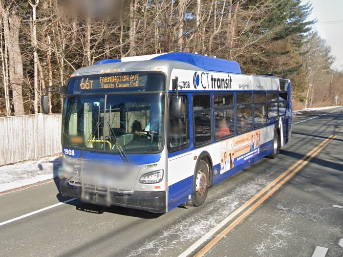
State-wide | CT transit
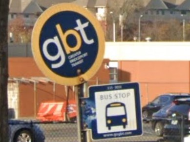
Bridgeport | GBTA
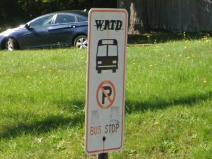
Eastern Connecticut | WRTD
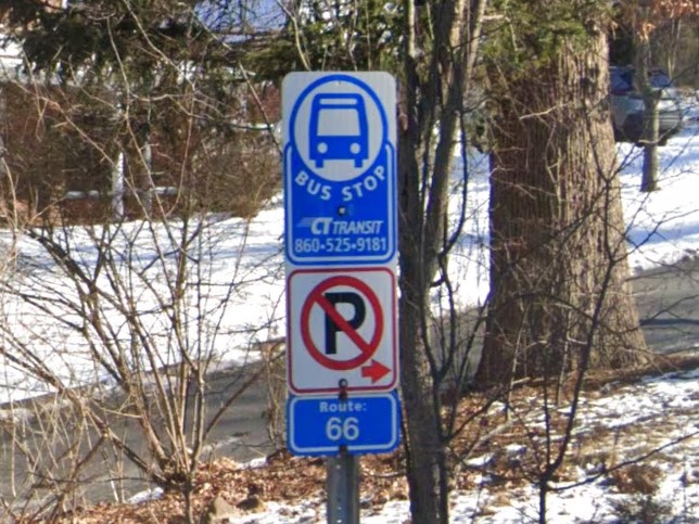
Hartford | CT transit
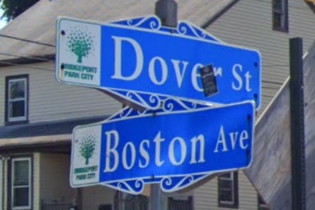
Bridgeport
Blue and white plates can be difficult to identify

Illinois

Connecticut

Kentucky
Several states use a square symbol for their state highways with varying thickness of the black border.
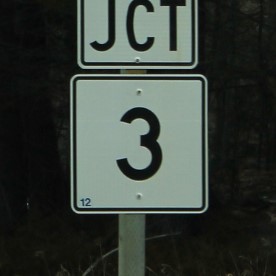
Maine
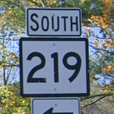
Connecticut
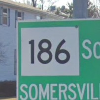
Massachusetts
Mississippi also marks bridges with white numbers on green plates.
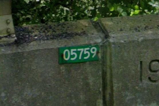
Connecticut
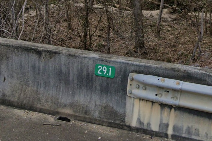
Mississippi
Vermont also puts green diamond bollards at the end of rails.
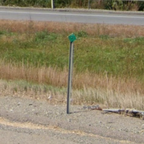
Connecticut
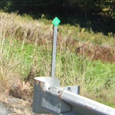
Vermont
Washington DC is a small diamond-shaped area between Maryland and Virginia.
The area is considered a single city, and it uses a unique street sign layout.
A cardinal direction appears under "ST" or "AV" that is relative to the city center.
Lettered streets run east/west, numbered streets run north/south, and streets named after US states are major diagonals.
The city is also divided into wards / zones, and the zone number is listed on parking advisory signs.
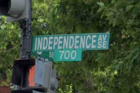
DC road sign layout
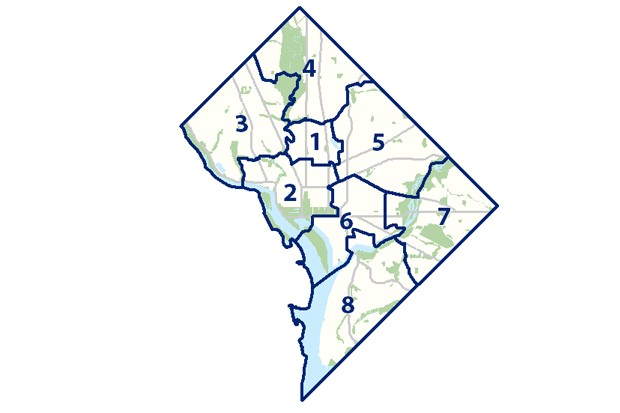
DC Zone Map
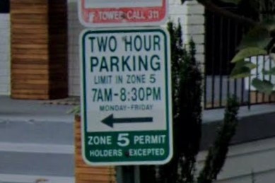
Zone number listed on parking sign
Washington, DC is characterized by closely spaced houses with compact yards often marked by short fences.
Though it uses a grid layout, it also has large roundabouts and major diagonals that create non-right angle intersections.
Street signs close to the city center display the city's flag, three red stars over two red stripes.
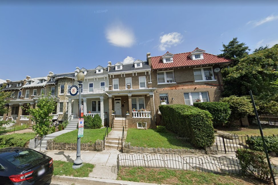
Closely spaced housing / compact yards
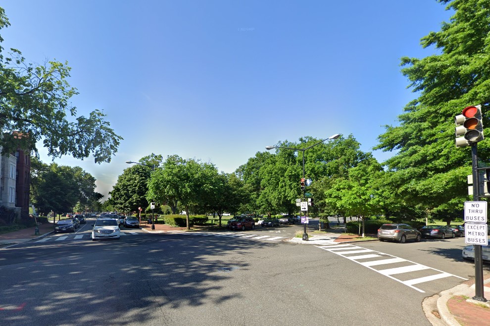
Non-right angle intersection
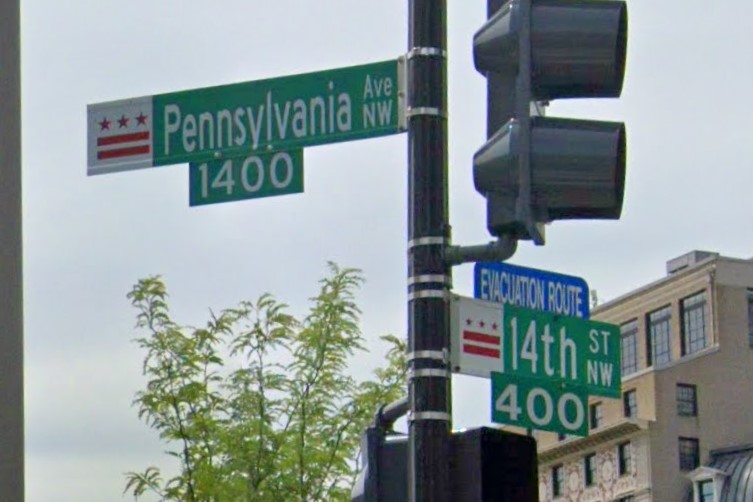
City symbol
Although the city contains a somewhat equal mix of vehicles registered in Virginia, Maryland, and DC, vehicles registered in DC are required to display a large blue and silver sticker.
Taxis and public transit use a red/grey color scheme and vehicles registered in DC display a large sparkly sticker in the windshield.
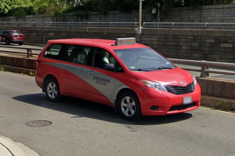
Red / Grey taxi
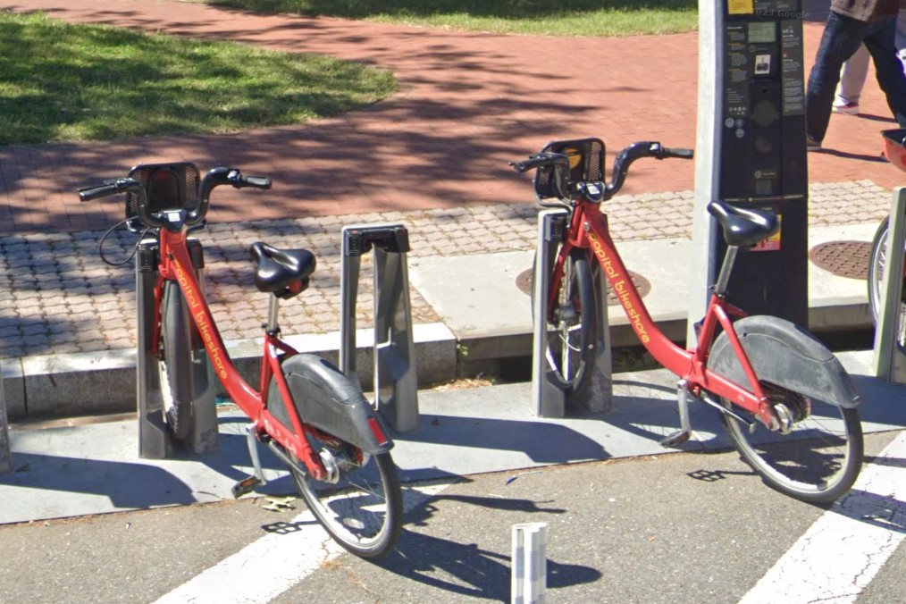
DC bikeshare
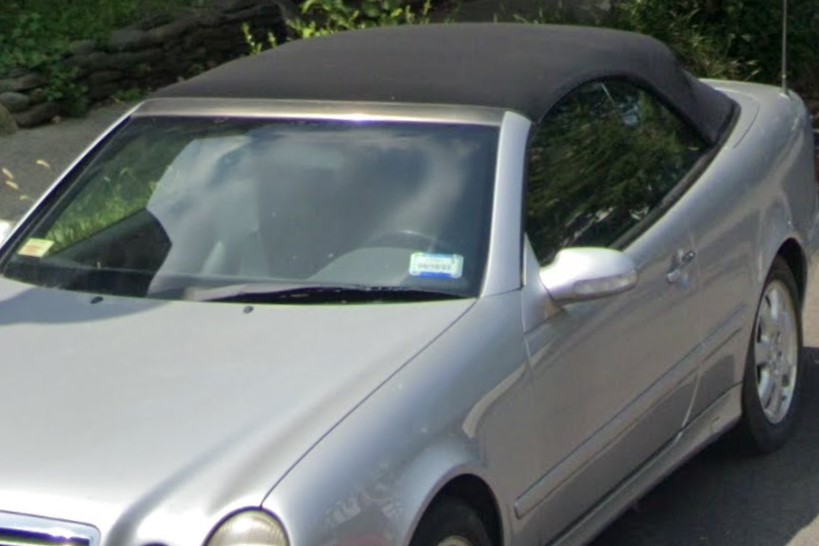
DC registration sticker
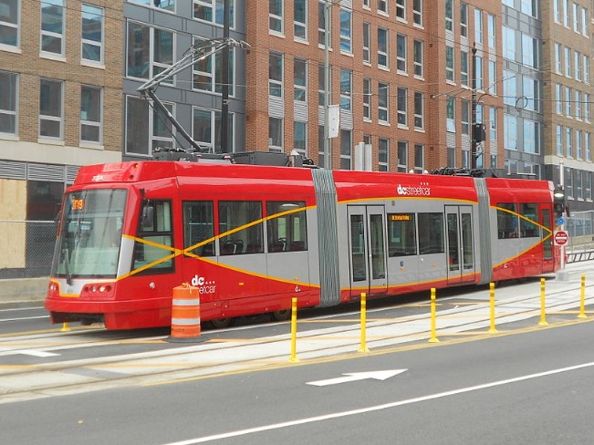
DC Streetcar
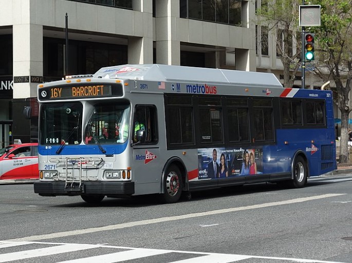
Metrobus
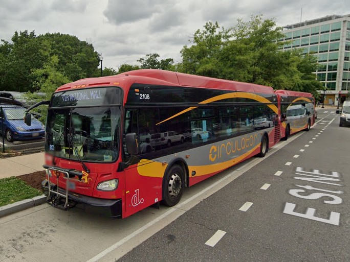
Circulator
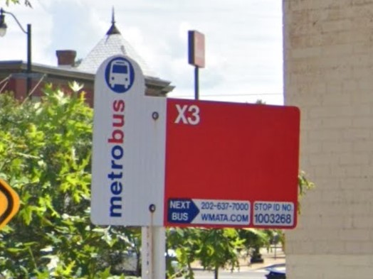
Metrobus sign
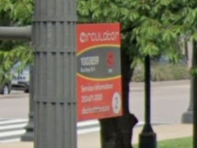
Circulator sign
Thanks to Benji for pointing out the cardinal directions in street signs and how to use them for region guessing.
Delaware uses the state-wide area code 302 and issues a black and gold license plate.
Public transit vehicles and signs are also consistent across the state, all using the acronym DART for "Delaware Area Regional Transit", but it is also the acronym for both
Dallas and
Des Moines area transit.

302 Area Code
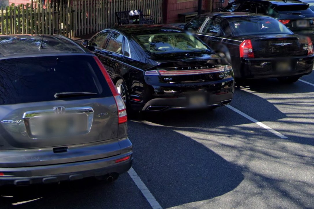
Black & gold license plate
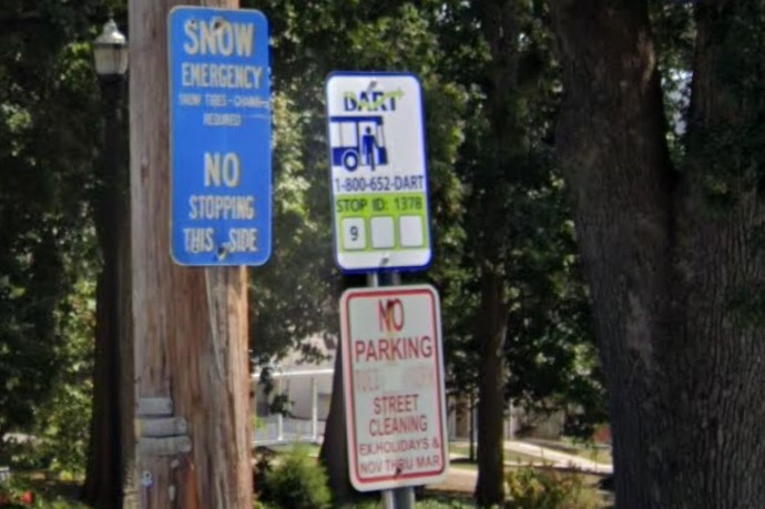
DART buses and signs
Half of Delaware is wheat and corn fields, and the other half gives off a combination of midwestern and coastal New England vibes.
It is common to find newer architecture styles among or built on top of older brick and stone architecture.
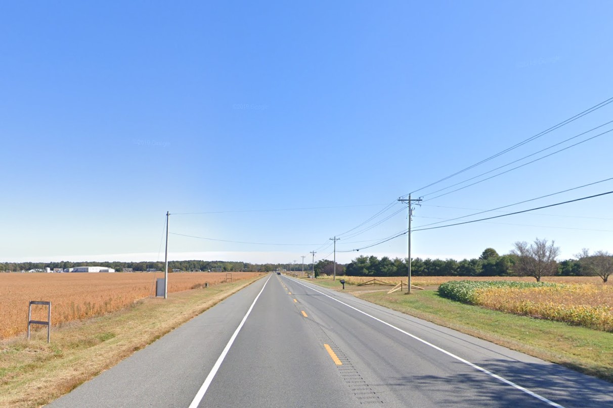
Corn and wheat fields
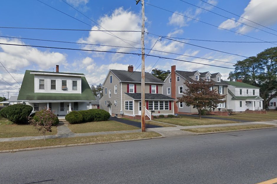
New England style wood siding
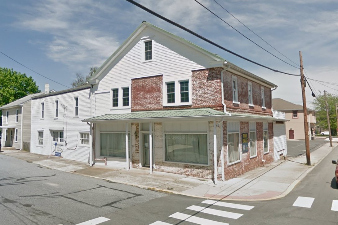
Old brick and stone architecture
An unusually high amount of signs use a blue and gold color scheme, including highway adoption, snow emergency, and historical markers.
Delaware's state emblem- a man riding a horse- also shows up frequently, notably on town and city limit signs.
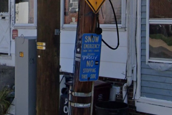
Snow Emergency Route
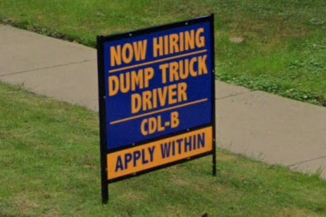
Blue / gold combination on signs
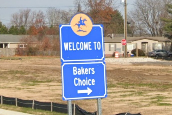
Man on horse (state's emblem)
Delaware marks state highways with a circle, but so do nearby New Jersey and Virginia.
T-intersections tend to have red diamond warnings, but they are also used in the adjacent parts of Maryland.
WSFS bank is local, but also serves areas of Pennsylvania and New Jersey.
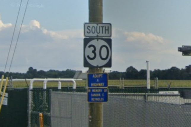
State highway symbol
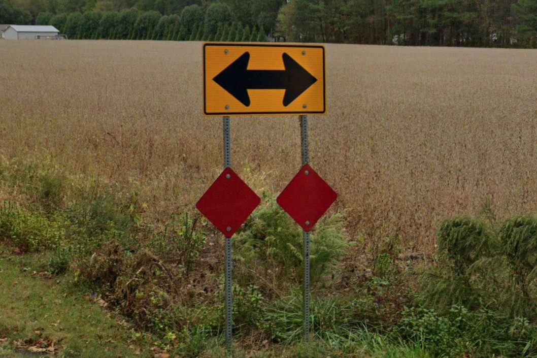
Red diamonds at T-intersections
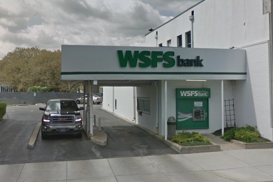
WSFS bank
Delaware has a set of state-specific rules for road signs, including the unique layout of fire station signals and the text "except left turns" on certain road signs.
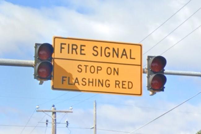
Fire signal sign by Fire Departments
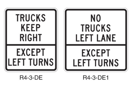
"Except Left Turns" partition on signs
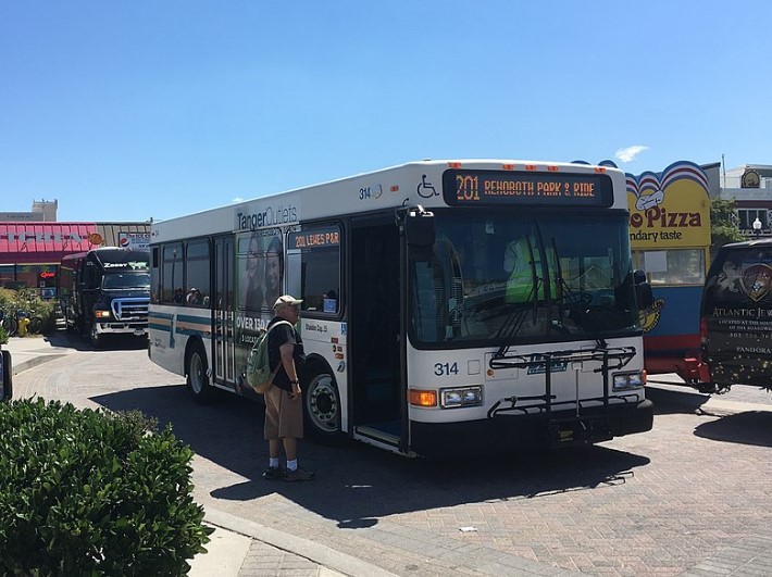
State-wide | DART
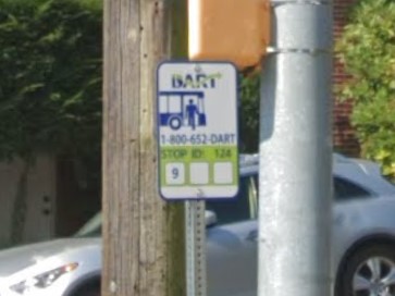
state-wide | DART
Delaware is one of several states that uses a circle to mark state highways.
Delaware
Iowa
Kentucky
Mississippi
New Jersey
Virginia
The standard license plate has an orange splotch in the middle, very similar to those in neighboring Georgia.
The blue turtle and orange dolphin designs are also somewhat popular, even though they aren't the standard.
Standard orange splotch plate

Georgia license plate

Blue turtle plate
The stereotypical Florida is palm trees and beaches, but in reality, Florida is dominated by loblolly pine forests and sandy soil.
Bollard usage isn't consistent across the southeast, but Florida and Louisiana are the only southeast states that mark drainage with a yellow bollard.
However, vehicles registered in Louisiana have windshield stickers, while those registered in Florida do not.
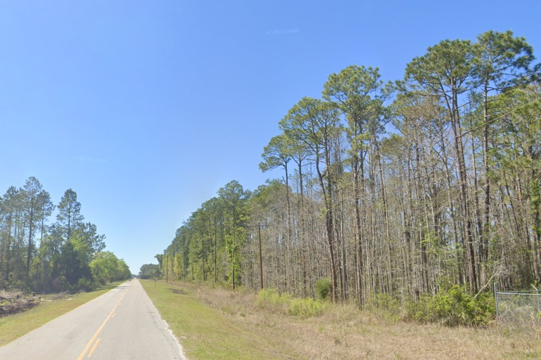
Loblolly pines
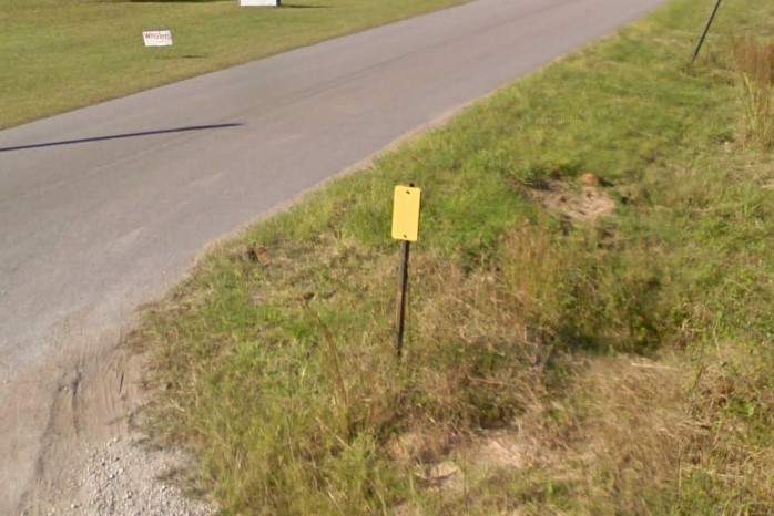
Yellow bollard marking drainage
Northern Florida shifts abruptly from the pine forests of southern Georgia to the swampy mix of palmettos, cabbage palms, and oaks with spanish moss.
In general, north Florida has much more open area and farmland than southern Georgia, and has an unusually high concentration of horse trailers.
I-10 runs east to west from Jacksonville through Pensacola, so any sign in florida indicating I-10 nearby is in the north.
The entire panhandle is covered by the area code 850, from the western border to just east of Tallahassee.
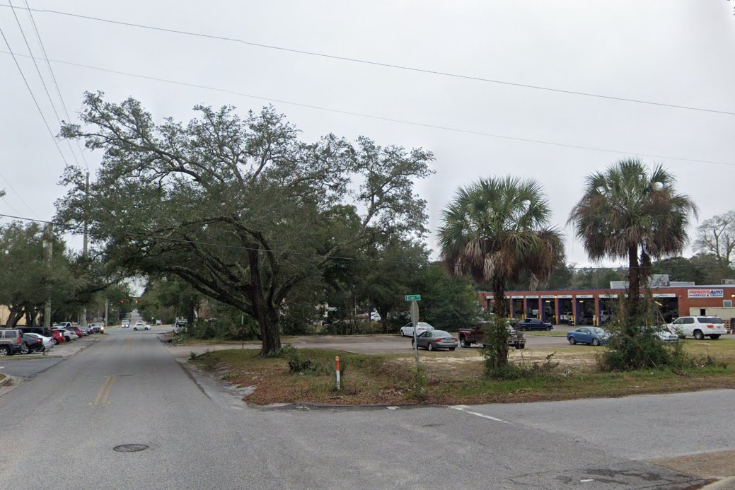
Cabbage palms and oaks
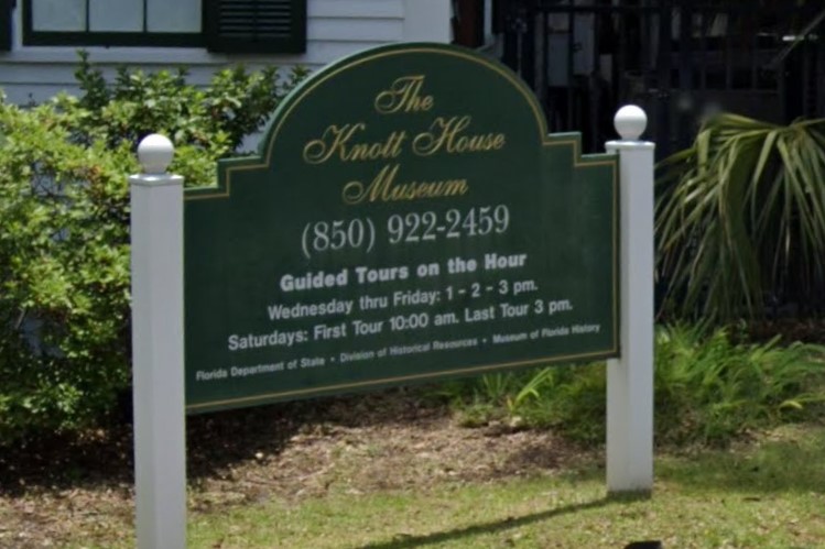
850 Area Code
Florida's capital has relatively good bicycle infrastructure marked by green stripes.
Downtown, traffic signals are horizontal and many have a yellow border.
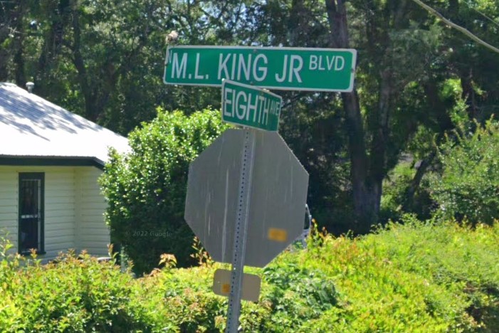
Outside the city and in nearby suburbs, street signs have a thick white border and stop signs have a yellow sticker and a red reflector on the post.
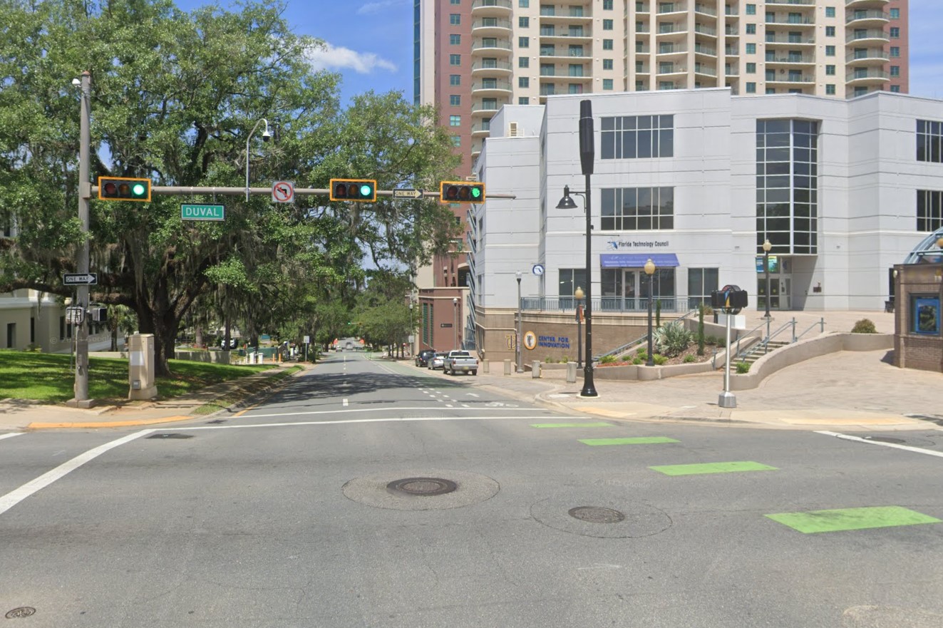
Bike lane and horizontal traffic signal
Street sign layout and yellow sticker
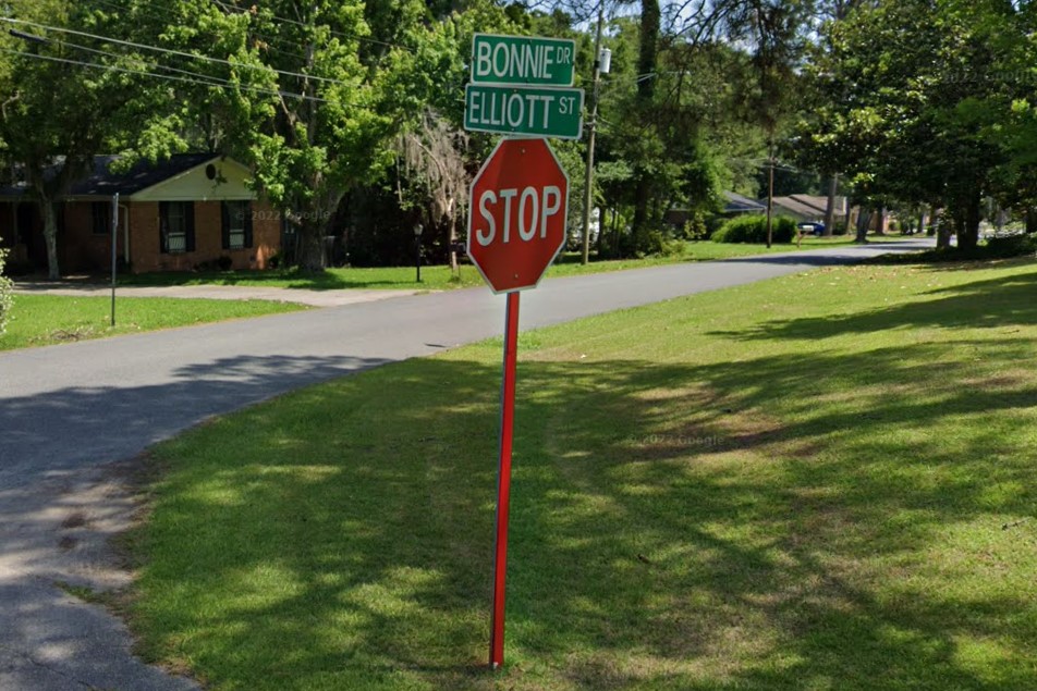
Red reflector on stop sign post
Central Florida runs from Jacksonville down to Orlando and Tampa.
Endless suburban mazes run down the eastern coast, but the middle is largely flat farmland.
With the exception of Tallahassee, all of Florida's street signs with symbols are found in central Florida.
Many of these counties also run penny sales tax campaigns, marking relevant roads under construction with a green sign and image of a penny.
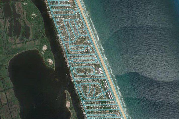
Suburban maze
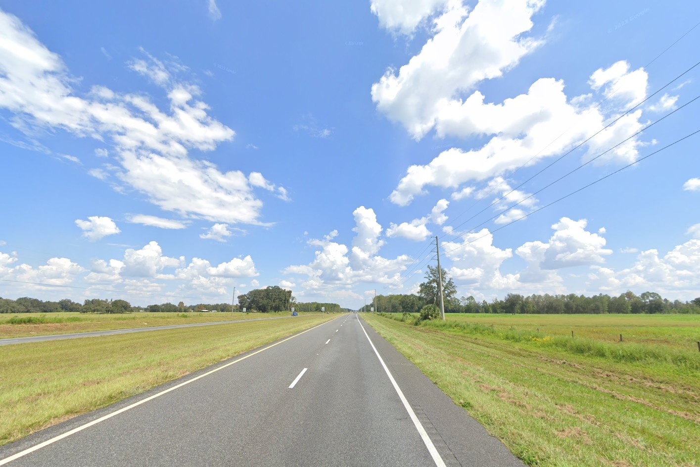
Central farmlands
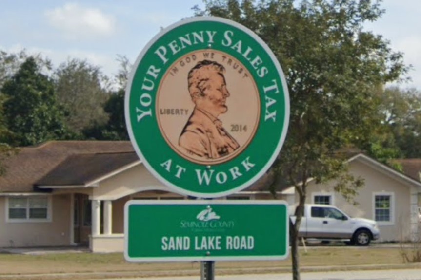
Penny Tax road sign
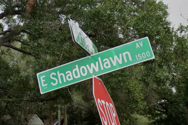
In Gainesville, street signs list a cardinal direction, then street number, then suffix.
If the road has a common or coloquial name, it may be listed at the bottom, but the street number takes priority.
This holds true even in suburbs and R1 communities.
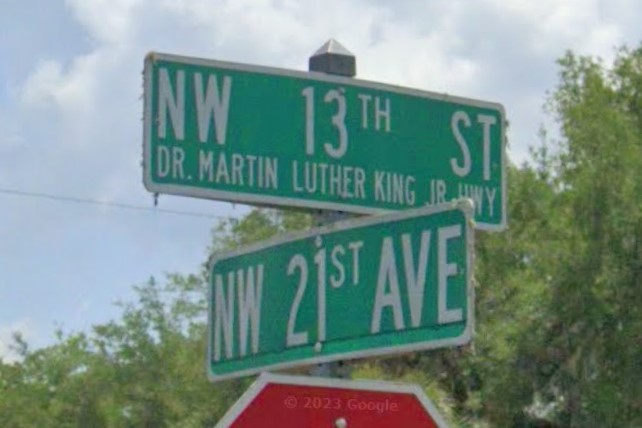
Gainesville street sign
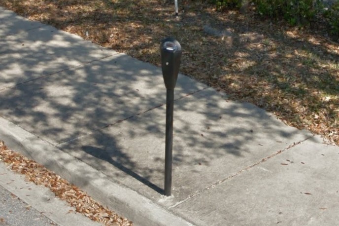
Black parking meters
Marion County is in the space between Gainesville and Orlando, centered around
Ocala.
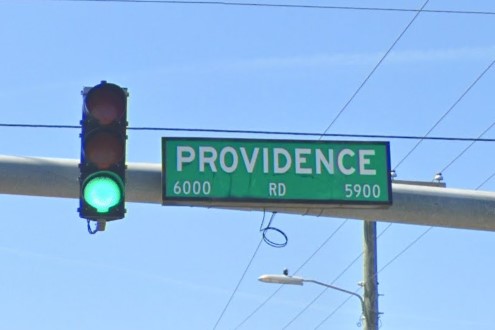
Many roads covered here are unpaved sand paths, but the entire county is laid out in a grid pattern with an identifyable street sign font and format.
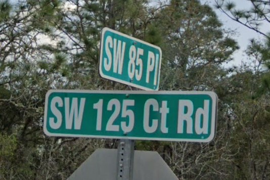
Marion County street sign
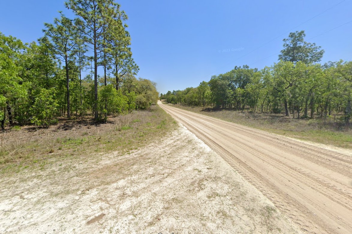
Marion County roads
Tampa and St. Petersburg are on opposite sides of Tampa Bay.
Street signs in both cities tend to have small numbers in either one or both bottom corners.
If the street sign has a cardinal direction, you can tell which side of the bay you are on based on which side of the sign it's on.
If the cardinal direction is placed left of the number, you're on the right side of the bay.
If the cardinal direction is placed right of the number, you're on the left side of the bay.
Small numbers in lower corners
Letter on the left, Tampa
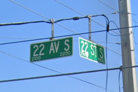
Letter on the right, St. Petersburg
Most of the sub-towns that make up the Orlando metro area have a unique city symbol they post on street signs.
Check the City Symbols page for more information.
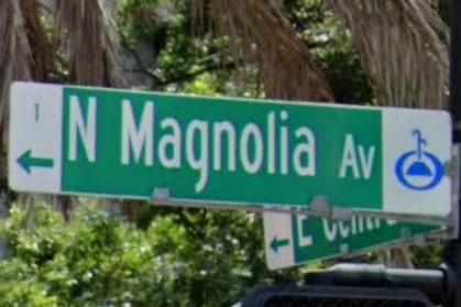
Orlando symbol
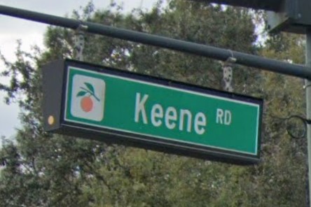
Alternative Orlando symbol
Southern Florida looks like the stereotypical tropical vista usually associated with this state.
Inland is still grasslands and farms, but cabbage palms are more dominant than pines.
Panther Crossing signs and Night Speed Limit signs can both be found near the Everglades.
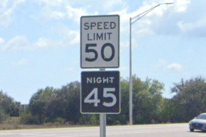
Night Speed Limit
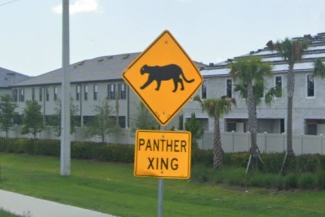
Panther Crossing sign
Residential areas near Miami have white marks on the street signs and are generally laid out in grids.
Many road signs in Miami have diamond stickers of various colors, depending on coverage year.
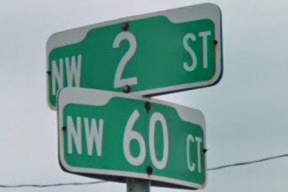
White marks on street signs
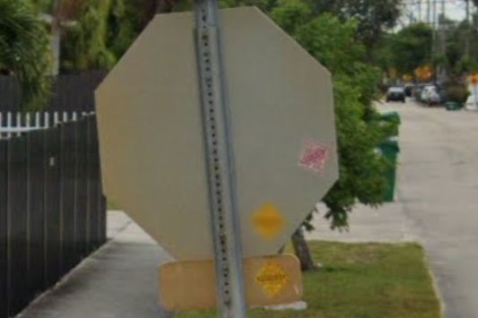
Diamond stickers behind signs
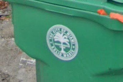
Palm tree symbol on trash bins
Interstates in Florida can vary from county to county, but there are certain features you can look for.
Drainage marked with yellow bollards and offramps lined with white bollards are common, but not required in Florida.
Though inconsistent, most river crossings are marked in green.
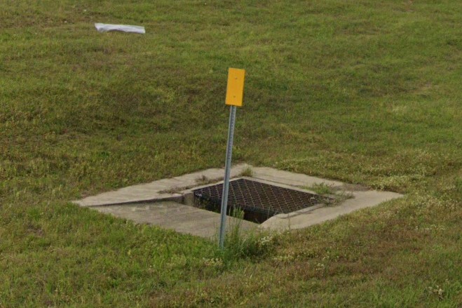
Yellow bollards marking drainage
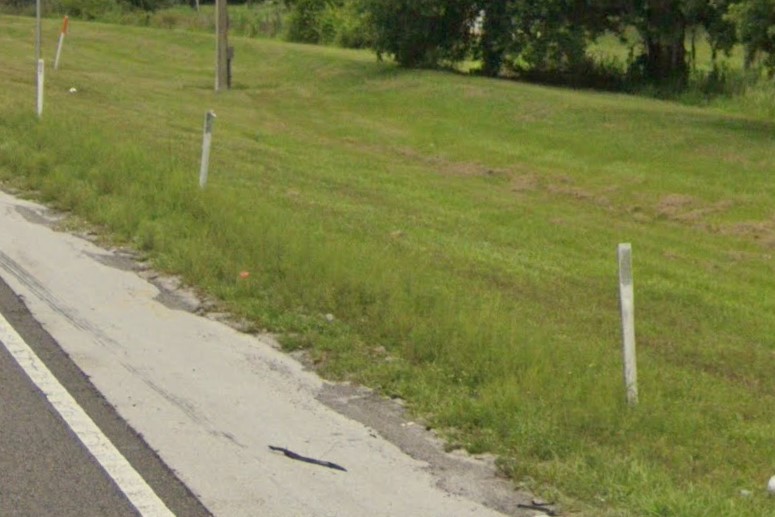
White bollards on offramps
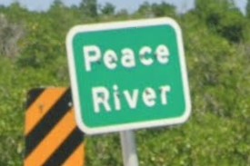
River crossing sign
Mile markers on I-75 will have an interstate shield and those on Florida's Turnpike have its logo, but other mile markers just list the distance.
Many offramps have a notice about the local litter law, especially closer to the larger cities.
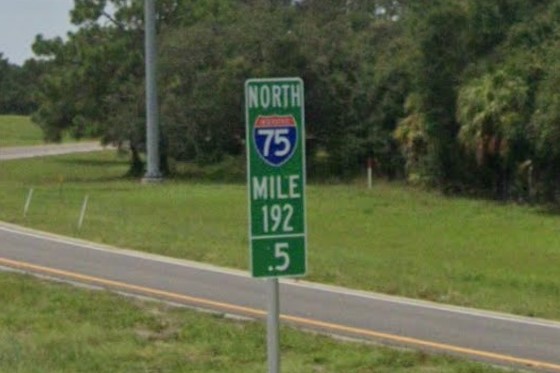
I-75 mile marker
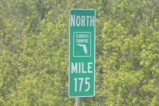
Florida's Turnpike mile marker
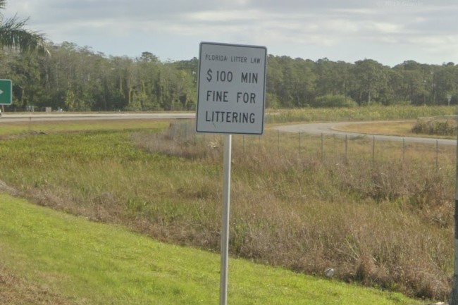
Litter law sign
Florida uses several different toll passes.
LeeWay is just for the
Fort Myers area and E-Pass is just for the
Orlando area.
Sun Pass is used state-wide in Florida, but also appears rarely in
Georgia and
North Carolina.
When it does appear outside the state, it will be one of many accepted passes, and it won't be at the top of the list.
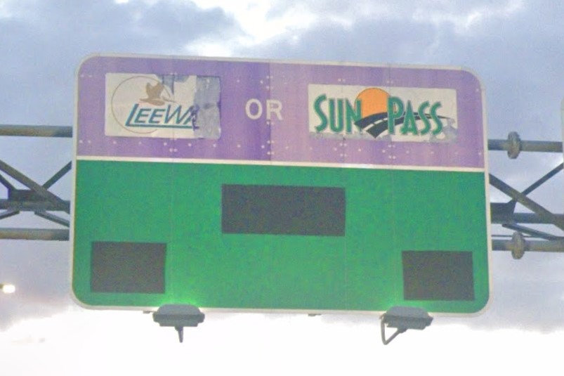
Lee Way and Sun Pass
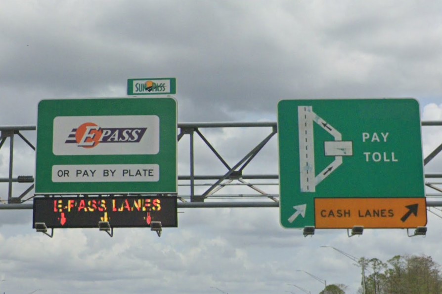
E-Pass
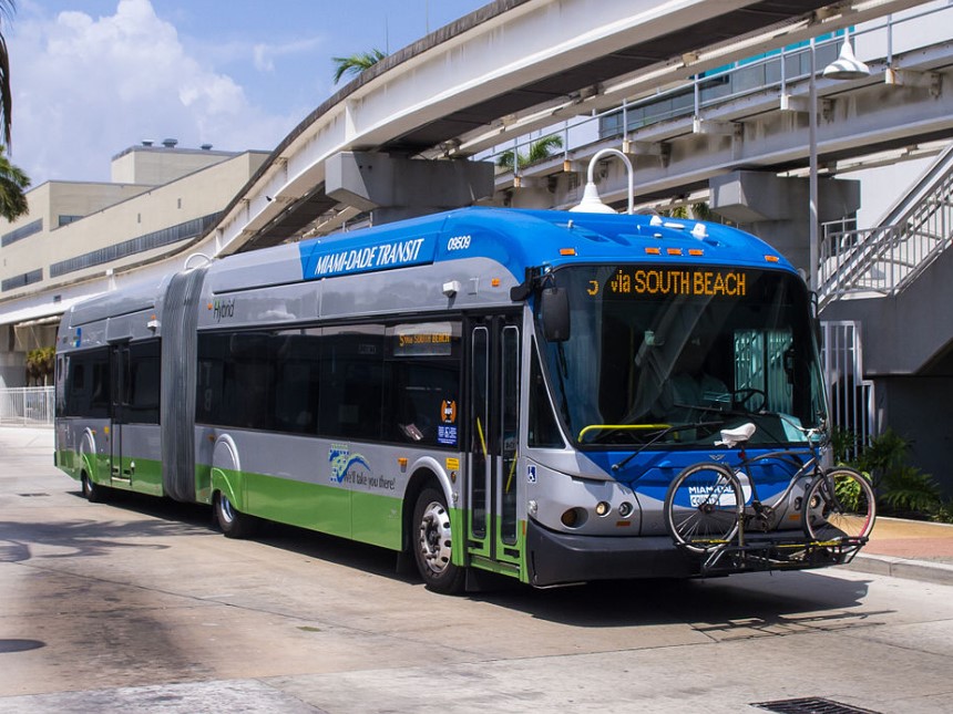
Miami | Miami-Dade Transit
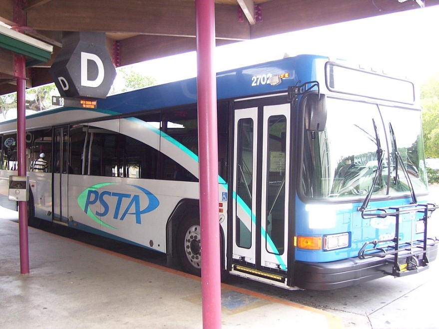
St. Petersburg | PSTA
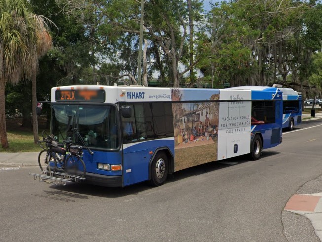
Tampa | HART
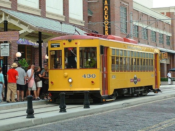
Tampa | TECO
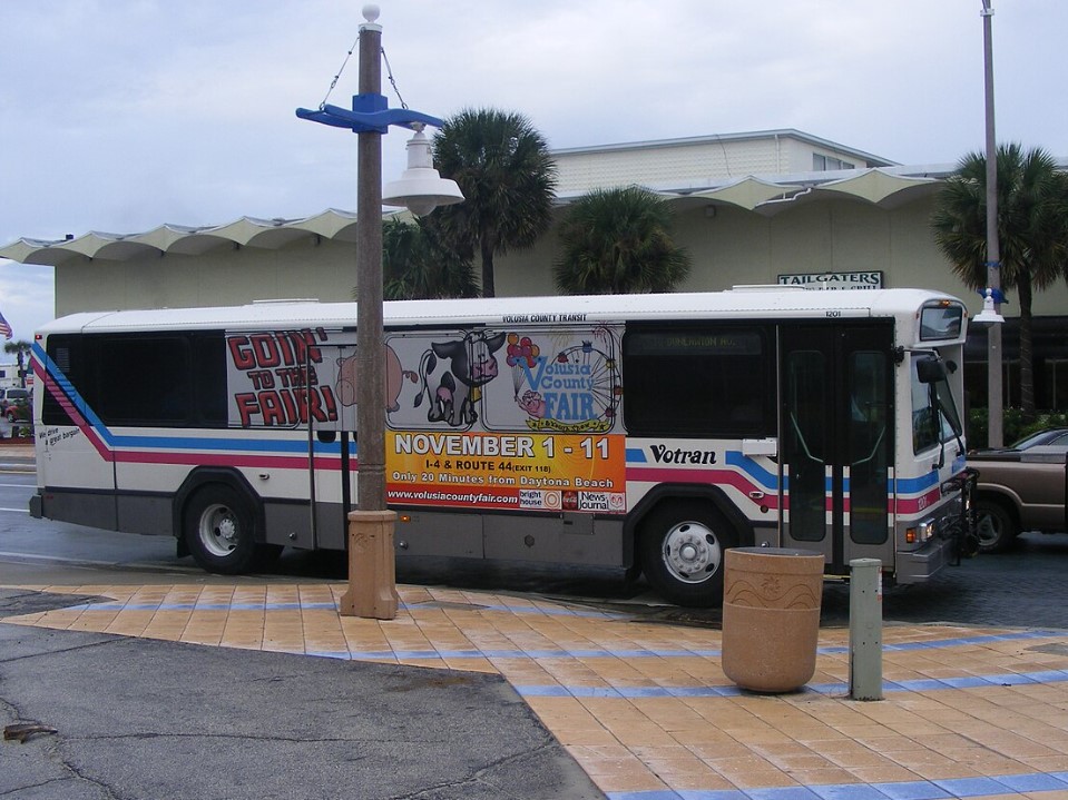
Volusia Co | Votran
Miami | Miami-Dade Transit
Orlando | LYNX
St. Petersburg | PSTA
Tampa | HART
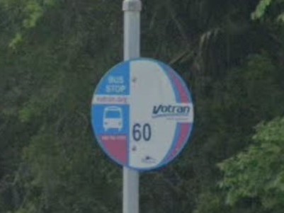
Volusia County | Votran
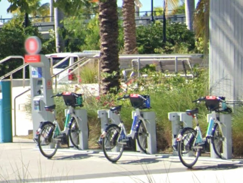
Fort Lauderdale
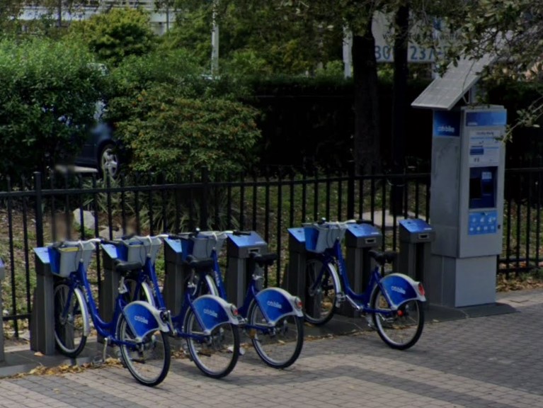
Miami Beach
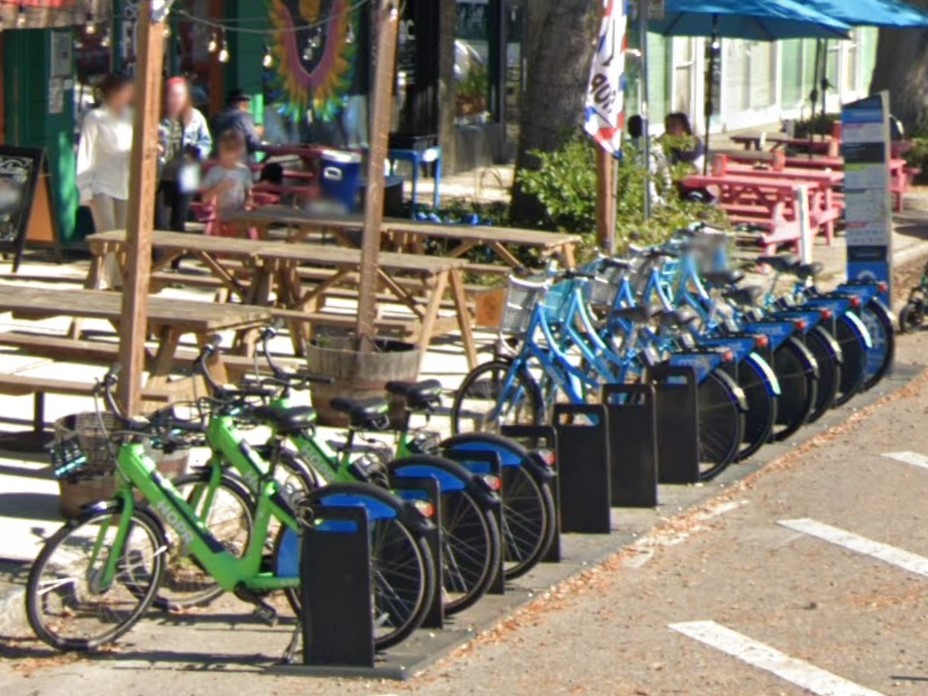
St. Petersburg
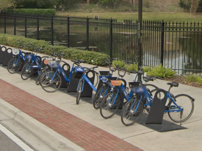
Tampa
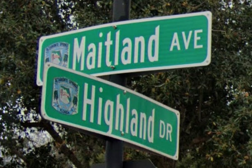
Altamonte Springs

Orlando
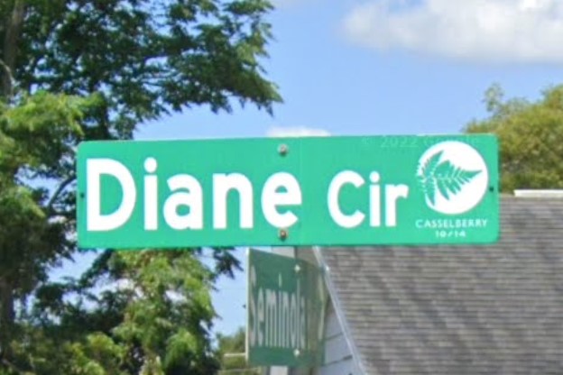
Casselberry
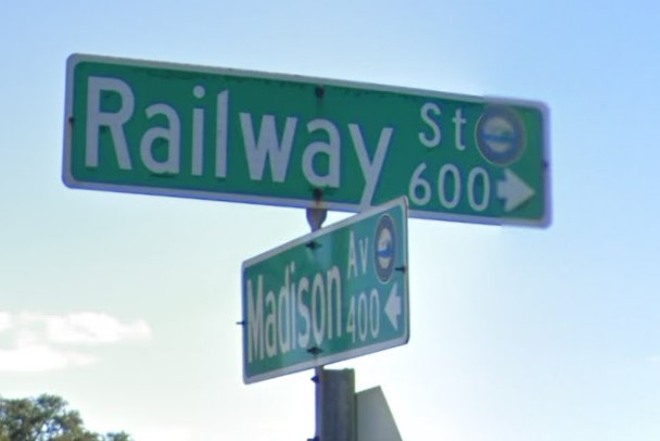
Daytona Beach
Longwood
Melbourne
Sanford

Orlando
Tallahassee
Louisiana and South Dakota also marks drainage with a yellow bollard.
Windshield stickers on vehicles registered in Louisiana can help you decide which state you are in.

Florida
Louisiana
South Dakota
Both Georgia and Florida have standard white plates with an orange splotch in the middle.
The letters on a Florida plate give it more of a green hue, while the Georgia plate looks more white or grey.

Florida

Georgia
Parts of Florida can look similar to southern California with the coastal palm trees and general architecture.
Mountains in southern California can tell you you're not in Florida since the highest terrain they have is sand dunes.
Both states have white-ish plates, but California requires fronts while Florida does not.
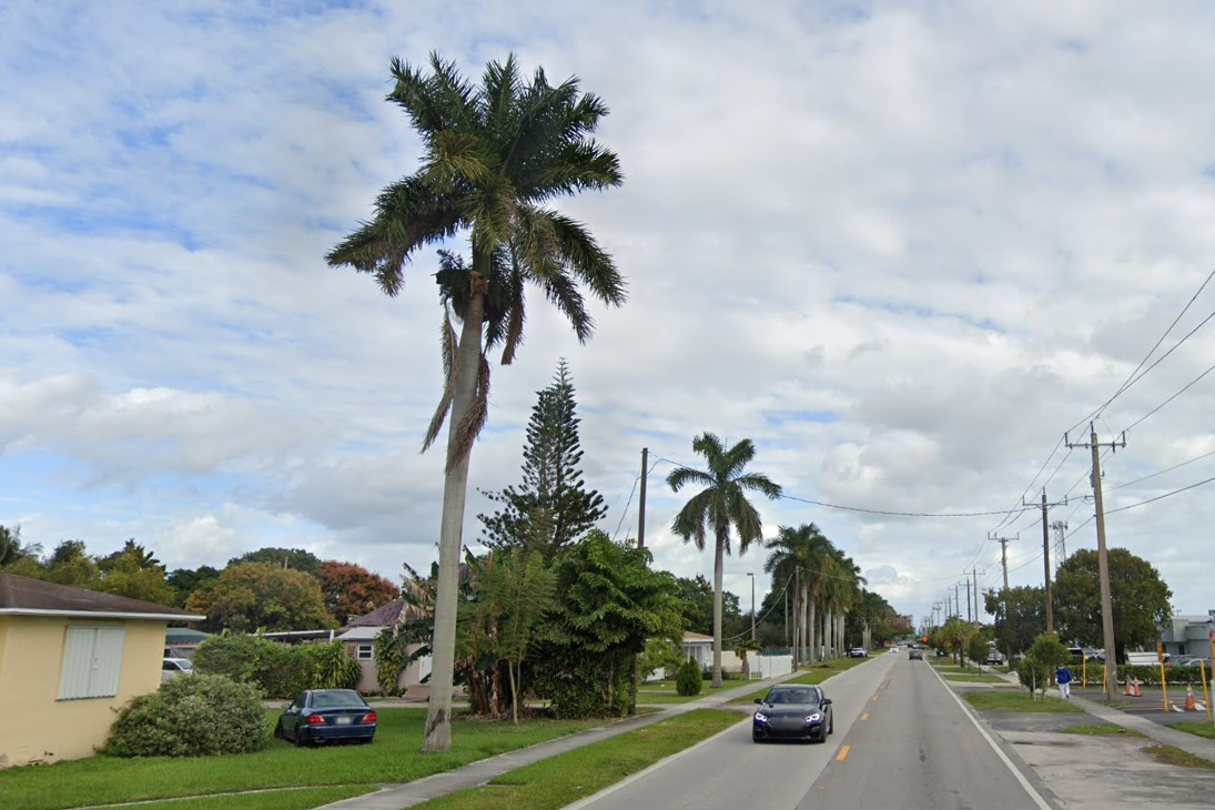
Florida
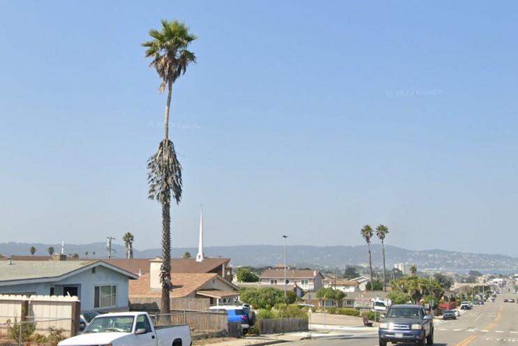
California
Thanks to 5ummr for the city symbol submissions and for fact-checking the Florida page.
In the north, the Appalachians create rolling hills and forests are dominated by deciduous trees.
Southern Georgia is dominated by pine forests with little to no low level greenery.
The soil is red in the north, becoming sand toward the eastern coastal regions.
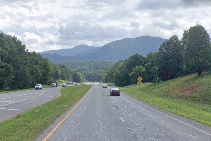
Appalachians and red soil, north GA
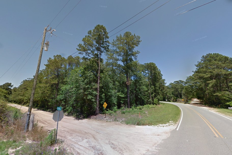
Pine trees and sandy soil, south GA
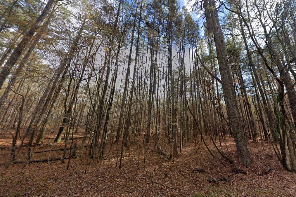
Pine forests with no greenery
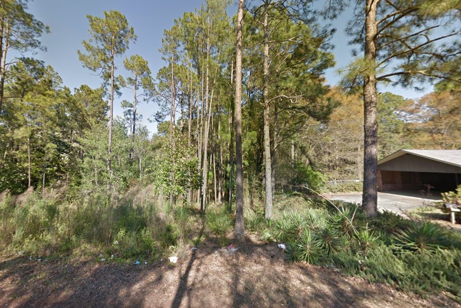
Pine forest with little low-level greenery
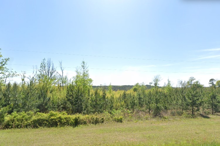
Man-made pine forest, south GA
Brick architecture is common across the state, especially when combined with wood siding.
Piles of orange pine needles at the base of trees is a strong Georgia vibe.
The
Atlanta suburbs have many R1 communities consisting of prominent two and three story houses with brick / wood panel in a deciduous / pine mixed forest.
However, this same combination is also common in
Memphis, TN.
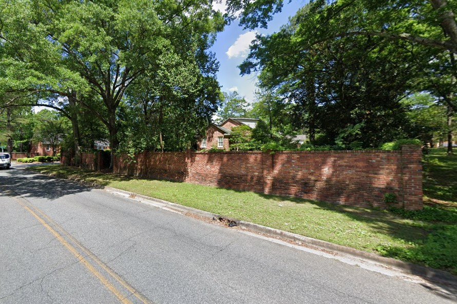
Brick architecture
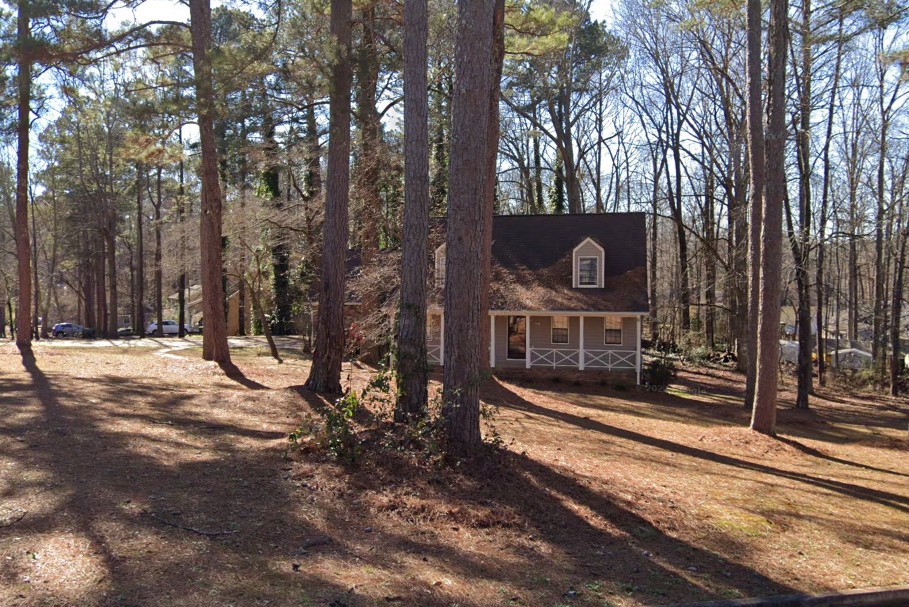
Orange yards and pine needle piles
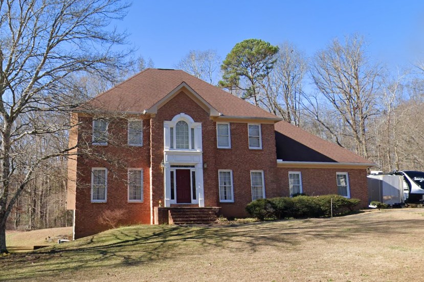
Large houses and pines outside Atlanta
Several southeastern counties label county roads with the colloquial name on the left and the road number in smaller font on the right.
Jefferson County displays the county road numbers on the reverse side of stop signs at major intersections.
Southeast of Atlanta,
Newton County marks the back of signs with stenciled letters, but it's worn off of many signs.
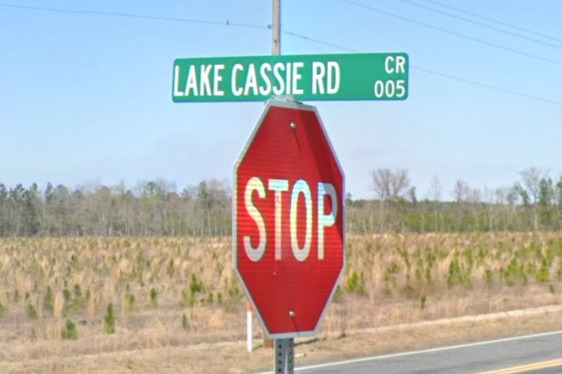
Road name (left) and number (right)
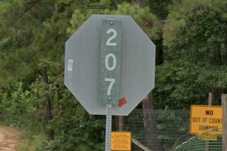
Jefferson County
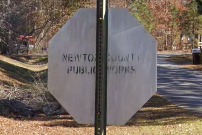
Newton County
Interstate highways are centered around Atlanta, branching outward toward the state lines.
Peach Pass Express Lanes appear near the metro area.
Bollard usage isn't consistent, but red and black "No Parking" signs are commonly found on offramps.
Offramp arrows are made up of two separate pieces, with the arrow point flattened out.
Mississippi doesn't use offramp arrows and Alabama uses a single, pointed arrow.
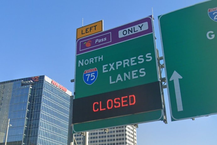
Peach Pass
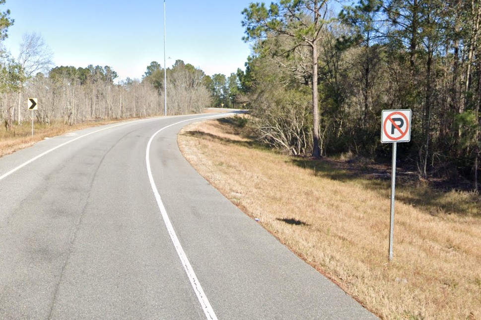
Offramp "No Parking" sign

Georgia offramp arrow
Atlanta is the biggest metro area in Georgia and home to both Emory and Georgia State University.
Fire hydrants are silver and street signs include a cardinal direction relative to the center of the city.
Public transit and bikeshares all use a blue and green theme.
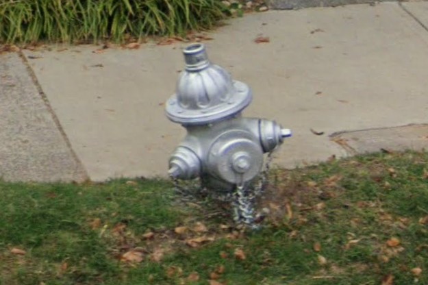
Silver fire hydrants
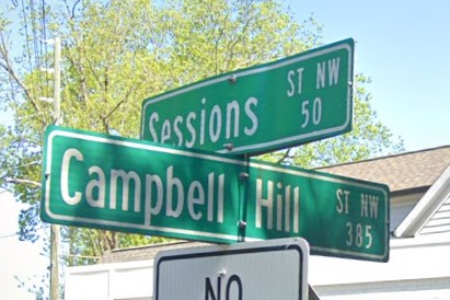
Street sign with cardinal direction
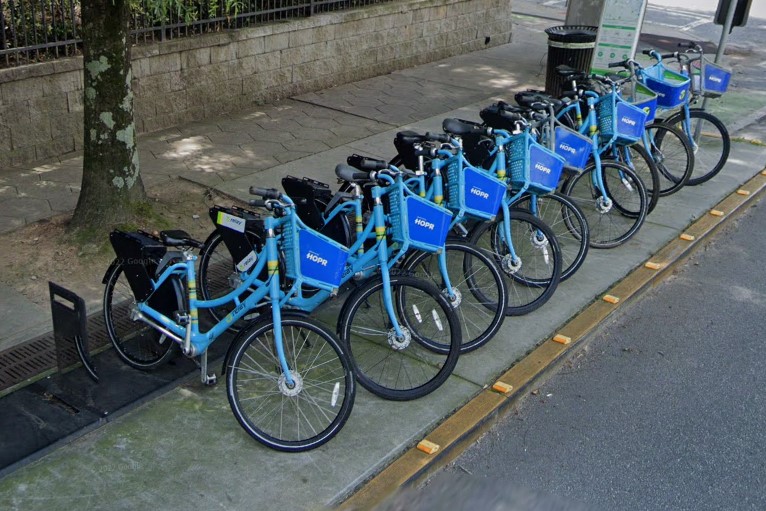
Atlanta bikeshare
Atlanta public transit and bikeshare all use a blue and green theme.
Bus stops are marked with an orange yellow and blue stripe.
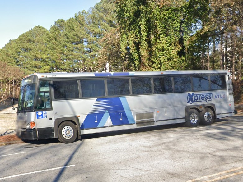
Xpress bus
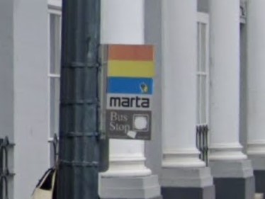
Marta bus stop
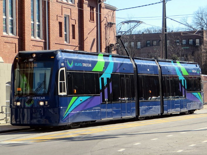
Atlanta Streetcar
Each of Georgia's larger cities have relatively uniform street sign layouts, with the exception of historic districts and the very center of the cities.
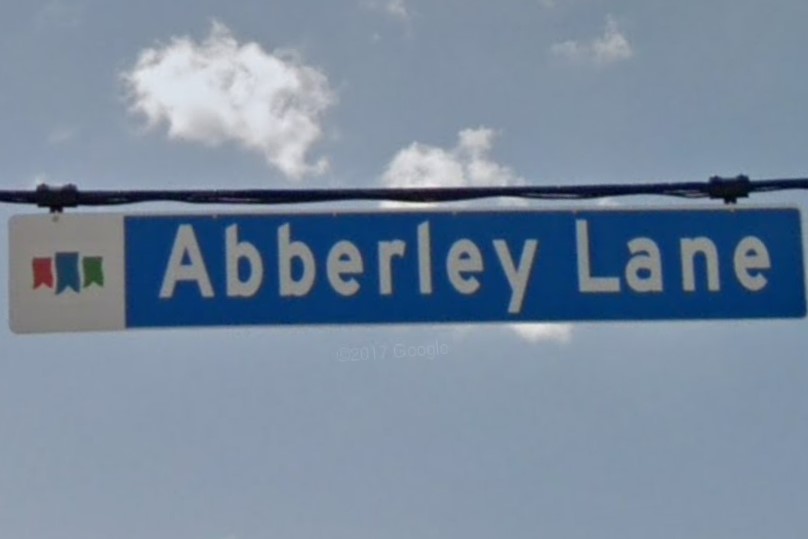
Alpharetta
Both Georgia and Florida have standard white plates with an orange splotch in the middle.
The letters on a Florida plate give it more of a green hue, while the Georgia plate looks more white or grey.

Georgia

Florida
All of the Hawaiian islands use the area code 808 and use a unique license plate, but it's difficult to distinguish it from other white plates and the area code is usually omitted from posted phone numbers.
The Hawaiian native language is used in conjunction with English.
It only contains the consonants H, K, L, M, N, P, and W, occasionally uses diacriticals, and words tend to contain an equal or greater number of vowels than consonants.
808 Area Code
Hawaii license plate
Hawaiian language
Interstate highways are only found on Oahu, and all interstate numbers include the letter "H".
State highways vary widely in appearance, but mile markers list the highway number on a white plate at the bottom.
Many straight, uninterrupted portions of highways use a repeating 1-4-1-4 reflector patterns.
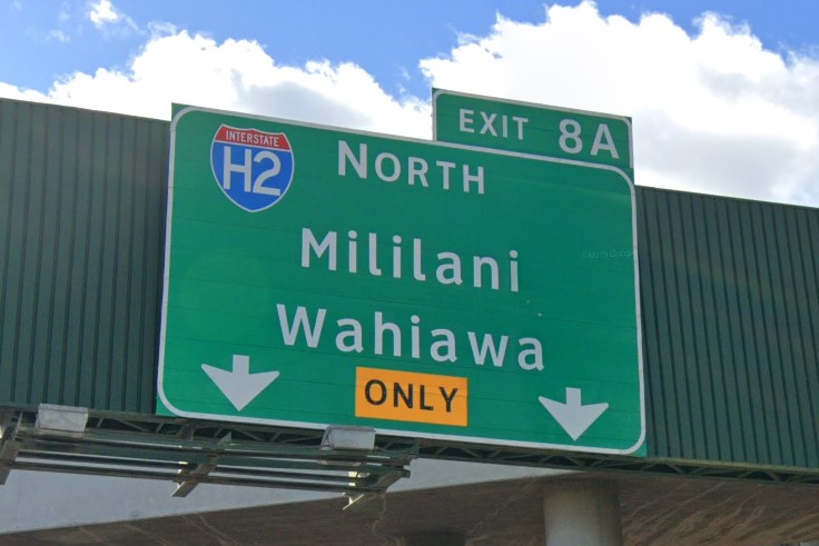
Interstate shield
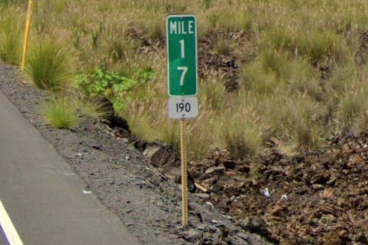
Hwy designation on mile marker
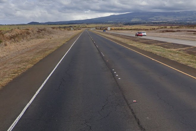
1-4-1-4 reflector pattern
In less urban areas, look for yellow plates or large yellow reflectors on utility poles and on important signs.
The red flowers of
Royal Poinciana trees are a good indicator as well.
Blue stop signs are fairly uncommon and mostly used on private property like the one below near the Diamondhead Crater parking lot, but they are only found in Hawaii.
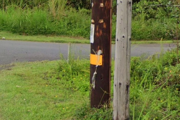
Yellow plates on wooden utility pole
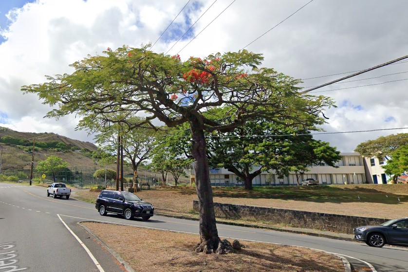
Royal Poinciana tree
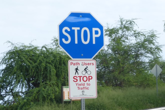
Blue stop sign
The individual islands have a lot in common, both geographically and culturally, but each island has its own set of distinct features.
State highways with two digits are helpful because the number in the tens column indicates which island you are on (see the image below).
Two digit numbers at 60 or higher are on Oahu, and there is no apparent structure to highways with three digits.
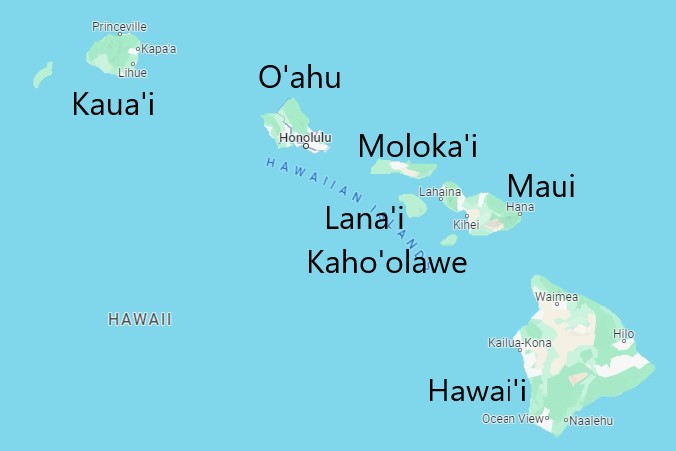
Hawaiian islands
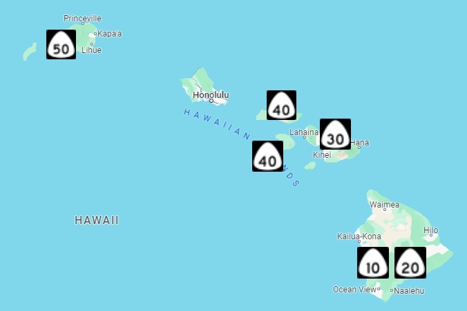
State highways guide
Although there are exceptions, each island predominantly uses a certain layout for its street signs.
Green signs with a number listed under "RD" are found on
Kauai.
Green signs with an extension above the road name with a number and/or arrow are used on
Oahu,
Molokai,
Lanai, and
Maui.
See the
Hawaii doc for a more detailed description of street sign layouts used in Hawaii and where they can be found.
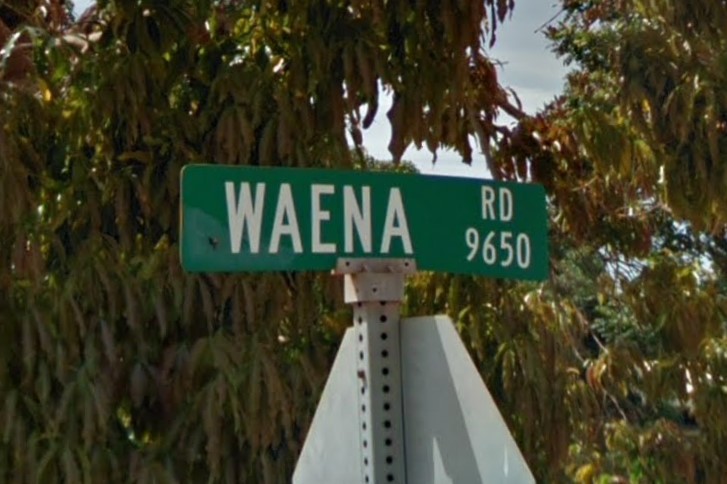
Kauai layout
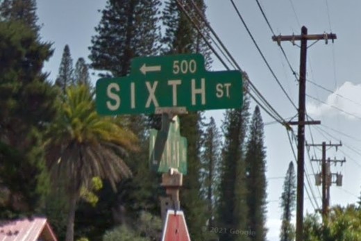
Tab with arrow and number

Tab with number and triangle
Hawaii- the big island- has a lot of visible black volcanic soil.
Highways are fairly well maintained, usually with rumble strips on the outsides and/or between the two center lines.
Rectangular street signs without numbers or arrows is also a good indicator that you're on the big island.
Most coverage is along coast- notably in
Hilo and
Keaau- which means finding where you are is just a matter of finding the ocean.
Highway 200 is also covered, connecting Hilo to
Puako through Volcanoes National Park, characterized by long sloping grasslands.
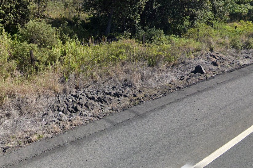
Volcanic soil
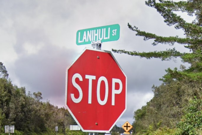
Rectangular sign, no number
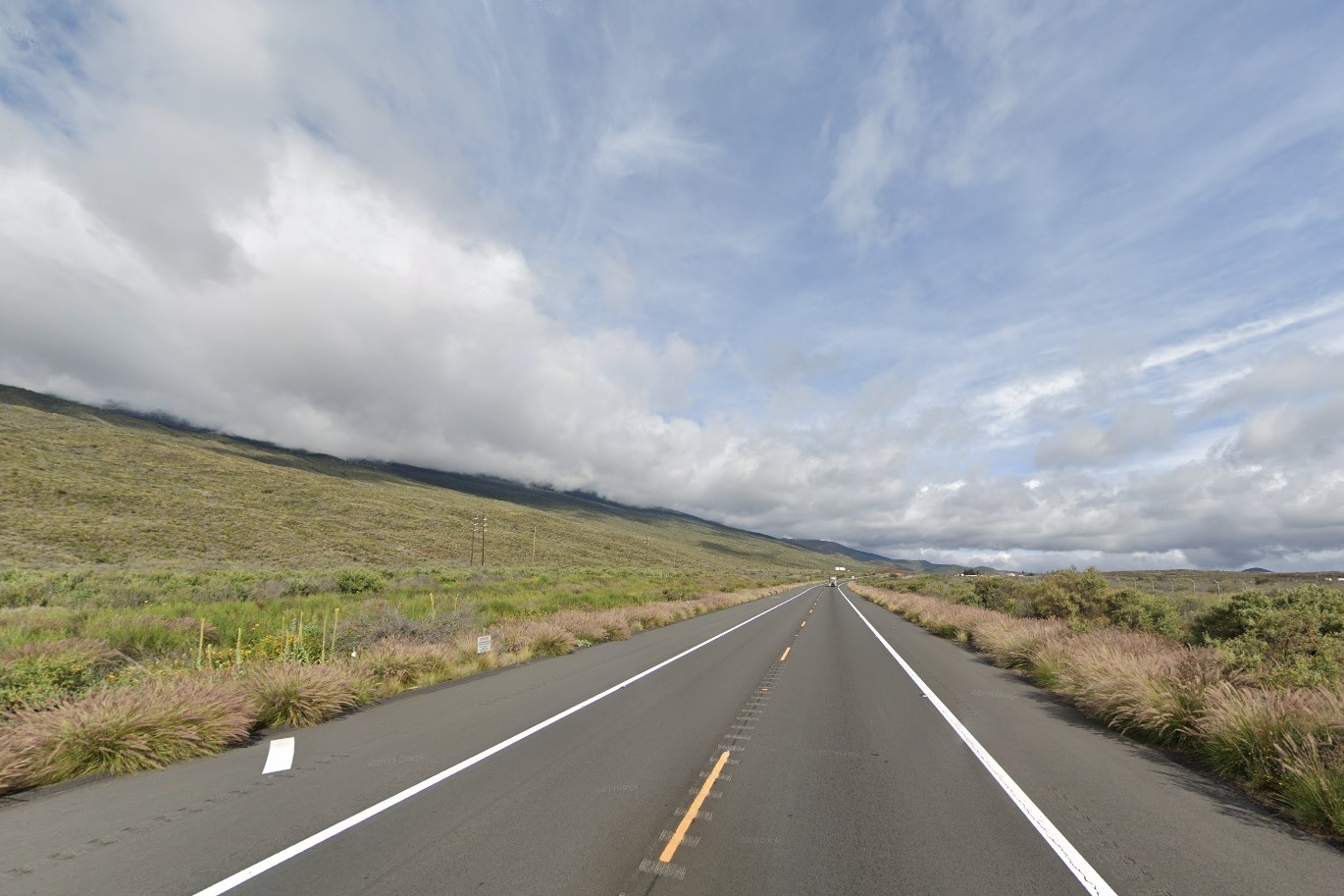
Sloping grasslands, Highway 200
Hilo can be identified by the words "STOP! LOOK" at the ends of crosswalks.
On the west side of the island the roads are roughly aligned NW-SE in the Kailua-Kona region.
The northeast is lined with Eucalyptus trees, though they can also be found on Maui.
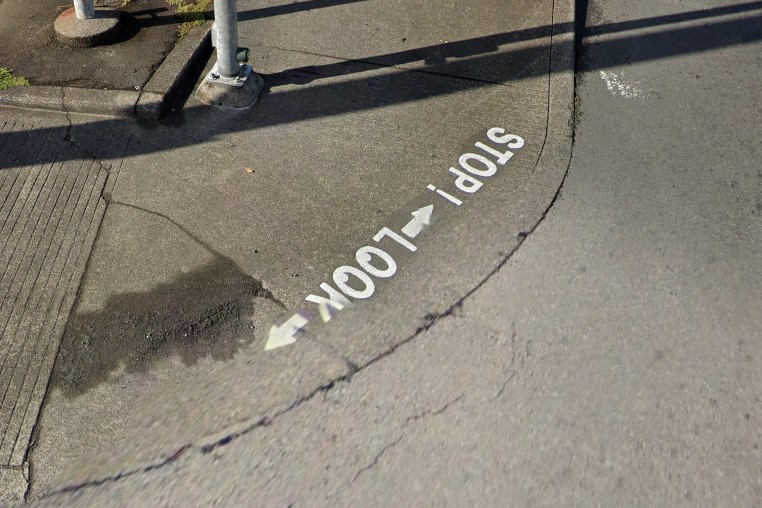
"STOP! LOOK", Hilo
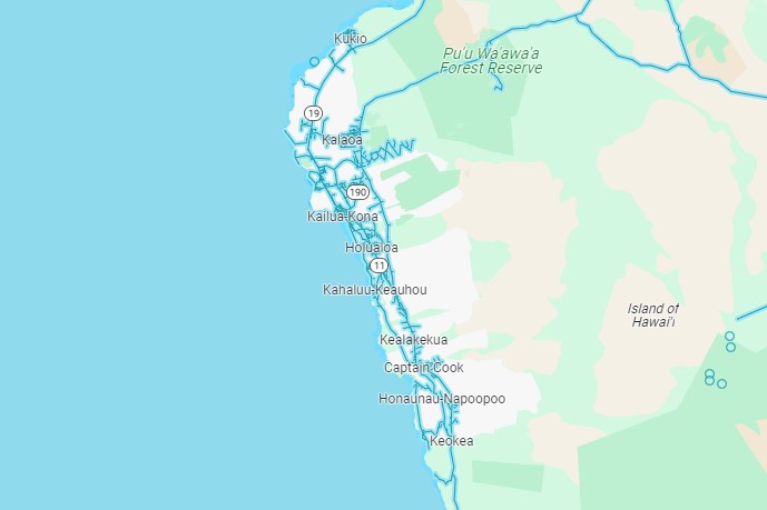
NE-SW alignment near Kona
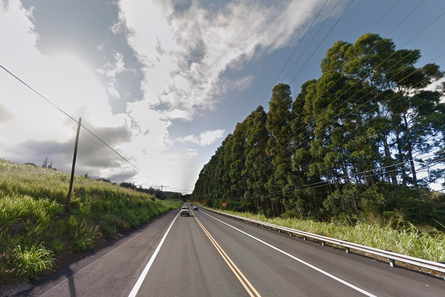
Eucalyptus in the northeast
The big island has a couple of very distinct locations.
The first is the red dirt road between Hwy 200 and
Mauna Loa.
On the south end of the island, there is a grid of roads in an otherwise barren volcanic field.
The Ocean View grid is entirely covered by Google Street View, and has an unmistakable appearance once you know it exists.
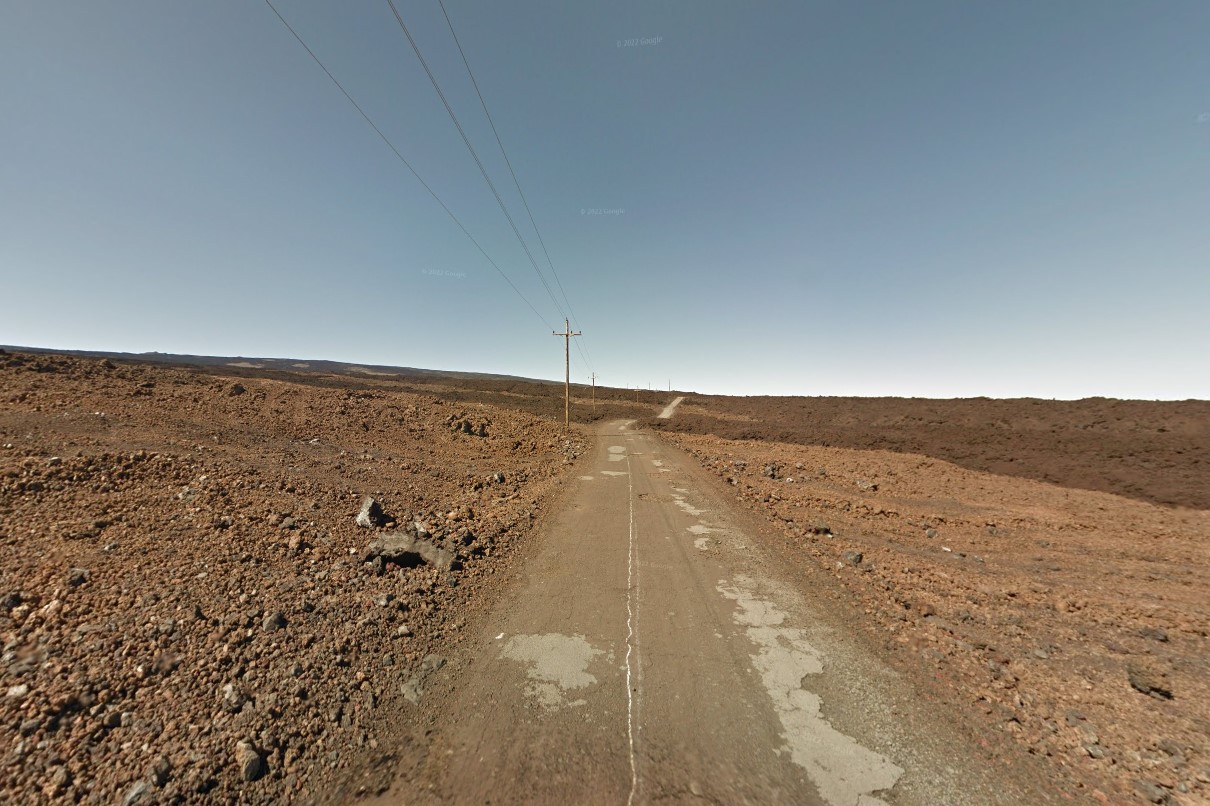
Road to Mauna Loa
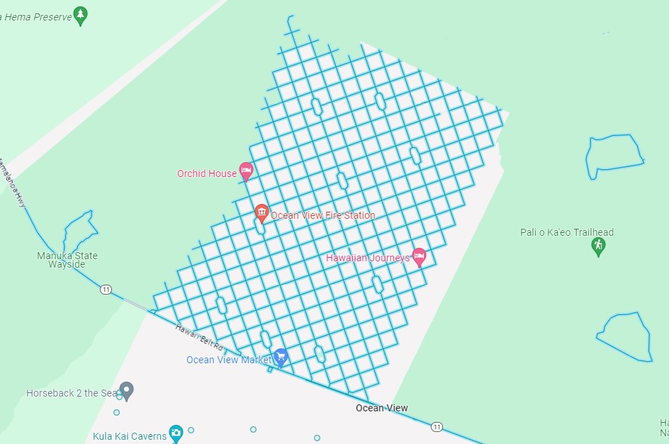
Ocean View grid
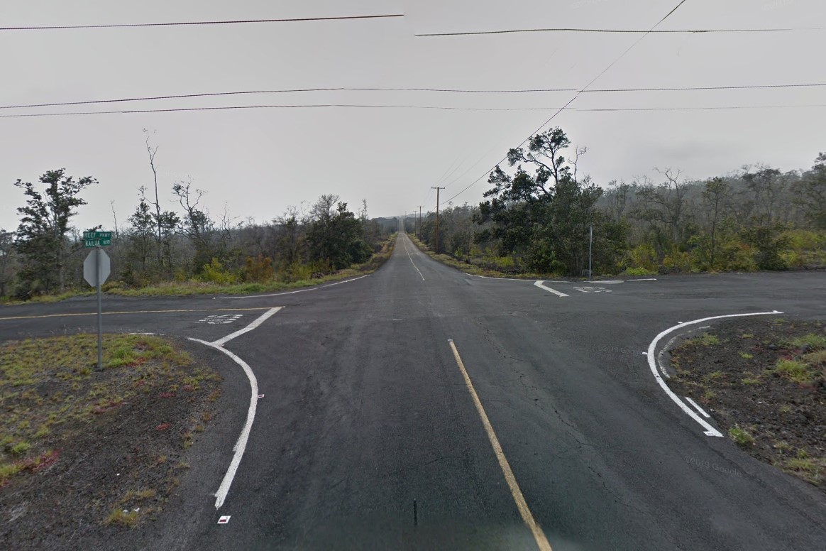
Ocean View in Street View
Kauai only has Gen 3 coverage, and it is mostly on the eastern half of the island, with the exception of
Waimea and
Kekeha.
It is the only island that has numbers below "RD" or "ST" on the right side of street signs.
Though still wavy, mountains on Kauai tend to be pointier than those on the other islands.

Kauai street sign layout
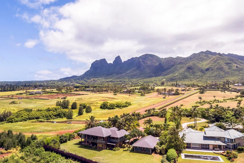
Pointy mountains
Maui differs greatly from the east end to the west.
The east coast is lush and green, while the western end is mostly dry and volcanic red or black.
The Pu'u Kukui mountains rise in the west and have a distinctive wavy look.
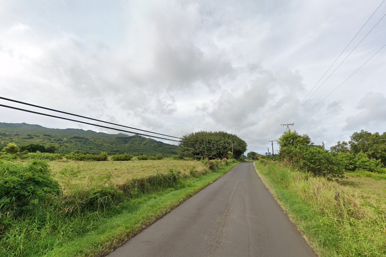
Green in the east
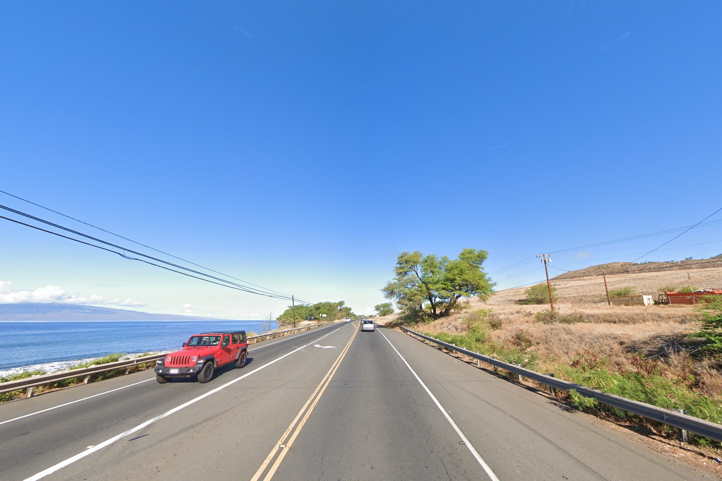
Dry in the west
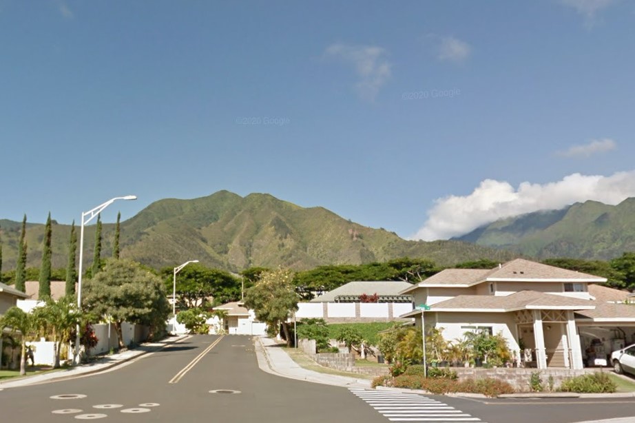
Wavy mountains
Urban coverage largely consists of
Kahului in the north,
Kihei in the south, and
Makawao in the center.
Street signs are characterized by a number and a long arrow on a tab extended above the street name.
In some areas, notably the
Wailuku suburbs, a rectangular tab extension exists, but is blank.

Number and long arrow
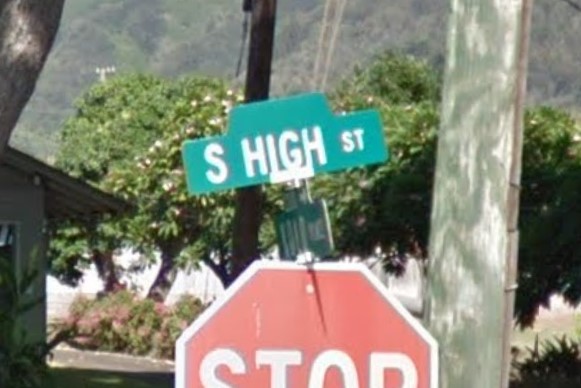
Blank rectangular extension
Molokai only has Gen 3 coverage, and is characterized by dry landscapes, red soil, and red dusted roads.
Coverage consists of major roads through
Ho'olehua, Highway 460 to the west coast, and Highway 450 across the southeast coast which turns into a one lane road.
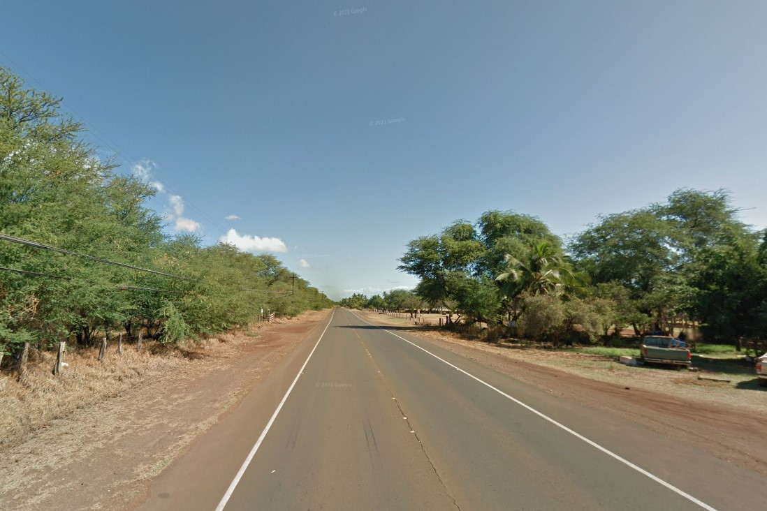
Red dusted roads
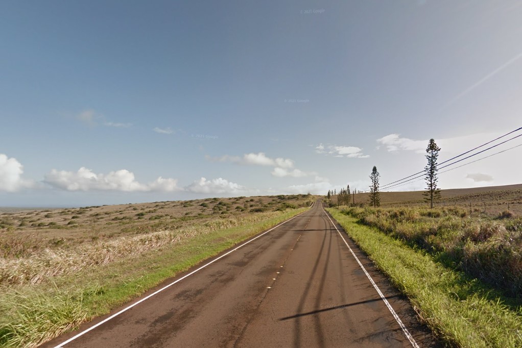
Highway 460
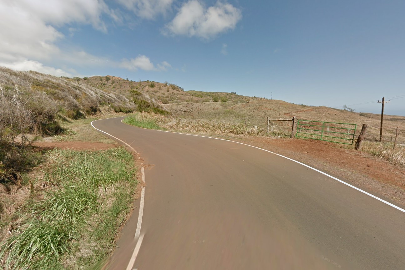
Highway 450
Iowa is a typical midwestern state, made up of small towns and single lane highways through endless farmlands.
Corn and soybeans are the state's major crops.
You may rarely find oat fields, but you will never see wheat fields in Iowa.
These farms will typically have grain bins and elevators instead of the silos that contain animal fodder.
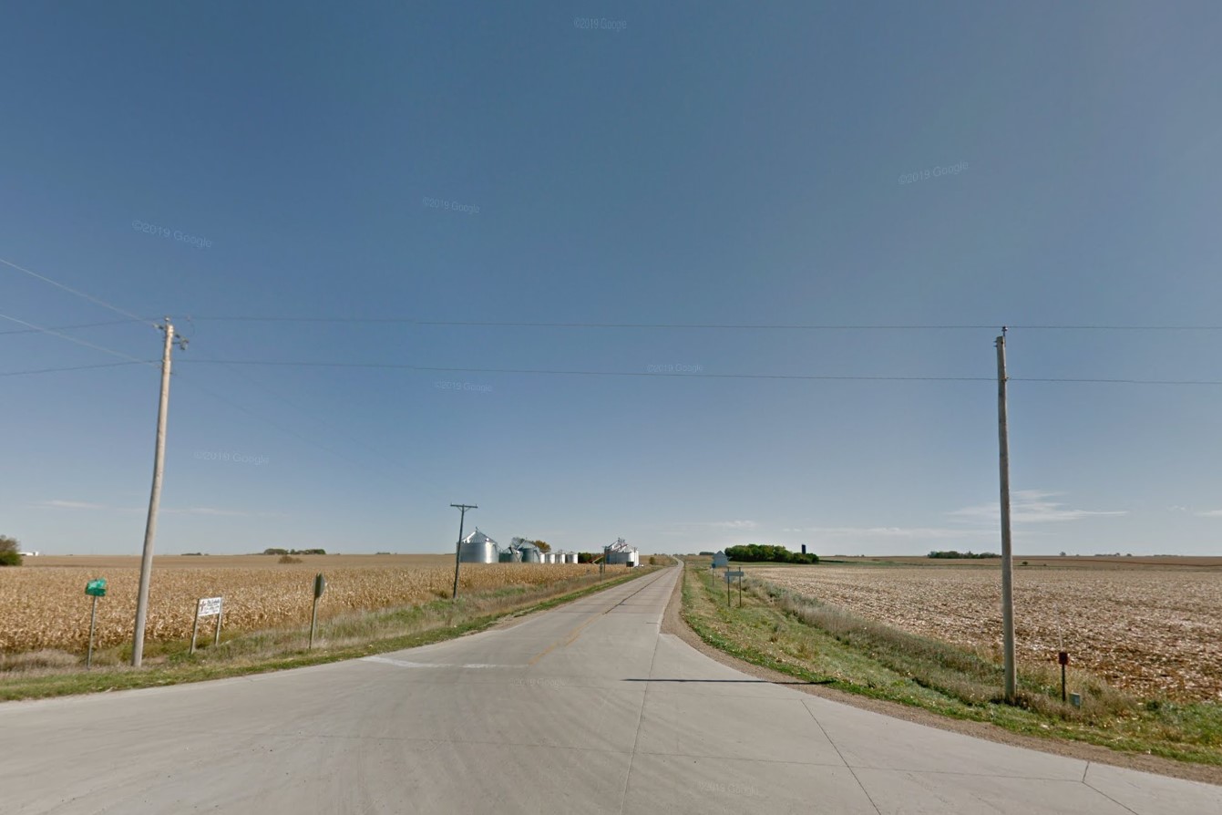
Harvested and unharvested corn
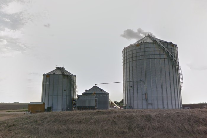
Grain bin
The central part of the state north of
Des Moines is completely flat across the horizon, similar to most of
Illinois.
The rest of the state is composed of slight to moderate rolling hills.
While coverage is mostly on artery roads, there is a very condensed grid of gravel and dirt road coverage in the southwest corner between I-80 and US-59.
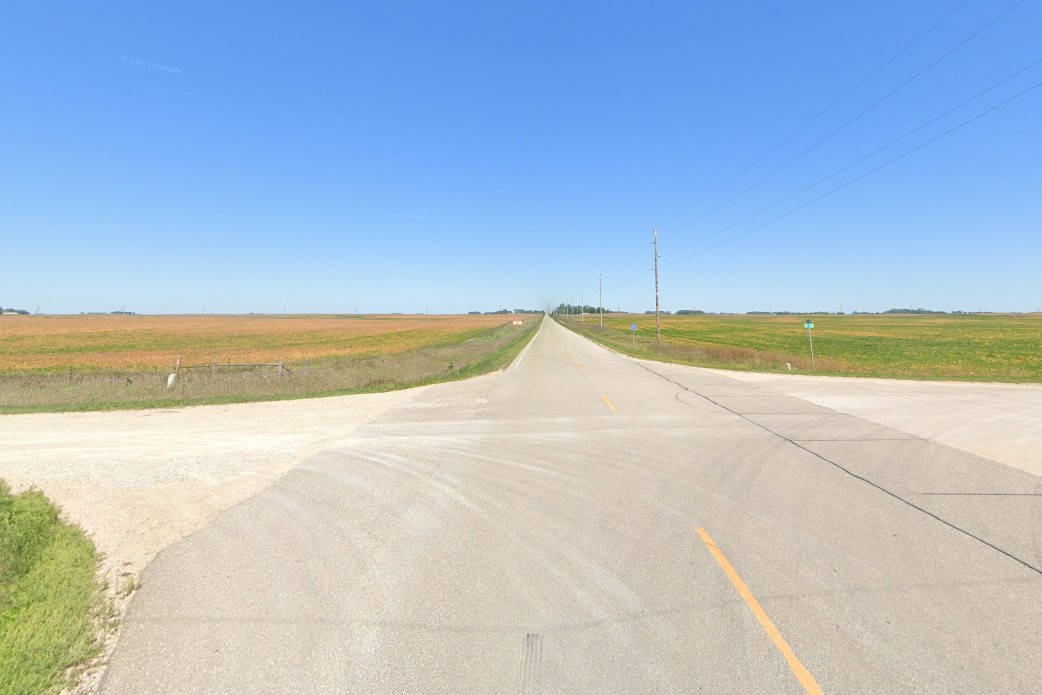
Flat horizon, north central region
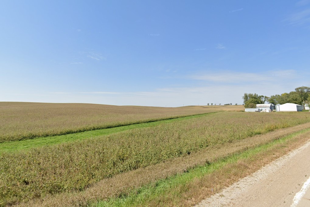
Slight rolling hills, typical
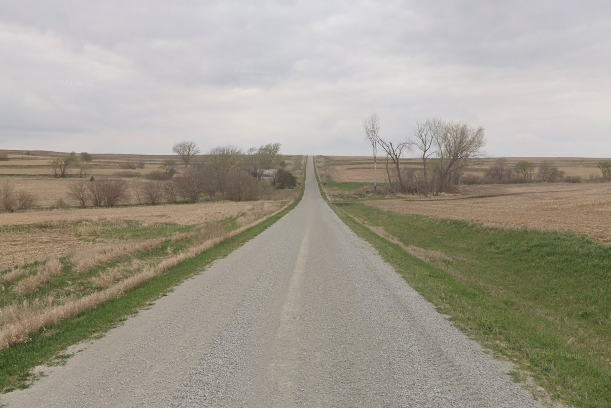
Gravel road coverage
Across the farmlands, Iowa roads are numbered, but don't include the cardinal directions typical in the Dakotas.
In the northeast, some of the north-south facing avenues are lettered.
County roads are marked with blue pentagons and typically have a letter-number combination.
A county road's letter designation can be used to identify its general region within the state, and the number can be used to pinpoint a location since the roads are named in numerical order north/south and east/west.
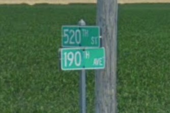
Numbered roads without cardinal directions
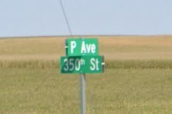
Lettered avenues in the northeast
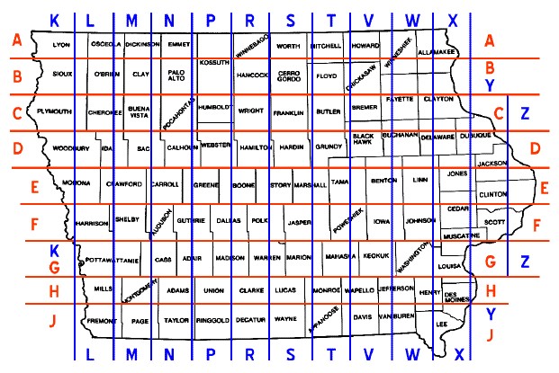
County road grid pattern
Intersections between state roads and/or US highways have a divider between the lane turning right and the land going straight.
Typically this is a triangle island with a white curb or a painted white triangle with a black barrel on the post, though some of the barrels have been removed in later coverage.
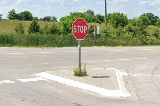
Triangle divider with a white curb
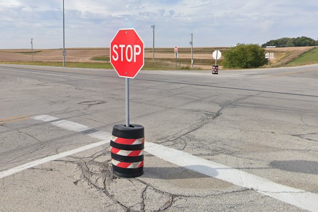
Black barrel divider with red/white stripes
Marion- in the northwest part of Cedar Rapids- has a unique, diagonal street sign layout.
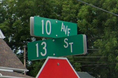
Diagonal layout, Marion
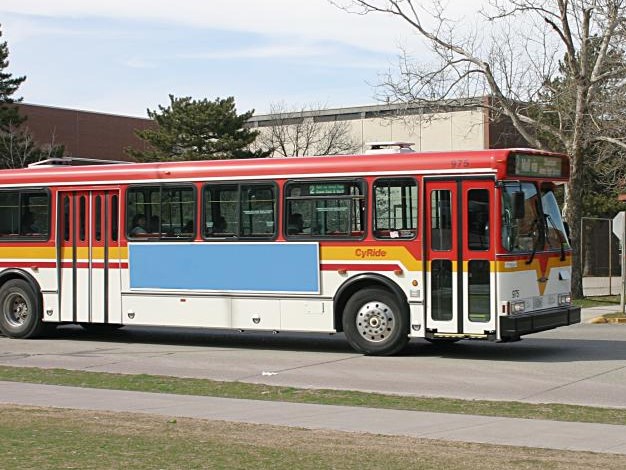
Ames | CyRide
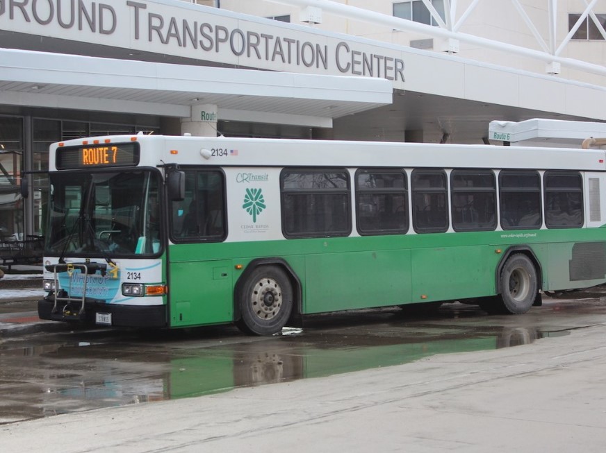
Cedar Rapids | CR Transit
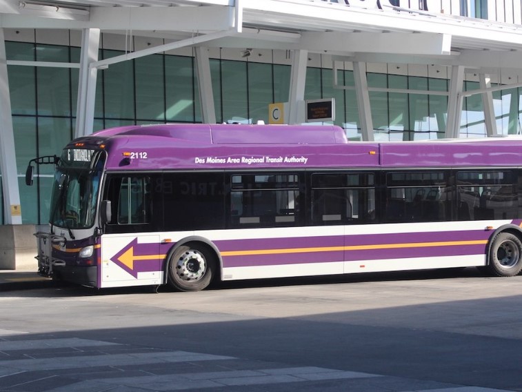
Des Moines | DART
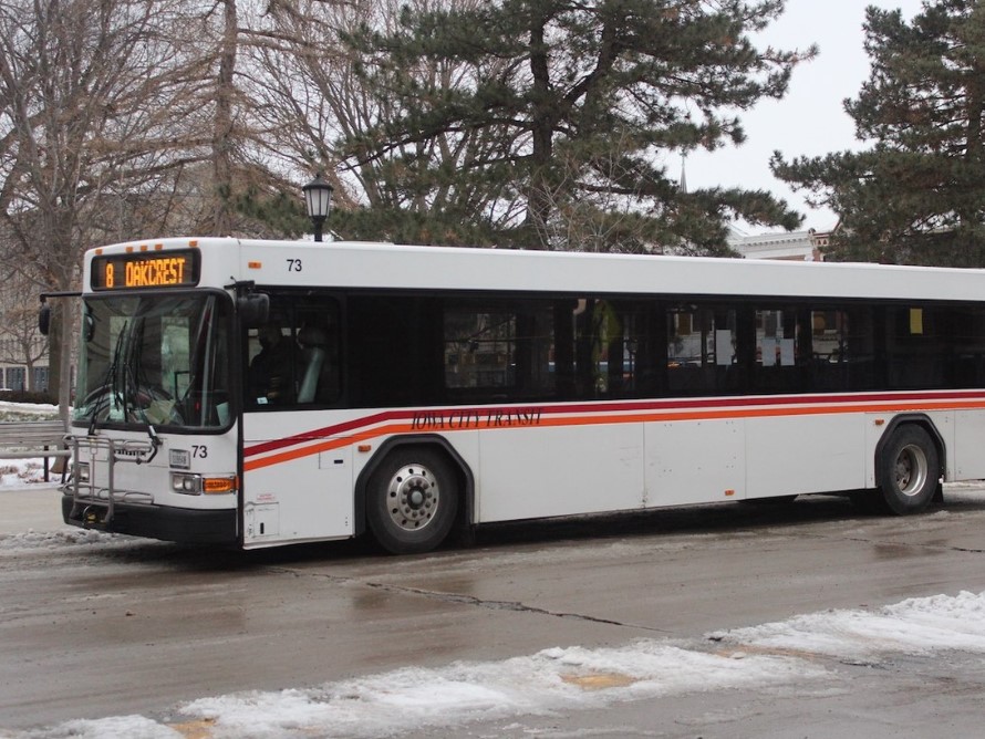
Iowa City | Iowa City Transit
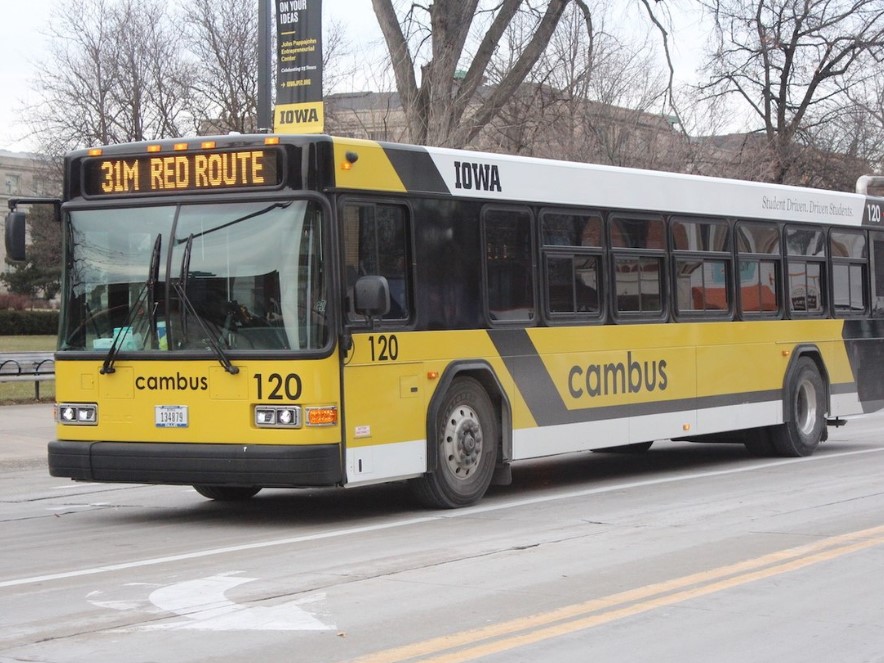
Iowa City | cambus
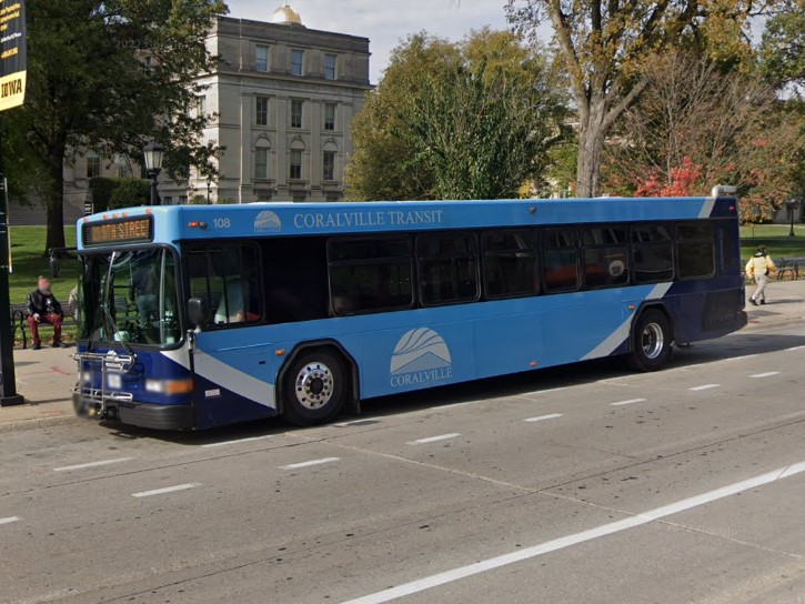
Iowa City | Coralville Transit
Ames | CyRide
Cedar Rapids | CR Transit
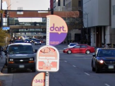
Des Moines | DART
Iowa City | Iowa City Transit
Iowa City | cambus
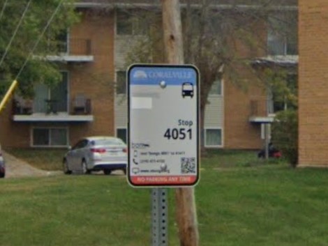
Iowa City | Coralville Transit
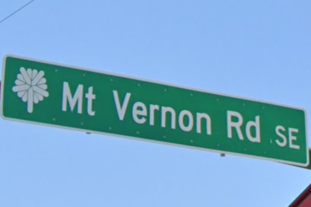
Cedar Rapids
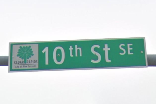
Cedar Rapids
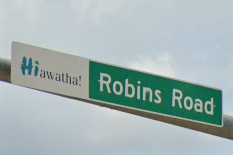
Hiawatha
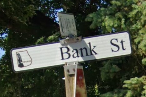
Keokuk
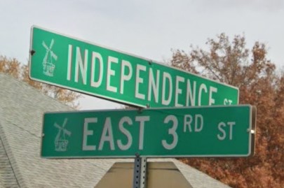
Pella
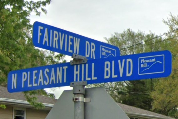
Pleasant Hill
Riverside
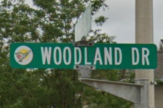
Robins
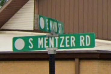
Robins
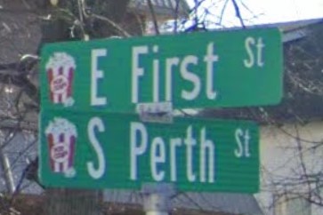
Schaller
Nebraska also has numbered streets without cardinal directions across its farmlands.
Suffixes in Iowa are uppercase and "avenue" is spelled "AV" everywhere except the northeast part of the state.
In Iowa, the "TH" after a number is half the size of the number and is aligned toward the top of the sign.
In Nebraska, the "TH" after the number is the same font size as the number or omitted entirely.
If one or more of the cross streets uses the suffix "Rd" instead of "street" or "avenue", this is a Nebraska county road.
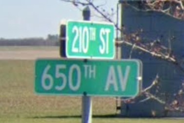
Iowa with "AV"

Northeast Iowa with "AVE"
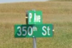
Northeast Iowa with lowercase "th"
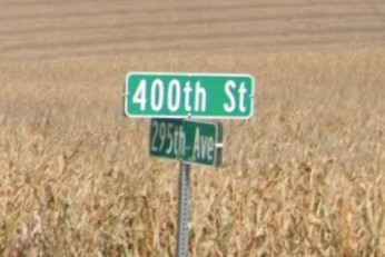
Nebraska lowercase suffix and large "th"
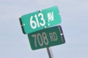
Nebraska with "Rd" and no "TH"
South Dakota and Michigan both use number-letter combinations for some county roads, though the order is reversed in South Dakota.
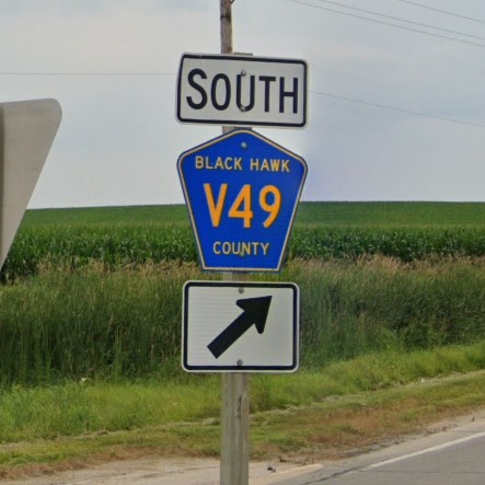
Iowa
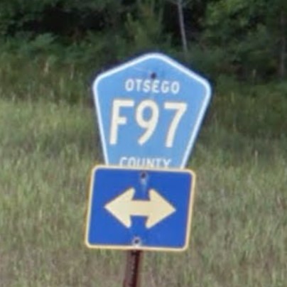
Michigan
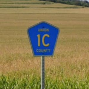
South Dakota
Iowa's blue license plate looks similar to Illinois' blue plate and South Dakota's standard plate.
Iowa
Illinois
South Dakota
Iowa's blue and yellow plate has a similar color pattern to Pennsylvania's standard plate.
Iowa
Pennsylvania
Iowa is one of several states that uses a circle to mark state highways.

Iowa

Delaware

Kentucky

Mississippi

New Jersey

Virginia
Idaho coverage is split into roughly two sections: I-90 and US-95 that cross through
Coeur d'Alene and southern coverage around I-84, I-86, and I-15.
The east side of the state has the same scrub deserts found all across Wyoming.
Toward the west are rolling hills sparsely covered with trees, or with groups of trees growing in patches.
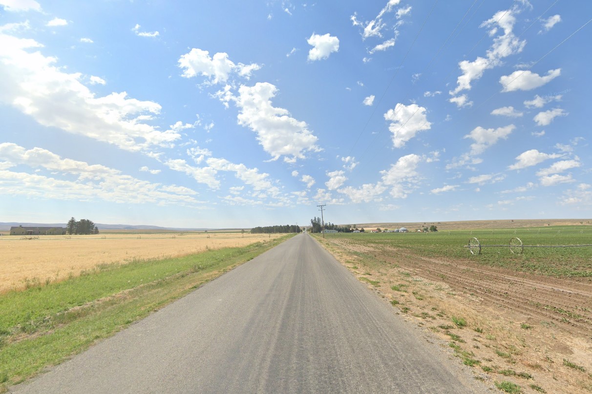
Southwest farmlands
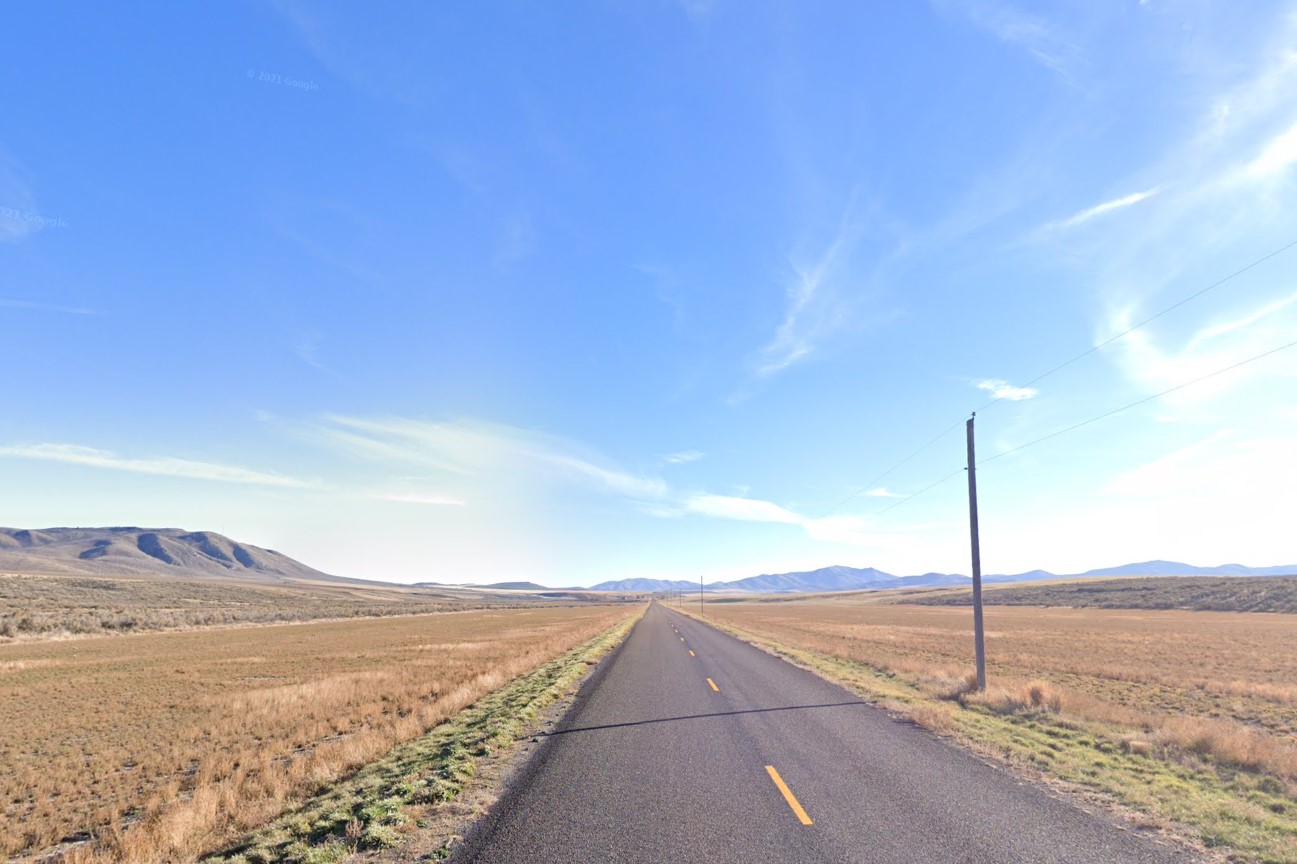
Bumpy rolling hills
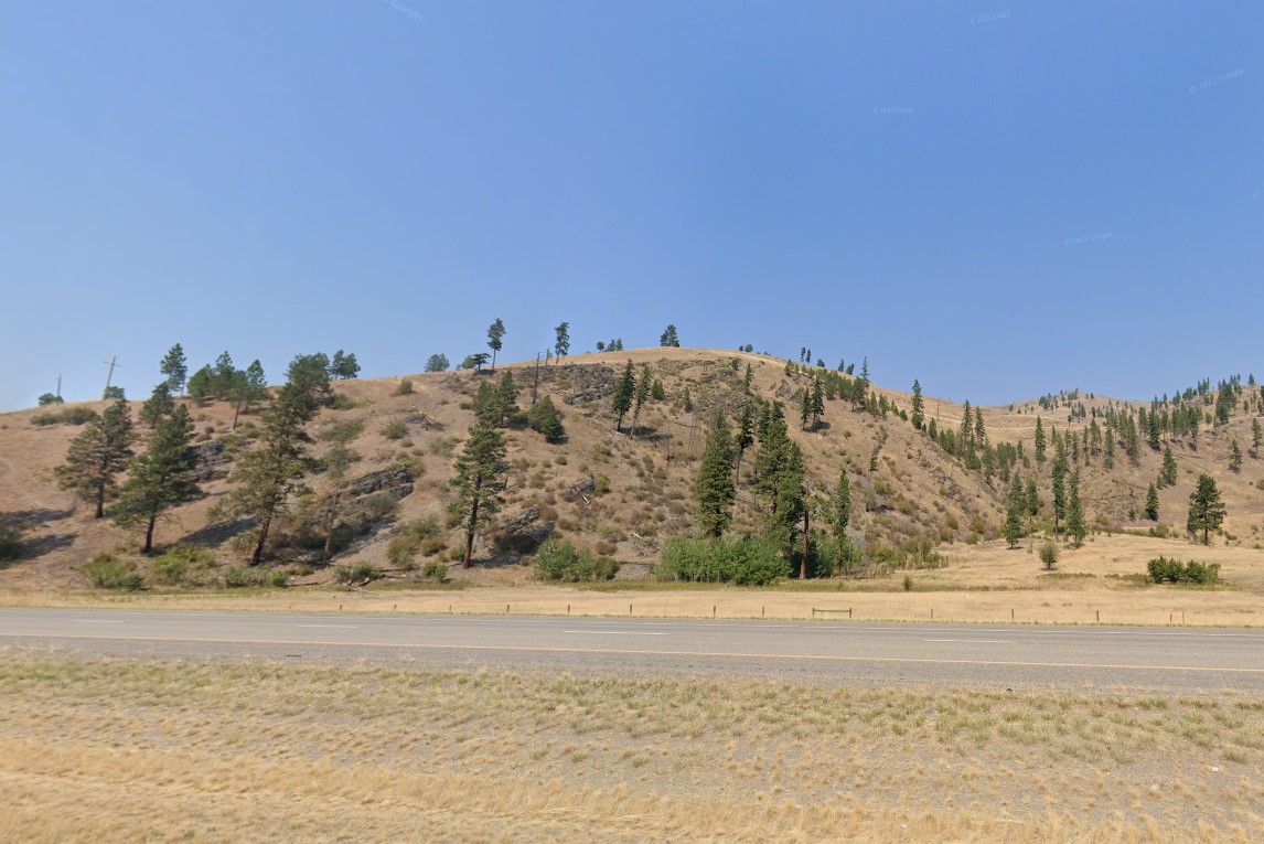
Trees growing sparsely
Idaho uses a distinct red, white, & black license plate and a state-wide area code, 208.
Wooden sign posts and white square or rectangle bollards are used across the state, but Idaho is in the process of converting them to plastic bollards with green posts.
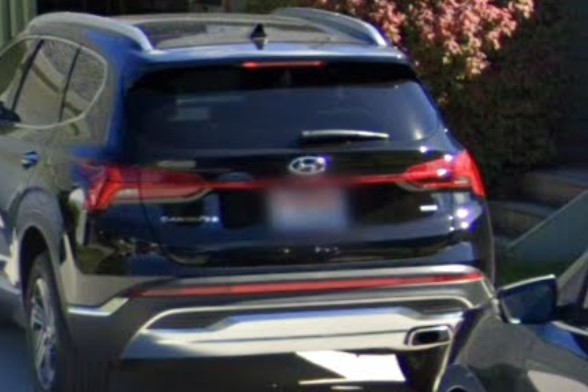
Red / White / Black plate

208 Area Code
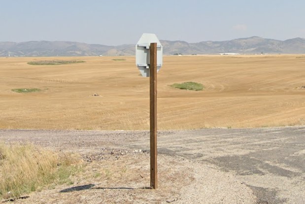
Wood post
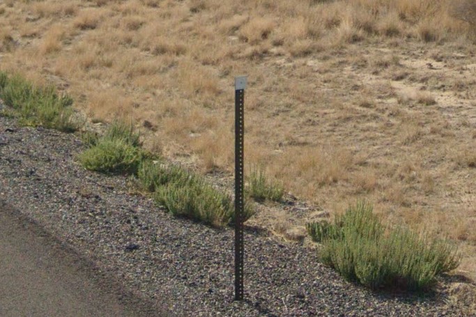
White square or diamond bollard
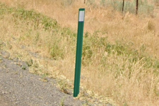
Green post bollard
A lot of Idaho cities have one or two unique features.
Twin Falls and Boise have unique street sign layouts, and Boise suburbs have yellow plating around traffic signals.
Lewiston puts yellow stickers behind signs and Pocatello puts large white square stickers behind signs.
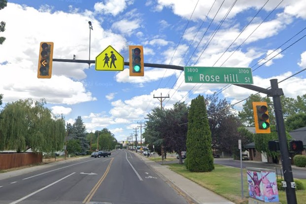
Yellow plated traffic lights, Boise suburbs
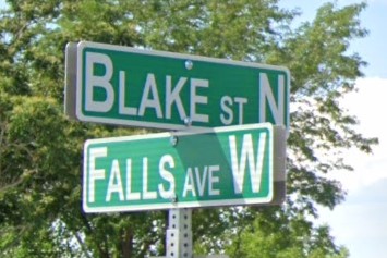
Unique sign layout, Twin Falls
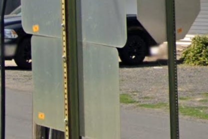
Yellow stickers, Lewiston
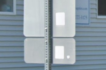
White stickers, Pocatello
With a few exceptions, each of the larger cities has unique trash bins markings, most apparent in suburb grids.
Republic can also be found in
Nampa, and
Boise also uses Allied Waste, particularly for recyclables.
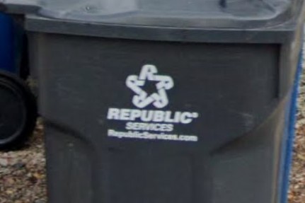
Boise | Republic

Coeur d'Alene | CDA
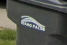
Idaho Falls
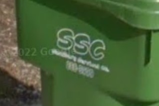
Meridian | SSC

Pocatello
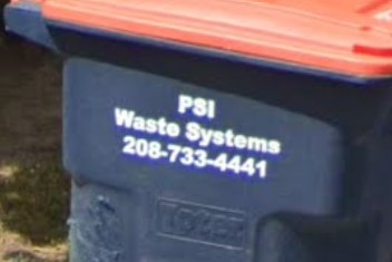
Twin Falls | PSI
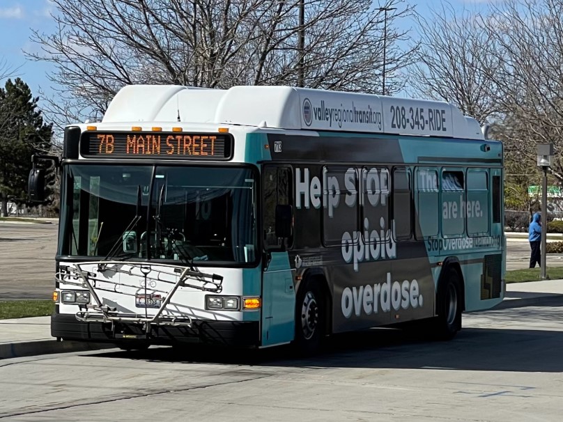
Boise | Valley Ride
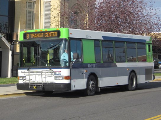
Pocatello | PRT
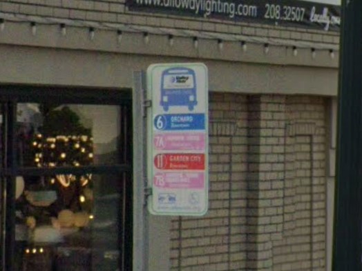
Boise | Valley Ride
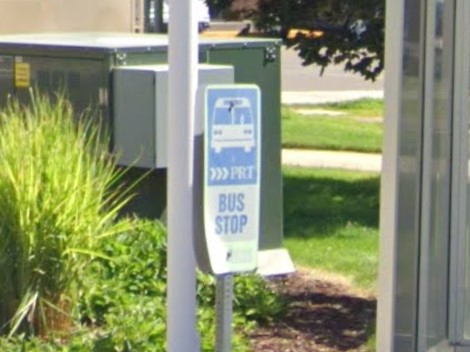
Pocatello | PRT
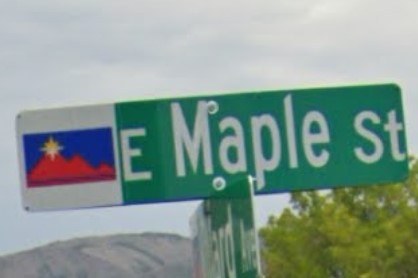
Pocatello (new)
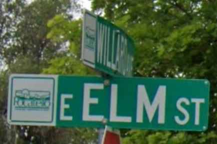
Pocatello (old)
Rexburg
Colorado uses green post bollards similar to Idaho's new style of green post plastic bollard.
White square bollards look similar to those in Utah, but have one bolt instead of two.
When square bollards are tilted or offset, they can look similar to the diamonds used in Montana and the Dakotas.
Rocky Mountain Power division of Pacificorp also serves Wyoming and Utah.
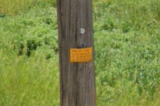
Pacificorp Plate
The Kentucky guide is not done yet.
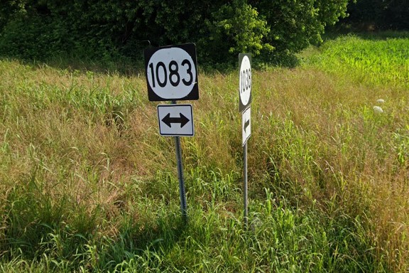
4-digit state road numbers
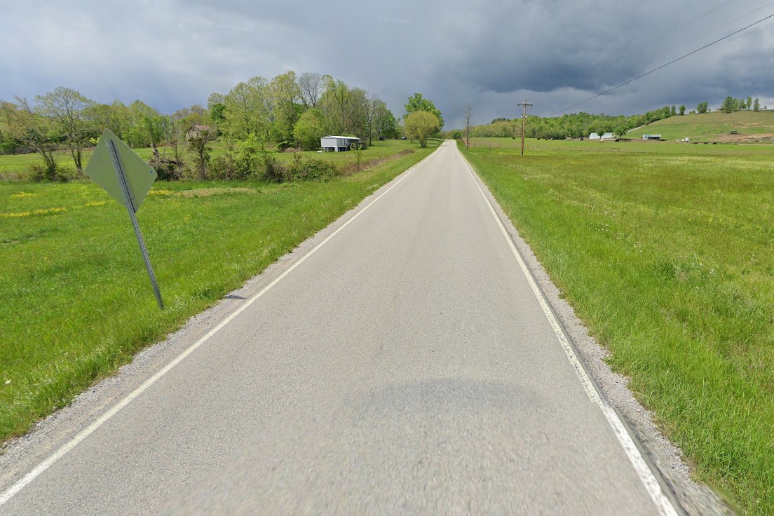
No centerline on smaller roads
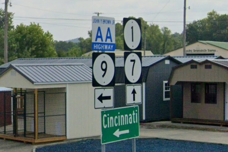
AA Highway
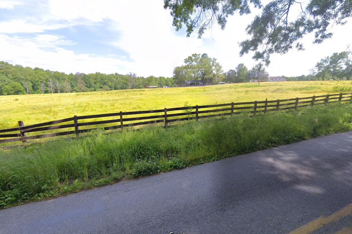
The 4-row black fence is popular across the state, but also shows up in various other eastern states.
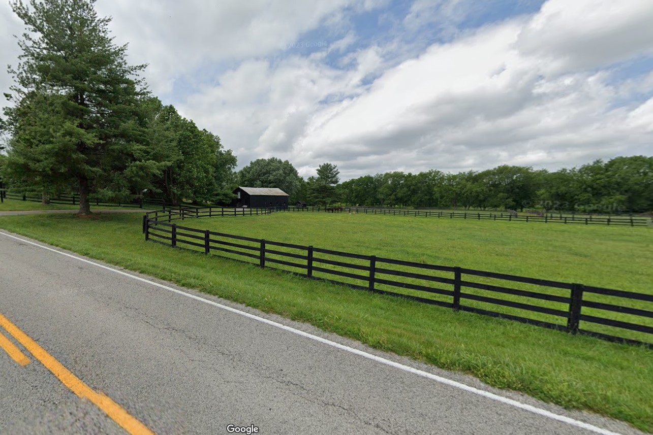
Kentucky
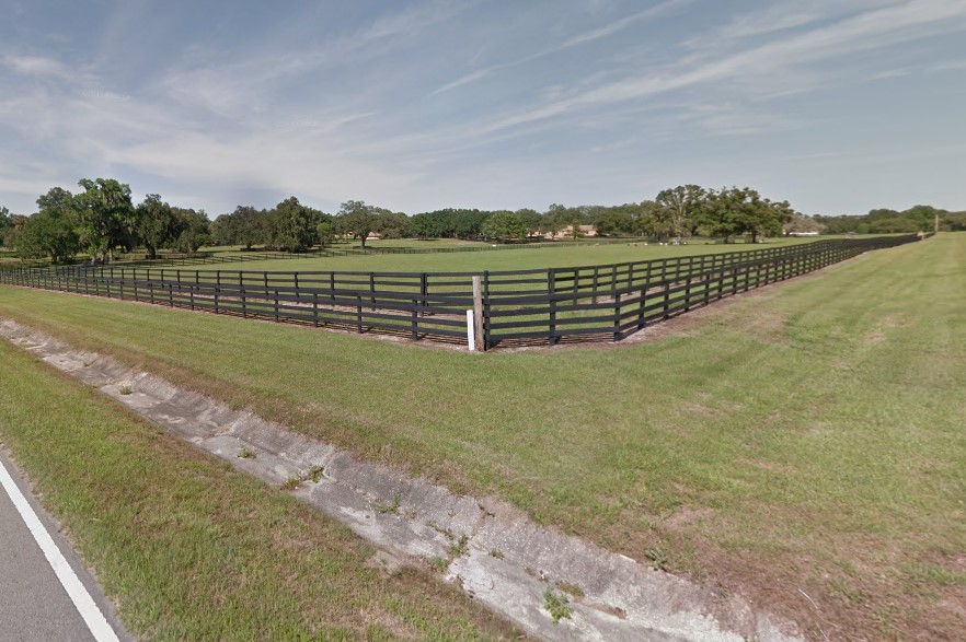
Florida
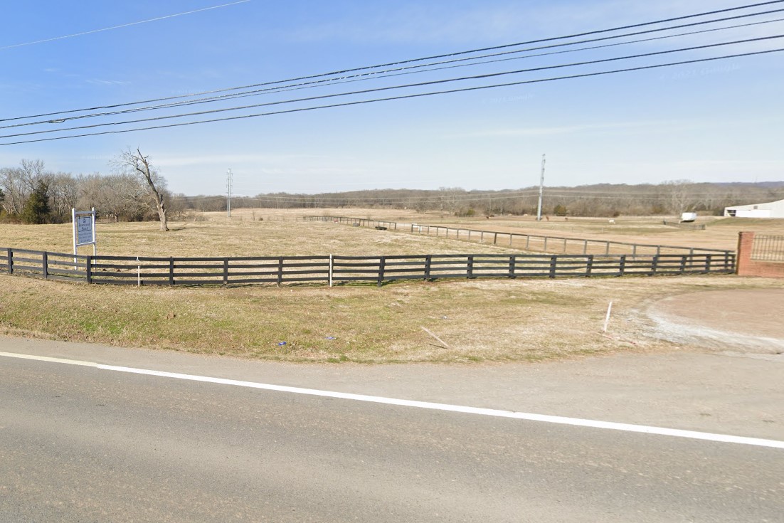
Tennessee
Virginia
"Midstate Waste" is used in Allen, Barren, Metcalfe, and Monroe counties
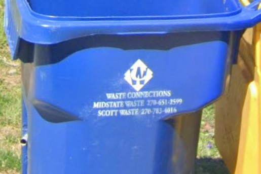
Midstate Waste
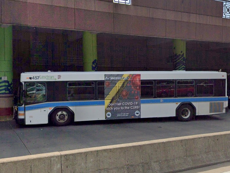
Lexington | Lextran
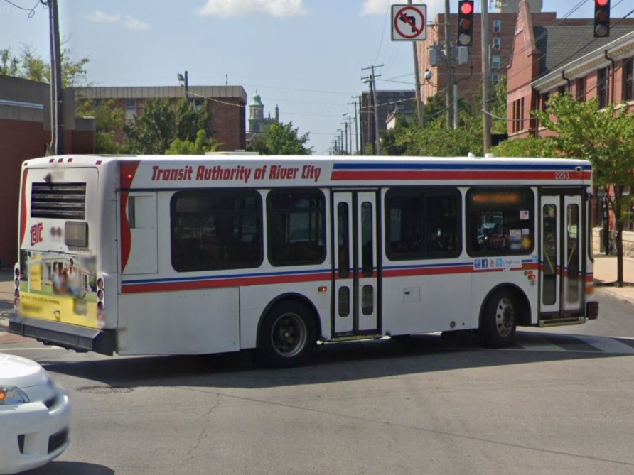
Louisville | TARC
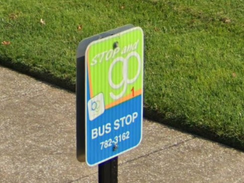
Bowling Green | GoBG
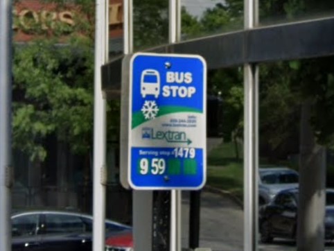
Lexington | Lextran
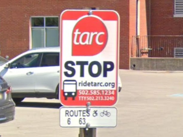
Louisville | TARC
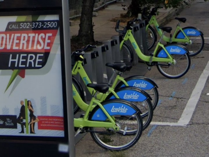
Louisville
Kentucky's blue license plate looks very similar to the Iowa and Illinois blue plates.
Kentucky is one of several states that uses a circle to mark state highways.

Kentucky

Delaware

Iowa

Mississippi

New Jersey

Virginia
Thanks to littleduck for information about the AA highway and the black wooden fences near Louisville and Lexington
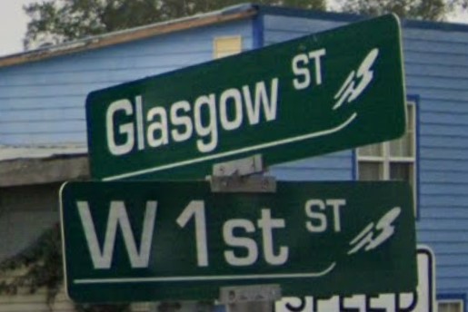
Thanks to HWY63Guessr for info about Glasgow area street signs
The natural scenery of Louisiana looks very similar to that of other southeastern states, shifting from loblolly pine forests with red dirt in the north to live oaks and spanish moss with sandy soil toward the southern coast.
Low grasslands, farms, and swamps fill the gaps in between.
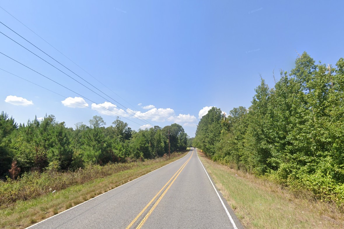
Loblolly pine forest
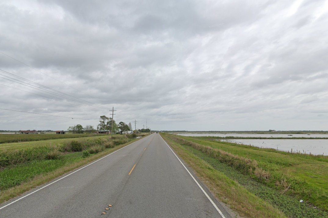
Flooded fields
At the same time, Louisiana is the most unique of the southeastern states.
It is the only southeastern state that requires vehicle registration stickers, with New Orleans requiring its own unique registration sticker.
it is the only state divided into parishes instead of counties, and one of the few places you'll find above-ground cemeteries.
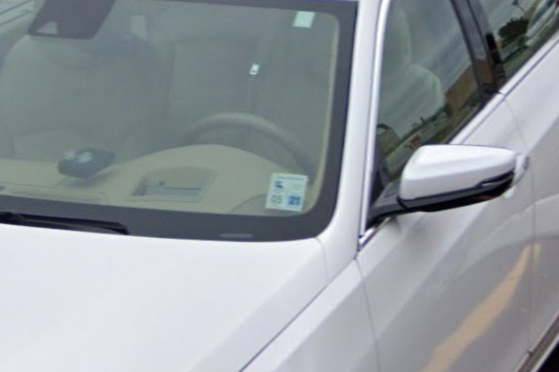
Registration sticker
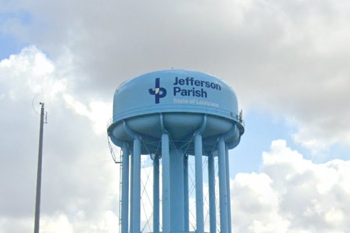
Parish designations
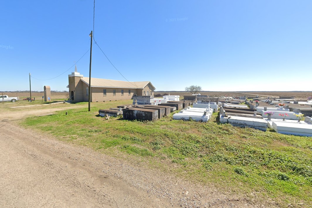
Above ground cemetery
In more rural areas, you can find drainage marked by yellow bollards and T-intersections marked with several black and yellow striped warning signs.
Louisiana will occasionally use signs with thicker stripes than the standard, and these can only be found here.
Florida also marks drainage with yellow bollards, so use it with other clues.

Yellow bollard marking drainage
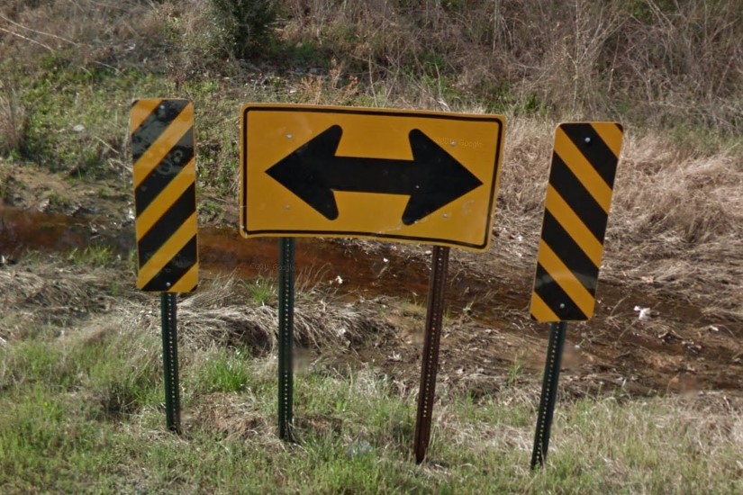
Multiple warning stripes at intersection
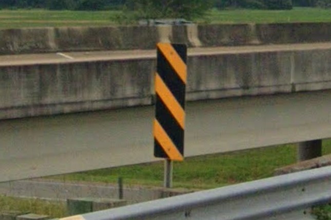
Thicker black stripes

New Orleans registration sticker
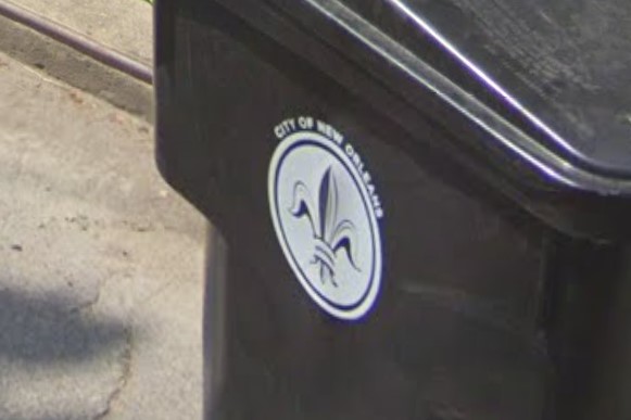
New Orleans symbol
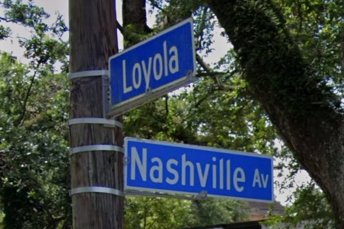
Blue street signs
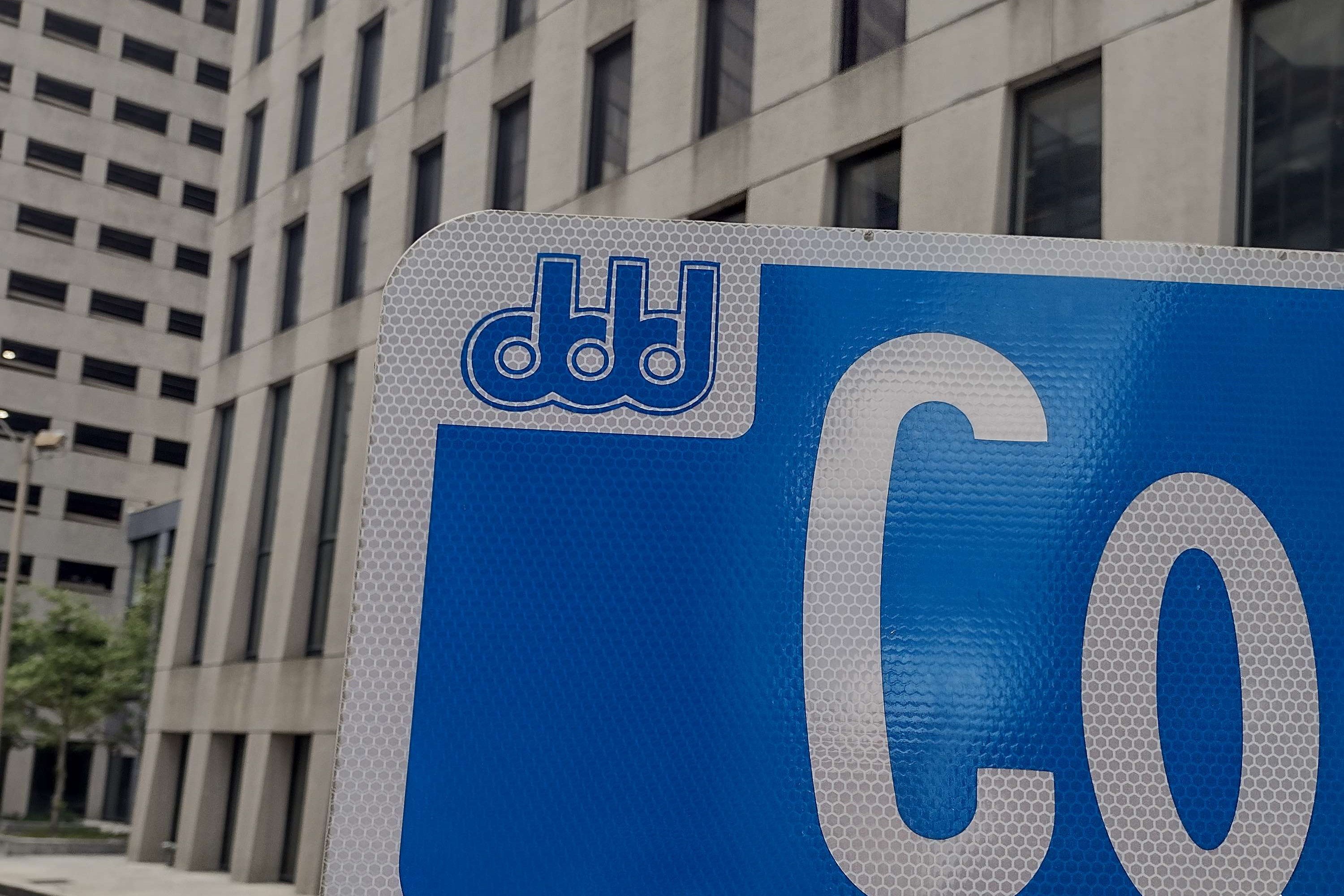
Downtown New Orleans street sign
NORTA sign
JeT sign
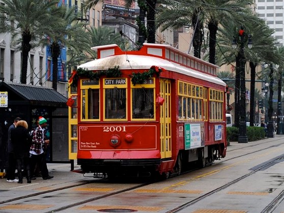
RTA Trolley
Florida and South Dakota also marks drainage with a yellow bollard.
Windshield stickers on vehicles registered in Louisiana can help you decide which state you are in.

Louisiana

Florida

South Dakota
New Orleans has some very distinct architecture, but parts of
Mobile can look very similar.
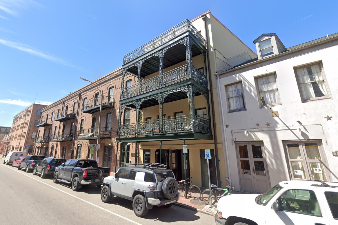
New Orleans, Louisiana
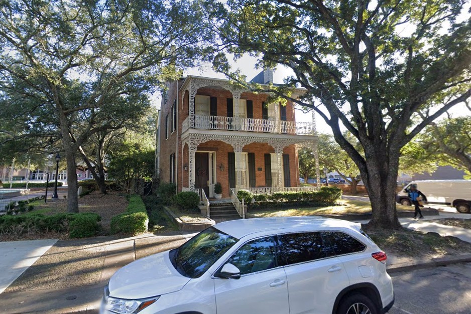
Mobile, Alabama
Massachusetts issues a white license plate that is difficult to identify, but it also requires a much more recognizable registration sticker in the windshield.
Its state highway symbol is a square, similar to both Maine and Connecticut, but you will almost always see it as a white square on a green background.
Occasionally you will find an older intersection sign that just features numbers.
These are unique to Massachusetts, but are being replaced over time.
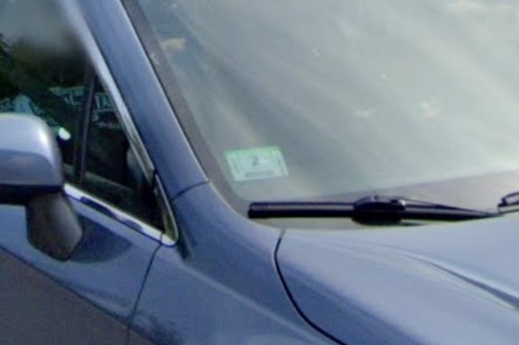
Registration sticker
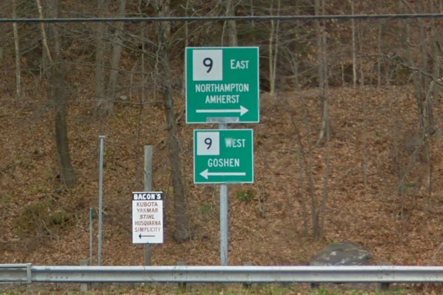
T-intersection relatively unmarked
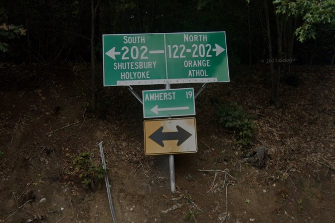
Older highway sign without symbol
Mile markers display the distance on top and the decimal on bottom separated by a solid line.
US highways in Massachusetts have unique mile markers that will tell you the distance to the state line on top and the last digit of the highway number on bottom.
State highways in Massachusetts also have unique white markers in addition to mile markers, usually found near storm drains, and only found in Massachusetts.
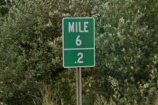
Mile marker
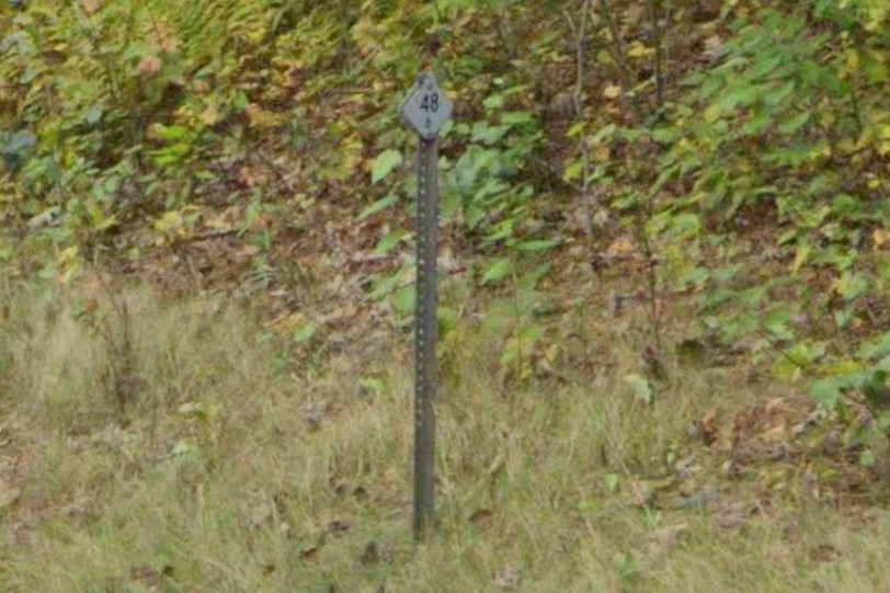
US highway marker
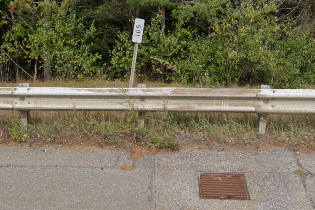
White marker
If guardrails have bollards, you will find a red bollard at the start and a green bollard at the end of the guardrail.
T-intersections are relatively unmarked, having at most a yellow diamond with reflectors under the directional sign.
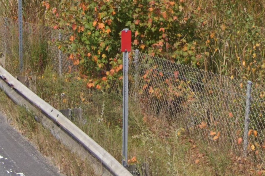
Red bollard at guardrail start
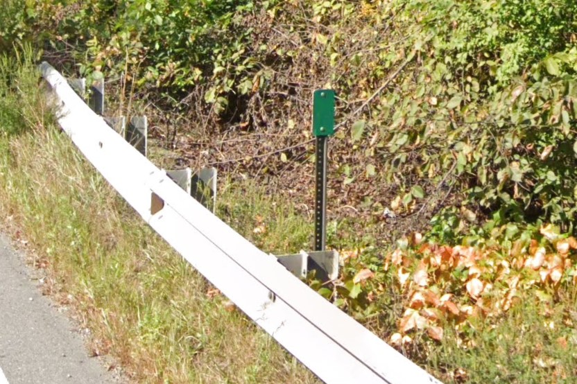
Green bollard at guardrail end
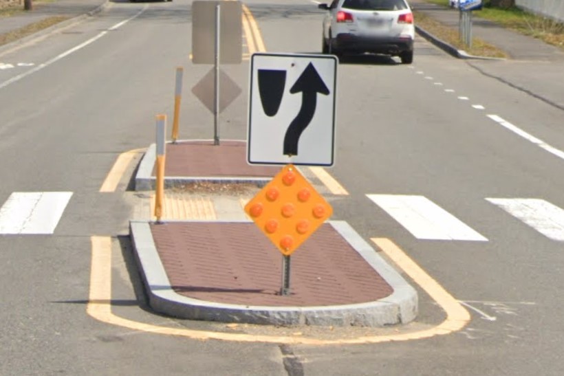
Yellow warning diamond with reflectors
Town line signs are a unique shape in Massachusetts.
Granite curbs aren't unique, but are found all over Massachusetts and New Hampshire.
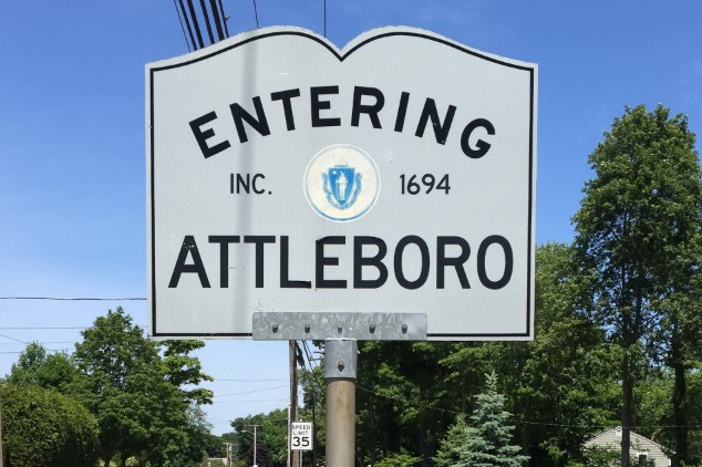
Town line sign
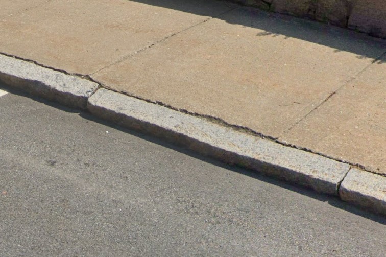
Granite curb
Interstate exits in Massachusetts use a larger, paler form of the yellow diamond with reflectors, and many exits are labeled with the previous designation in yellow.
A green sign on interstate overpasses lists the road name and the closest city.
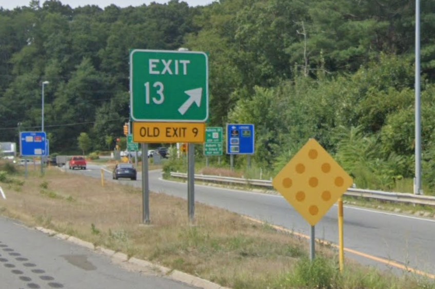
Interstate exit
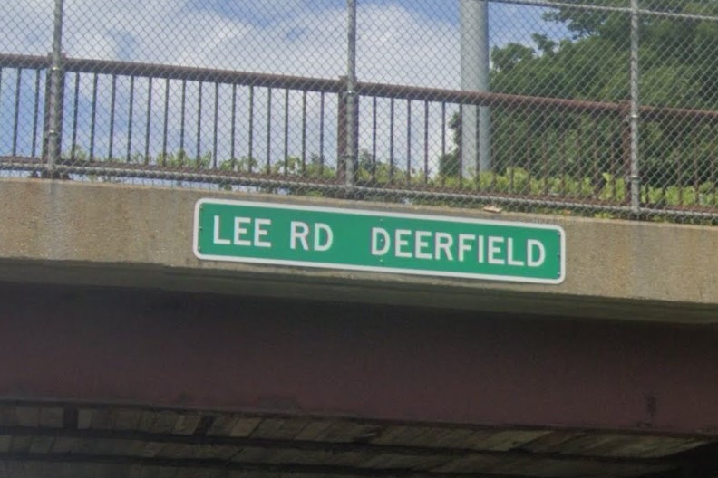
Interstate overpass
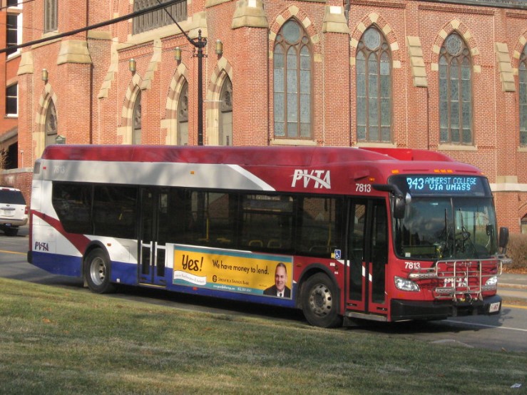
Northampton | PVTA
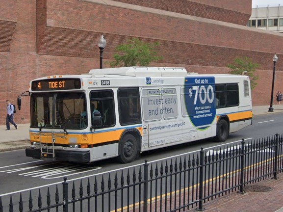
Boston | MBTA
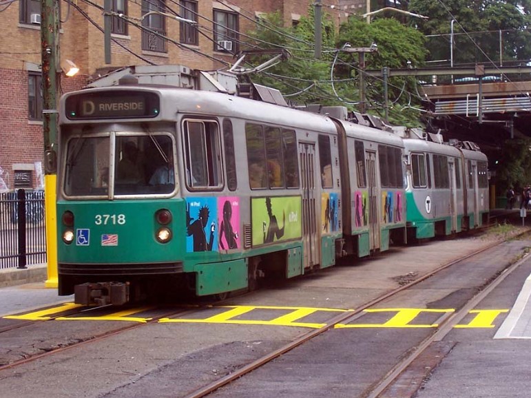
MBTA Green Line
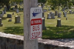
Southeast MA | SRTA
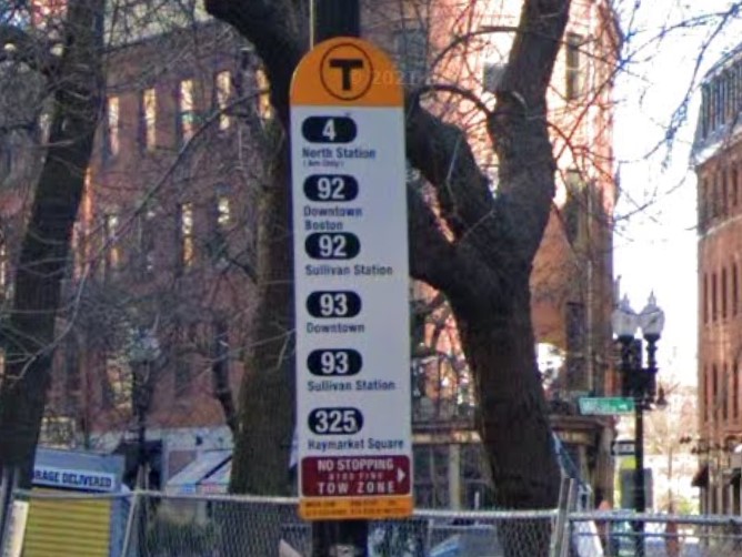
Boston MA | MBTA
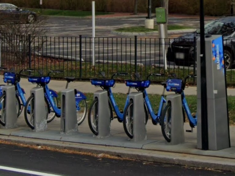
Boston
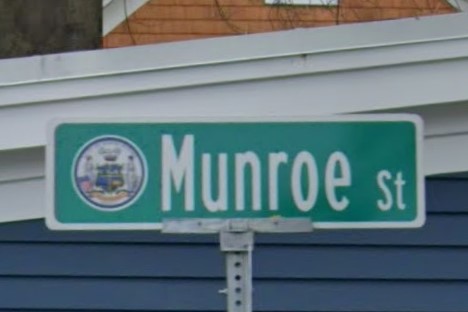
Newburyport
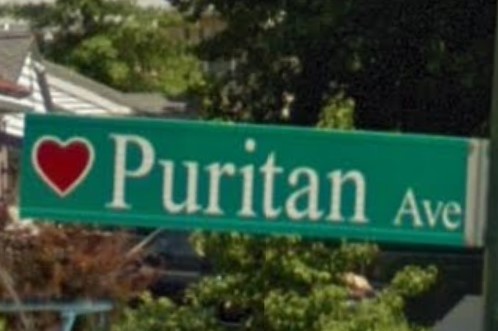
Worcester
Several states use a square to mark state highways, but Massachusetts almost always uses a green background.

Massachusetts

Connecticut

Maine
Maine also uses the yellow diamond with yellow reflectors

Massachusetts
Maine
Maine's standard license plate looks a pale green.
It can easily be distinguished from the striking green Vermont plate, but not as easily from New Hampshire's standard plate.
Vehicles in Maine also require a registration sticker, which looks like a rectangle with a small chunk removed from one side.
Maine license plate
Maine registration sticker
New Hampshire license plate & sticker
Maine uses the state-wide area code 207, and uses a unique town line sign and green bridge marker.
207 Area Code
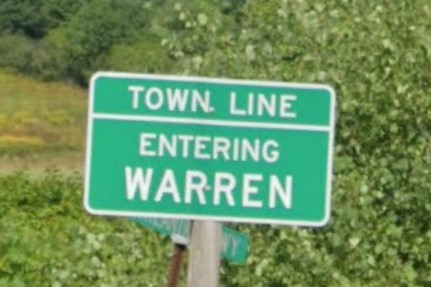
Town Line sign
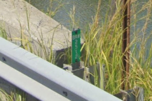
Bridge marker
Horizontal wood siding architecture is common, as are brown, rusting sign posts and yellow paint marking drainage.
Local attraction signs tend to be blue, and many intersection islands are painted green.
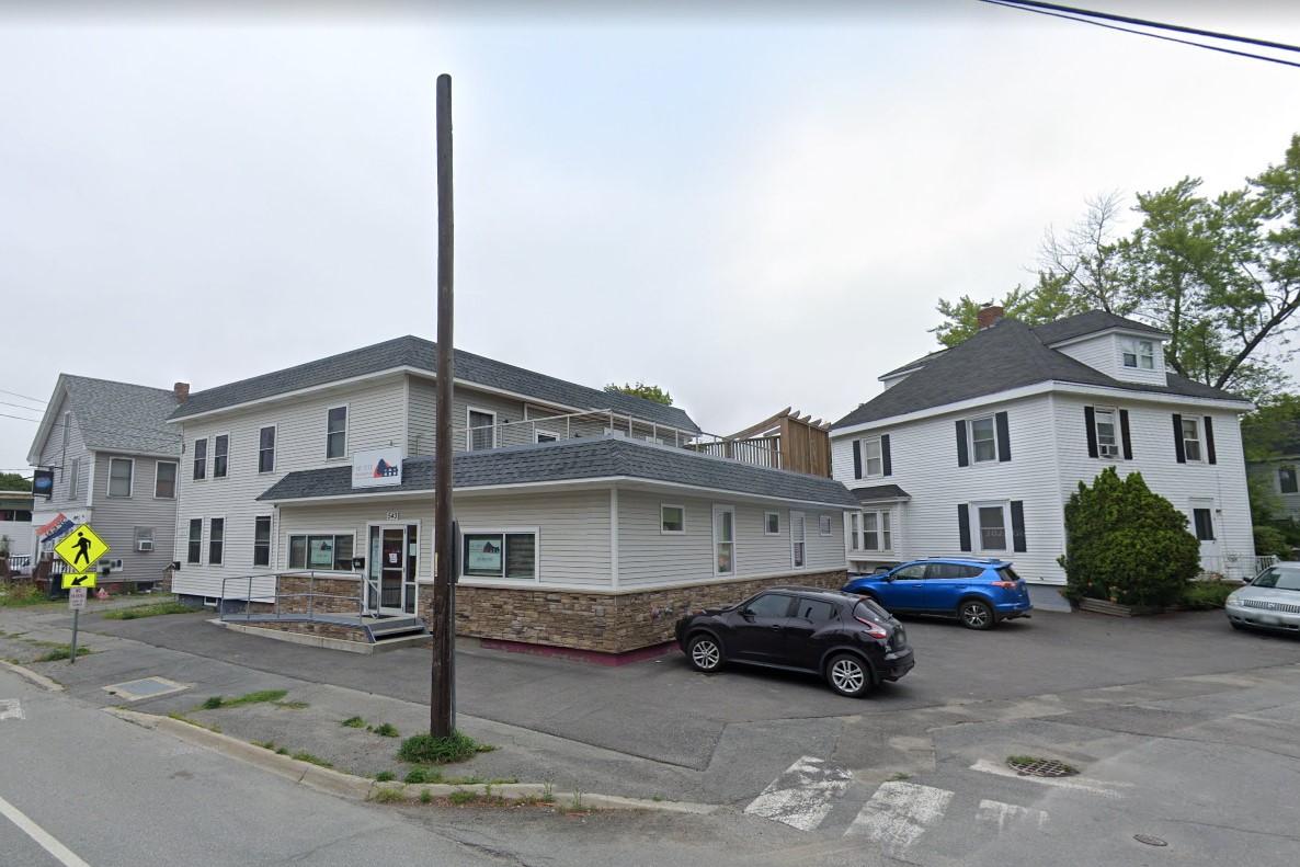
Horizontal wood siding architecture
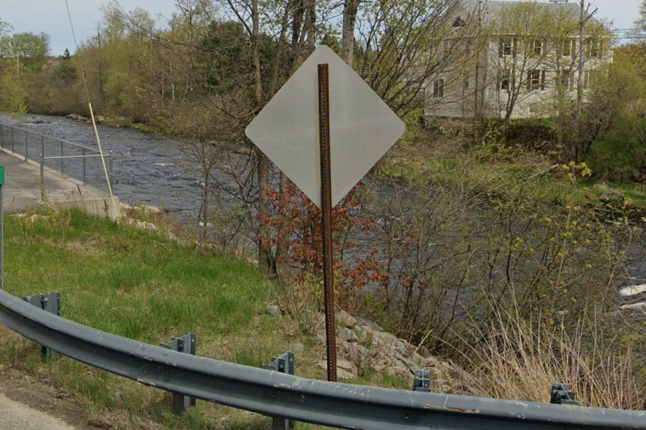
Brown rusty signpost
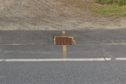
Yellow drain mark
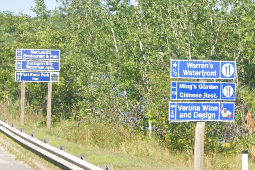
Blue local directional sign
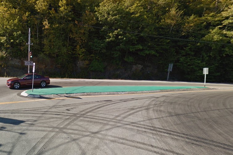
Green intersection island
Snowmobile Access Routes and Maritime Energy are both unique to the state, but also relatively rare.
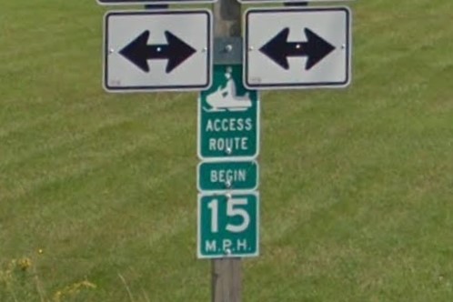
Snowmobile Access Routes
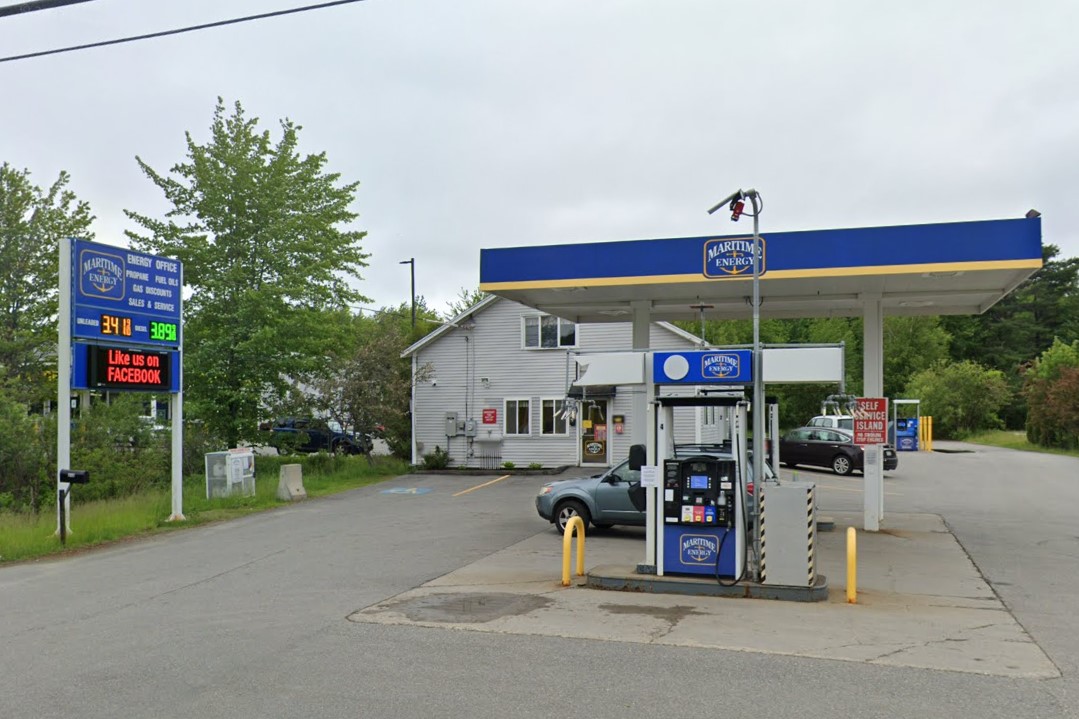
Maritime Energy
Interstates and highways in Maine have a red bollard at the start of guardrails and a green bollard at the end.
Emergency Routes are unique to Maine, and state law signs are red instead of the standard yellow
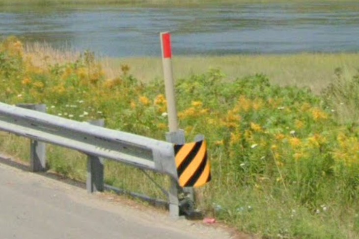
Red bollard at guardrail start
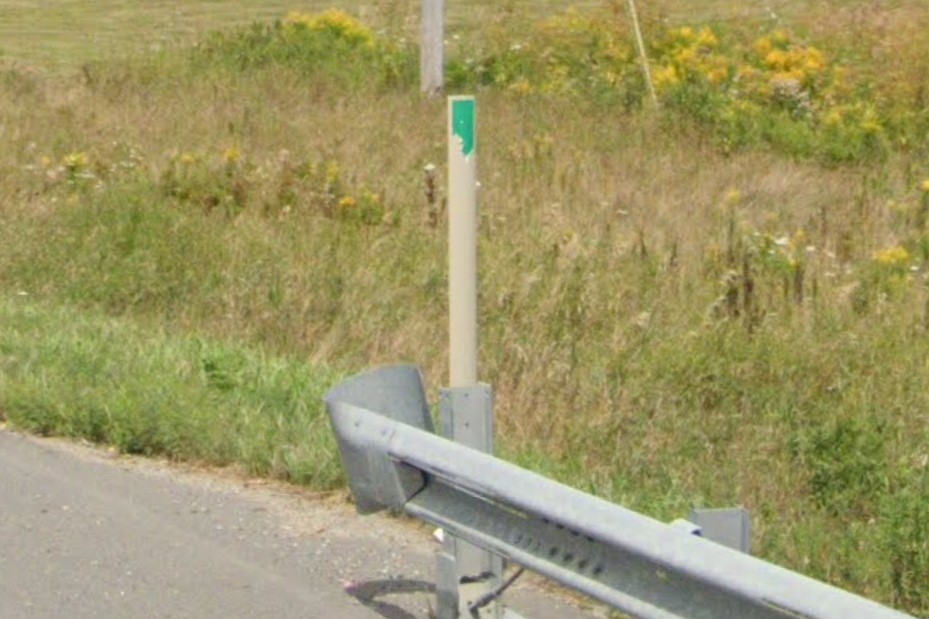
Green bollard at guardrail end
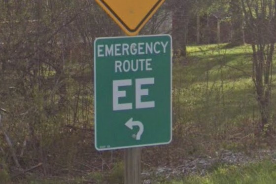
Lettered Emergency Routes
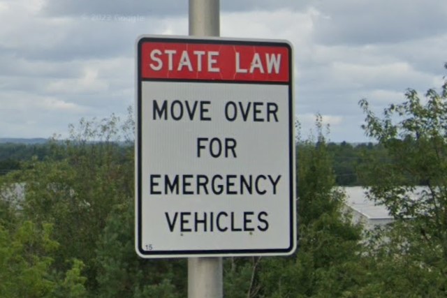
Red state law signs
Several states use a square for symbol state highways.

Connecticut

Maine

Massachusetts
Massachusetts also uses the yellow diamond with yellow reflectors

Maine

Massachusetts
New Hampshire uses the same color scheme for guardrail start and end bollards.

Red bollard at guardrail start
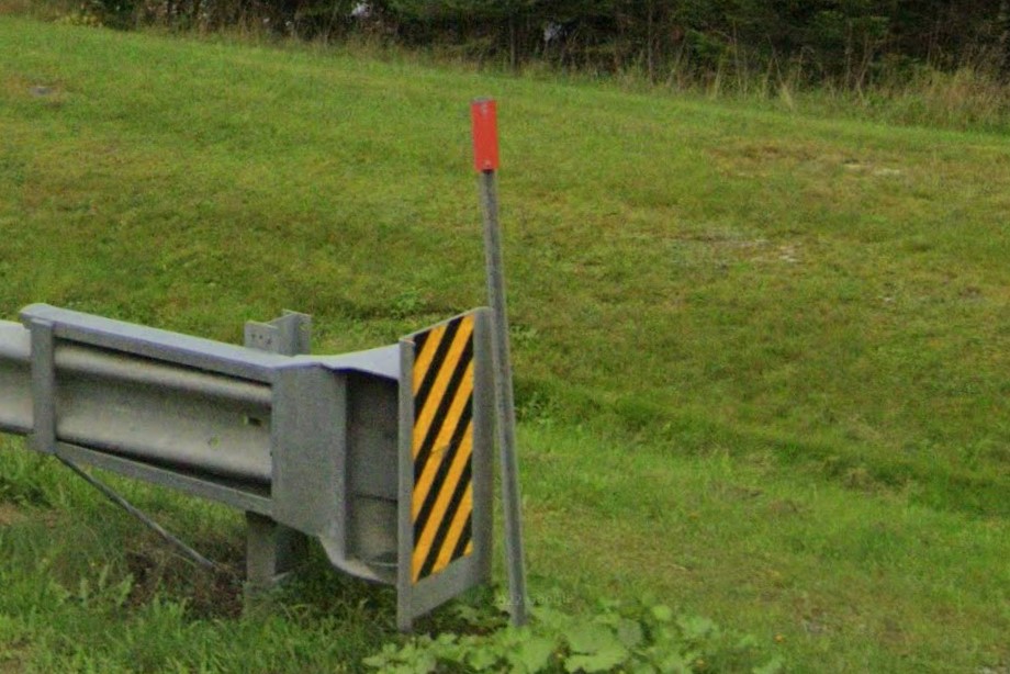
Red bollards at guardrail start

Green bollard at guardrail end
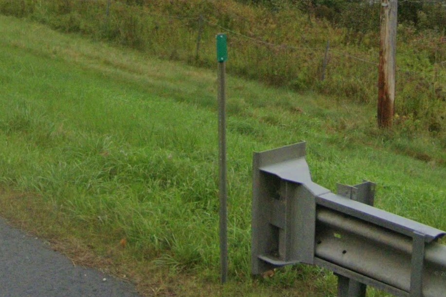
Green bollards at guardrail end
As of 2023, Minnesota has a lot of snow coverage, especially in the southwest. Otherwise, rural Minnesota is basically dairy and soy bean farms.
The standard license plate is a blue & white pattern, but it is a paler blue and appears greener than license plates of other states that use blue & white formats.
Realistically, there are a lot of North Dakota plates in Minnesota, so don't rely on plates alone.
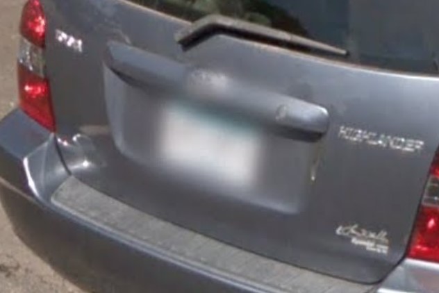
Standard license plate
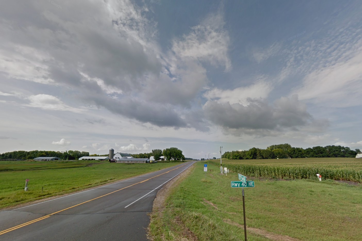
Soy and dairy farms
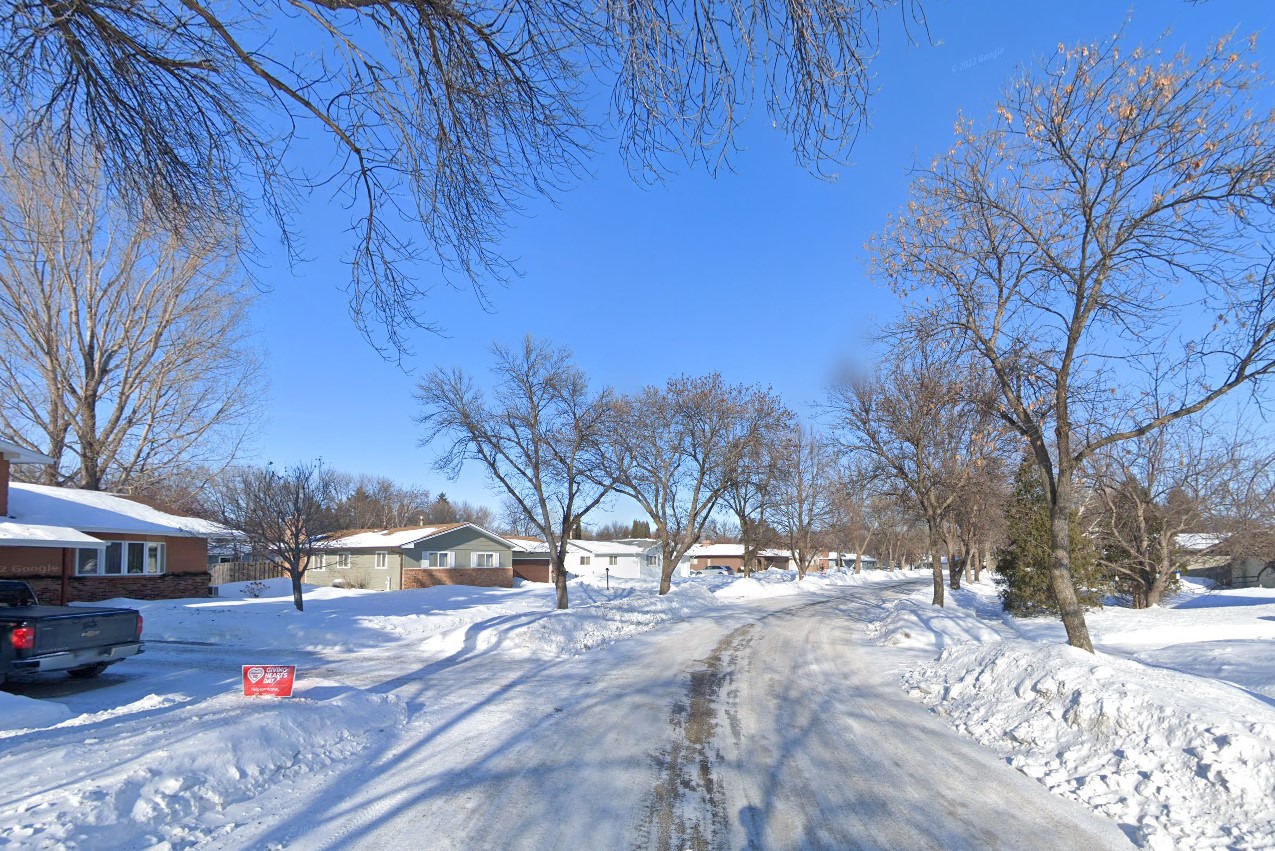
Snow coverage
Minnesota uses black diamond warnings and several unique sign features, including yellow and black banding and diagonal braces on signs.
They rely heavily on brick architecture, and traffic lights are generally on a pole with a diagonal support arm, many of which have a yellow base.
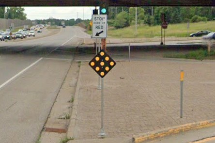
Black diamond warning sign
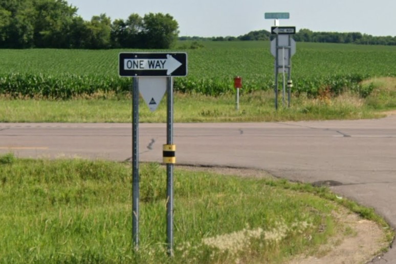
Yellow & black banding
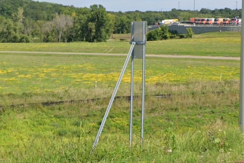
Diagonal braces
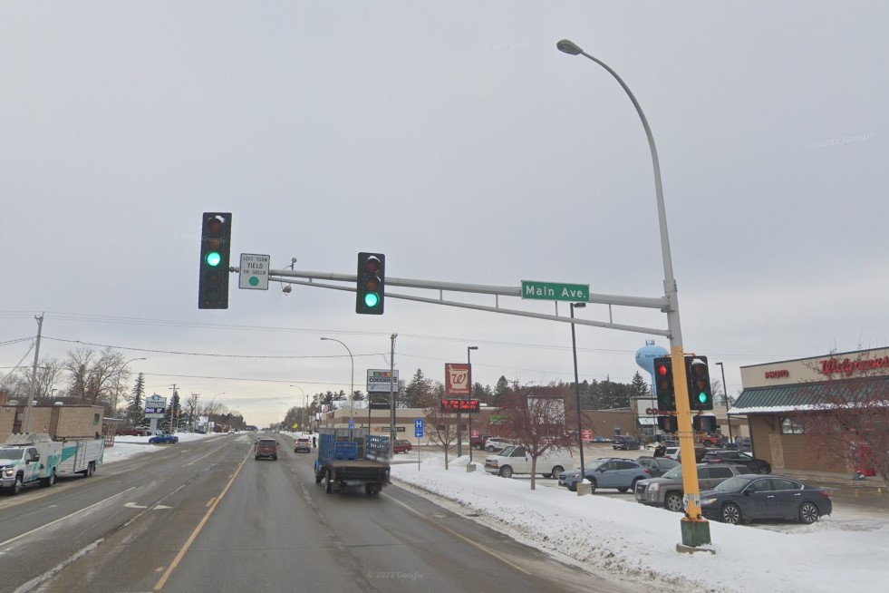
Traffic signal structure
Rural locations in Minnesota can be difficult to distinguish from neighboring Wisconsin and North Dakota.
Minnesota's inter-county highways are unique to the state, but otherwise sign banding and markings may be your only only clues.
The white square county road sign is helpful, but several nearby states use similar signs and some counties use the standard blue pentagon instead.
Colored square stickers behind stop signs can also help determine a location is in Minnesota instead of North Dakota, but they're just as often missing or faded as they are present.
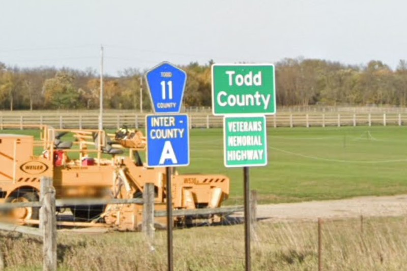
Inter-county highway system
Minnesota
Colored square stickers
Minnesota has several unique bollards, including the yellow & black guardrail bollards.
In
Fargo, these can show you where the interstate leaves
North Dakota and enters Minnesota.
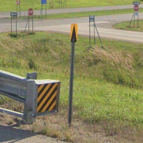
Guardrail start bollard
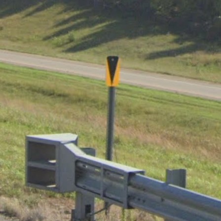
Guardrail end bollard
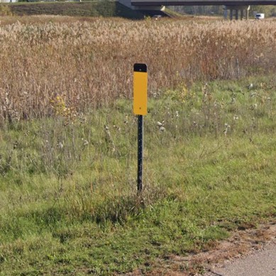
Yellow paddle with black tip

White paddle with black tip
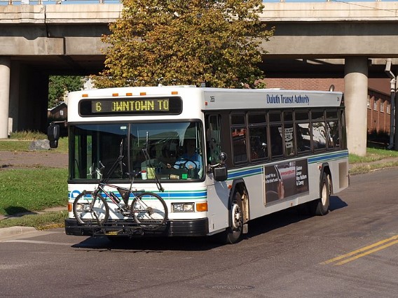
Duluth | DTA
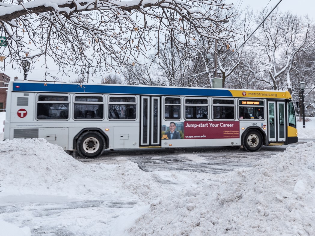
Minneapolis | T Metro
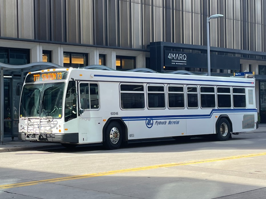
Minneapolis | Plymouth Metro
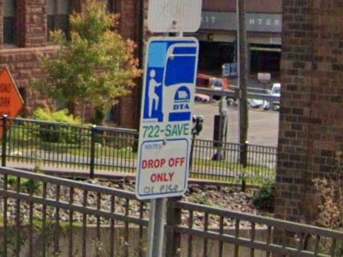
Duluth | DTA
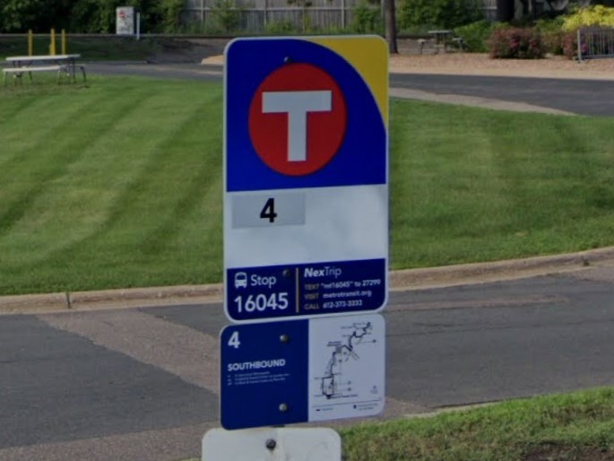
Minneapolis | T Metro
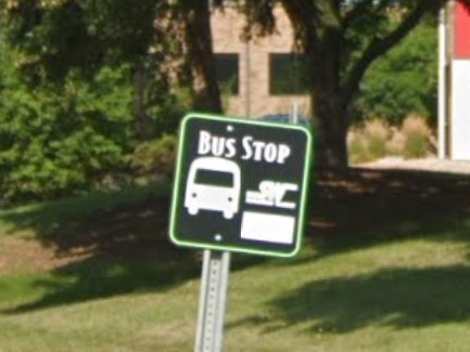
Minneapolis | T Metro
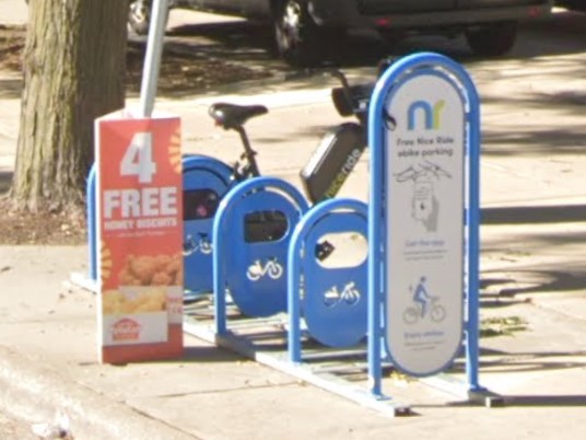
Minneapolis
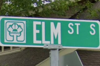
Chaska
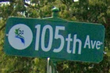
Coon Rapids
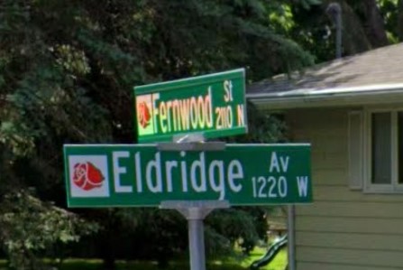
Roseville
Express tollroad signs in Texas have the same color pattern as the Minnesota state highway sign.
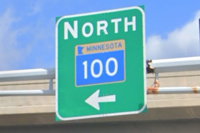
Minnesota state highway
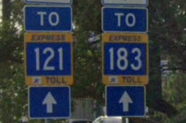
Dallas Express Toll
White square county road signs can also be found occasionally in
South Dakota,
Ohio, and in older coverage of
Michigan, especially in the north and upper peninsula.
It is also used in
Apache County, Arizona, but the landscape of the American southwest is very different from the heavily wooded upper midwest.

Minnesota
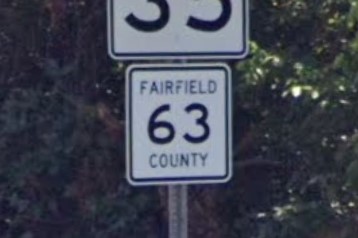
Ohio
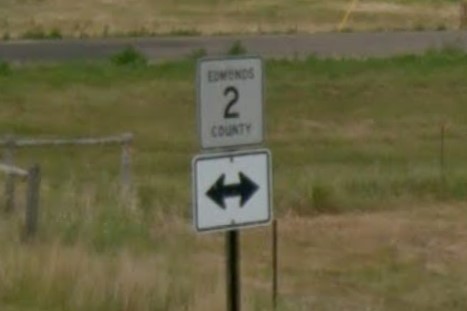
South Dakota
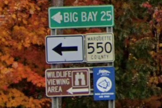
Michigan
White paddle bollards with black tips can also be found in California.

Minnesota

California
Black tipped drainage bollards are also used in North Dakota and Wisconsin, though Wisconsin generally uses a plastic bollard instead of metal.
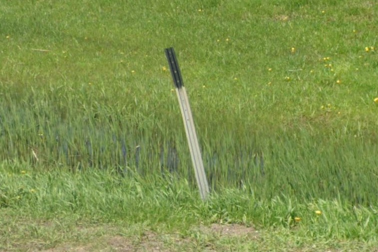
Black tipped drainage bollard
Outside of cities, Mississippi coverage runs along US highway, state, and county roads through loblolly pine and broadleaf forests.
The best ways to identify Mississippi from other southeastern states is either the gold-white-gold pattern of license plates or by the road line configuration on newer paved roads.

Loblolly pine and oak forests
Mississippi 2019 license plate
AL and MS road line comparison
Bridges with concrete barriers, including interstate overpasses, have a green marker with a white number.
At T-junctions, Alabama includes a yellow and black stripe pattern, while Mississippi just displays the arrow.
Instead of stickers, black writing is behind signs, similar to Louisiana and Arkansas.
Keep in mind that the writing is often faded in the sun to the point that it can't be seen in blurry coverage.

Green bridge marker
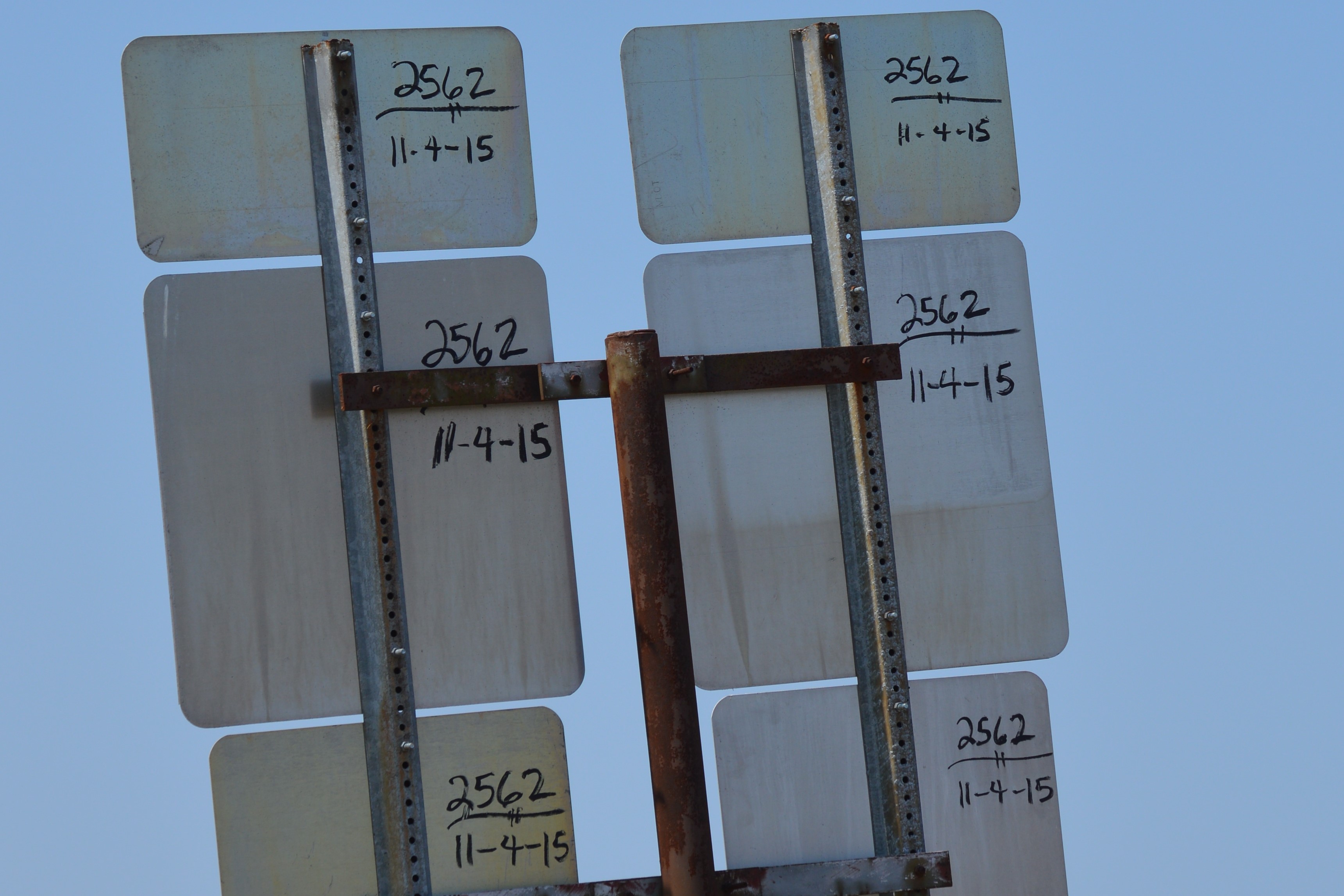
Black writing behind signs
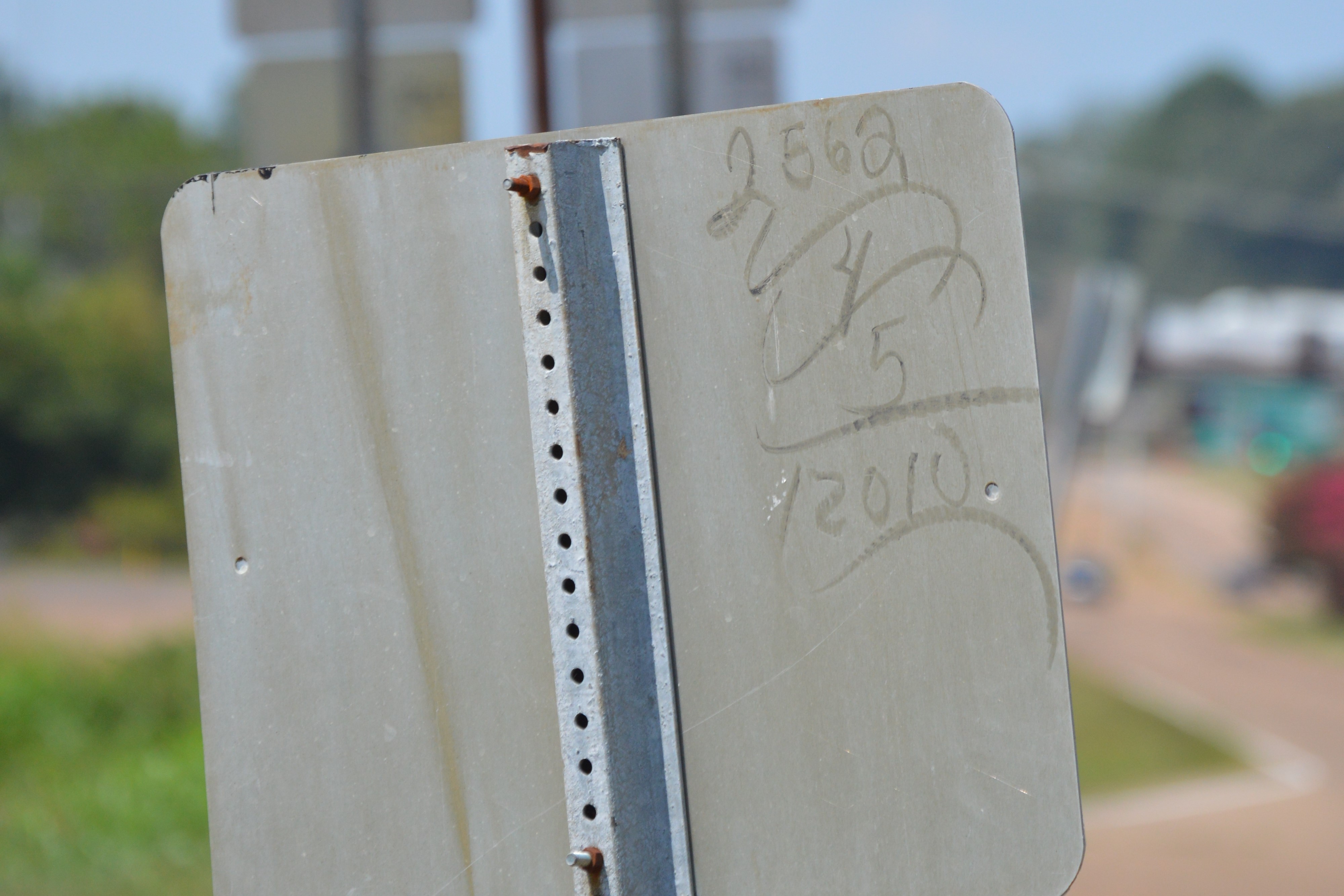
Sun bleached sign writing
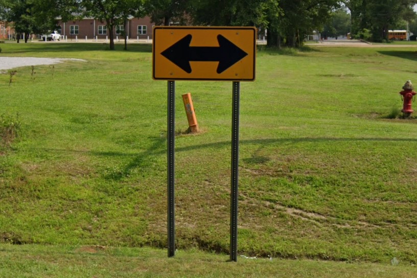
T-Intersection warning in Mississippi

T-Intersection warning in Alabama
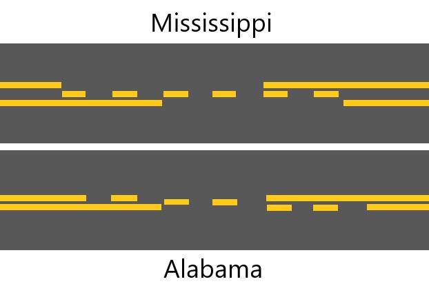
In rural areas, Mississippi can be distinguished from other southeastern states by the yellow center road line pattern.
Most other states use one or two tracks for lines, but Mississippi has three separate tracks, two for solid lines and one for dashed lines.
It is most apparent in the double yellow line configuration which appears wider in Mississippi than in other states.
On split asphalt roads, the split will run through the dashed line with the wide configuration that Mississippi uses, and it will run between the lines in the standard configuration.

AL and MS road line comparison
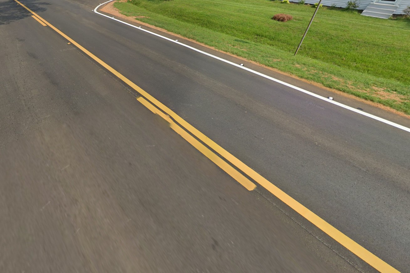
Split running through dashes
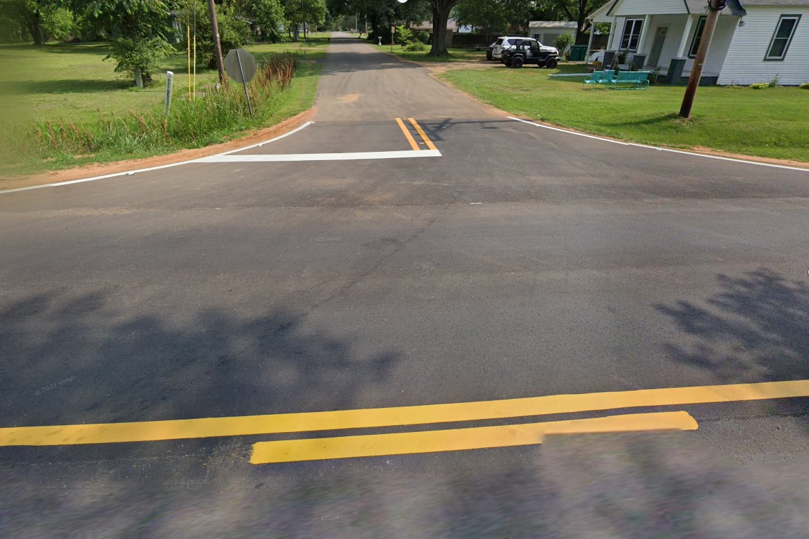
Wider double yellow lines
Mississippi is the only southeastern state that uses diamond bollards, but they are not always present.
Interstate overpasses have green plated bridge markers on supports and concrete barriers.
Mississippi's "Buckle Up" sign is an image of the state in a seatbelt.
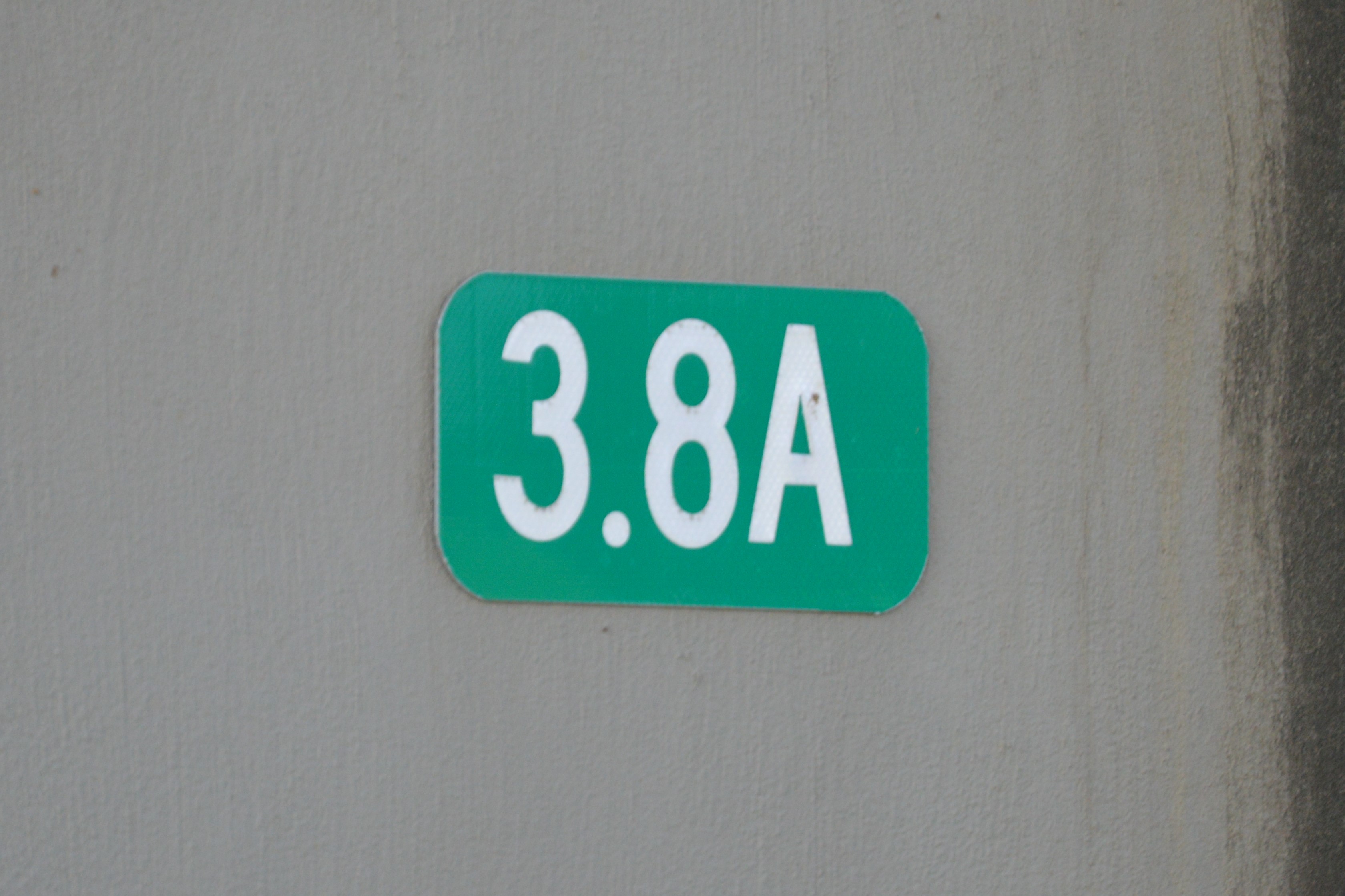
Green markers on columns
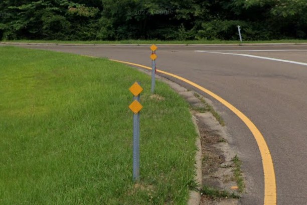
Diamond bollards
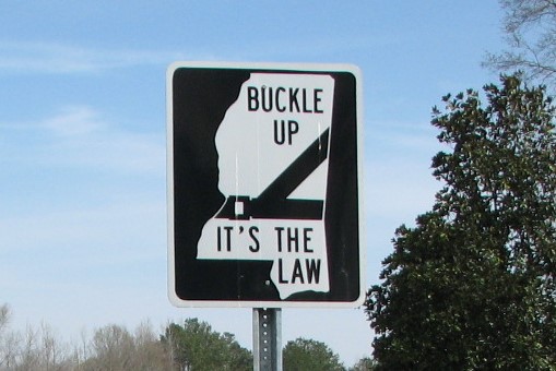
"Buckle Up" sign
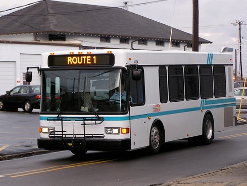
Hattiesburg | HCT
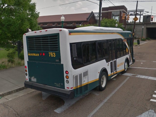
Jackson | JTran
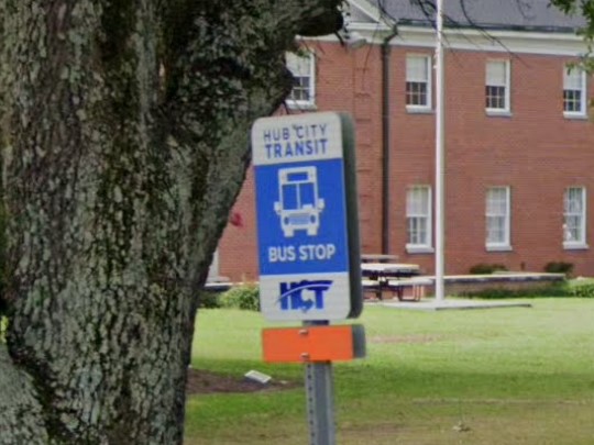
Hattiesburg | HCT
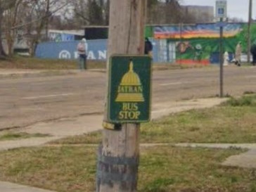
Jackson | JTran
As of 2022, Mississippi and Alabama both have a gold-colored standard license plate.

Mississippi 2019 license plate

Alabama 2022 license plate
Connecticut also marks bridges with white numbers on green plates.

Mississippi

Connecticut
Mississippi is one of several states that uses a circle to mark state highways.

Mississippi

Delaware

Iowa

Kentucky

New Jersey

Virginia
Thanks to HWY63Guessr for "Buckle Up" sign location
The east end of Montana is a dry grassy plains with the occasional rocky bumps and rolling hills.
Most official coverage is on the interstate and US highways, both of which use diamond bollards.
Very few state highways have official coverage in this region (yet), but coverage is the blurry gen 1 potato cam and a small black antenna is visible on the Google car.
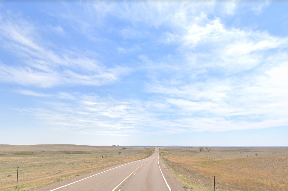
Grassy plains on the east side
White diamond bollards
Gen 1 car with black antenna
Montana has several different standard license plates, but the solid blue one is the most recognizeable.
It has a single state-wide area code, 406, and state signs use large rectangular stickers with various bright colors.
You'll find stickers that are red, orange, yellow, blue, and green, but rarely if ever just plain white.
Solid blue license plates
406 Area Code
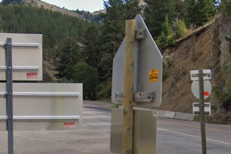
Large stickers with vibrant colors
T-intersection warning signs are in the process of being updated, so you may find one of several different types.
In older coverage, they are marked anywhere from nothing to a bunch of chevrons, but in newer coverage, they more consistently have a warning with black stripes around the arrow.
Many advertisement boards are owned by Dakota company, which only shows up in Montana and North Dakota.
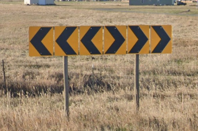
T-intersection sign, older coverage
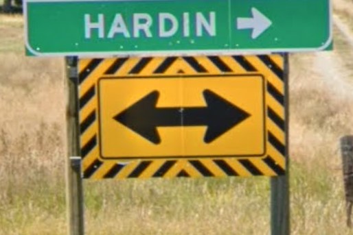
T-intersection sign, newer coverage
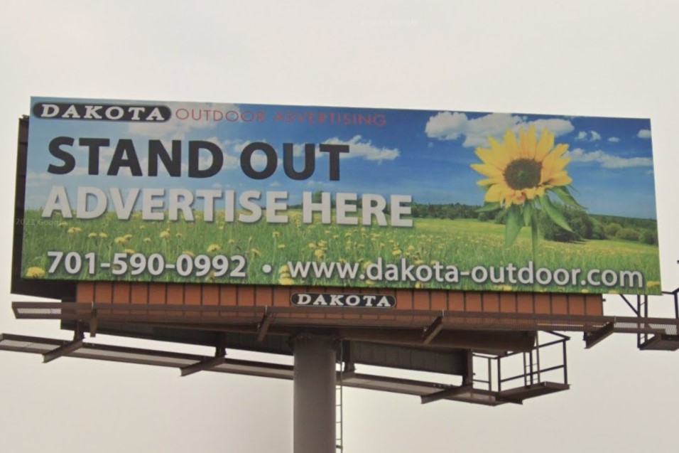
Dakota company billboards
West of Great Falls and Bozeman, the terrain becomes mountainous and the scenery shifts to pine forests.
Highways still use diamond bollards, but the gap between the yellow lines widens for a potential middle rumble strips, though not every road has the actual strip.
US Highway 12 runs along West Fork Lolo Creek through the mountains.
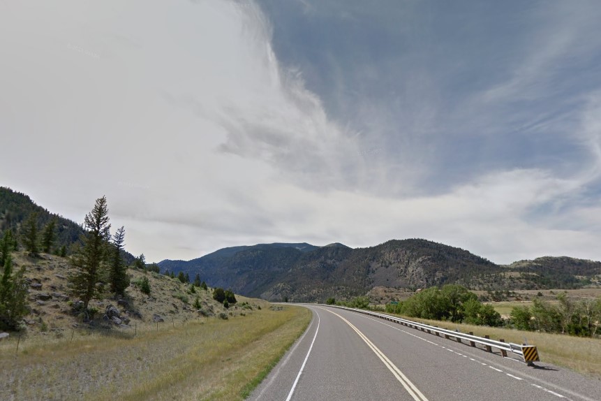
Exposed rock / sparse pines in the west
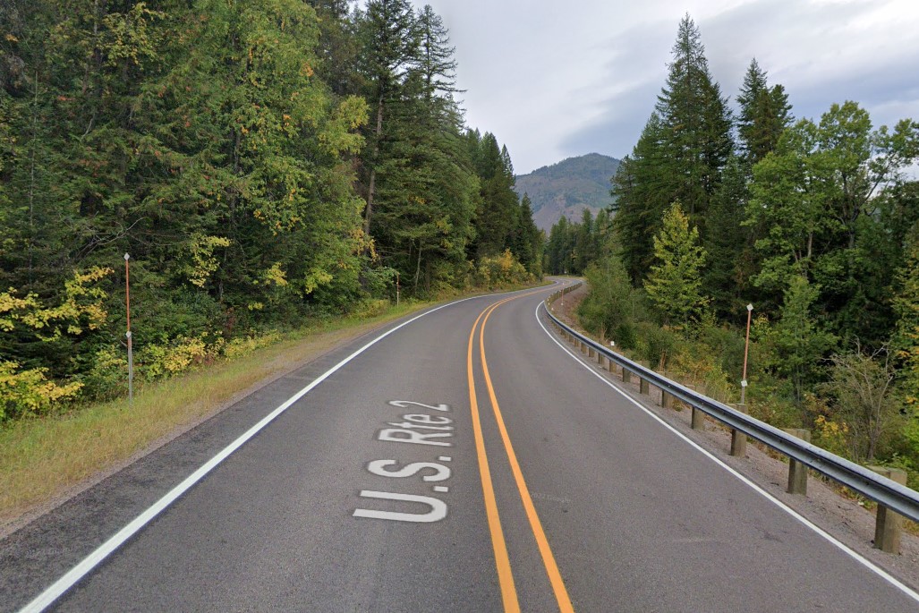
Stacked bollards and wider center lines
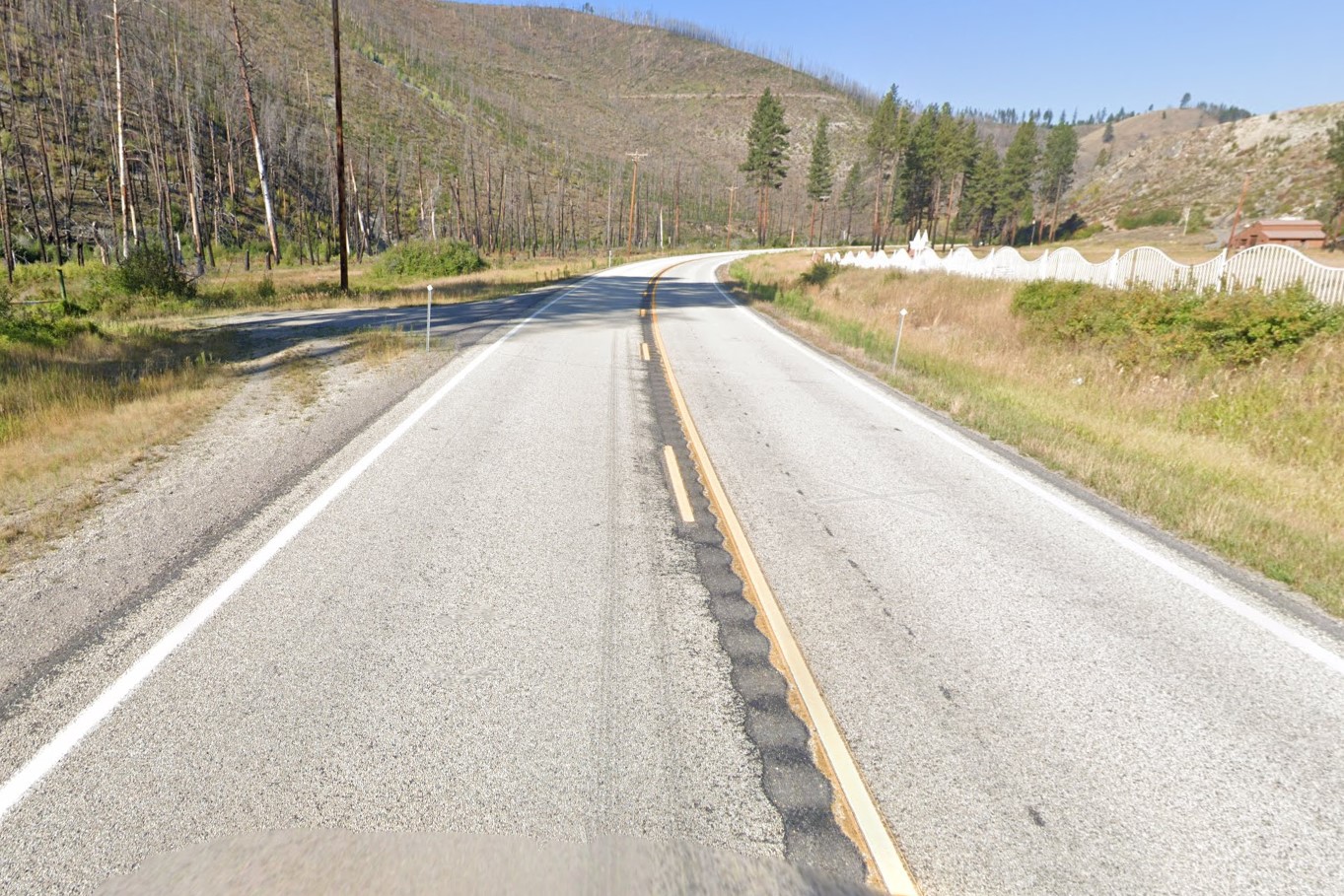
Rumbles between the yellow lines
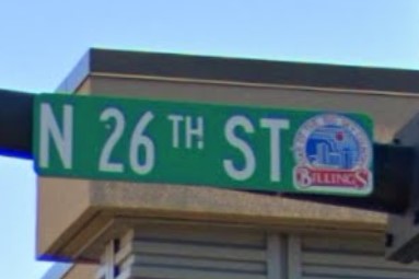
Billings
Tennessee also has a standard solid blue license plate.

Montana
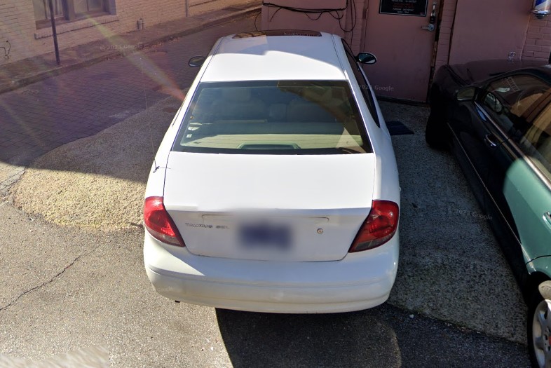
Tennessee
North Dakota also uses diamond bollards but its geography is relatively flat.
Idaho uses white square bollards, but they are sometimes tilted to look like diamonds.

Idaho

Montana
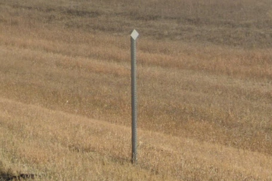
North Dakota
North Dakota is a very flat state, with rolling hills from one end to the other and snow coverage on the east side.
The blue & white standard license plate can look like the Wyoming plate, but the two states have very different terrain.
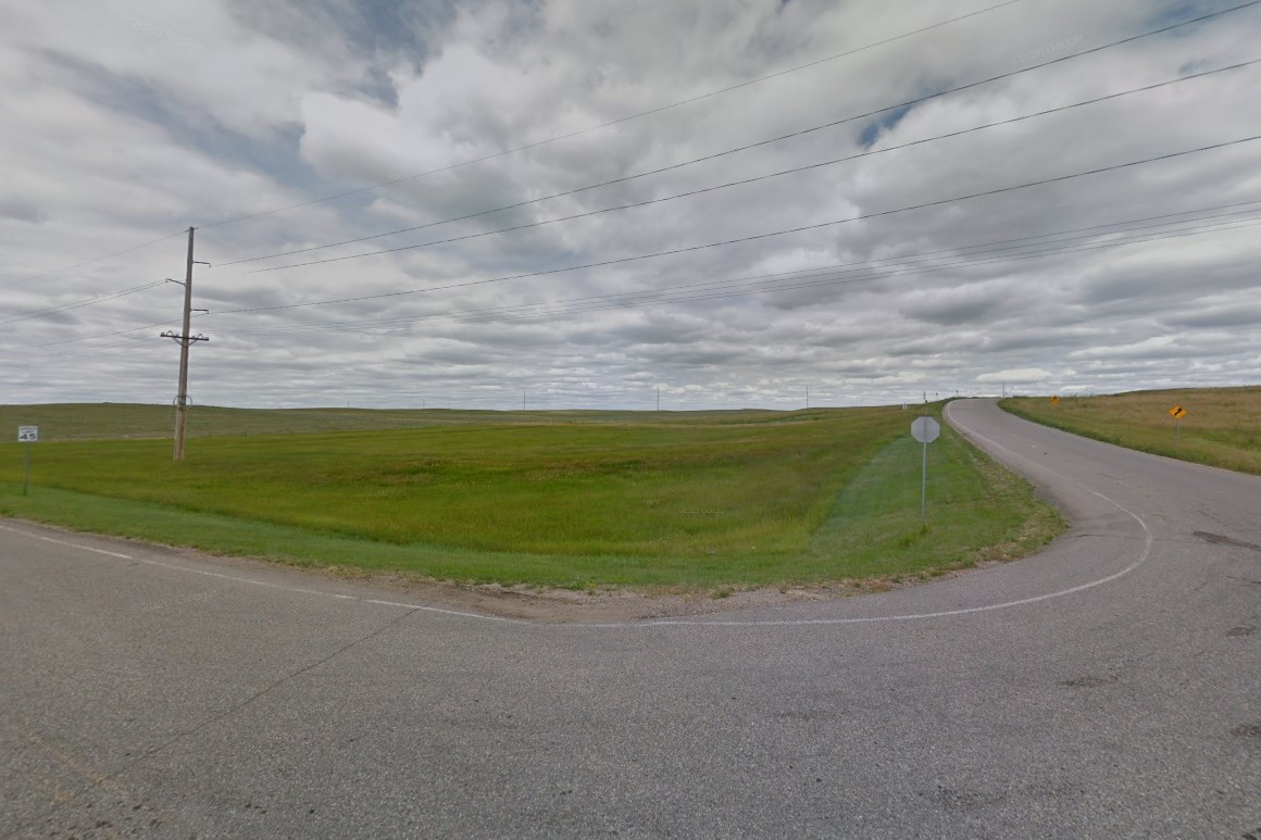
Green rolling hills on the west side
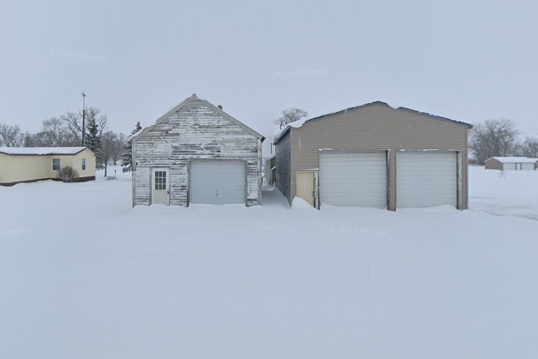
Snow coverage on the east side
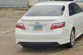
Standard license plate
It uses the single statewide area code, 701, and the advertising company "Dakota" can be found both here and in Montana.
Many important signs and bollards have one or more ring structures on the post, and state-owned stop signs have a sticker with a number on the back.
It is also the only state that marks county roads with "Cty" on street signs, but it's not very common.
701 Area Code

Dakota company billboards
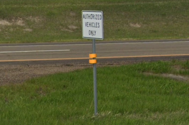
White or yellow ring markers

Number sticker on stop sign
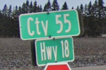
County road marked "Cty"
North Dakota has a lot of small towns with wide main roads that may or may not be marked with road lines.
Some of the major intersections use yellow posts, and traffic lights have one or two stiff arms leading to a curved lamp on top.
Dickinson, in particular, has a lot of intersections with yellow posts.
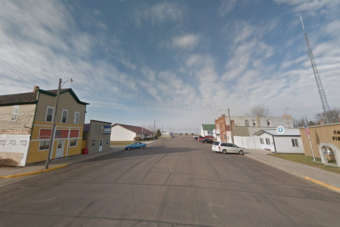
Small towns with wide roads
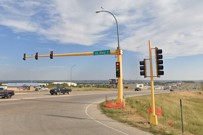
Major intersections marked yellow
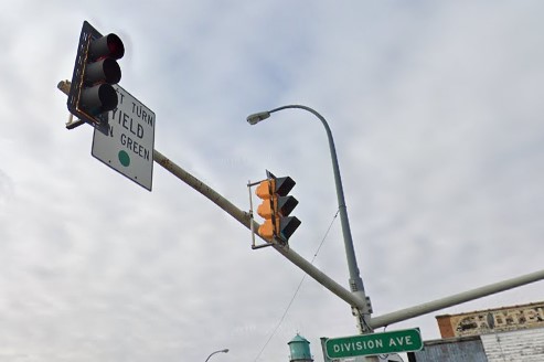
Traffic signal and lamp
Interstates in North Dakota are marked by white and yellow diamond bollards.
Guardrails are marked by an orange bollard with a yellow flag at the start and an orange bollard with a white flag at the end.
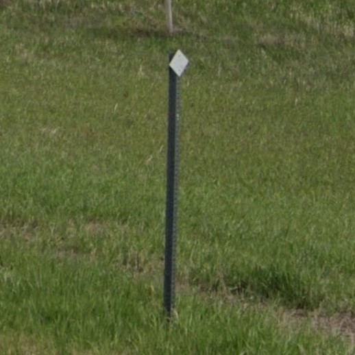
Diamond bollard
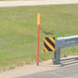
Guardrail start
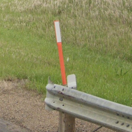
Guardrail end
The standard North Dakota license plate looks similar to one of the two Nevada standard plates.

North Dakota
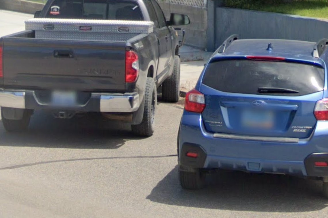
Nevada
Black tipped drainage bollards are also used in Minnesota and Wisconsin, though Wisconsin generally uses plastic instead of metal.
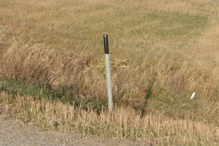
Black tipped drainage bollard
Utah has similar orange bollards, but it's not used to mark guardrails.
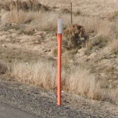
Utah

North Dakota
Alaska and Indiana also put numbered stickers behind stop signs.

North Dakota

Alaska

Indiana
Yellow poles at intersections can also be found in several other states, notably Iowa

Williston, ND
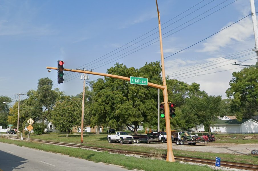
Mason City, IA
Nebraska has two primary license plates: 402 in roughly the populated east end and 308 in the unpopulated west.
They updated their primary license plate in 2023, so older coverage may have the 2017 or even 2011 standard plate.
The yellow diamond sign that says "Prepare to Stop When Flashing" with a pair of lights on top is unique to Nebraska.
2011 license plate
2017 license plate
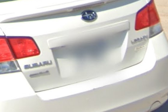
2023 license plate
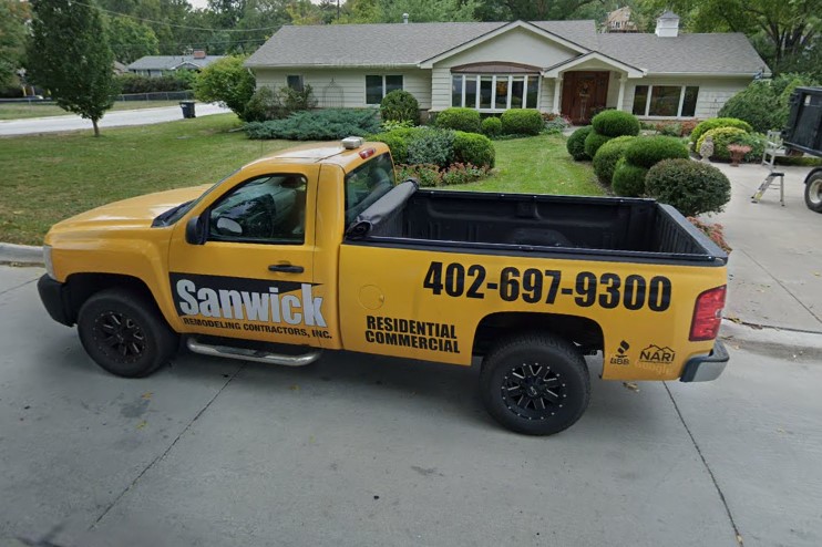
402 in Omaha
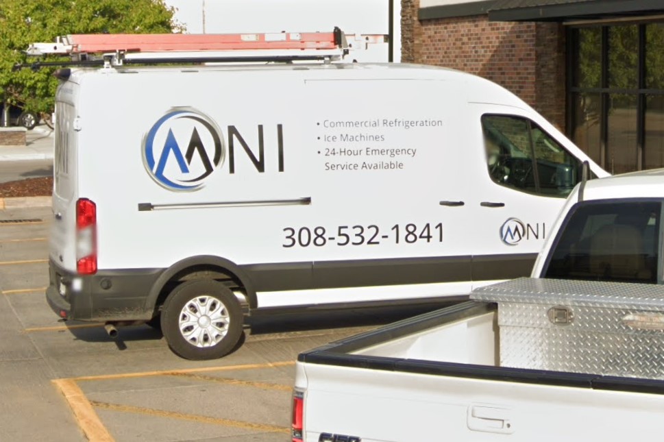
308 in North Platte
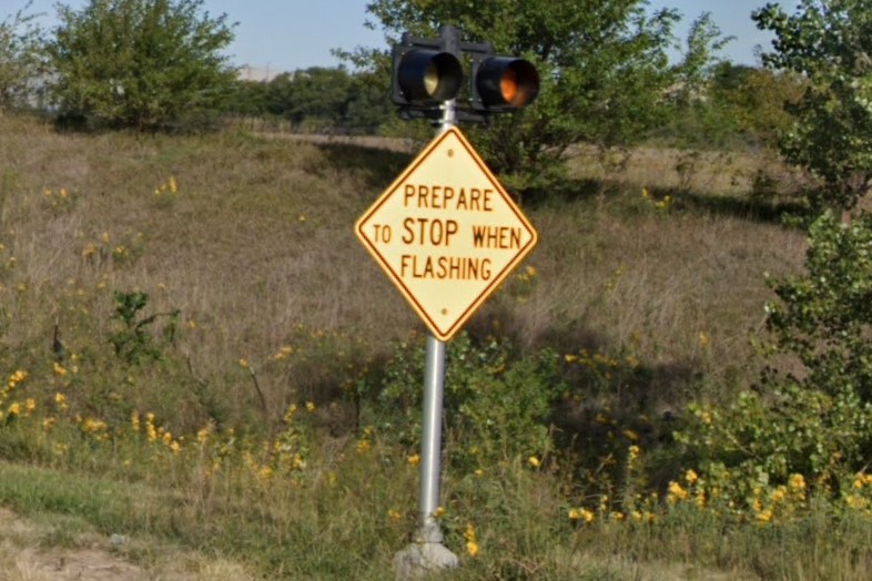
Prepare to Stop When Flashing
Highways are marked with either flat yellow bollards or white circle bollards.
Important signs have a single white reflector on either or both sides of the post.
Warning diamonds are either plain yellow or black with yellow reflectors and state highways post green distance markers every mile.
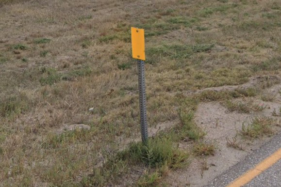
Flat yellow bollard
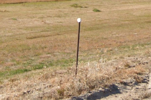
White circle bollard
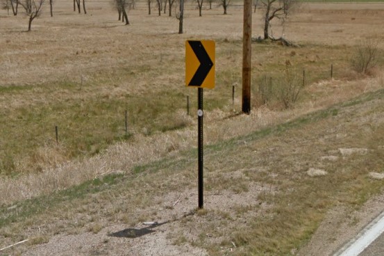
White reflector on signpost
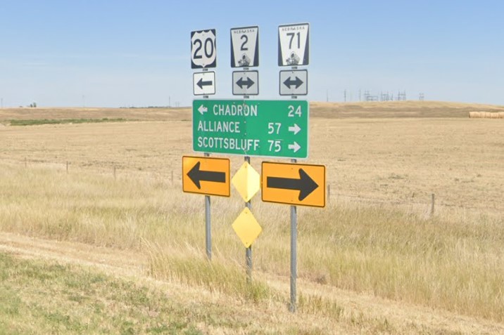
Yellow diamonds
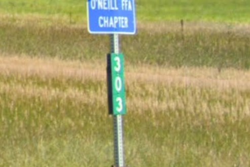
Green distance marker
Black diamond with yellow reflectors
On interstate highways, black and yellow warning stripe signs are wider than standard.
On state and US highways, it has a thin yellow border.
Bridge crossings are marked with a number on a green plate, usually attached to the post of a warning stripe sign, and drainage is marked by a flat plate with three reflectors, either yellow or blue.
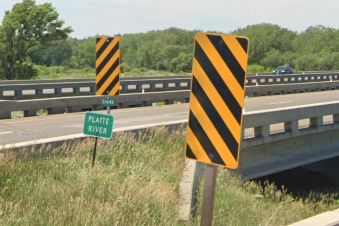
Wide warning stripes sign
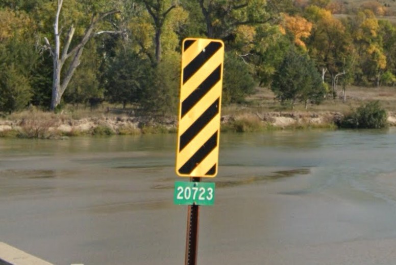
Bridge marker & yellow border on stripes
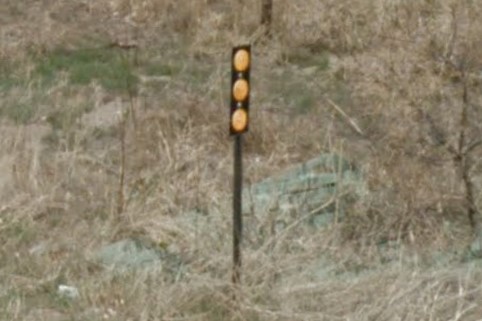
Drainage marker
Nebraska's geography looks similar to the other midwestern plains states, especially
Kansas.
Most of the population lives in the east, where you can find both
Lincoln and
Omaha.
Both cities are grid-based and make heavy use of concrete instead of asphalt for major thoroughfares.
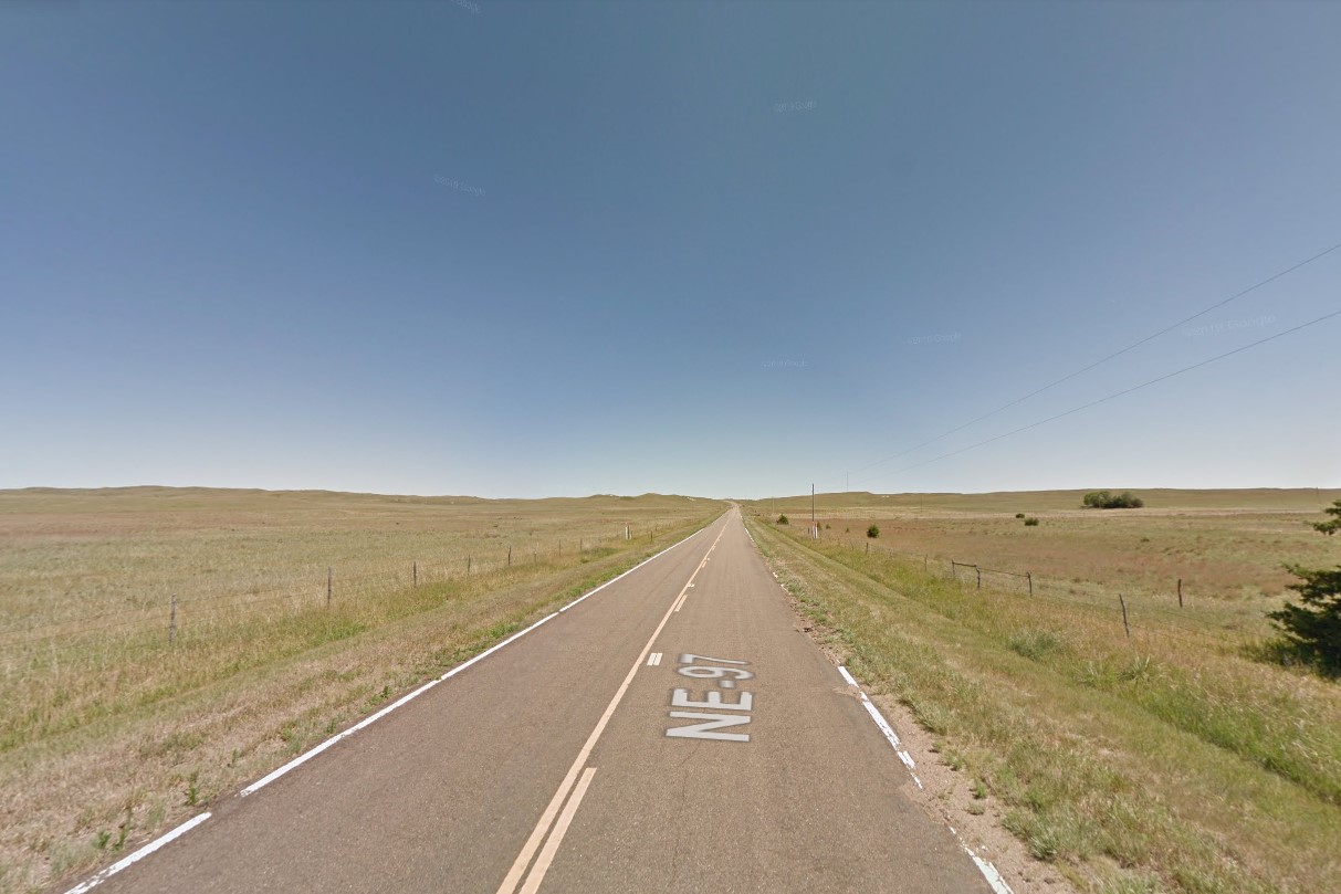
Rolling grasslands
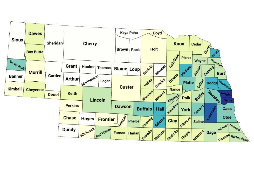
Population density map
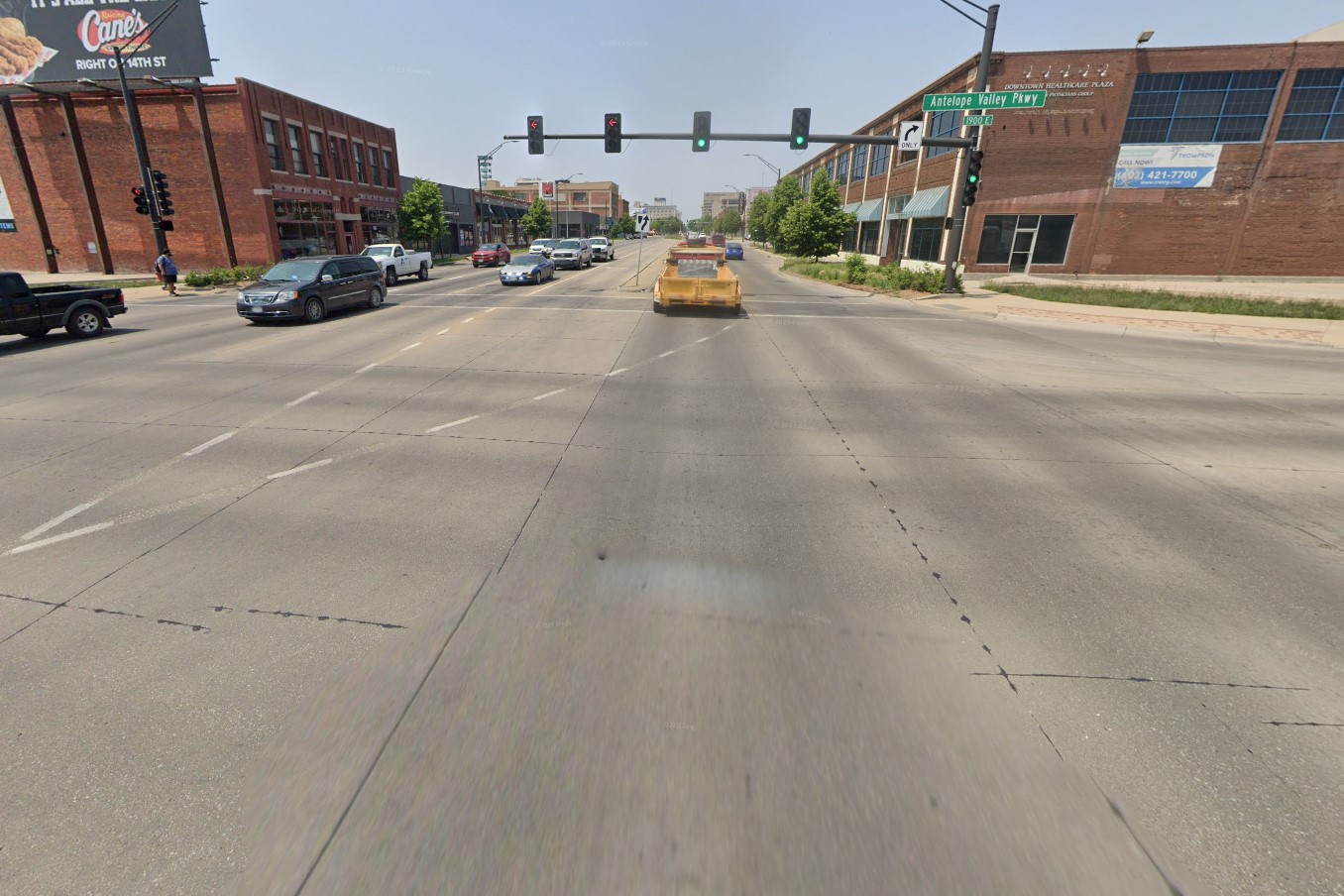
Concrete for major roads
The east end has more trees and is scattered with small towns, many based around railways.
The middle to west end are the stereotypical rolling grasslands and occasional farm.
County roads and smaller designation roads are often made of gravel or dirt.
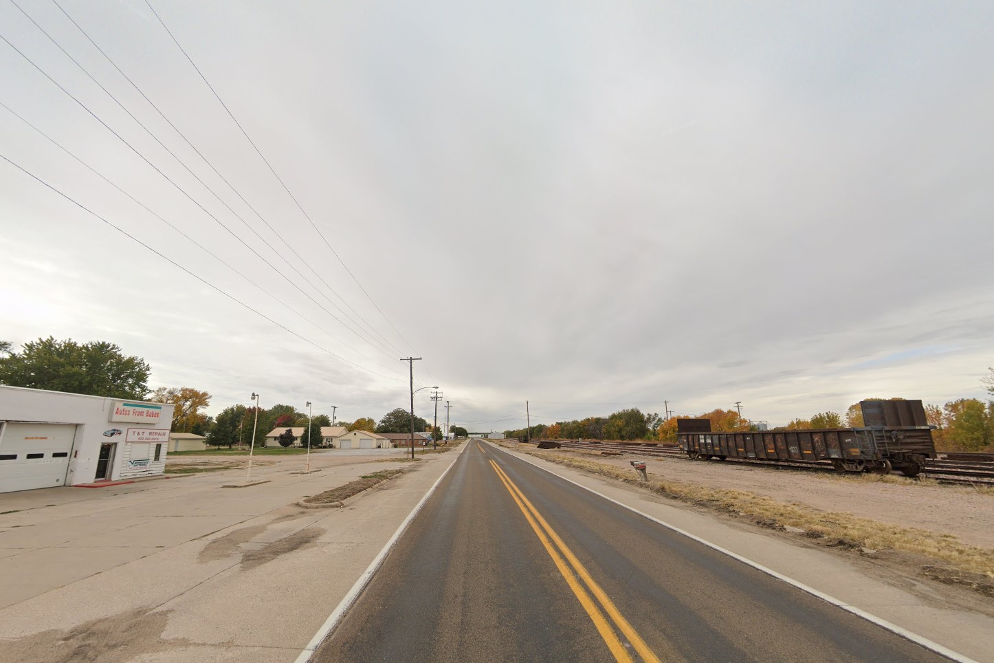
Small railway town
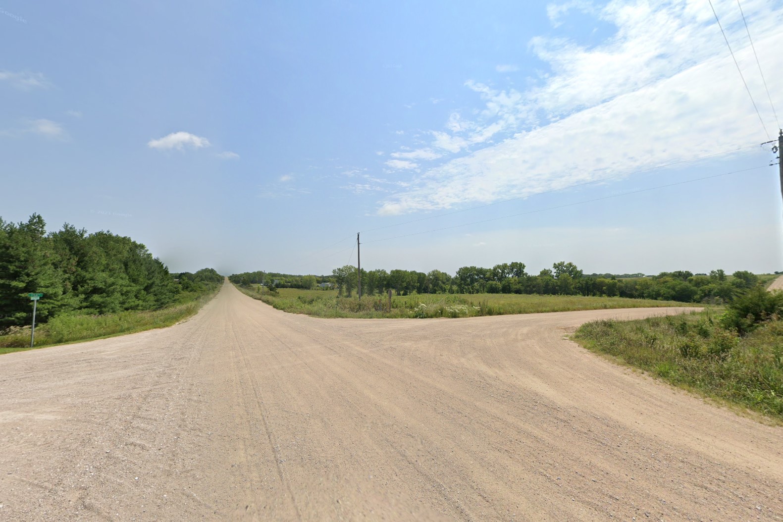
Unpaved county roads
Nebraska's interstate highway system is made of concrete near the major cities, but is made from asphalt across the plains.
They use a unique mile marker that inverts the green & white colors for the fractional distance.
Bollards are white, but can be either plastic or metal.
Unlike Mississippi, the bridge marker doesn't always appear on the columns below an interstate overpass, but will always be listed on the bridge above.
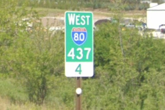
Nebraska mile marker

Rebar bollards
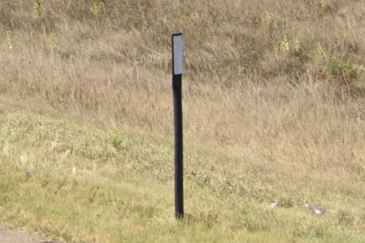
Black plastic bollards
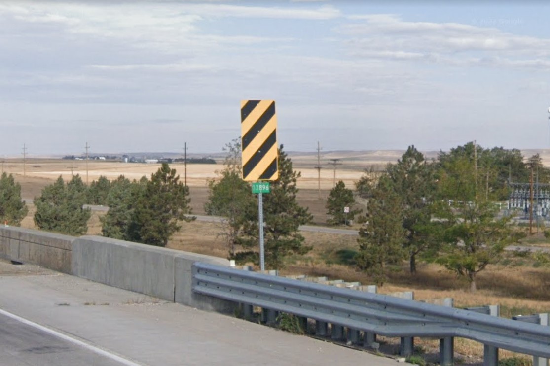
Interstate overpass bridge marker
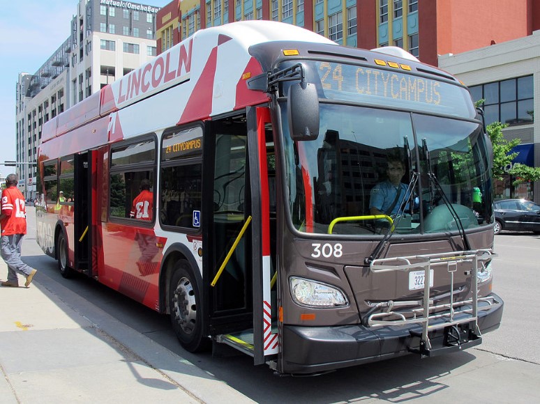
Lincoln | Startran
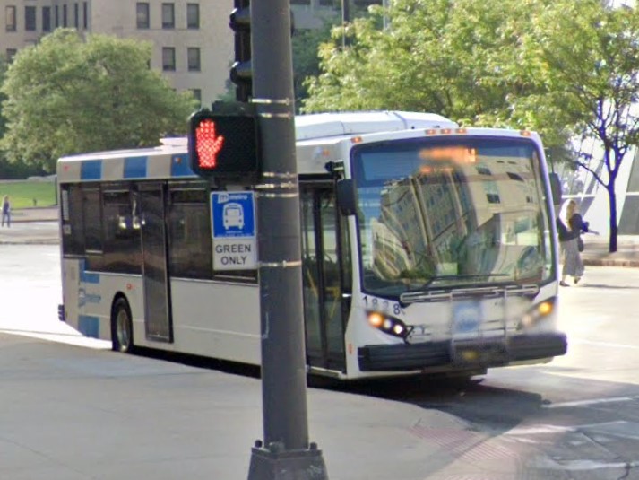
Omaha | metro
Lincoln | Startran
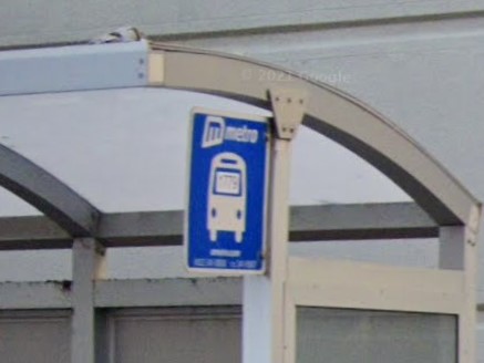
Omaha | metro
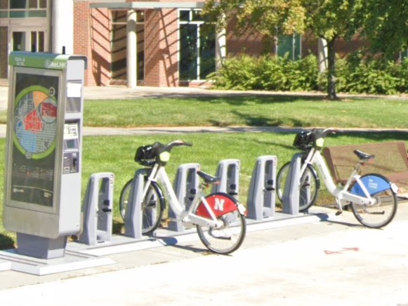
Lincoln
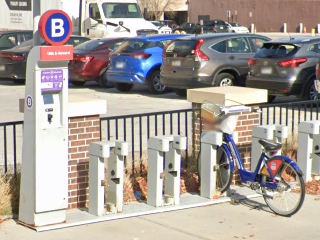
Omaha
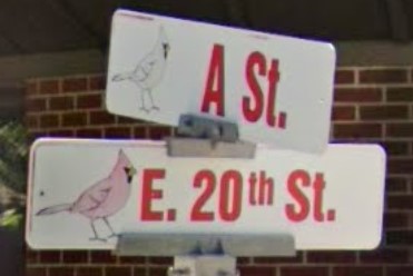
South Sioux City
Minnesota also uses black diamonds with yellow reflectors.

Black diamond with yellow reflectors

Minnesota
New Hampshire is covered with pine and birch forests, and 1-2 story buildings with wood siding and brick chimneys are fairly common, even in moreso rural areas.
The standard license plate looks a pale green, and is easily confused with neighboring Maine, but the windshield sticker is unique.
It also has a state-wide area code, 603.
Typical New England architecture

Windshield sticker and standard plate
603 Area Code
Highways are regularly marked with rectangular white bollards, and you will often see mossy rock outcroppings.
Guardrails are marked by red bollards at the start and green bollards at the end.
Both US highways and interstate freeways have mile markers unique to the state.
White bollards
Mossy rocky outcroppings

Red bollards at guardrail start

Green bollards at guardrail end
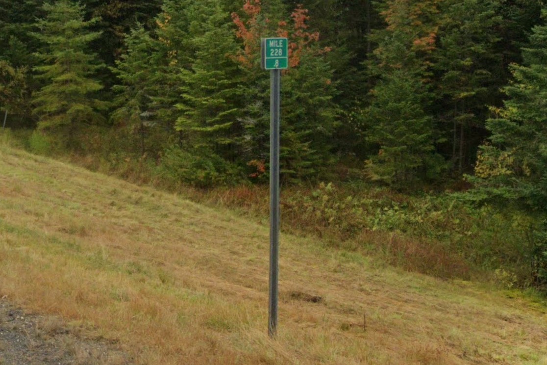
US highway mile markers
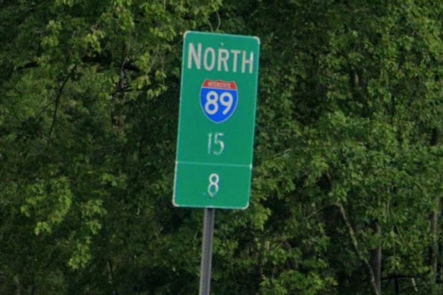
Interstate mile markers
ATV routes and the "Brake for Moose" sign can be found in both New Hampshire and Maine
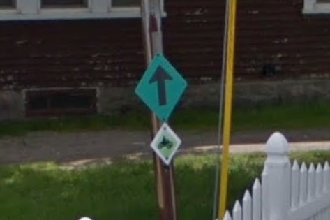
ATV Routes
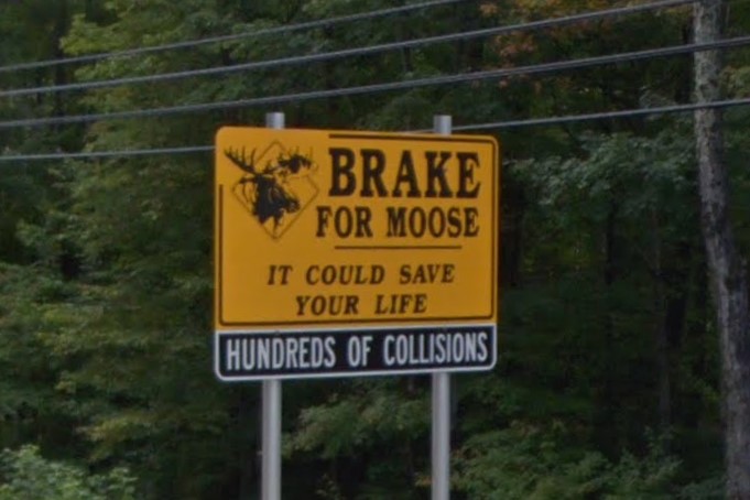
Brake for Moose sign
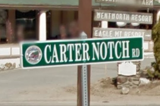
Jackson
Wisconsin also has ATV routes.

New Hampshire
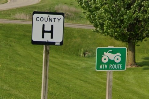
Wisconsin
Maine uses the same color scheme for guardrail start and end bollards.

New Hampshire guardrail start

Maine guardrail start

New Hampshire guardrail end

Maine guardrail end
Thanks to Blinko for information about Brake for Moose sign
The central part of New Jersey is wooded or marshlands.
In autumn and winter coverage, green junipers stand out agains the otherwise leafless trees.
There are plenty of small towns scattered around the center, but most of the urbanized areas are toward the state's border.
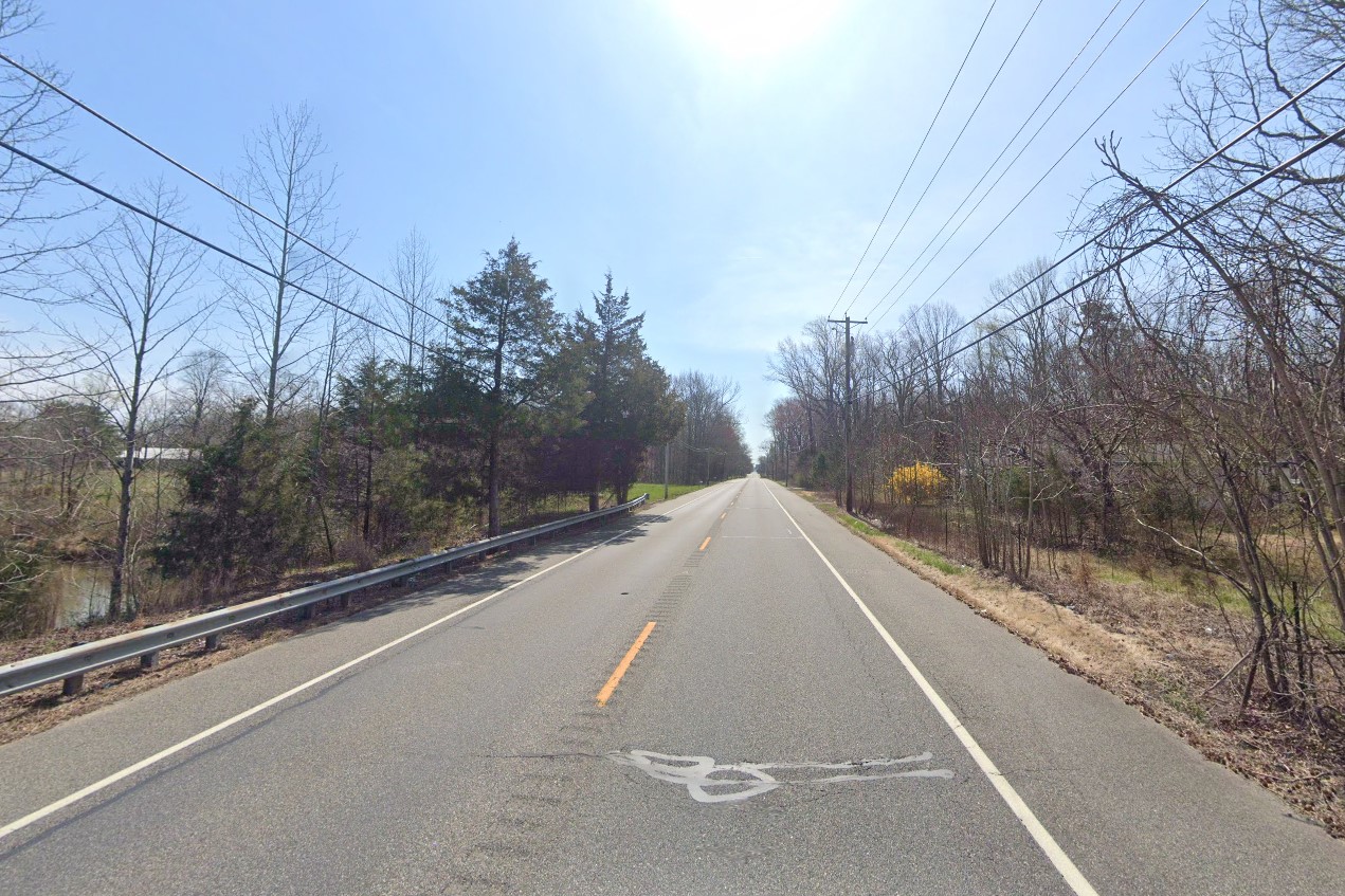
Inland New Jersey
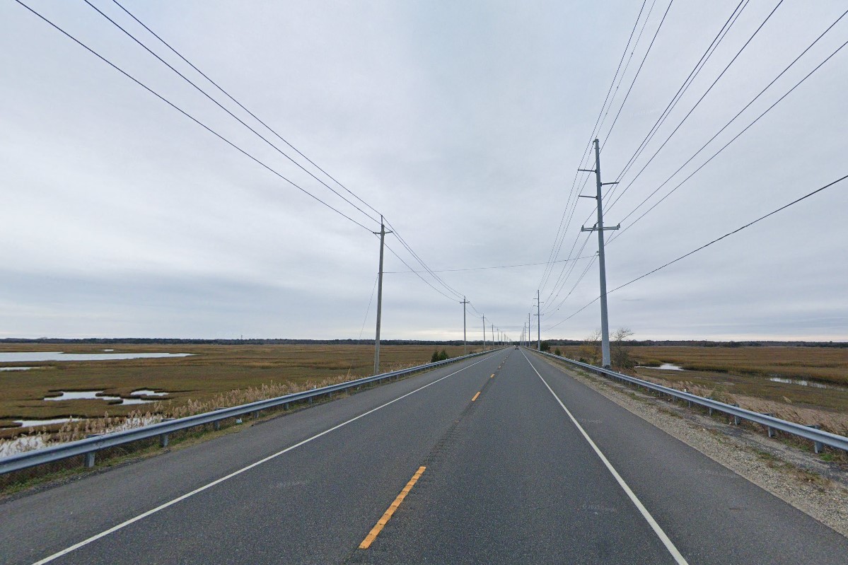
Marshlands
Passenger vehicles registered in New Jersey require a registration sticker and a pale yellow license plate on both front and back.
Both of New Jersey's biggest cities are shared with neighboring states:
Trenton is on the east side of
Philadelphia, and
Newark makes up the western end of
New York City.
Vehicles with either state license plate can be found on both sides of the state border.
Another exception is state or muncipal vehicles, which have blue plates.
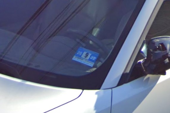
NJ Registration sticker
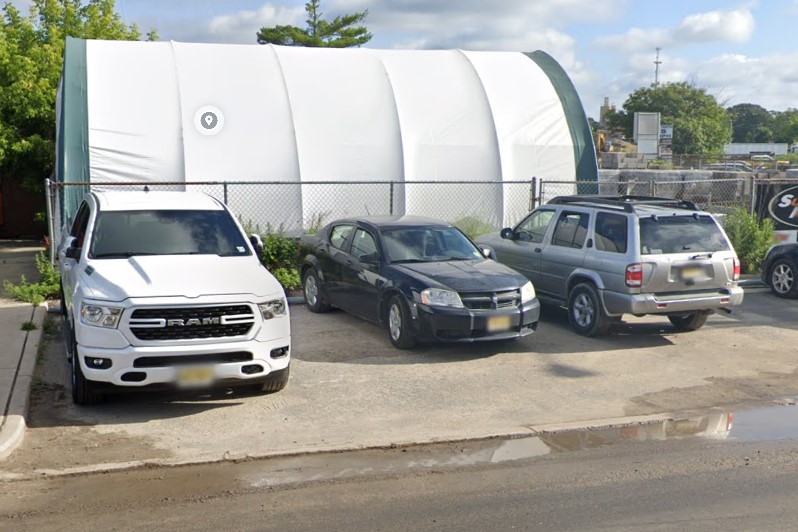
Yellow license plates
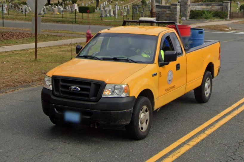
Blue muncipal plates
On state and county roads, mile markers and street name signs generally use a symbol instead of spelling out "state road" or "county road".
Many of these roads have rumble strips down the middle, and all county roads are numbered between 500 and 799.
County roads with numbers higher or lower than that range are not in New Jersey.
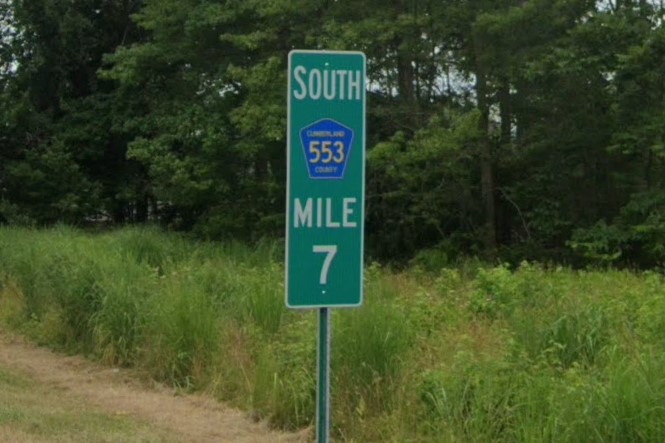
County road mile marker
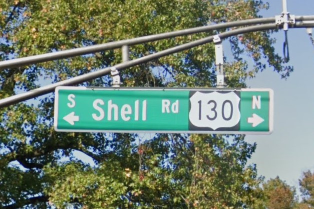
US highway street sign
New Jersey uses a short arm pole for traffic signals, so look in intersections for these distinct structures that won't appear on the other side of the state border.
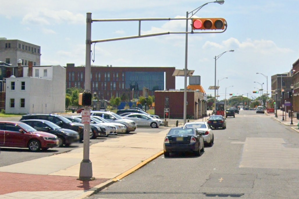
Short arm pole and horizontal light
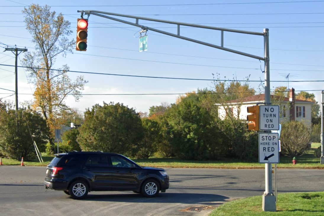
Short arm pole and vertical light
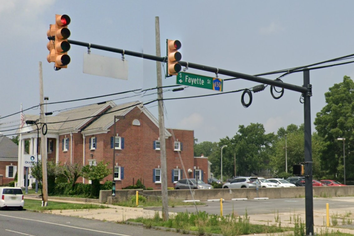
Single arm variant
If you're near a filling station, check to see if an employee is pumping the gas.
You will never see a person filling their own gas tank in New Jersey, but you will in Pennsylvania and New York.
In more recent coverage, bridges have green markers, but either way, New Jersey will let you know which bridges are in their state as well as what year the bridge was built.
Another unique sign is New Jersey's scenic byways, identified by the image of a canoe on a lake.
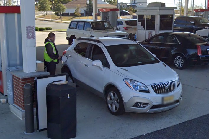
Employee pumping gas
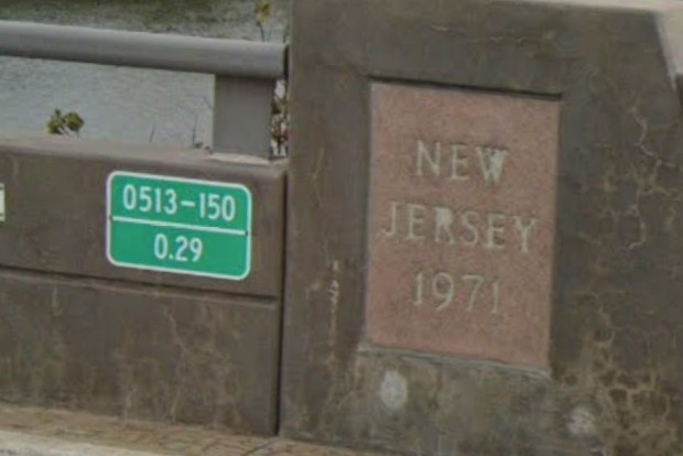
Bridge marker and plaque
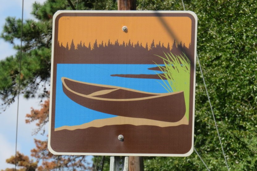
NJ Scenic Byway sign
Some of New Jersey's interstate highways are tolled, marked by EZ Pass tollbooths.
The two major toll roads are The New Jersey Turnpike and the Garden State Parkway.
The New Jersey Turnpike runs from the southwest corner to Newark, and its sign is NTPJ inside a stretched hexagon.
The Garden State Parkway runs the length of the eastern coast, and its sign includes an image of the state.
Bollards aren't normally used on New Jersey interstate highways, but the toll roads do use them.
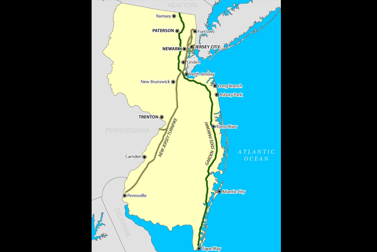
Toll road map
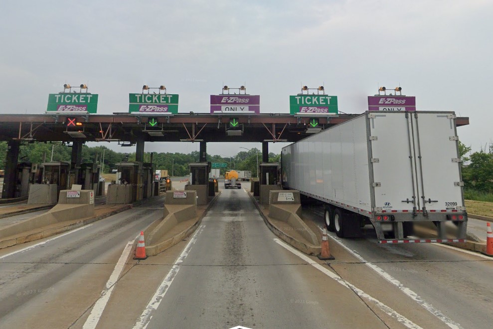
EZ Pass tollbooth
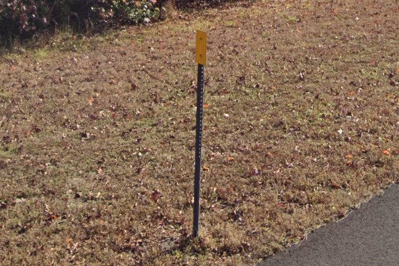
Expressway bollards
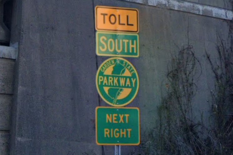
Garden State Parkway sign
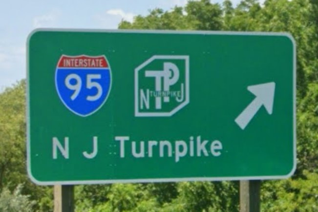
New Jersey Turnpike sign
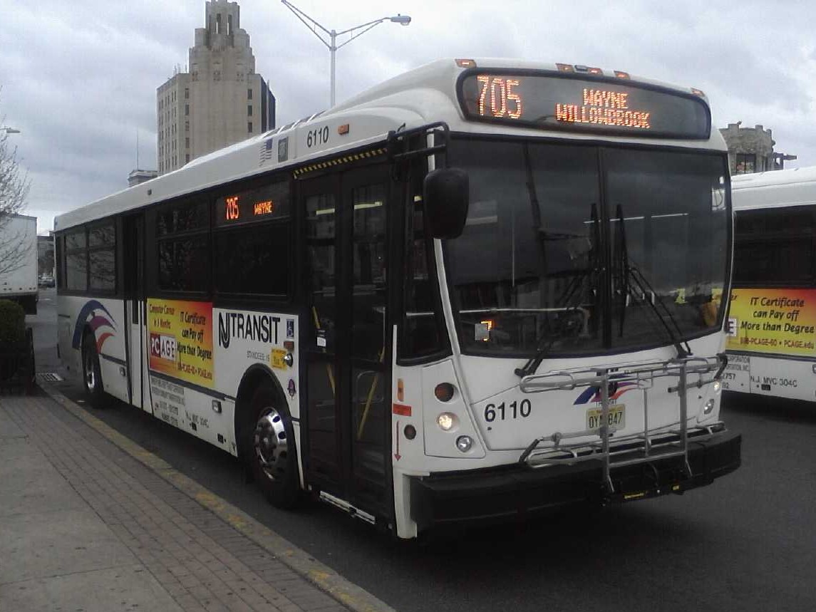
State-wide | NJ Transit
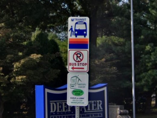
State-wide | NJ Transit
Sections of eastern Colorado also put the road symbol on street signs. Note the short arm pole and black background in the New Jersey design.

Colorado

New Jersey
The EZ Pass is not unique, even to New England. It is used many different states, from Florida to Minnesota.

EZ Pass tollbooth
New Jersey is one of several states that uses a circle to mark state highways.

New Jersey

Delaware

Iowa

Kentucky

Mississippi

Virginia
Thanks to I Necessitate A Visage for the info about blue muncipal plates
Most of New Mexico is a dry, flat scrub desert that gets hillier toward the west.
The two exceptions are the White Mountains near
Alamagordo and the southern Rocky Mountains that stretch down to
Santa Fe.
These higher altitude regions are very green, with pine forests similar to those of
Idaho and
Montana, except that the dirt is very red.
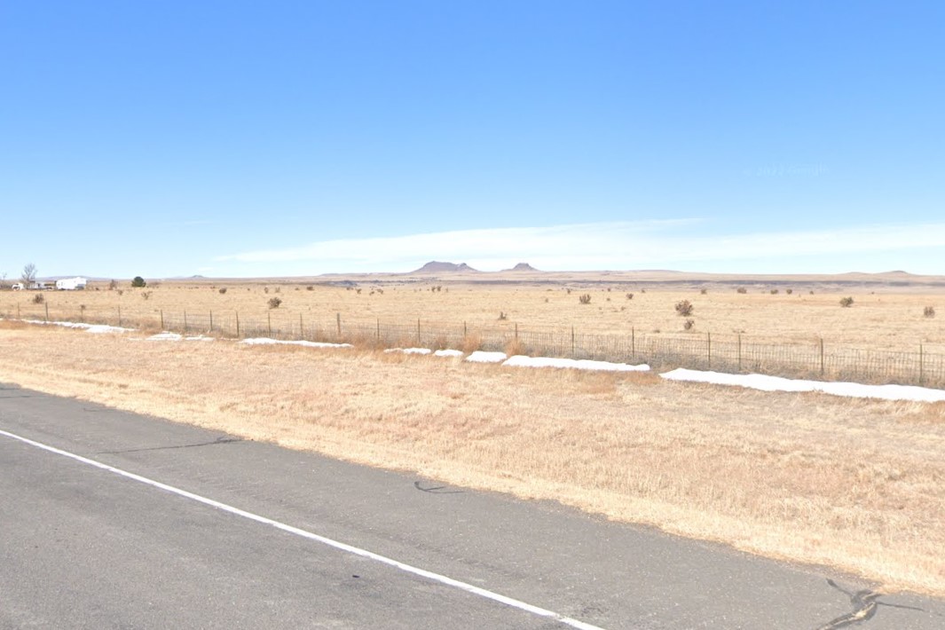
Flat, dry plains with sparse shrubs
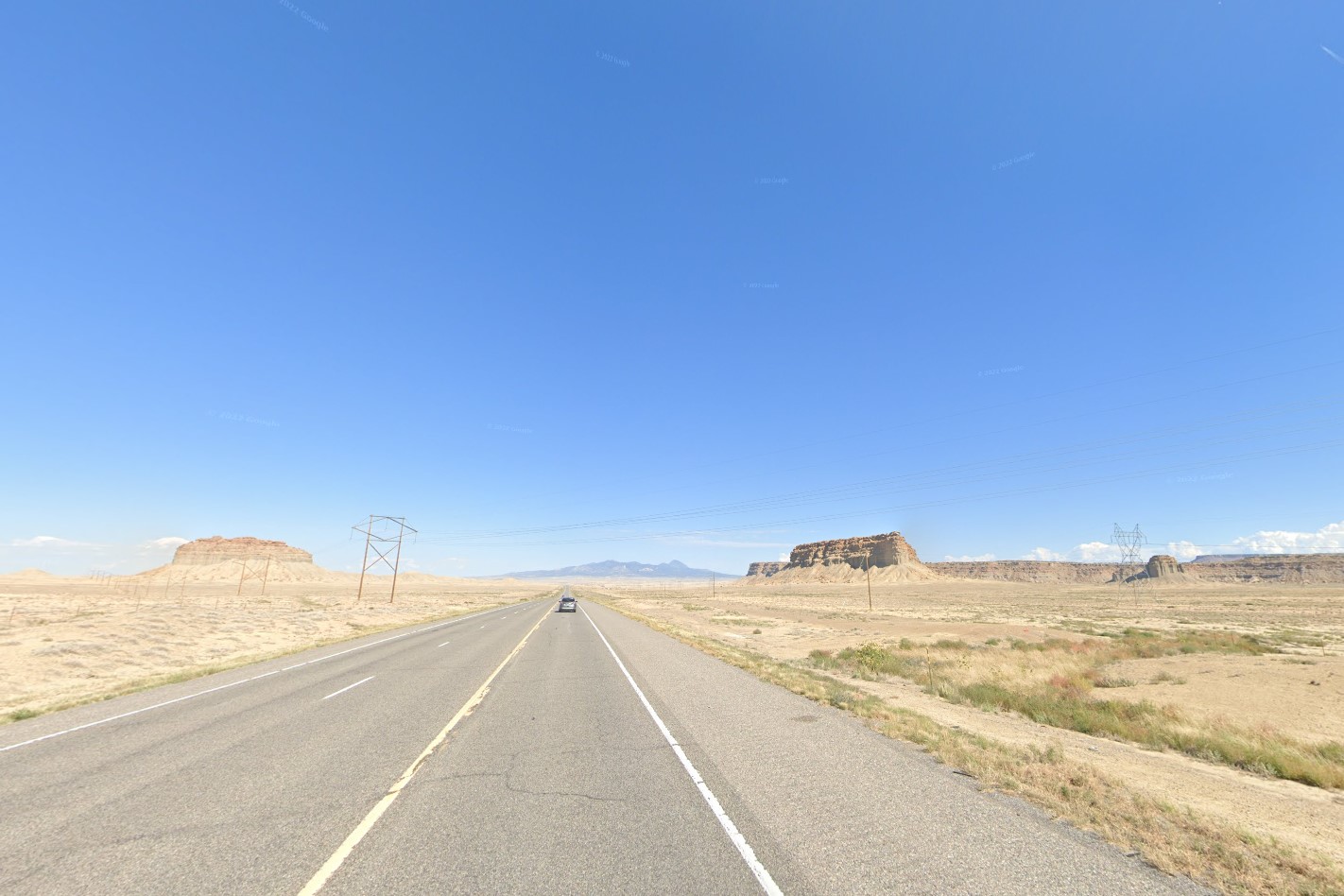
Desert mesas in the west
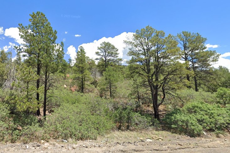
Gila National Forest
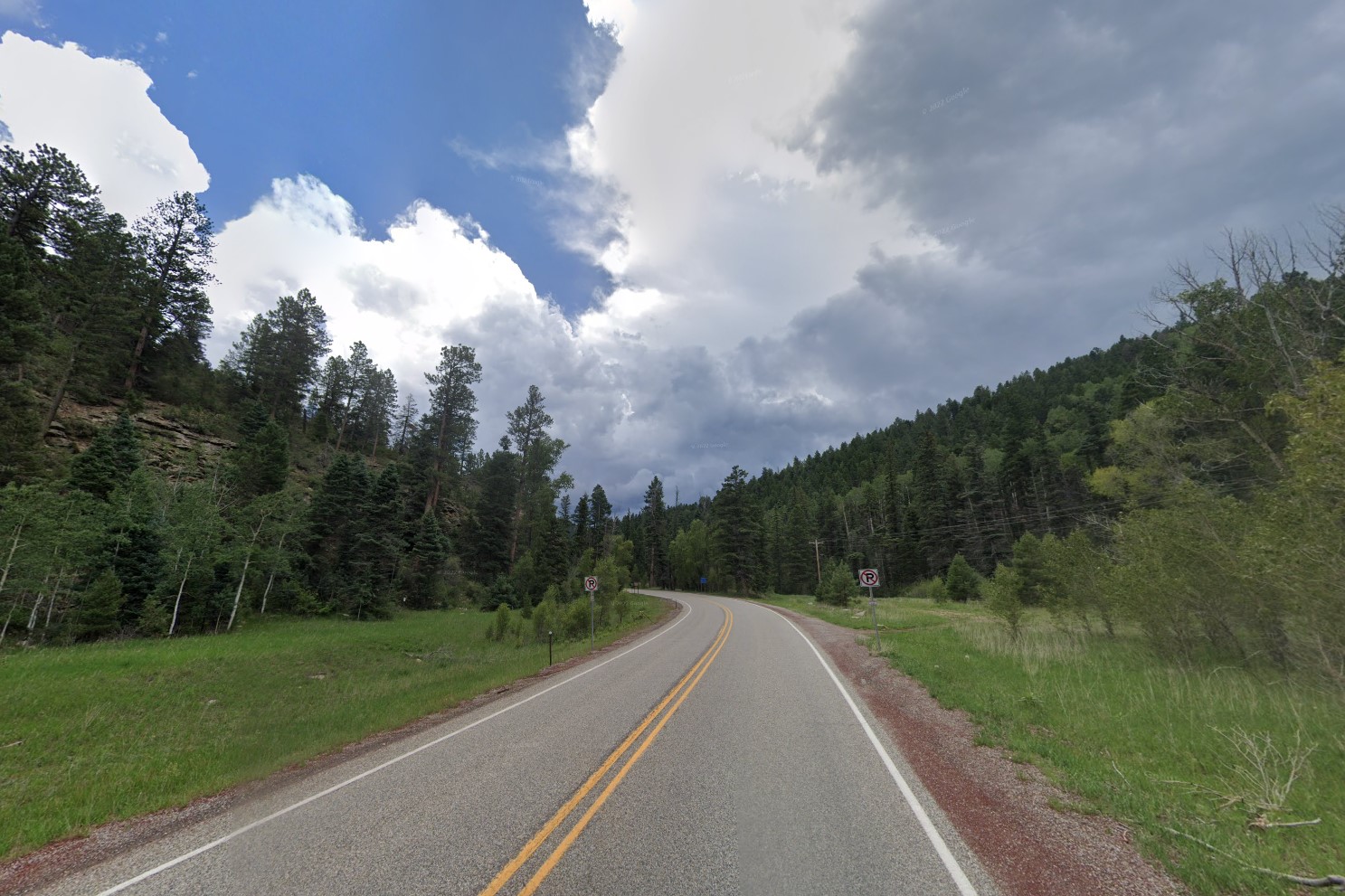
Green high altitude regions
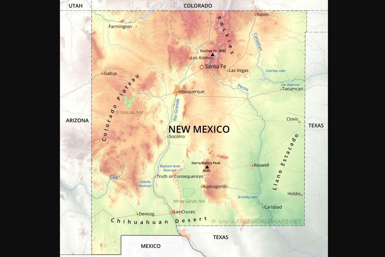
Physical map of New Mexico
New Mexico license plates come in several distinct colors, especially when compared to other southwestern license plates.
Several states have blackout plates and Delaware also uses a black/yellow combination, but the geography and landscape are completely different.
Green license plate
Yellow license plate
Black license plate
Stop signs across the state have large white stickers on the back, but it becomes unreliable in and around larger cities.
It is the only true southwest state that uses circle bollards, but Oklahoma and Colorado also use circles.
New Mexico makes plentiful use of red and white striped warning signs, and the distinct state symbol occasionally appears on various structures and signs.
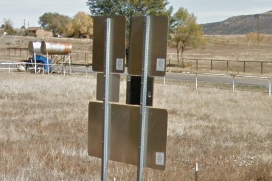
Large white square stickers behind signs
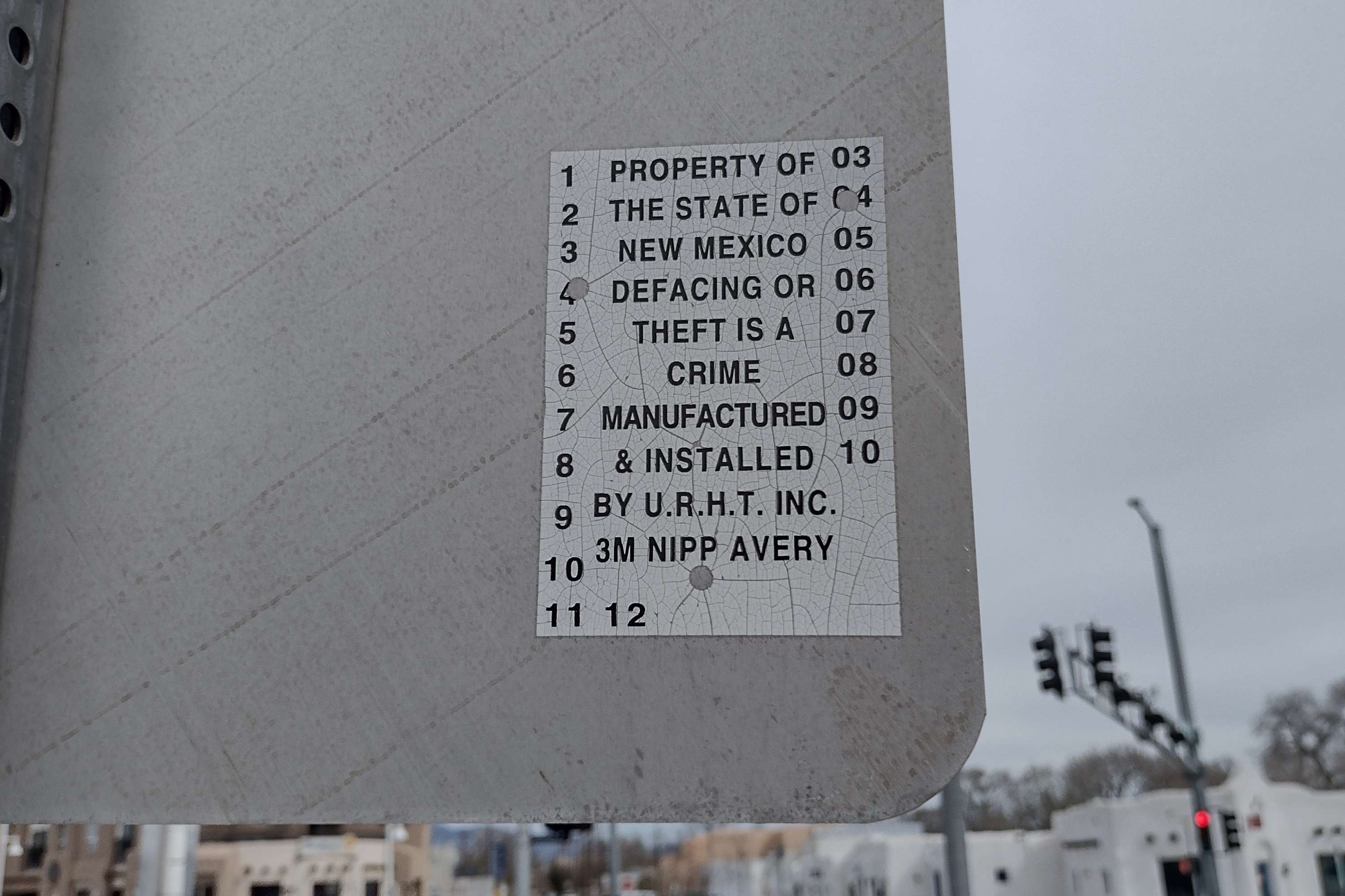
Sticker close-up
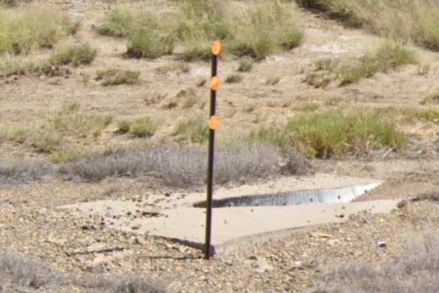
Circle bollard
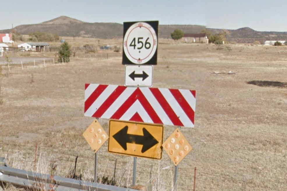
Red & white striped warning
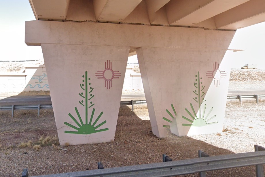
Symbol of New Mexico
The Rio Grande flows south through the center of the state, eventually following I-25.
It flows through are Albuquerque and Las Cruces, but not through Santa Fe or Taos.
Though it is referenced in both cities, the river is generally dryer and thinner in Albuquerque than it is in Las Cruces.
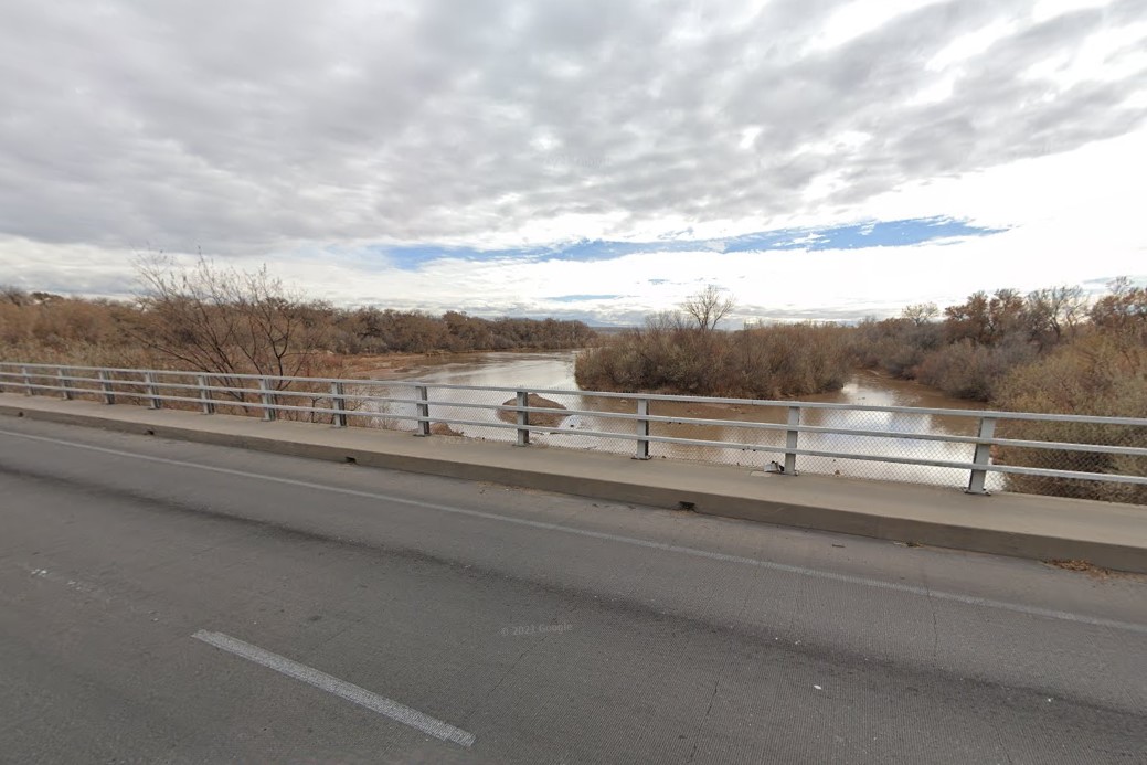
Rio Grande near Albuquerque
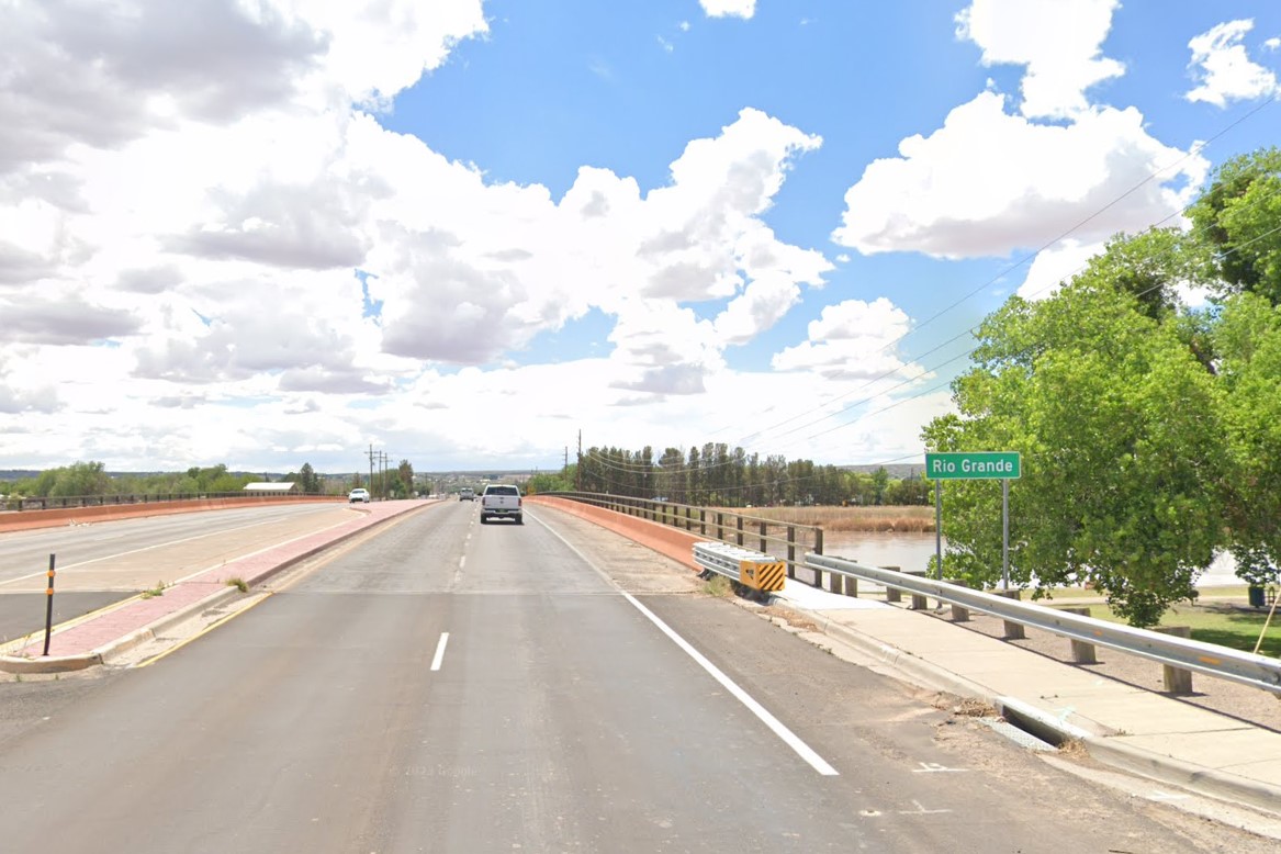
Rio Grande in Las Cruces
In urban areas, look for horizontal traffic signals, adobo architecture, and dirt or gravel yards.
New Mexico uses two area codes: 505 for the central and northwest region, including both
Albuquerque and
Santa Fe, and 575 for everywhere else.
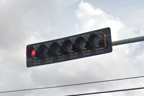
Horizontal traffic signals
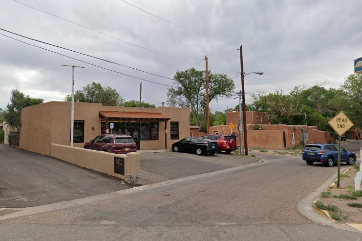
Adobe style architecture
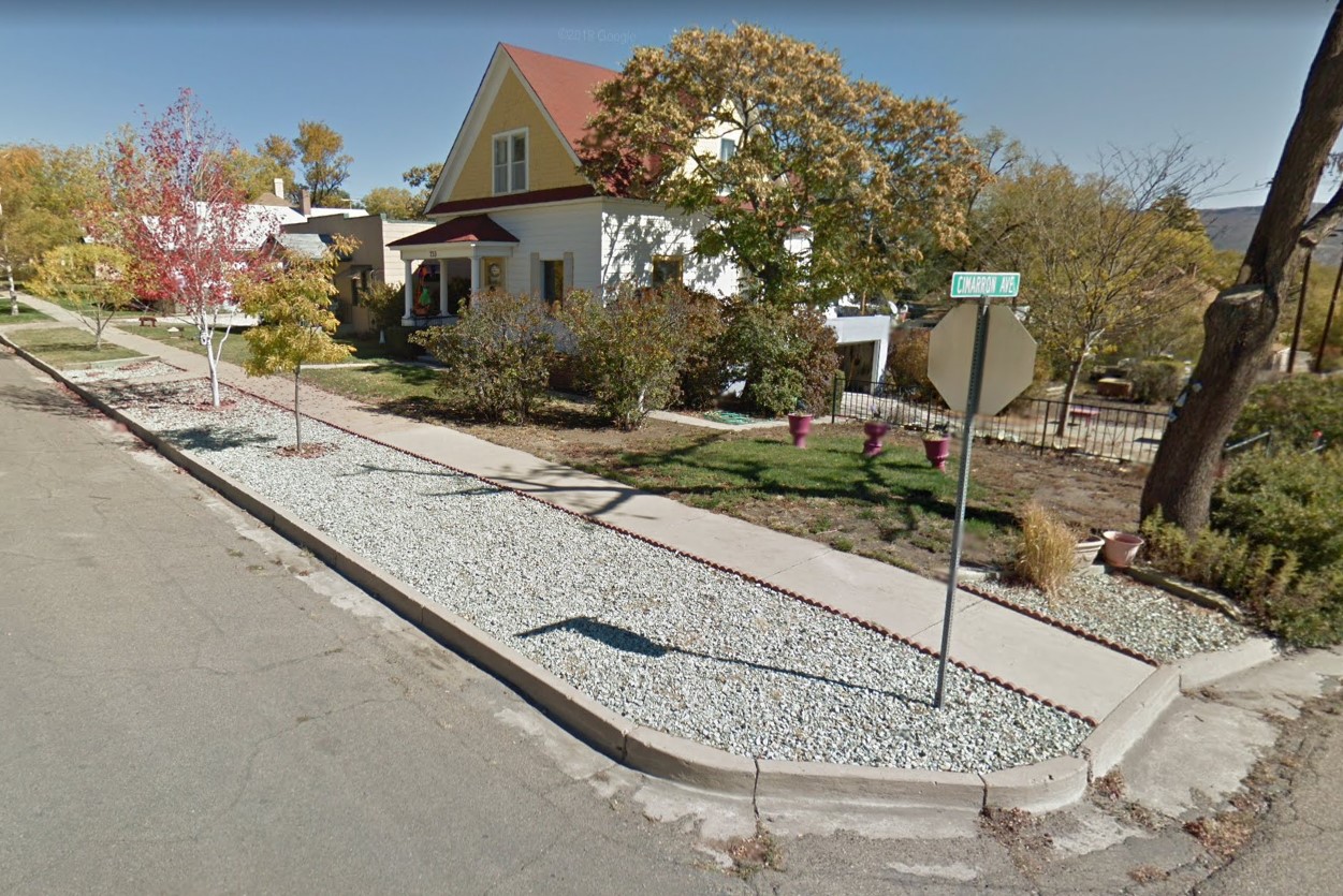
Gravel and dirt yards
505 area code

575 Area Code
Albuquerque sits in the center of the state as a long, thin strip that follows the Rio Grande.
Larger intersections with state roads have a circle symbol on the street sign.
Stacked street signs where the top one is thinner is fairly common in Albuquerque.
Closer to the city center, the road type is nearly the same font size as the name and slightly elevated.
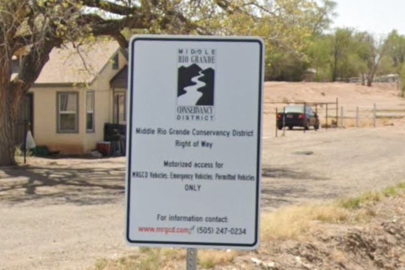
Rio Grande reference
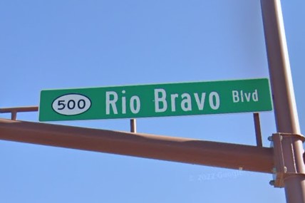
Circle symbol on street sign
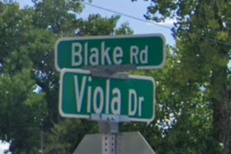
Thinner street sign on top
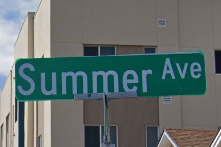
City center street sign layout
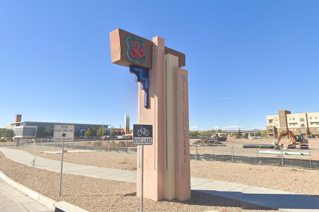
"Route 66" theming
Santa Fe is the state capital, located just northeast of Albuquerque.
Street signs in Santa Fe often have weird and inconsistent capitalization and letter-spacing.
A few streets in Tucson and Albuquerque have the "Camino" extension, but it is most often found in Santa Fe.
There is snow in the December 2023 coverage, and it's the only major New Mexico city that the Spanish Trail goes through.
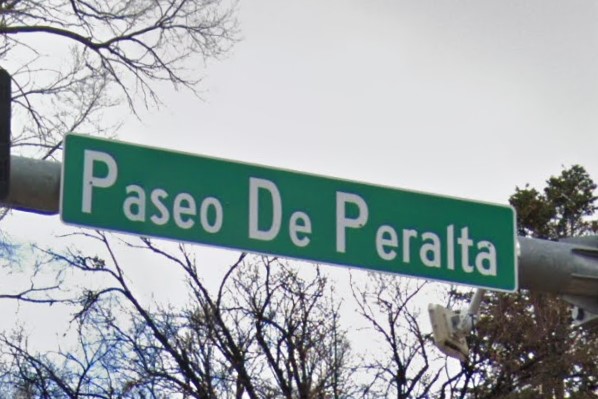
Weird/inconsistent font and spacing
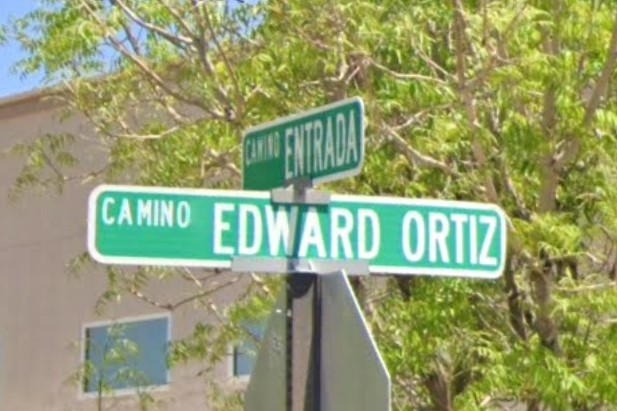
"Camino" street type
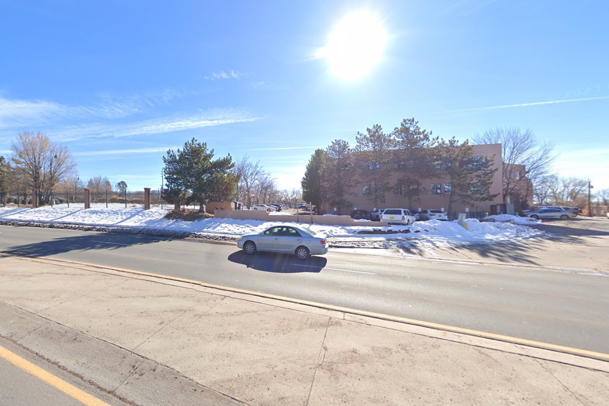
Snow coverage
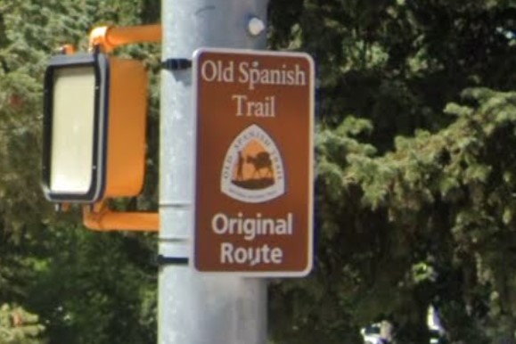
Old Spanish Trail
Las Cruces is near the bottom center of the state, just north of El Paso, Texas.
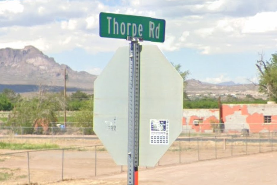
Las Cruces sign sticker
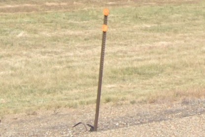
US and state highways use bollards with circles that are white on one side and yellow on the other.
Drainage is marked by three yellow circles.
Interstates will either use rectangle bollards or bollards with two circles.
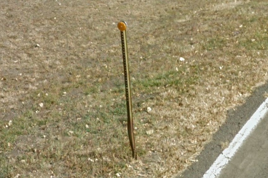
Highway circle bollard

Three yellow circles marking drainage
Interstate yellow circle bollard
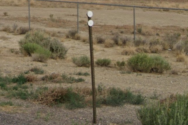
Interstate white circle bollard
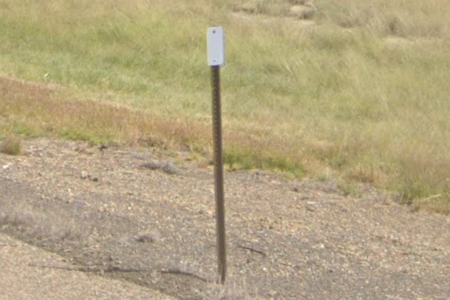
Interstate rectangle bollard
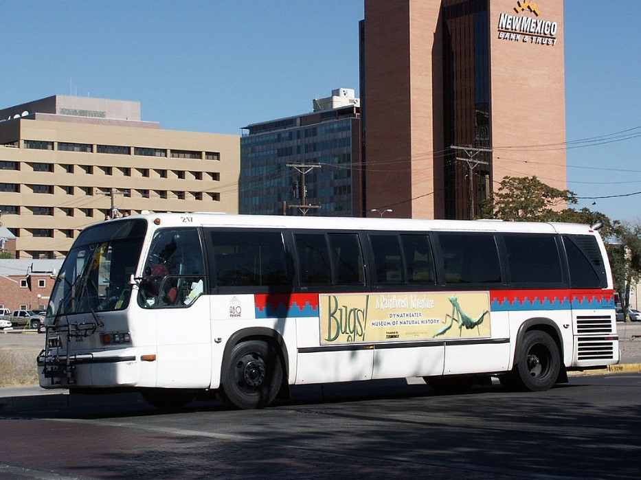
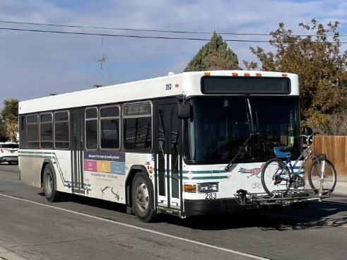
Albuquerque | ABQ Ride
Las Cruces | Road Runner Transit
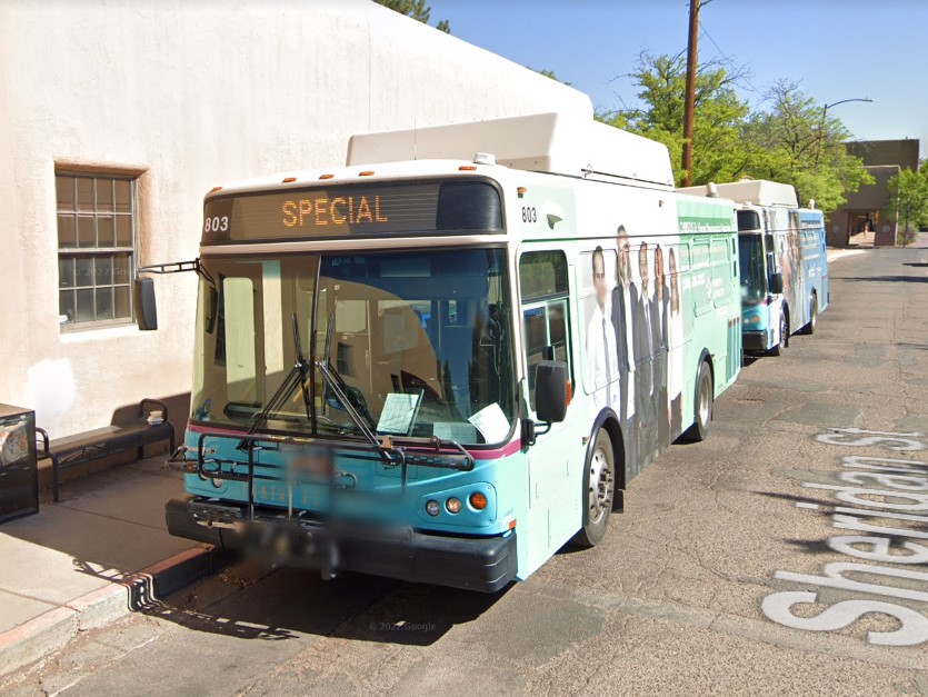
Santa Fe | Santa Fe Transit
Albuquerque | ABQ Ride
Albuquerque | ARTx / Rapid Ride
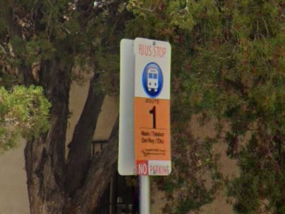
Las Cruces | Road Runner Transit
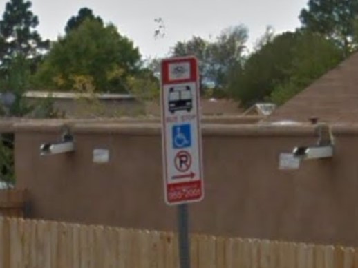
Santa Fe | Santa Fe Transit
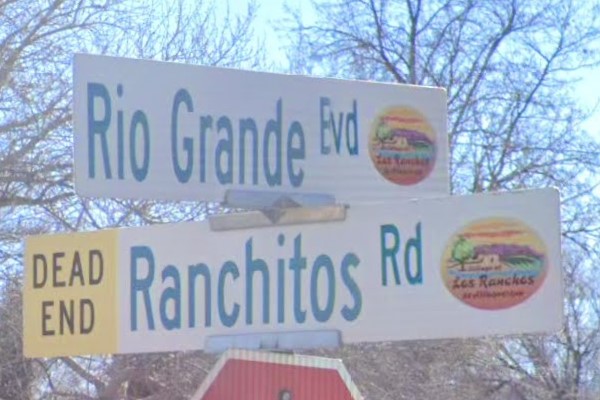
Los Ranchos
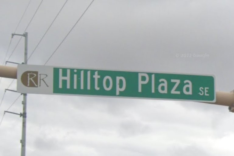
Rio Rancho
Oklahoma also uses three yellow circles to mark drainage.
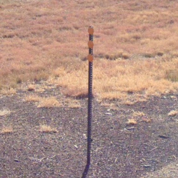
New Mexico
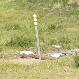
Oklahoma
Texas also has large white sticker behind state-owned signs.
Note the "T-" or "U-" shaped signposts in Texas vs. the vertical posts in New Mexico.

New Mexico
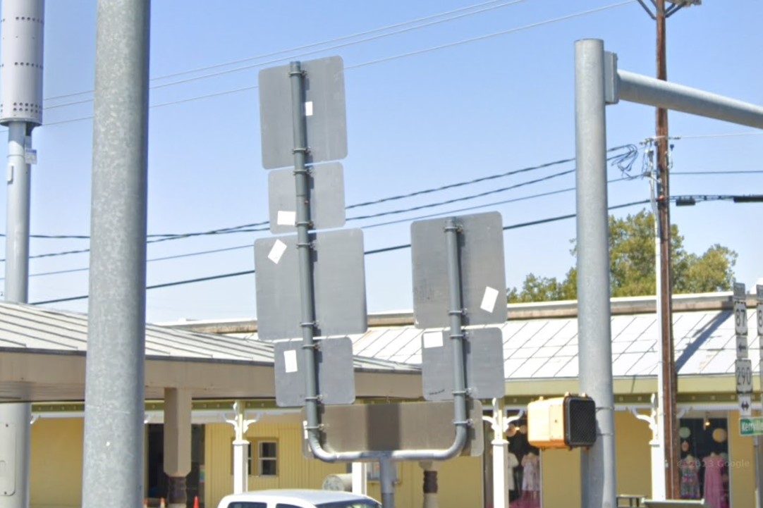
Texas
Nevada uses distinctive black plated bollards and unique white mile markers.
Each mile marker says the road you're on, then a two letter designation for the county, and the distance from the road's source.
A list of county abbreviations can be found
here.
You'll occasionally find temporary plastic bollards, but Nevada is otherwise among the most consistent states with bollards.
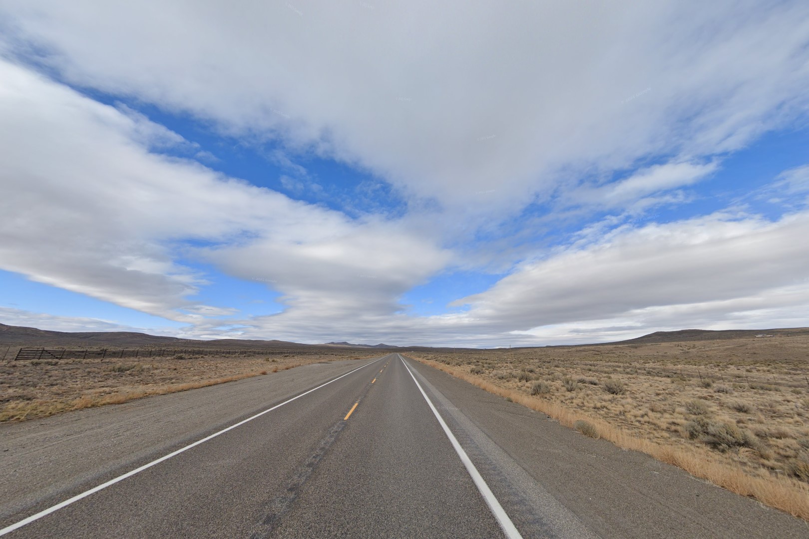
Scrub desert
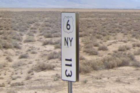
White mile marker
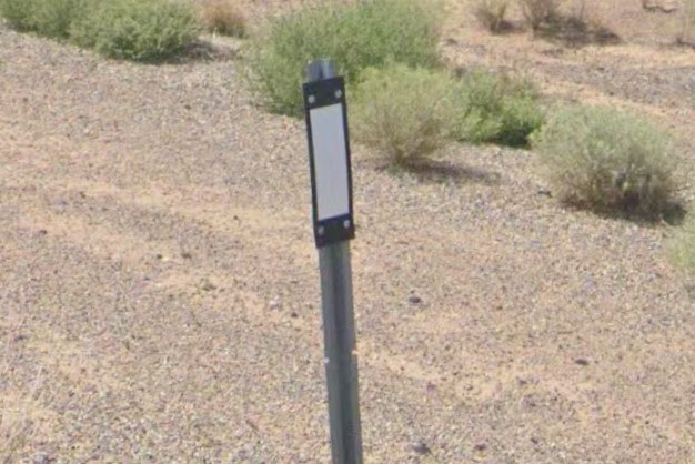
Standard bollard plating
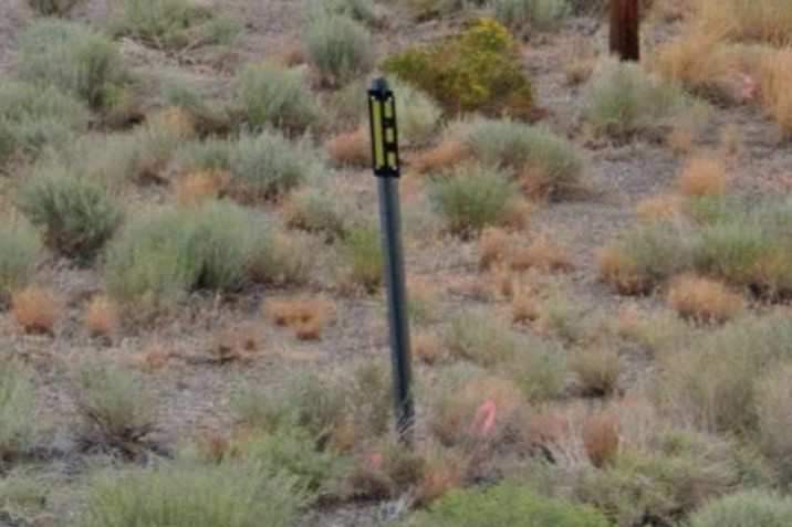
Nevada lane marker
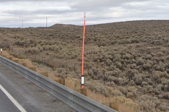
Bollard with snowpole
In the north, Nevada coverage is primarily of US highways and interstate freeways.
Some coverage is of state highways, but as of 2023, it's all gen 1.
Major intersections are usually marked with a red diamond, but you will occasionally see a red & white stripe barrier.
State signs are reinforced with thin metal bands, and some flatter areas will also use diagonal support structures to protect from high winds.
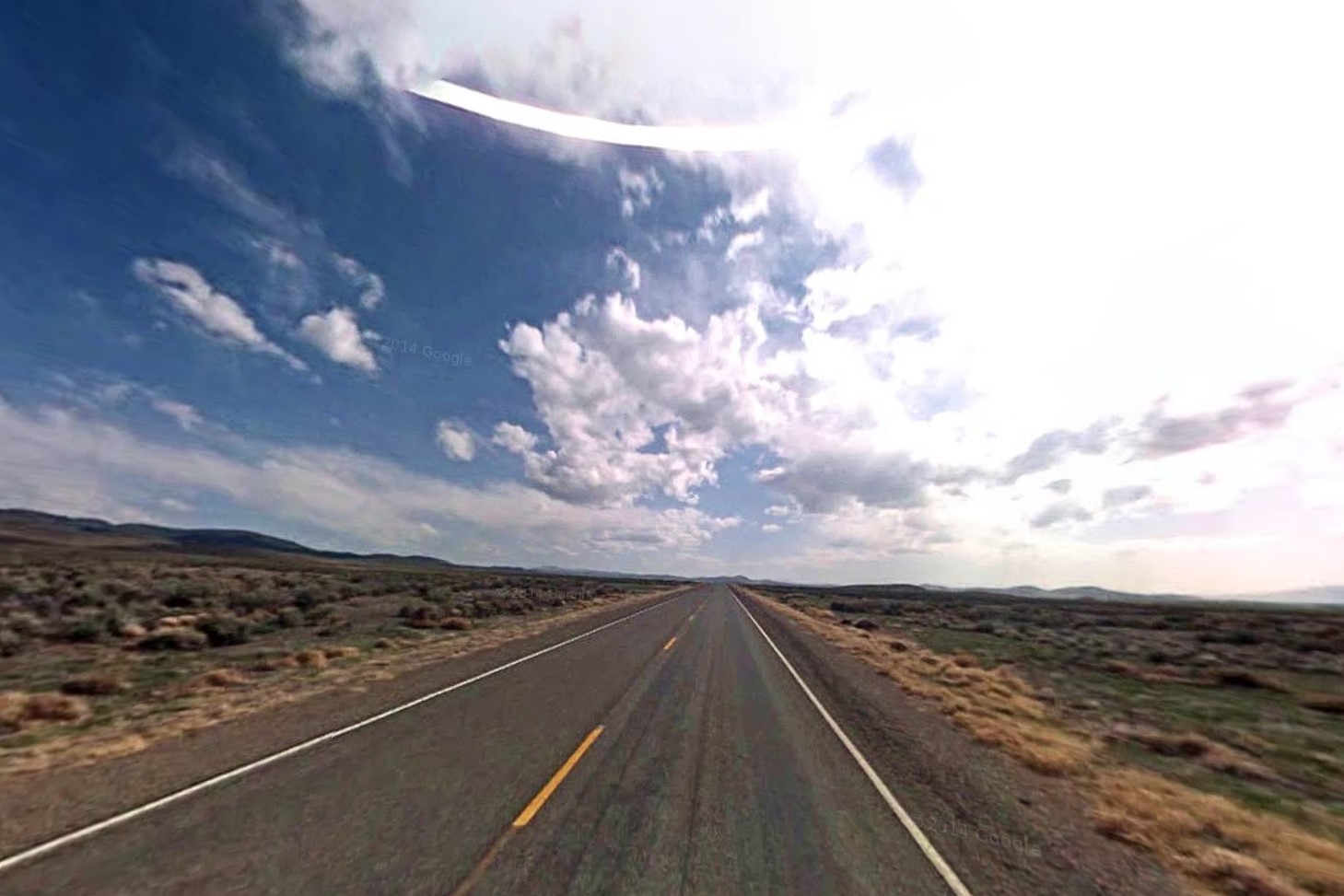
State road with Gen1 coverage
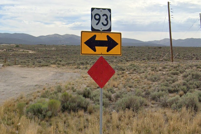
Red diamond with red reflectors
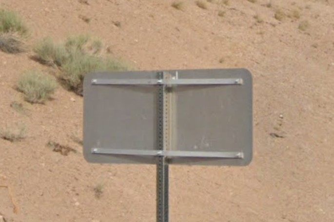
Thin metal support bands
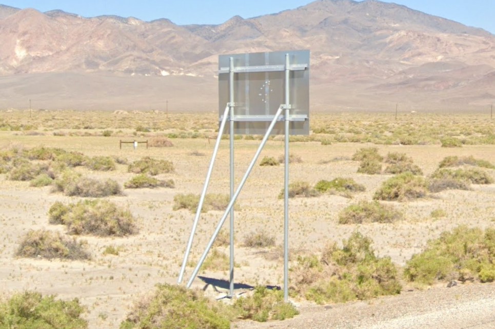
V-Shaped diagonal supports
The only state roads with newer coverage are in the south, notably
NV-376,
NV-316/NV-361, and- remarkably- county road 89, which is a wide gravel road through the desert.
The
Elko area has snow in the 2023 coverage.
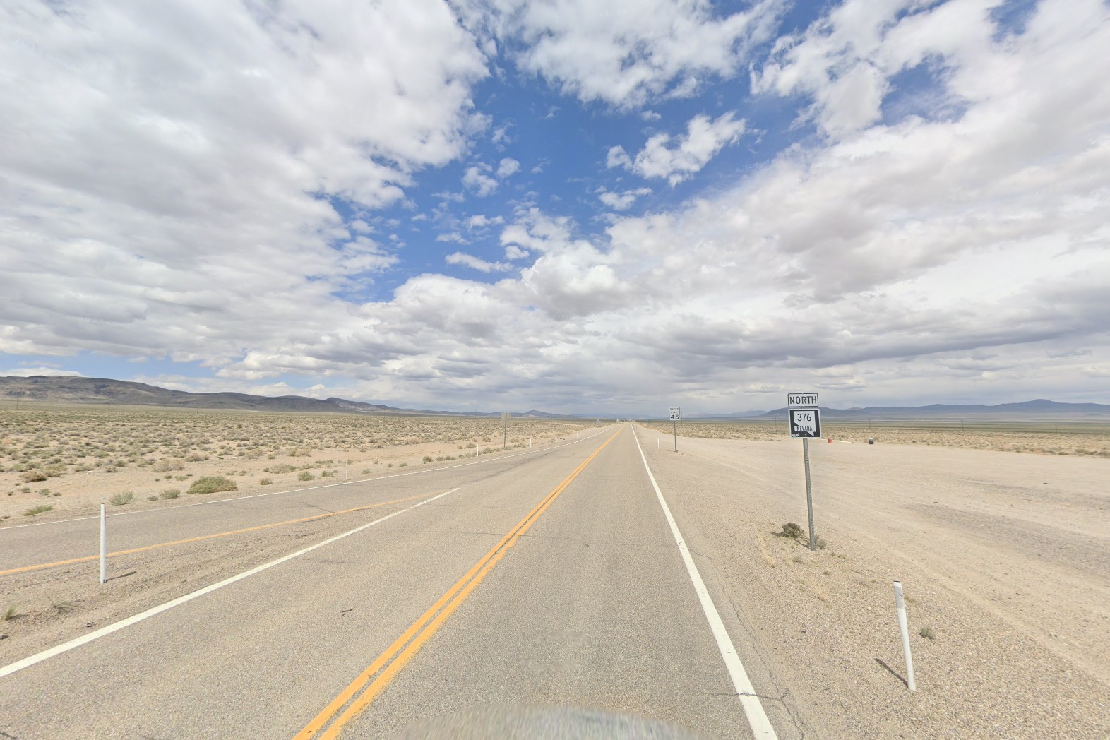
Newer coverage on NV-376
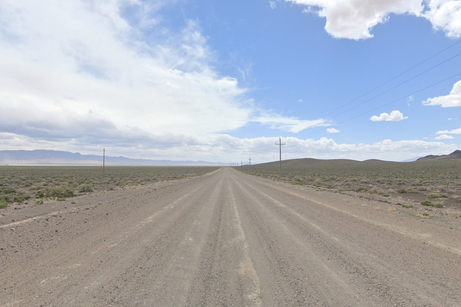
NV CR-89
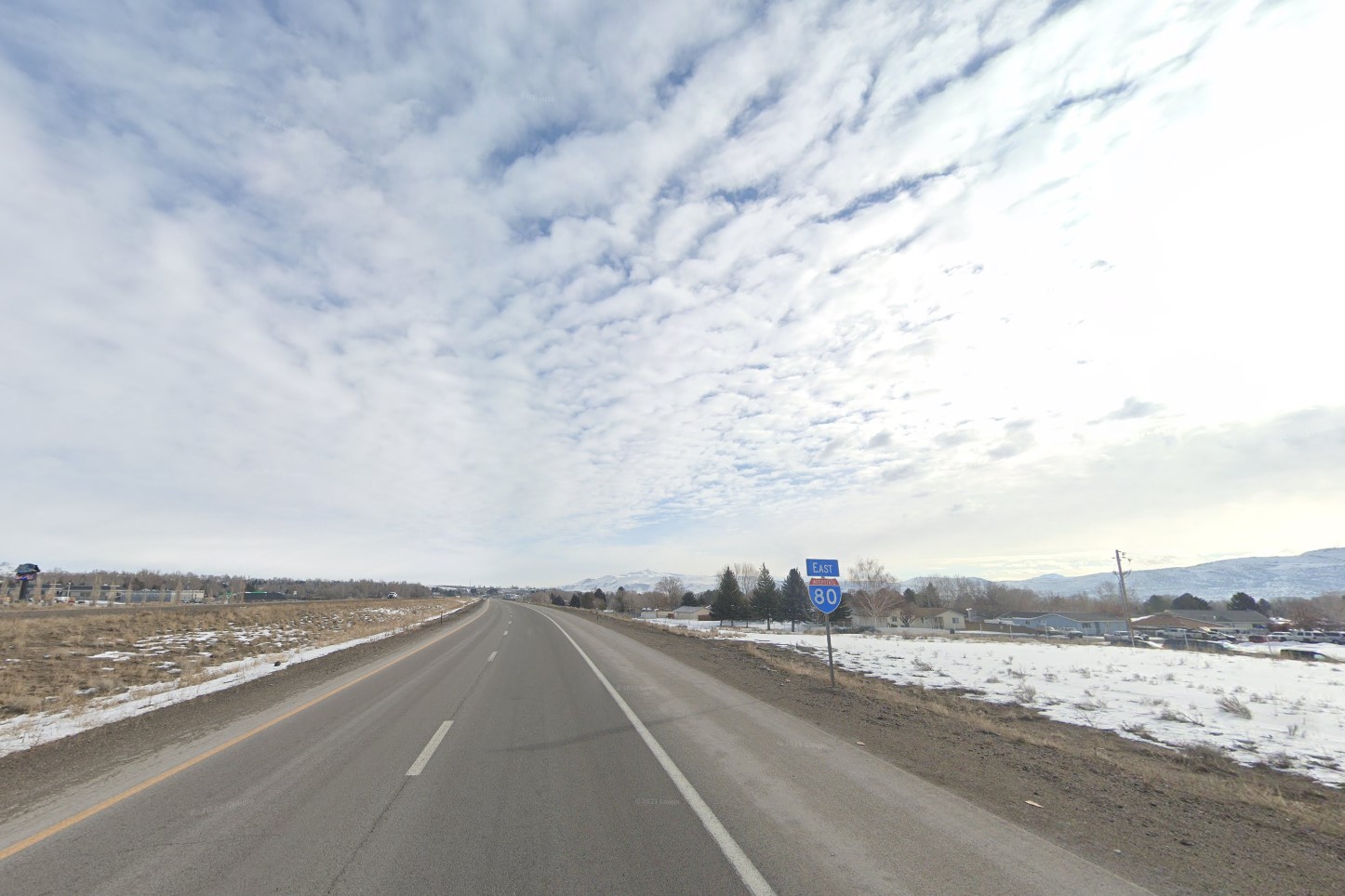
Snow coverage in Elko
The standard license plate is relatively unique for the geography, but it's more useful for identifying urban areas than the desert highways.
On the other hand, the solid blue 1982 replica license plate is much more identifyable, but also much less common.
In Nevada, traffic signals are over the same street as the lamp above it, as opposed to Utah, where the lamps are over the opposite street.
The thin metal support bands are often used behind signs in cities as well, and a poles will often have another traffic signal in addition to the one hanging over the street.

Two standard Nevada plates
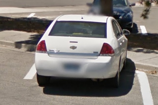
1982 replica plate
Thin metal bands behind signs
Traffic signal structure
A handful of small desert towns have coverage, but the two major cities are
Reno and
Las Vegas.
Interstate highways in the Reno area end in "80" (I-80 & I-580), while those around Las Vegas end in "15" (I-15, I-215, I-515).
On smaller roads, one major difference between the two cities is how road lines are marked.
Where Reno uses the standard paint, Las Vegas- and most of Henderson County- uses circle raised pavement markers instead of paint to mark road lines called
Botts' dots.
Botts' dots in Las Vegas
Botts' dot close-up
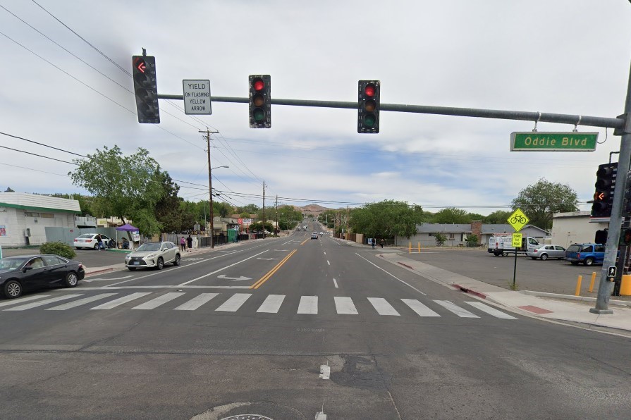
Standard paint in Reno
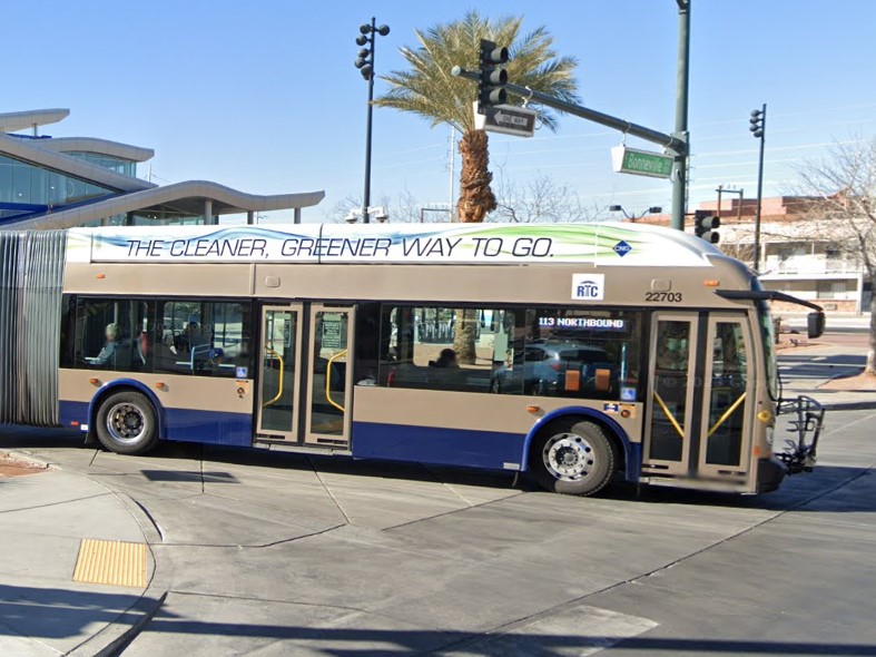
Las Vegas | RTC
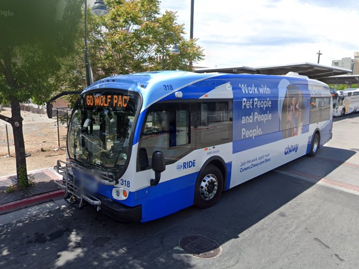
Reno | RTC
Las Vegas | RTC
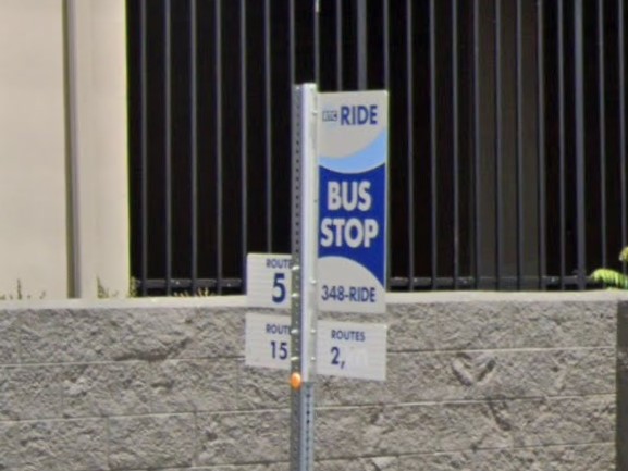
Reno | RTC
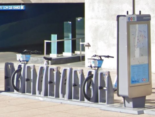
Las Vegas
The standard North Dakota license plate looks similar to one of the two Nevada standard plates.

Nevada

North Dakota
Western USA Car Meta
Thanks to 5ummr for the street sign symbols and for explaining whet a Botts dot is.
Until about 2020, New York had one of the most identifyable orange license plates.
Later coverage has the newer white plate, but all vehicles registered in New York still have the double regulation/inspection windshield sticker.
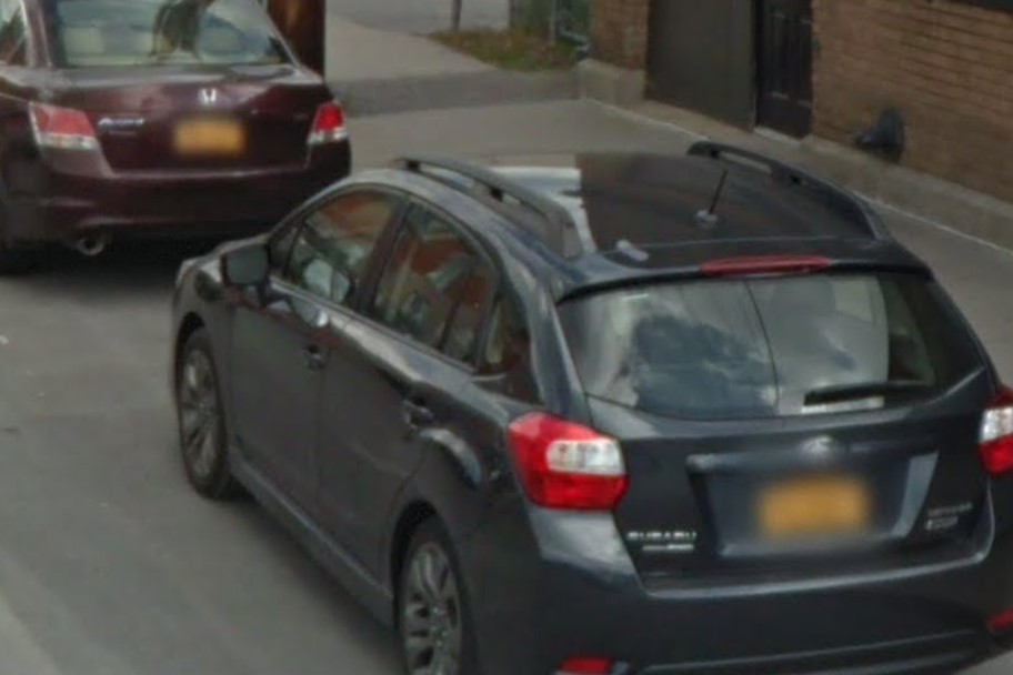
Pre-2020 license plate
Post-2020 license plate
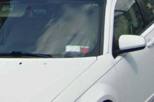
Regulation and inspection stickers
Small green square plates with three rows of numbers are fairly common both here and in .
In New York, the numbers on these plates will tell you exactly where you are if you know how to read it.
The top number is the number of the state or US routes you are on.
In the second row, the first digit is the region you are in, and the second digit is the county numbered in an alphabetical list.
In the third row, the first digit represents the city and the rest of the digits are the distance you are away from that city.
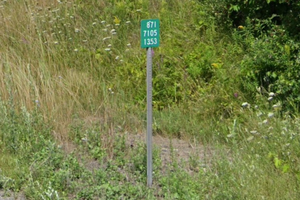
Green marker
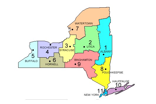
New York region codes
"State", "Town", or other specific types of speed limits are unique to New York.
Brown and yellow is the standard color palette in the Adirondacks.
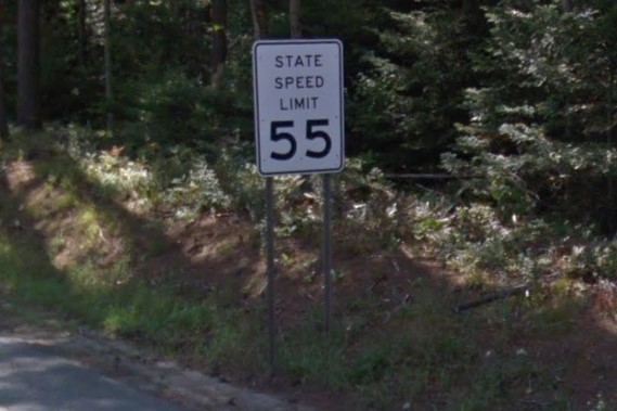
Speed limit sign variations
Brown and Yellow in Adirondacks
Tollroad marker
Mile marker on crossover
Adirondack crossover mile marker
Bollard combinations
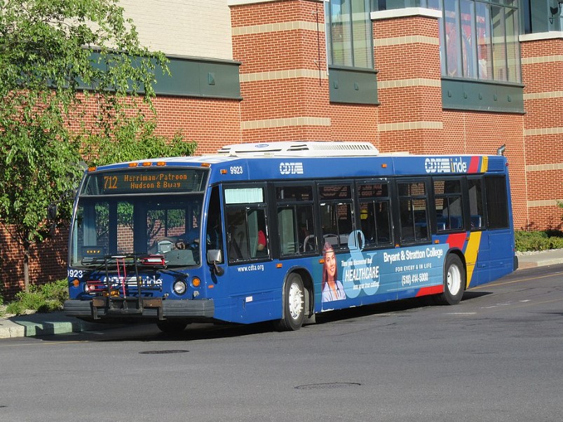
Albany | CDTA
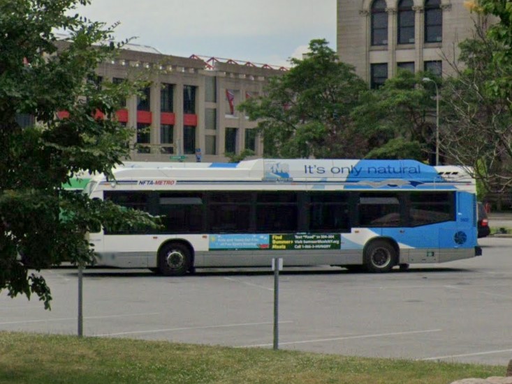
Buffalo | NFTA

New York City | MTA
Rochester | RGRTA
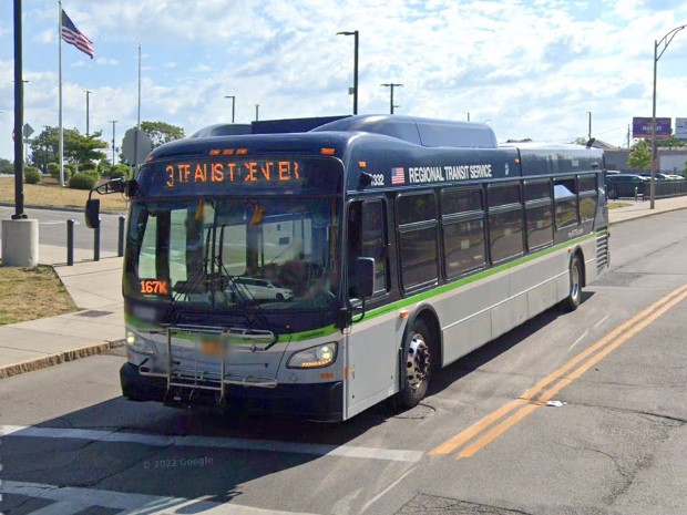
Rochester | RTS
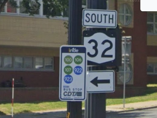
Albany | CDTA
Buffalo | NFTA
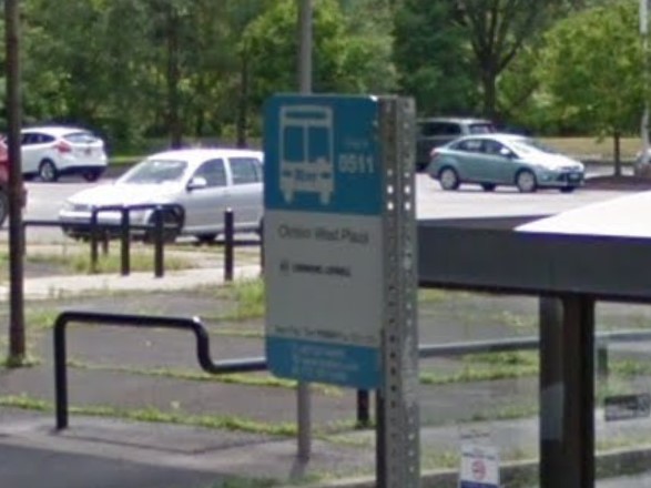
Ithaca | TCAT
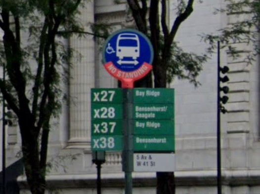
New York City | MTA
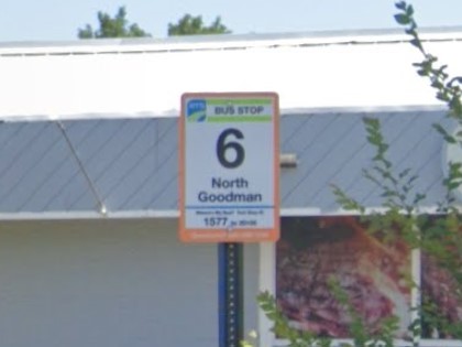
Rochester | RTS
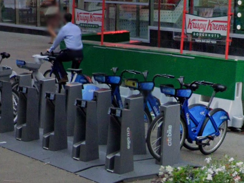
New York City
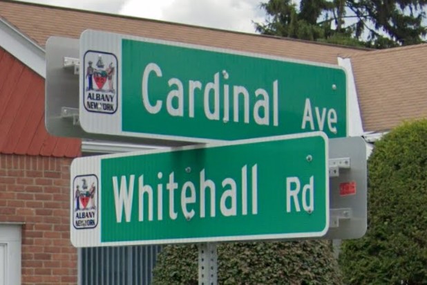
Albany
Buffalo
Chateaugay
Utica
New York and Vermont both use green square plates with white numbers.

New York
Vermont
New York's blue and yellow historical marker have a similar color pattern to Pennsylvania's keystone markers.
New York historical marker
Pennsylvania keystone marker
Ohio doesn't have a lot consistencies statewide; many things changing from one county to the next.
It does have a unique bridge marker with three letters corresponding to the current county at either end of bridges.
It also has a unique mile marker on state and US highways measuring the distance from the county border.
In more recent coverage, some highways have upgraded to a blue sign that includes a symbol for the current road.
Bridge Marker
County mile marker
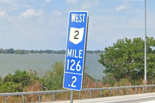
Blue mile marker
The standard plate from 2013 to 2021 is mostly white with a red border on top, but you will still see a mix of the other previous plates.
The red/white/blue bicentennial plate and the 2009 standard plate with the yellow splotch on blue are the most distinct.
In 2021, Ohio released a new standard plate that also has a yellow splotch on blue, but the splotch is a paler yellow and is aligned toward the center.
2013 Red & white plate
2009 yellow splotch plate
2021 yellow splotch plate

Bicentennial plate (rare)
Many street signs in Ohio suburbs are mounted on infrastructure that already exists for other purposes instead of getting their own post.
They are often mounted on traffic signals, bolted into wooden power poles, or banded onto metal power poles.
Some also have flat metal reinforcements on the top and bottom, resulting in T-shaped outside edges.
Indiana follows a similar rule, though street signs are more often mounted on top of stop signs at intersections.
There is a lot of variation, and signs are mounted on their own pole if no other placement is available.
Sign over street and on pole
Support arm fastened to wooden pole
Banded to pole with T-shaped edges
Street signs above stop sign
Each county decides how they want to sign their county roads.
Some counties use the blue national standard, some use the same pattern as other states, but a few counties use completely unique sign templates.
Click
here to see the complete map.
Ashland Co
Henry Co
Henry Co
Noble Co
Scioto Co
Seneca Co
Trumbull Co
Williams Co
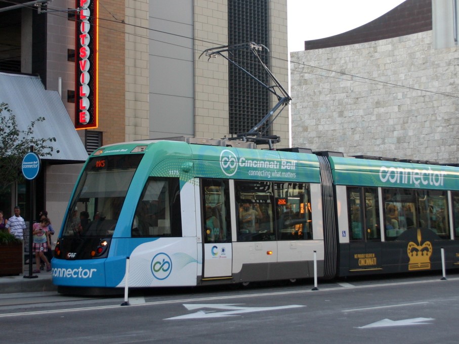
Cincinnati | The Connector
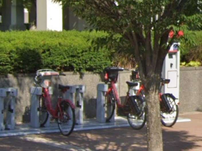
Cincinnati
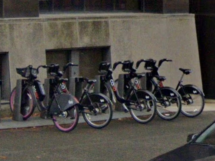
Columbus
Vandalia
White square county road signs can also be found in
Minnesota, and occasionally in
South Dakota and in older coverage of
Michigan, especially in the north and upper peninsula.
It is also used in
Apache County, Arizona, but the landscape of the American southwest is very different from the heavily wooded upper midwest.

Ohio

Minnesota

South Dakota

Michigan
Many thanks to the US Geoguessr Professor for all the Ohio knowledge and the pretty street sign pictures
East of Oklahoma City, the state is fairly green with plentiful broadleaf trees.
West of Oklahoma City and into the panhandle, there are fewer trees and it looks more like the typical midwest grasslands.
In all parts of the state, the dirt looks red when exposed.
In 2016, Oklahoma changed its standard license plate, so you may find one of two types, depending on coverage year.
The pre-2016 Oklahoma license plate is very similar to Indiana's current plate, and the post-2016 plate looks very similar to the standard license plate in Kansas.
Greenery on the east side
Central state transition
Dry grasslands on the west side
Red dirt
Pre-2016 standard plate
Post-2016 standard plate
Many intersections have green markers unique to Oklahoma, with just two or three white numbers.
Smaller signs with only two numbers appear in older coverage, but newer coverage features larger signs with three numbers.
The top number ranges from 1-77, referencing the county this intersection is in.
The list is in alphabetical order, starting with #1 Adair County and ending at #77 Woodward County.
The middle number is a reference for state maintenance that you can read more about
here.
The bottom number is optional, and lists the distance into that section this sign currently is.
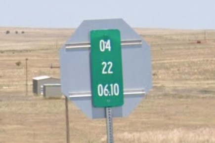
Large green sign with three numbers
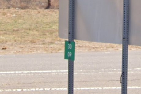
Small green sign with two numbers
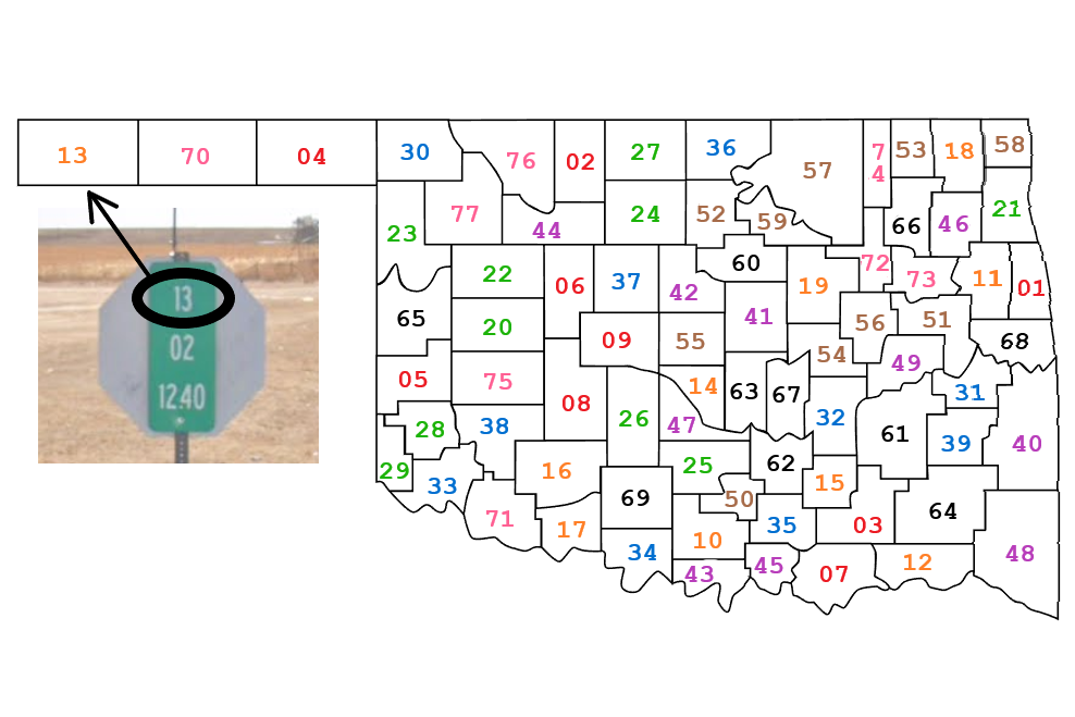
Maintenance number map
State highway bollards will vary by county, but drainage tunnels and grates are generally marked with three yellow reflectors or a similar yellow substitute.
Most signs have cross-braces behind them, which is most apparent when two or more signs are arranged horizontally on a single post.
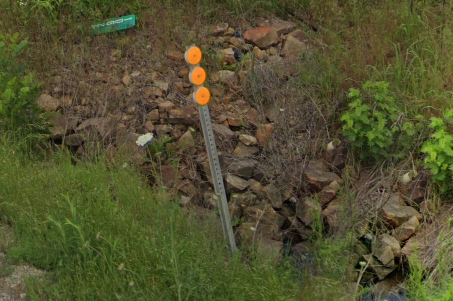
Three yellow circles mark drainage
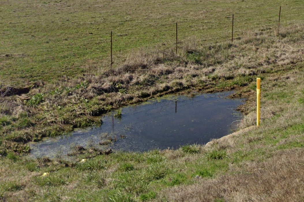
Temporary bollard for drainage
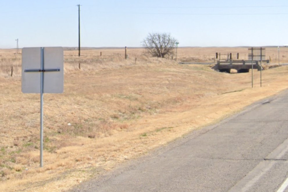
Cross-braces behind signs
Construction signs are encouraged to have bold orange reflectors on the legs, but it's technically not a state requirement.
Outside of small towns, many roads at county designation or lower don't have any signs, resulting in crossroads that are completely unmarked.
Without the protection of trees, the winds are higher in the west, where you will find wind farms and signs torn up by wind damage.
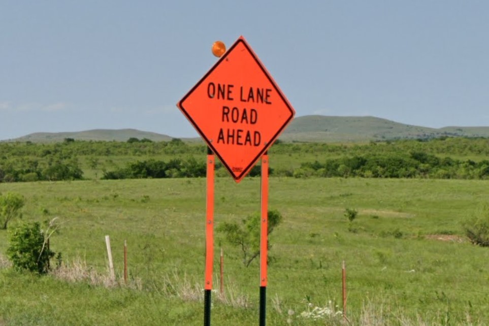
Orange legs on construction hazard sign
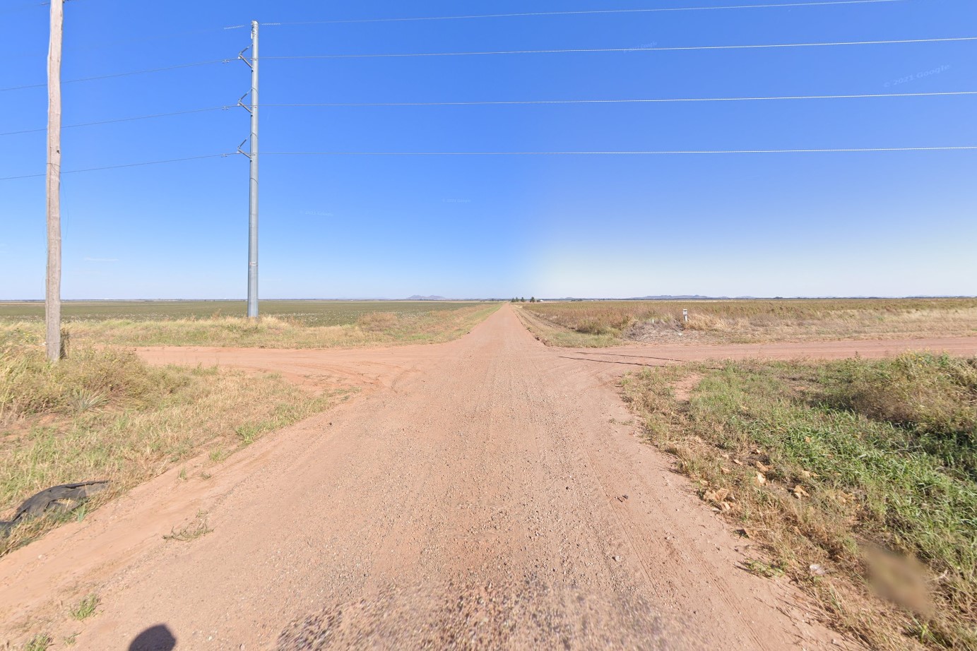
Unmarked crossroads
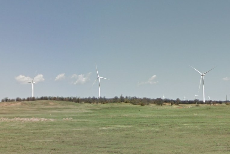
Wind farms in the west
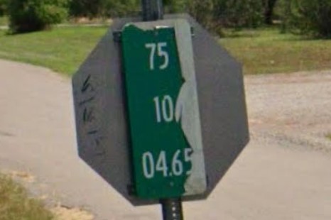
Wind damage to green sign
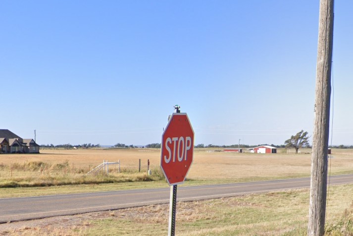
Road sign ripped off by wind
Each county district in Oklahoma is a little bit different, some with quirks more obvious than others.
Higher variation means less state-specific meta, but it also means you can narrow down the area to search if you're familiar with a county's particular style.
For example, most counties in the fifth district put their abbreviations on street signs.
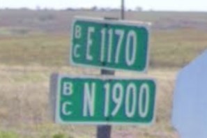
BC - Beckham County
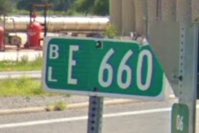
BL - Blaine County
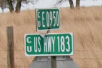
CU - Custer County
DW - Dewey County
HM - Harmon County
KW - Kiowa County
RM - Roger Mills County
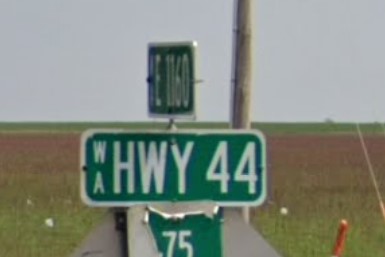
WA - Washita County
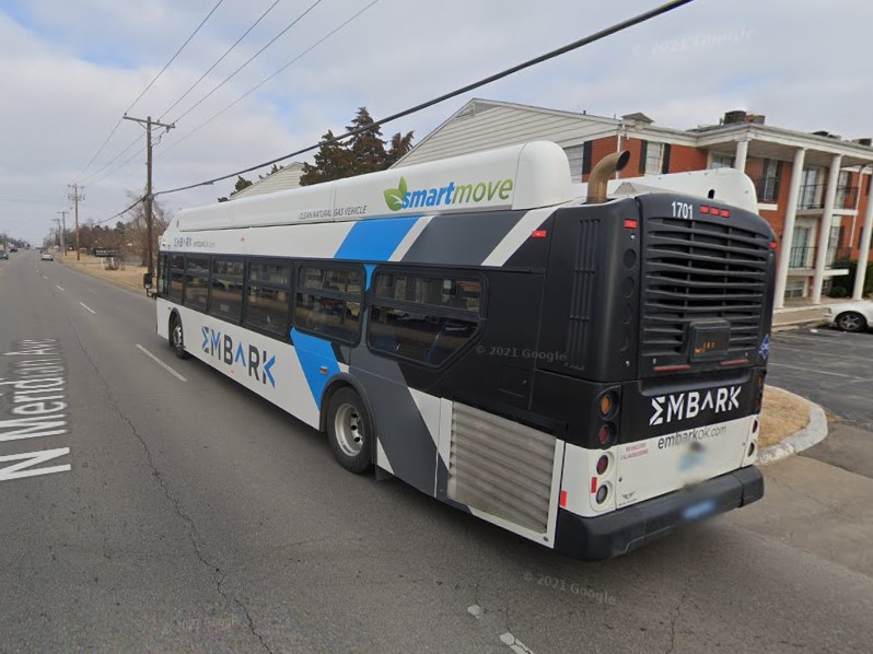
Oklahoma City | Embark
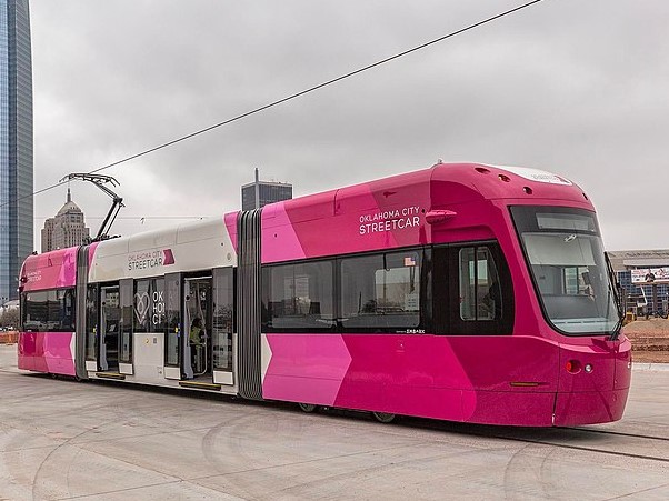
Oklahoma City | Bricktown Loop
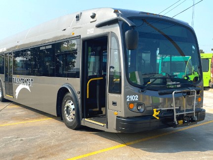
Tulsa | Tulsa Transit
Oklahoma City | Embark
Tulsa | Tulsa Transit
Choctaw
Del City
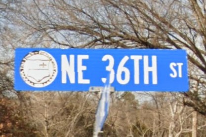
Forest Park
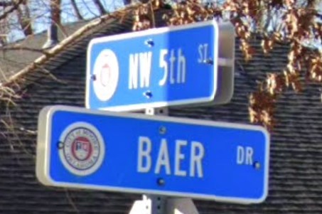
Moore
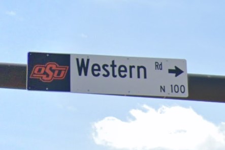
Stillwater
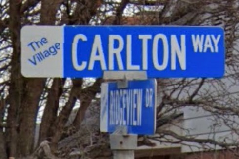
The Village
New Mexico also uses three yellow circles to mark drainage.

New Mexico

Oklahoma
Oklahoma's post-2016 license has the same blue & white colors as the standard plate in Kansas.

Oklahoma
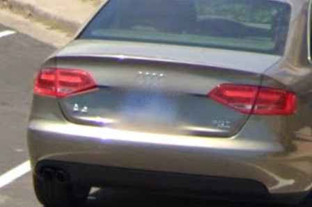
Kansas
Oklahoma's pre-2016 license has the same blue & white pattern when blurred as the Indiana standard plate.
Indiana license plates appear a darker shade of blue and have a colored registration sticker, but it is not the only state with the blue-on-the-left license plate pattern.

Oklahoma
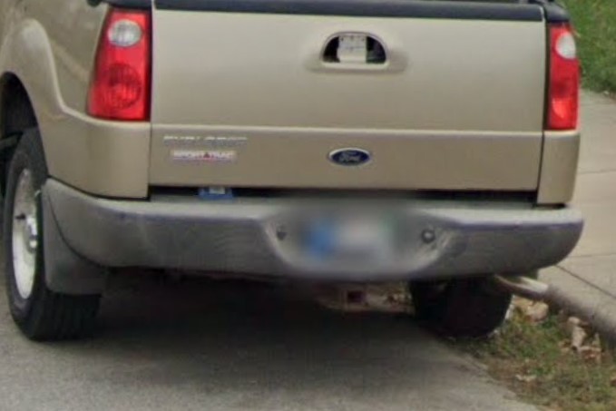
Indiana
The Pennsylvania Guide is not done yet.
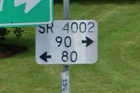
State Road number plate
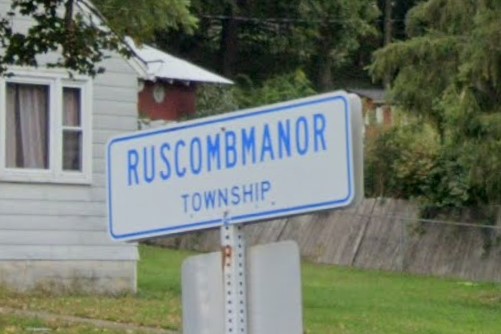
Blue township signs
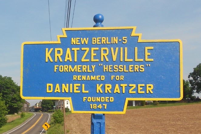
Keystone marker
North Carolina and Virginia use similar white sign markers.

Pennsylvania
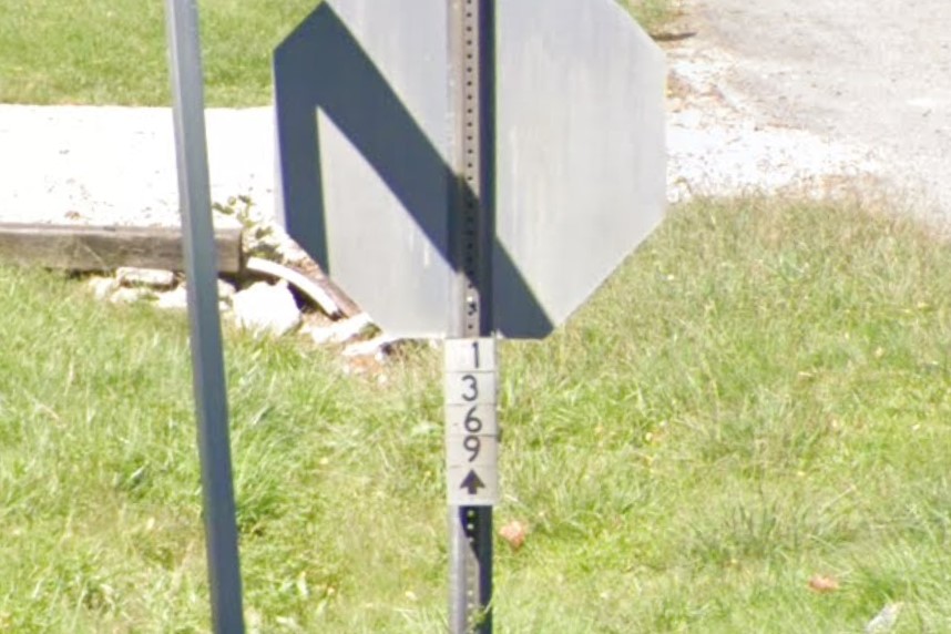
North Carolina
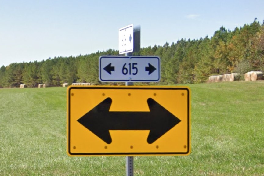
Virginia
Pennsylvania's standard license plate has a similar color pattern to Iowa's blue and yellow plate.

Pennsylvania

Iowa
Pennsylvania's keystone markers have a similar color pattern to New York's blue and yellow historical marker.

Pennsylvania keystone marker

New York historical marker
Thanks to geofessr for explaining the white number plates
Thanks to Xeon for info about PA's keystone markers
Rhode Island is relatively small in area, and architecture is very similar to other New England states.
There is a lot of wood siding architecture and low rock walls following roads and highways.
It uses a state-wide area code, 401, and acronyms that start with "RI", including RIPTA for public transit and RIEMA on emergency evacuation signs.
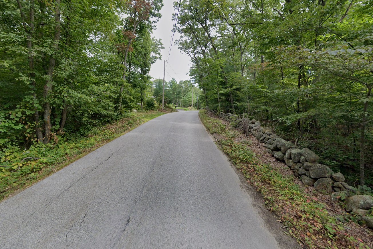
Typical forests and rock wall
401 Area Code
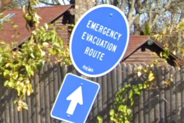
"RIEMA" on the bottom of Evac signs
Power poles generally have a large silver letter/number combination with or without an orange strip.
Scenic routes aren't very common, but have state-specific signage.
Bridges are also fairly rare, but the crossing street is listed in black & white on the overpass.
Silver number and orange strip
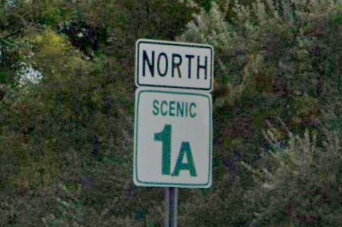
Scenic routes
Clearance and street name on bridge
Providence uses unique street signs that are color-coded by neighborhood.
Several other areas can be identified by non-standard sign colors and posts.
Brown street sign near Glocester
Blue signs in Newport & Middletown
Red street sign in the northeast
Providence street signs are color coded and include the specific neighborhood.
The neighborhood names can be seen at
medium zoom.
Colored neighborhood sign
statewide | RIPTA
statewide | RIPTA
Bristol
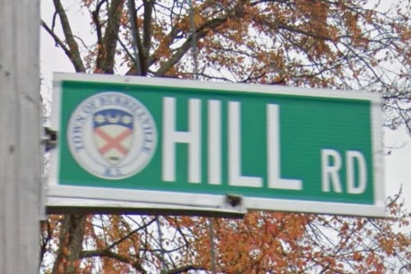
Burrillville
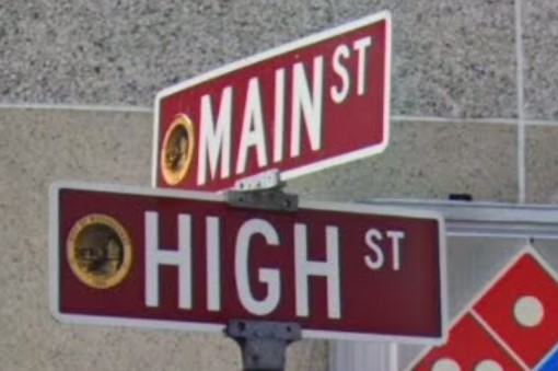
Woonsocket
South Dakota has a fairly identifiable license plate and a state-wide area code, 605.
In more recent coverage, signs posted by the state have a sticker on the back with a green state shape, similar to the design of the state highway symbol, and a white number.

Standard license plate
605 Area Code
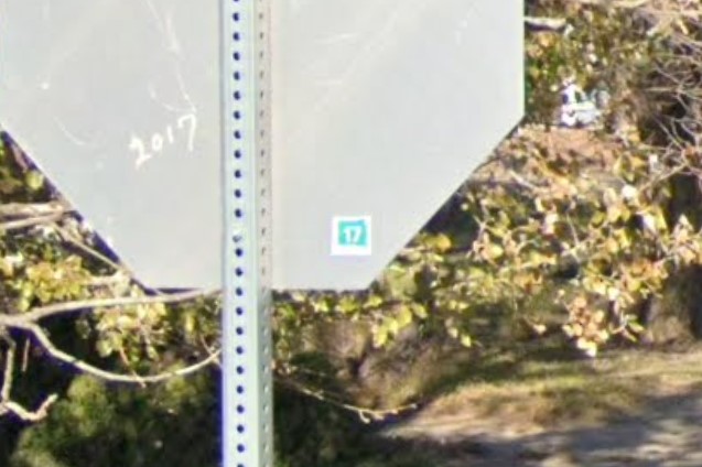
White sticker with green state shape
Except for the Native American reservations in the southwest, street signs at rural crossroads have a white border and a noticeable gap between border and text.
Numbered cross streets will be labeled by a number (without the "TH" suffix) and either "st" or "ave".
State and US highways will usually be marked with their symbols, but the associated green street signs use either a "US" or "SD" prefix.
In North Dakota, US highways use the prefix "Hwy" or "US Hwy".
White border and gap around text
Typical numbered crossroad street sign
"SD" and "US" prefixes
US highways use white diamond bollards at regular intervals and many important signposts and edge markers have thick white rings.
Mile markers on state and US highways are smaller than standard, and bridges usually have one at either or both ends.
Drainage on state and US highways are marked by yellow bollards.
The Lewis and Clark trail runs through many states, but the Native American Scenic Byway is largely in South Dakota, though a small part of it runs up into North Dakota.
White diamond bollard
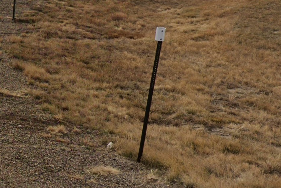
Intersection marked with thick white rings
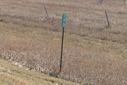
SD standard mile marker
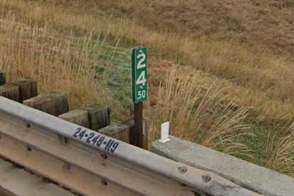
Mile marker on bridge

Drainage marked with yellow bollard
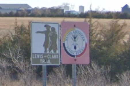
Native American Scenic Byway
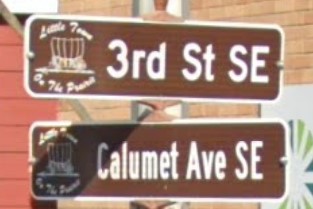
De Smet
Florida also marks drainage with a yellow bollard.

South Dakota

Florida
North Dakota also uses rings to mark major intersections, but its rings usually appear in pairs and are thinner than the ones used in South Dakota.

South Dakota

North Dakota
Iowa and Michigan also have some letter-number combinations in county road designations, but the order is reversed.

South Dakota

Iowa

Michigan
White square county road signs can also be found in
Minnesota and occasionally in
Ohio and in older coverage of
Michigan, especially in the north and upper peninsula.
It is also used in
Apache County, Arizona, but the landscape of the American southwest is very different from the heavily wooded upper midwest.

South Dakota

Minnesota

Ohio

Michigan
All vehicles registered in Texas are required to have a front plate and a blue or grey windshield sticker.
Unless the city regulations override it, important signs will have large white stickers on the back and red or yellow stripes.
Signposts in cities and surounding suburbs- especially near interstate highways- are usually round metal tubes arranged in either a "T" shape or a "U" shape, though neither are unique to the state.
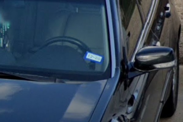
Blue windshield sticker

Large white stickers

Red signpost stripe
"T"-shaped signpost
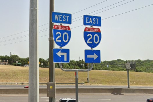
"U"-shaped sign post
In urban and metro suburbs, signs are posted on larger arteries before intersections with the name of the crossing road.
Dallas/Fort Worth and Houston are both conglomerations of smaller towns joined by connector roads.
Connector roads are generally two lane concrete or asphalt roads separated by an elevated grassy median.
Lower elevations and river crossings may have a flood depth ruler, which is unique to the state.
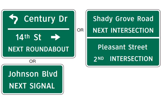
"Next Signal" sign
Connector road with elevated grassy median
Concrete patches
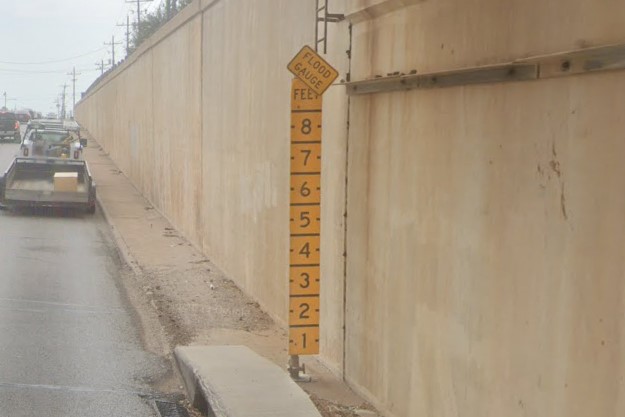
Flood level ruler
Interstates in Texas are easier to identify in and around the big cities, especially the enormous interchanges in Austin, Houston, and Dallas/Fort Worth.
They are very wide, very tall, and often have a service road running along either side.
Texas has dedicated u-turn lanes on offramps, and it uses a green circle with "HM" or "HC" for routes approved for vehicles with hazardous cargo.
The entire state uses TxTag for tollroads, but Houston and Dallas both have city-specific tolls as well.
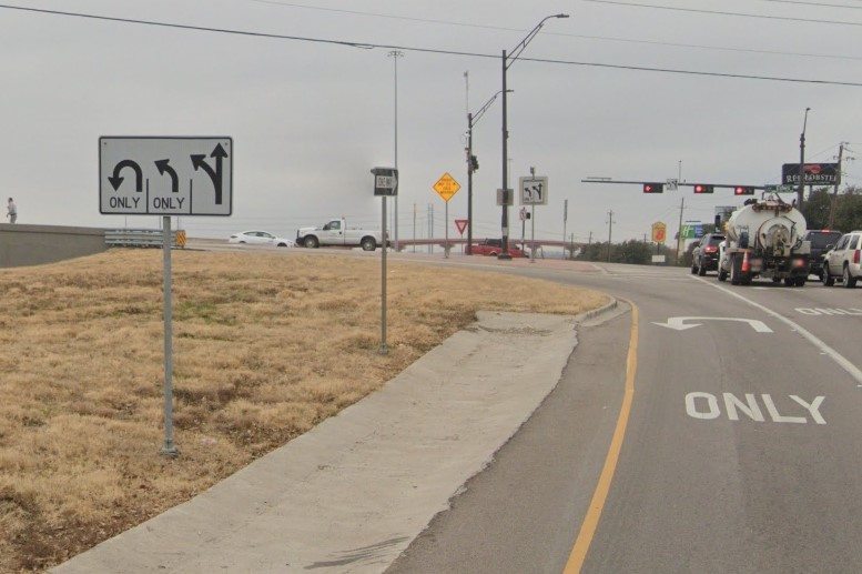
U-Turn only lane
Hazardous material/cargo sign
Dallas North Tollway
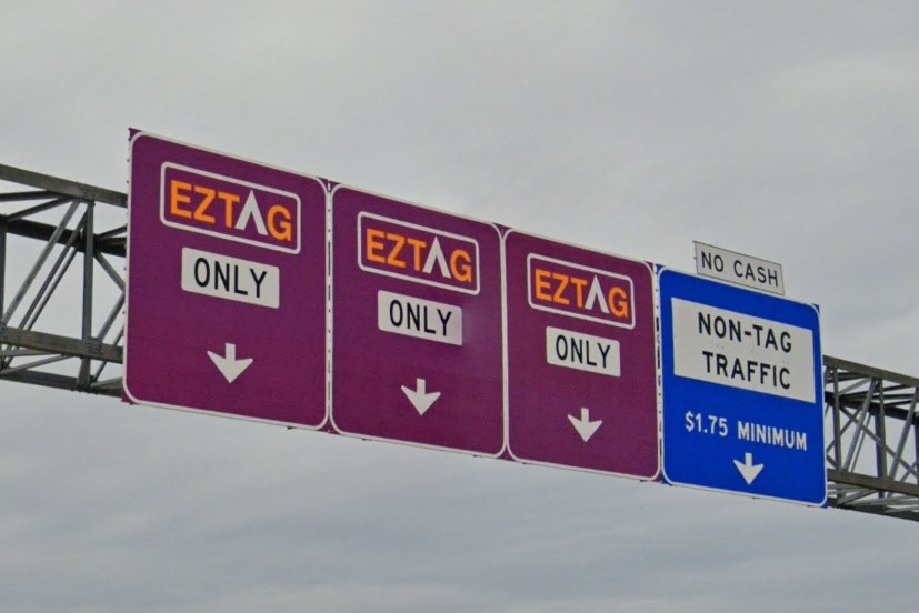
Houston purple and yellow, HCTRA
Texas is a big place
If you're in a metro area or a city suburb, you can use a combination of street sign layout and hydrants to narrow down which city you are (and are not) in.
In general, the greener it looks, the farther east you are, and the more palm trees you see, the farther south you are.
Austin and Dallas/Fort Worth both use numbers on the street signs and have silver hydrants.
You don't have to memorize area codes, but if you're in an area that has both Austin and Dallas/Fort Worth vibes, area codes that start with odd numbers are in Austin (512 / 737).
Area codes that start with an even number (or the rare nine) are all DFW (214/469/682/817/945/972).
This doesn't apply to all Texas area codes, but it can help to identify either Austin or DFW from the other.
Numbers on street signs
Silver hydrants, Austin
Odd number area code, "Odd Austin"
Dallas/Fort Worth and Austin both use silver hydrants and use numbers on their street signs.
DFW uses even number area codes (and the rare 9), while Austin uses odd numbers (See Austin above).
An image or symbol on the left side of a street sign is common in Fort Worth, but rare in Austin.
The Dallas side uses bright yellow buses, bus stops, and bus signs, all labeled "DART".
The Fort Worth side uses grey buses and red/blue signs marked "Trinity Metro".
Stickers with a visible black number are also on the Fort Worth side.
An orange circle "T" sticker is used in Dallas for some of the tollroads.
Silver hydrants, Dallas/Fort Worth
Numbers on street signs
Numbers & image on street sign
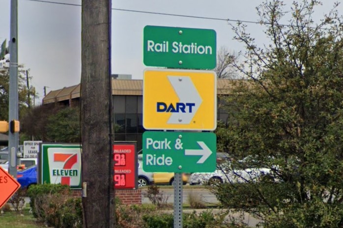
Dallas Area Regional Transit (DART)
Trinity Metro, Fort Worth
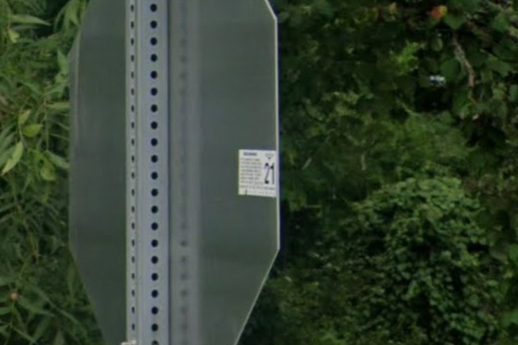
Numbered sticker, Fort Worth
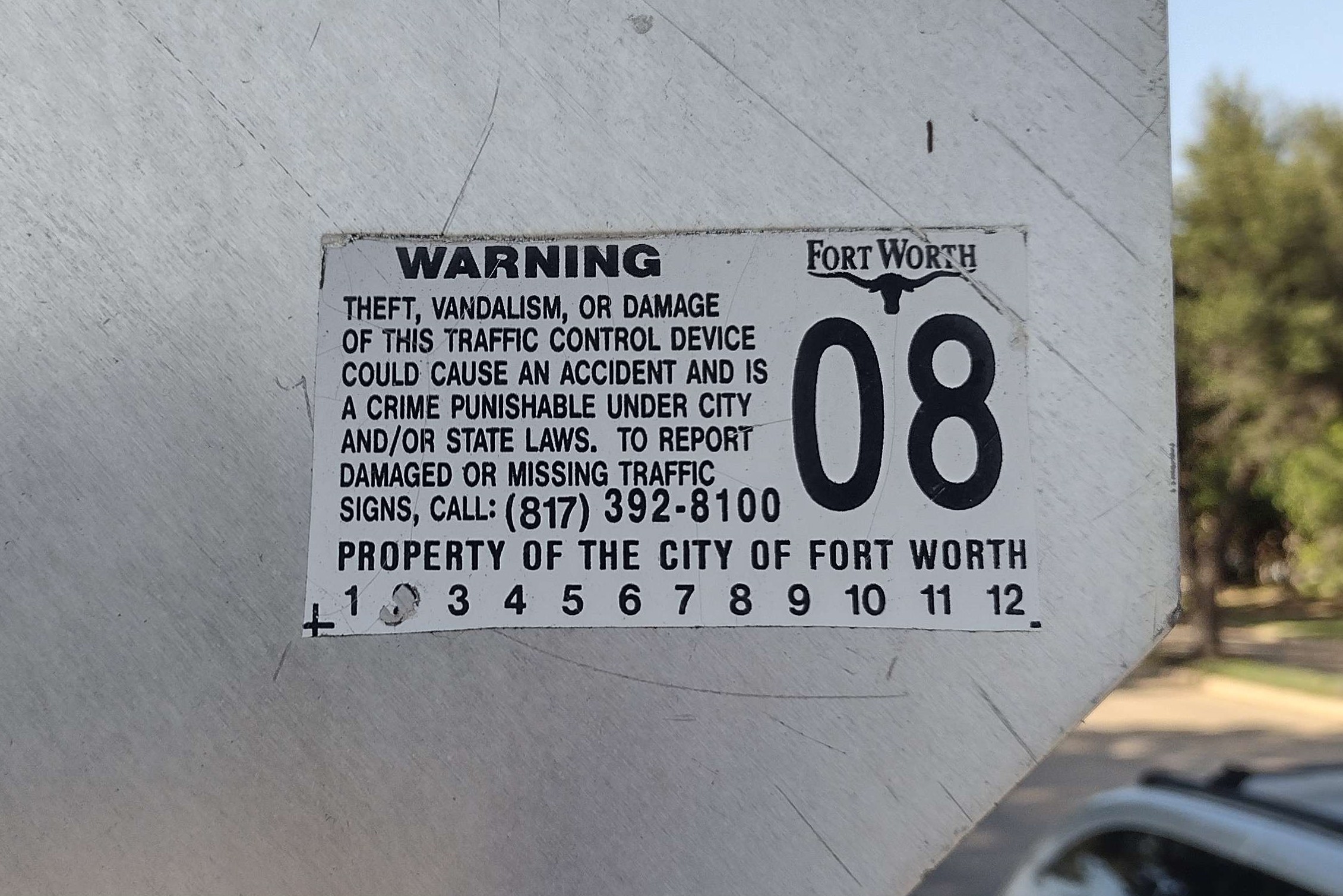
Fort Worth sticker close-up

Dallas North Tollway
El Paso doesn't come up very often, but I'm including it in this guide because it is easily mistaken for New Mexico.
It sits on the border of both New Mexico and Mexico, and looks a lot like both.
The region has a 915 area code, but El Paso also has unique blue and silver hydrants, usually labeled with a number.
Gravel yards
Silver/blue numbered hydrants, El Paso
915 area code
Mountain range to the NW
The best clue for Houston is their unique blue and green hydrants, usually labeled with a number.
Blue numbered hydrants, Houston

HCTRA purple and yellow
San Antonio has several different street sign layouts, but they are all blue.
It has silver hydrants like Dallas/Fort Worth and Austin, if the street signs are blue, start thinking San Antonio.
Blue street sign
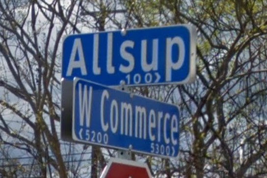
Blue signs with arrows
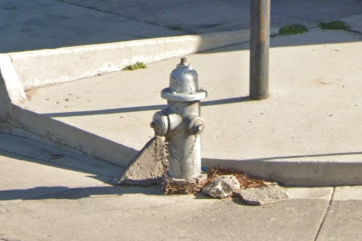
Silver hydrants
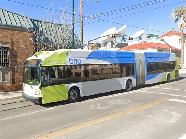
Abilene | brio
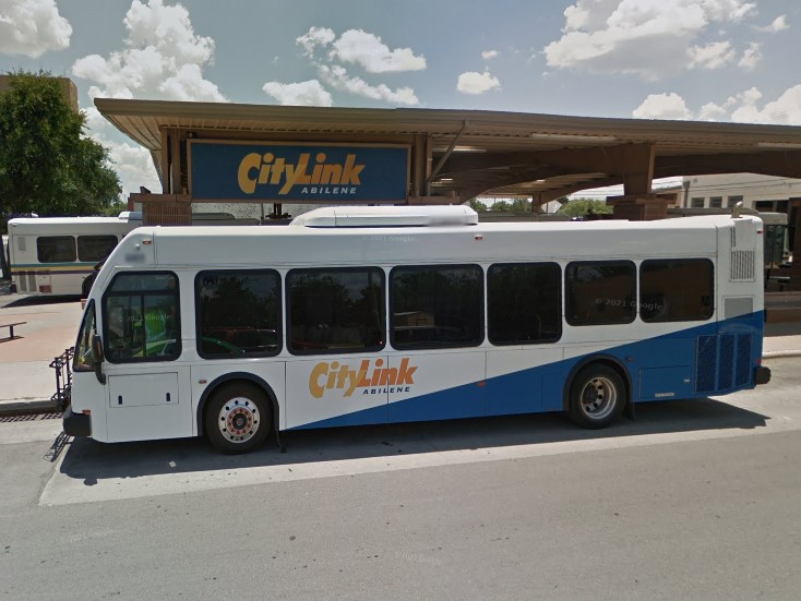
Abilene | City Link
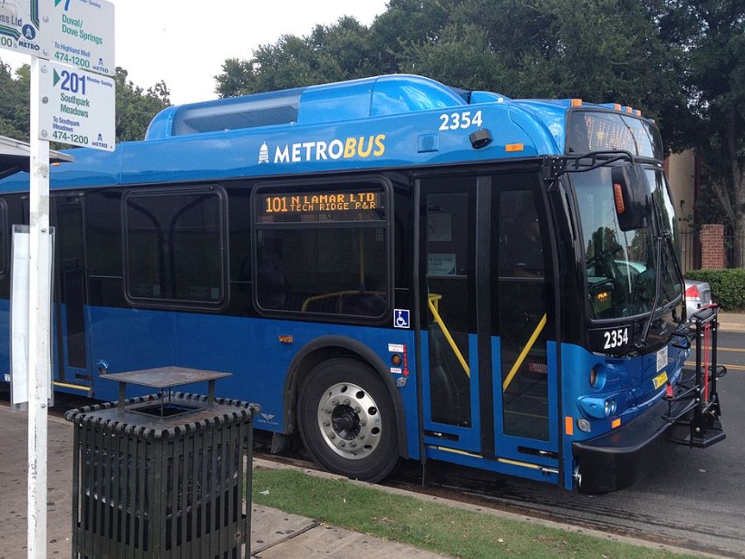
Austin | CapMetro

Austin | Carts
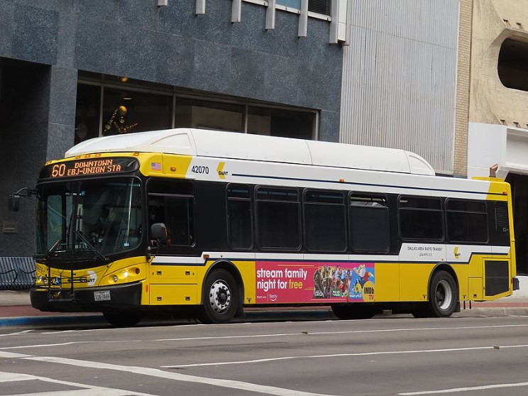
Dallas | DART
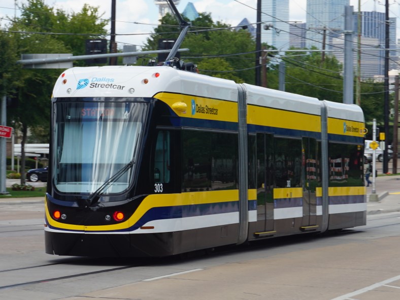
Dallas Streetcar | DART
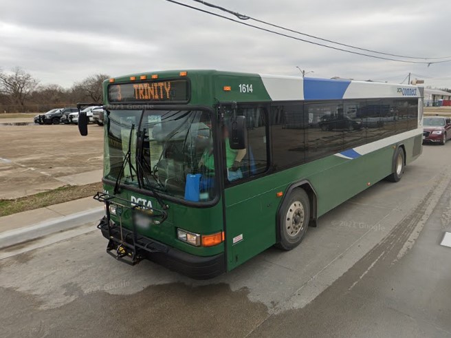
Denton | DCTA Connect
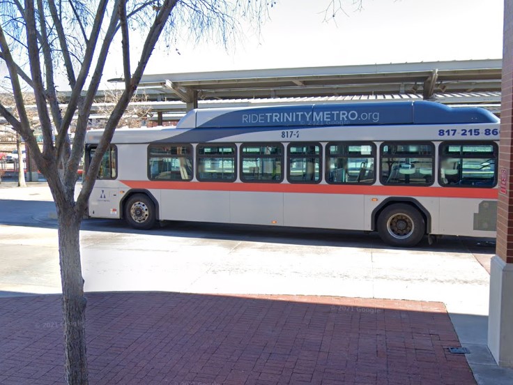
Fort Worth | Trinity Metro
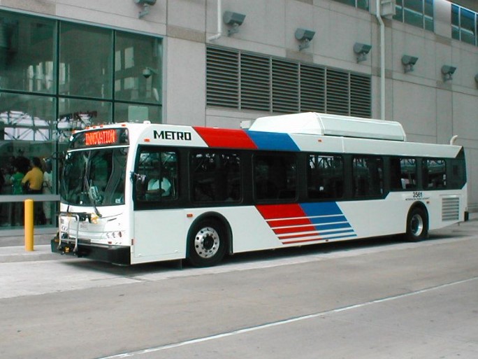
Houston | Metro
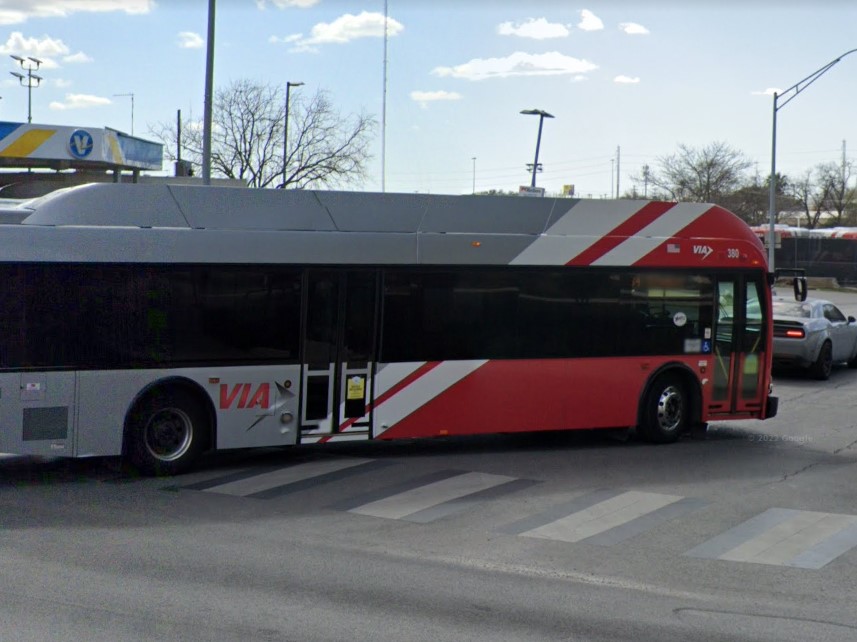
San Antonio | VIA
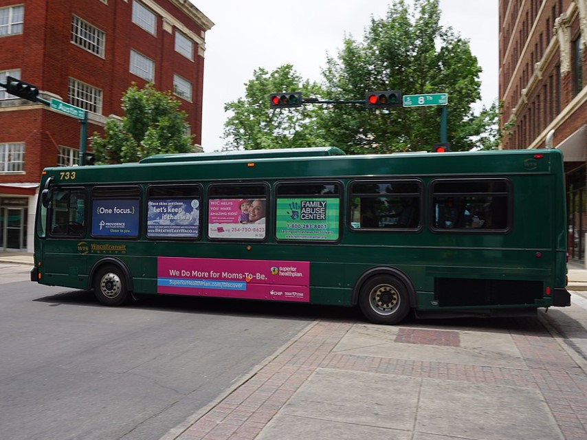
Waco | WTS
Abilene | City Link
Abilene | brio
Austin | CapMetro
Dallas | DART
Denton | DCTA Connect
Fort Worth | Trinity Metro
Houston | Metro
San Antonio | VIA
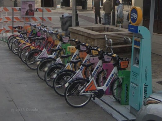
Austin

Austin | Carts
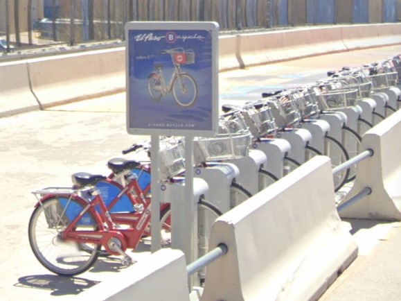
El Paso
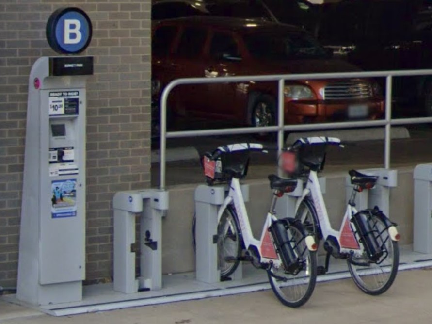
Fort Worth
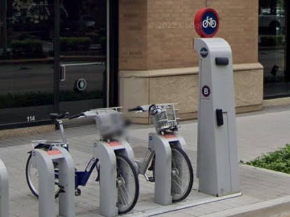
Houston
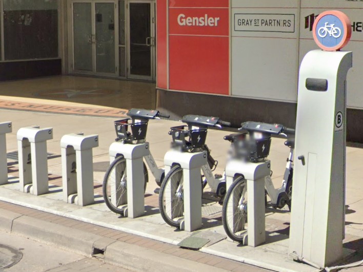
San Antonio
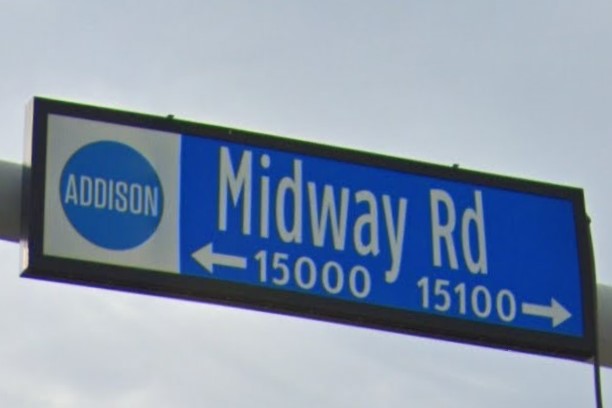
Addison
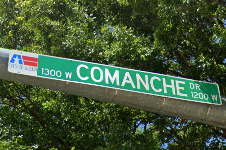
Allen
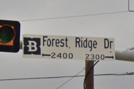
Bedford
Carrollton
Colleyville
Coppell
Double Oak
Euless
Euless
Fort Worth
Fort Worth
Grand Prairie
Grapevine
Haltom City
Hurst
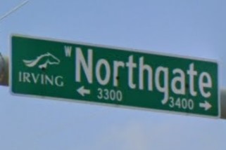
Irving
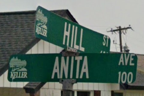
Keller
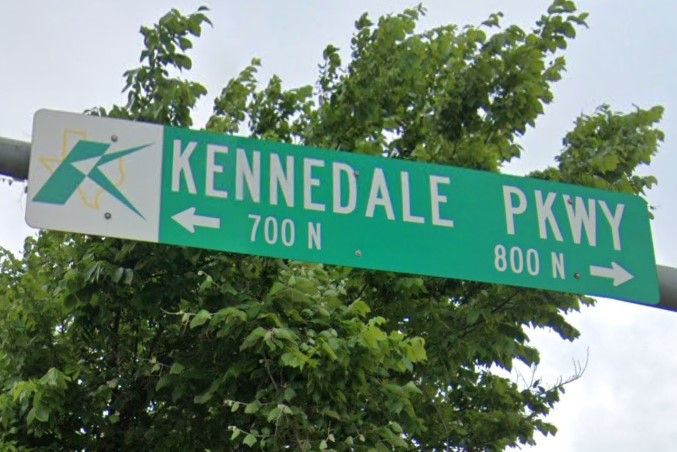
Kennedale
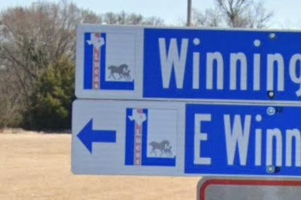
Lucas
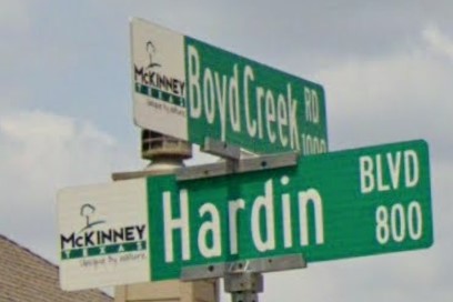
McKinney
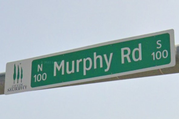
Murphy
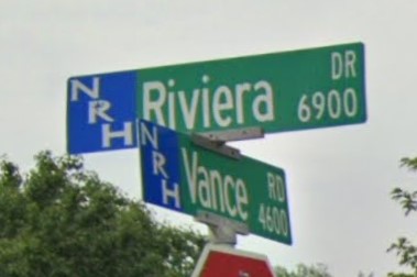
North Richland Hills
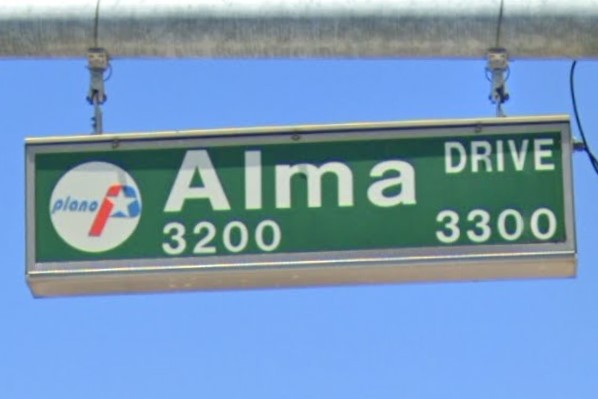
Plano
Richardson
Richland Hills

Southlake
The Colony
Watauga
Express Tollroad signs in Texas have the same color pattern as the Minnesota state highway sign.

Texas Express Toll

Minnesota state highway
Rounded 2-prong sign posts can also be found in Utah.

Texas
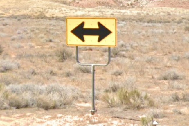
Utah
New Mexico also has large white sticker behind state-owned signs.

Texas

New Mexico
Colorado also uses yellow signposts.

Texas

Colorado
Green square county road signs can also be found in Michigan, but they are rare in both states.
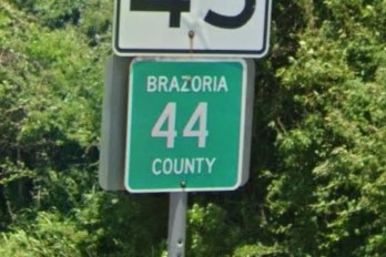
Texas
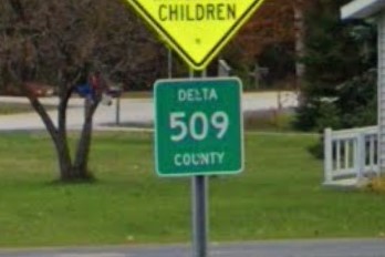
Michigan
Utah is basically a desert with a mountain range running north to south straight down the middle.
License plates are required both front and back.
The standard plate is a distinctive orange and blue, but the non-standard Olympic skiing plate is also fairly common.
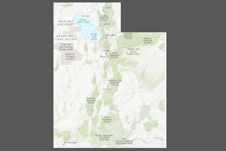
Topographical map
Orange & blue license plate
Olympic skiing plate
Most highway signs have two or three braces on the back, similar to other mountain/desert states.
Utah occasionally uses the rounded 2-prong signpost that is common in Texas.
If marked, utility poles have the broad yellow Pacificorp plate.
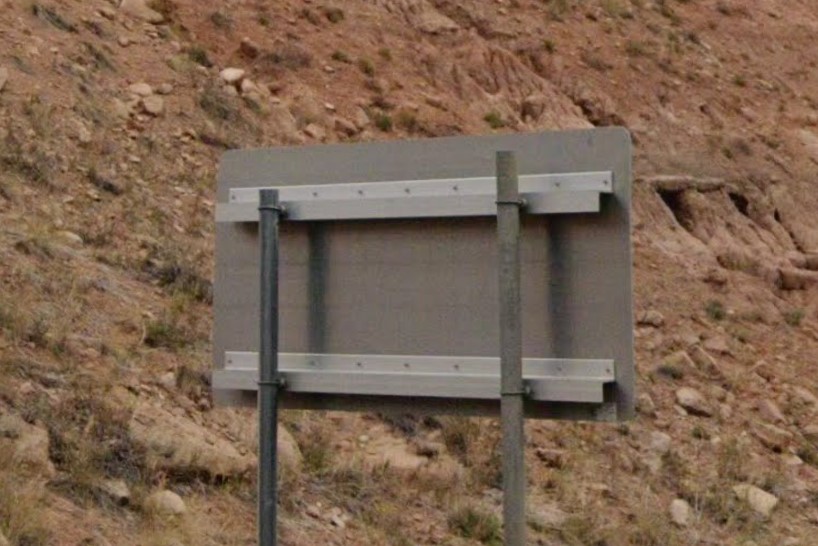
Braces behind highway sign

Rounded 2-prong signpost

Pacificorp plate
Utah's geography looks similar to that of nearby states, but it has a unique set of bollards.
On US highways, guardrail ends are marked by three yellow strips on a black pole, although the yellow can be sun-bleached white.
State highways usually use plastic bollards, and is one of the few that has orange bollards
These highways will also sometime have a white square mounted on either a black or orange plate.
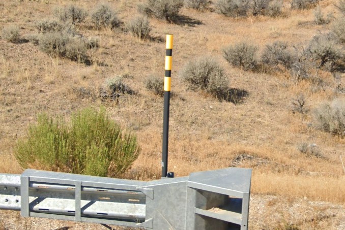
3 yellow bollard on rail ends
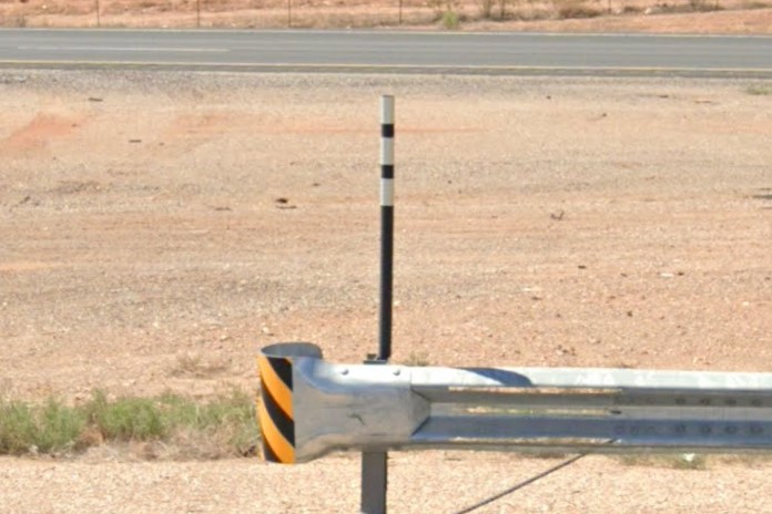
3 yellow bollard sun-bleached
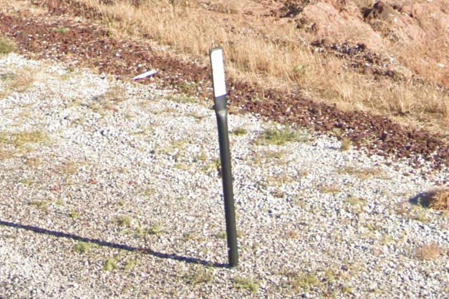
Plastic bollard
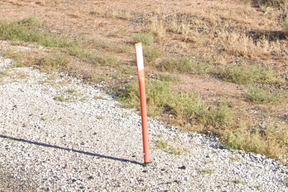
Orange bollard
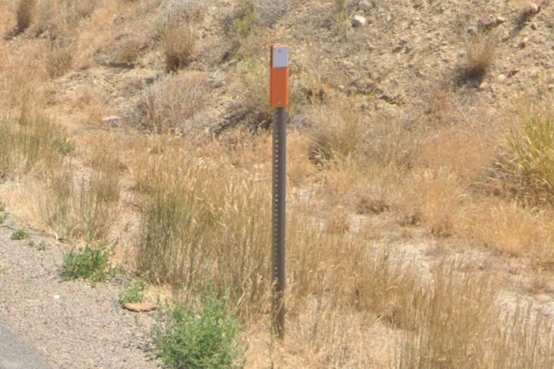
Orange back-plate
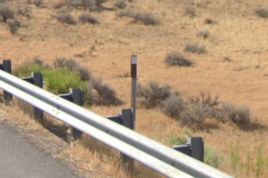
Black back-plate
The Salt Lake City metro area runs the length of the lake on the west side of the mountain range.
The mountains are relatively taller and sharper on the north side and rounder to the south near Provo and Ogden.
The city's area codes are 801 and 385, but they are found state-wide.

801 area code
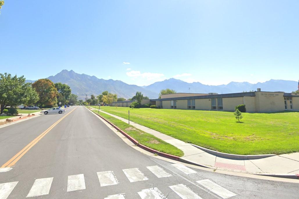
Larger pointier mtns near Salt Lake City
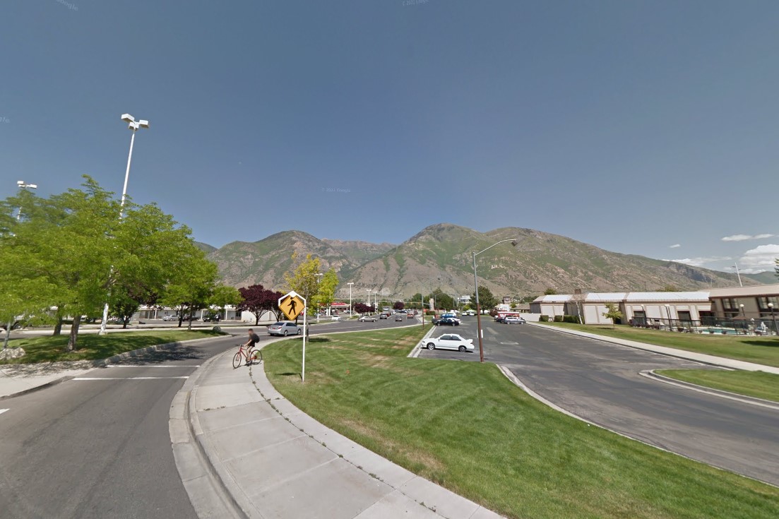
Smaller rounded mtns near Provo / Ogden
Several sub-cities have unique symbols on street signs, and the whole city has a unique numbering system for streets, using just a number and a direction
The public transit acronmys all start with "UTA".
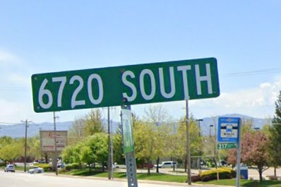
Salt Lake City road numbering
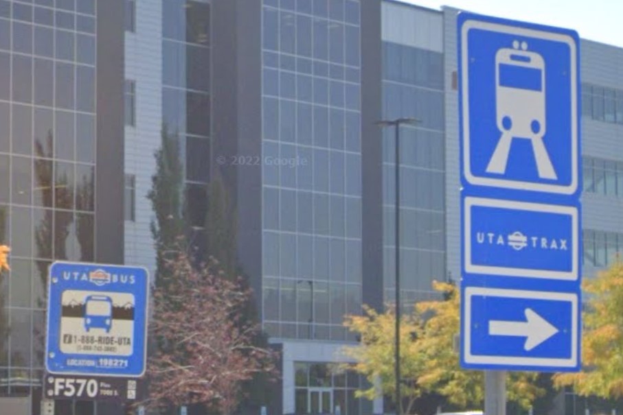
UTA BUS and UTA TRAX
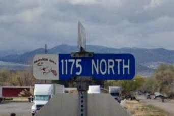
Beaver
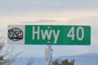
Duchesne
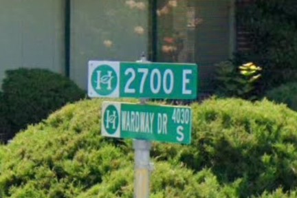
Holladay
Midvale
Naples
Ogden
West Jordan
Nevada and North Dakota also uses orange bollards, but North Dakota only uses them on rail ends.
Rounded 2-prong sign posts can also be found in Texas.

Utah

Texas
Rocky Mountain Power division of Pacificorp also serves Wyoming and Idaho.

Pacificorp Plate
Vermont has a distinct solid green license plate required both front and back, and uses the state-wide area code 802.
There is a state required windshield sticker, but the license plate is much easier to see.
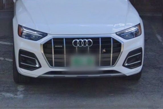
Green license plate
802 Area Code
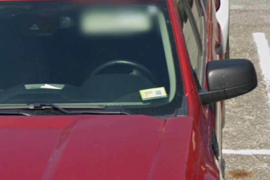
Yellow windshield sticker
Vermont puts large white stickers behind official signs and green markers on bridges that includes the road name.
green markers on signposts with three rows of numbers, though New York uses a similar marker.
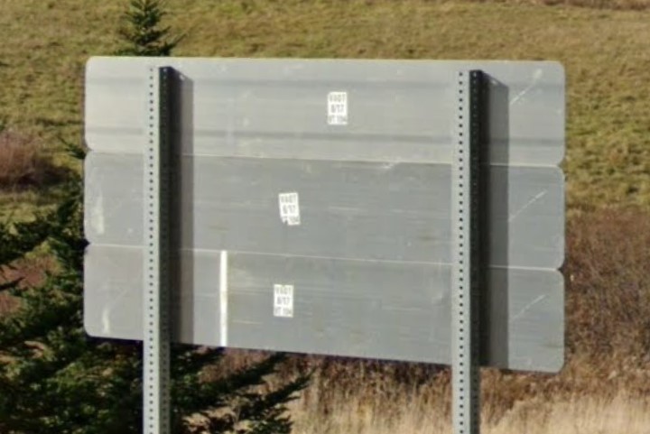
Large white stickers behind signs
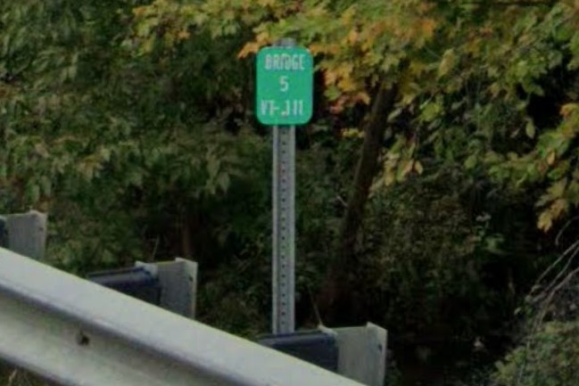
Bridge marker

Green sign markers
Vermont's state route sign is stylized green, but a few signs show the symbol in black.
State routes maintained by local towns will have a letter appended to the number, and roads built to connect towns have names starting with "TR".
Both are specific to the state.
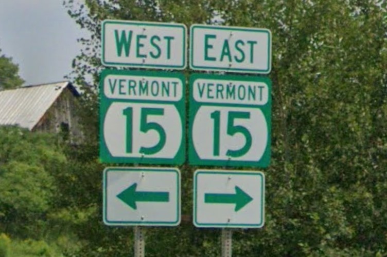
State highway sign
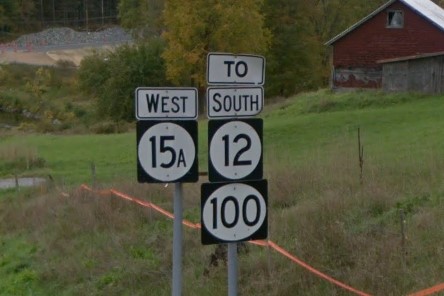
Black state highway sign
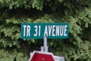
Township Route
Vermont highways use diamond bollards, and guardrails are marked with a blue diamond at the start and green diamond at the end
Intermediate mile markers show the mile on top and the decimal beneath, and are unique to Vermont.
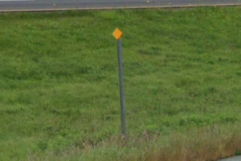
Yellow diamond bollard
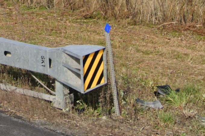
Blue diamond bollard at guardrail start
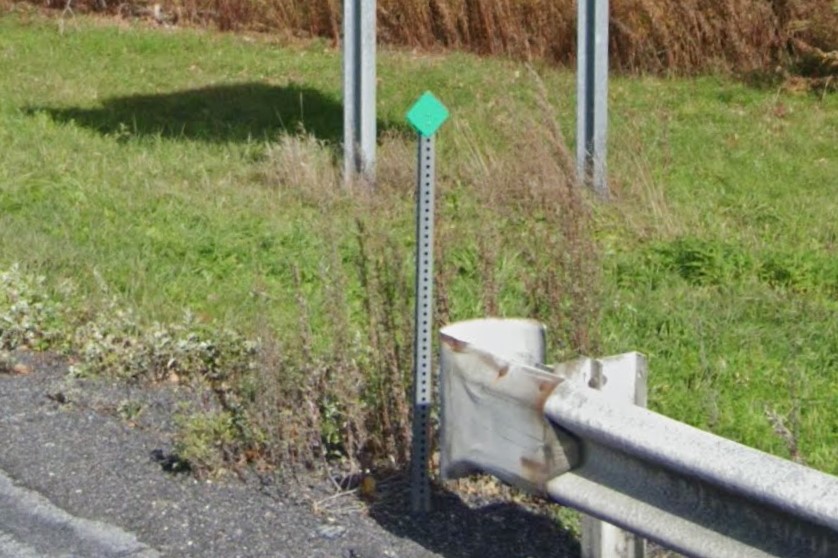
Green diamond bollard at guardrail end
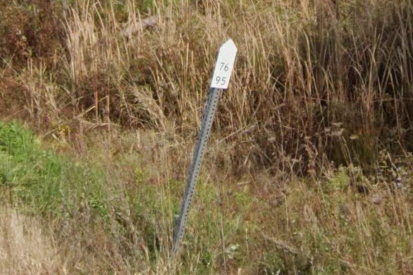
Intermediate mile marker
Interstate highways have relatively large mile markers compared to nearby states.
Many speed limit signs include a "MINIMUM 40" sign beneath, but as of 2024, this sign is being phased out.
Crossovers are marked by double yellow diamond bollards.
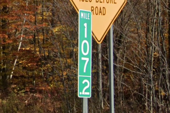
Interstate mile marker
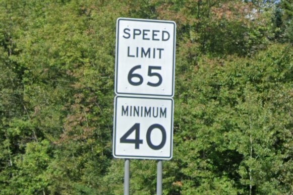
"Minimum 40" sign
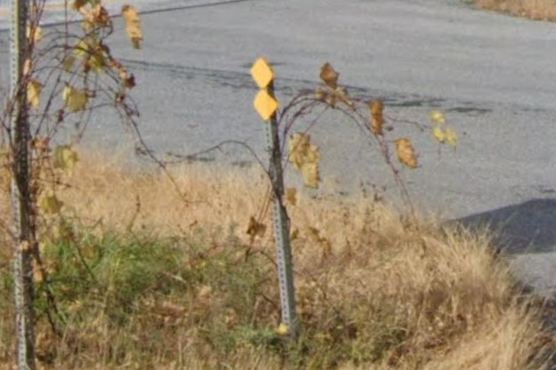
Yellow diamond bollards at crossover
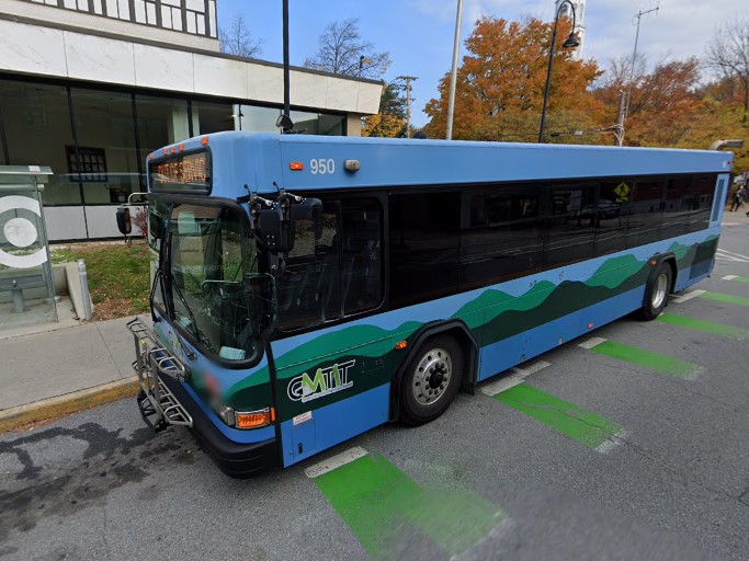
Burlington | GMT
Burlington | GMT
Vermont and New York both use green square plates with white numbers.

Vermont

New York
Connecticut also puts green diamond bollards at the end of rails.

Vermont

Connecticut
Wisconsin can range anywhere from cornfields to conifer forests.
The standard license plate is white, but a lot of state-owned signs have a triangle sticker on the back.
Cornfield and broadleaf forest
Cornfield and conifer mix
WisDOT triangle sticker
Wisconsin has some unique types of address signs and bridge marker.
Bridges with concrete barriers have a small plaque, but they can be hard to spot, even if you're looking for them.
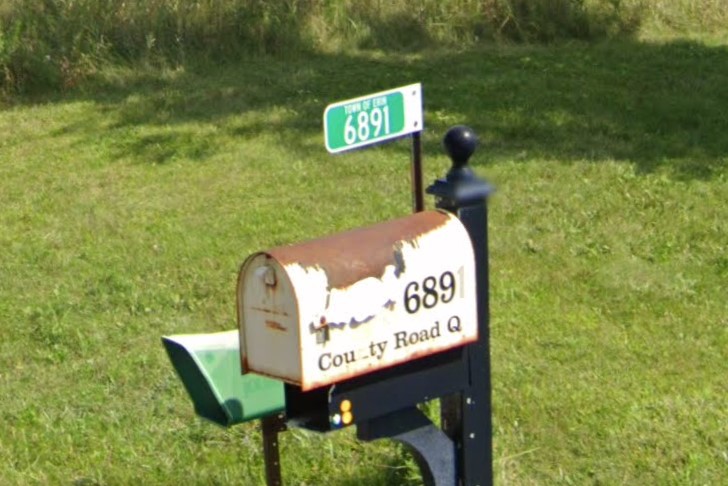
Green address marker
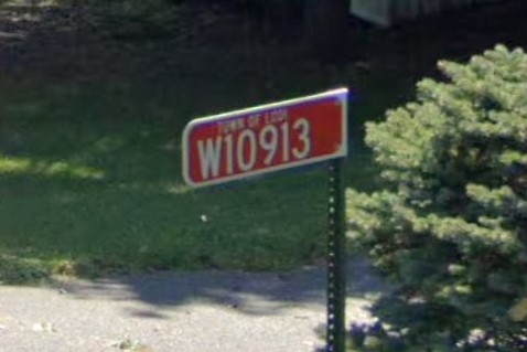
Red address marker
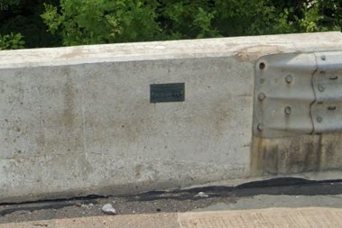
Bridge plaque
County roads are marked with one or two letters instead of numbers, but combinations can be repeated across different counties.
Most signs are mounted on thick wooden posts, and ATV and snowmobile routes are marked in green.
Stop signs might say "All Way" or "Cross traffic doesn't stop", but will never say "2-way", "3-way", or "4-way".

Lettered county road and ATV route
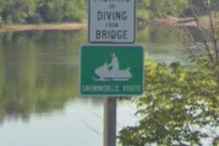
Snowmobile route
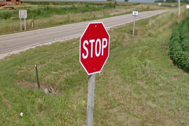
Unmarked stop sign
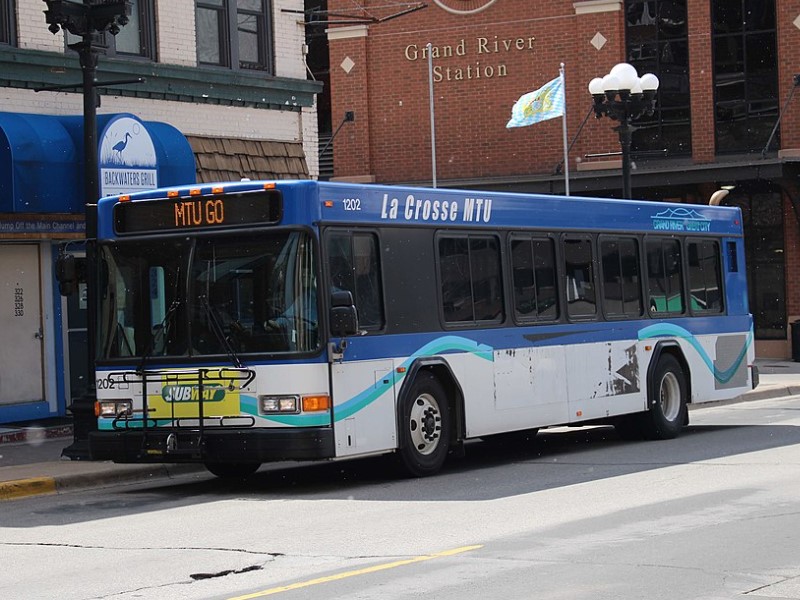
Lacrosse | MTU
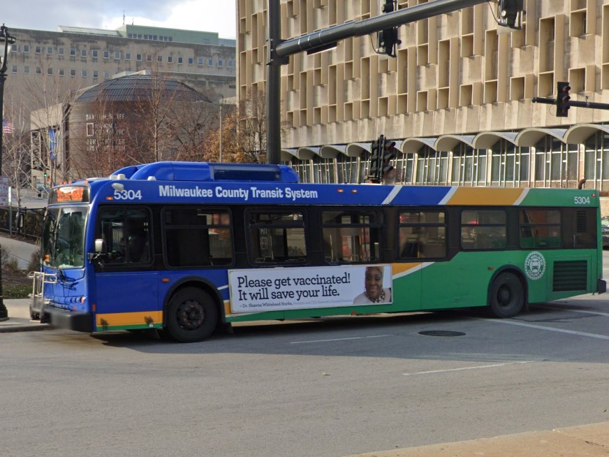
Milwaukee | MCTS
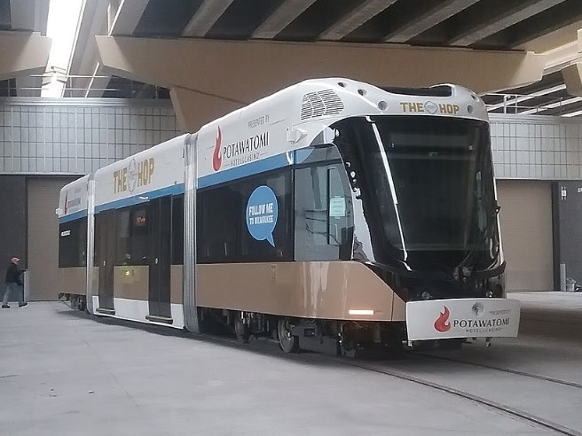
Milwaukee | The Hop
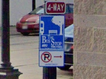
Lacrosse | MTU
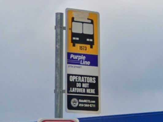
Milwaukee | MCTS
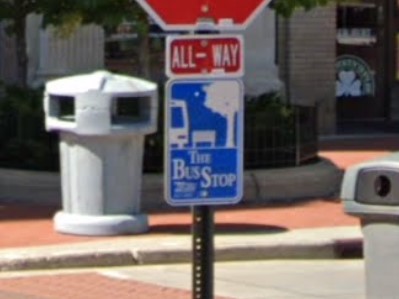
Wausau | Metro Ride
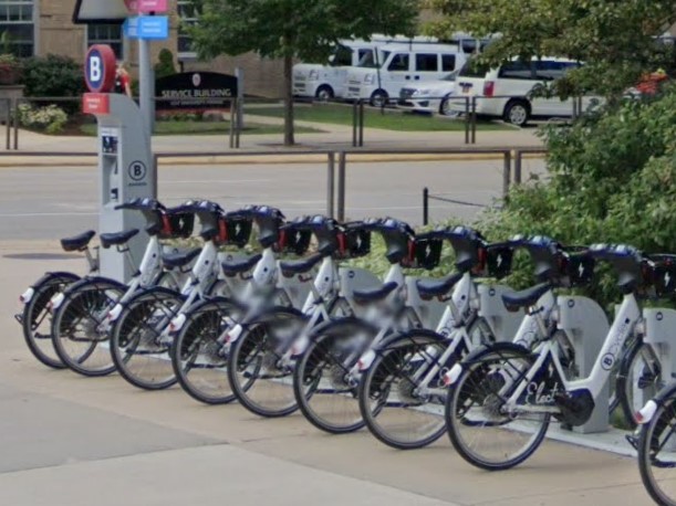
Madison
Milwaukee
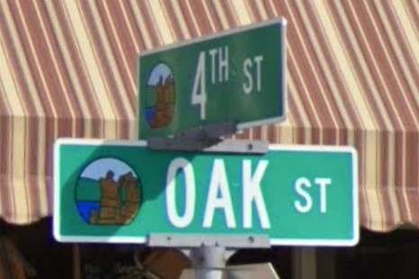
Baraboo
Cudahy
Missouri also marks its county roads with letters, but has a thick black edge on all four borders.
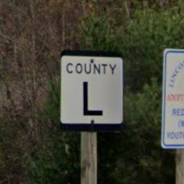
Wisconsin
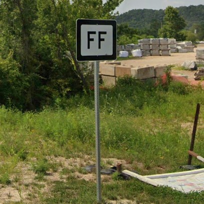
Missouri
New Hampshire also has ATV routes.

Wisconsin

New Hampshire
Thanks to Ben Keller for pointing out the green address signs and Apollobo for the info about them
More thanks to Apollobo for the Wisconsin fact checking
304 is the primary area code and the most common, but 681 makes some rare appearances, especially near
Charleston.
West Virginia uses both square and circle highway symbols, but the smaller circle on green signs is unique to the state.

304 state-wide area code
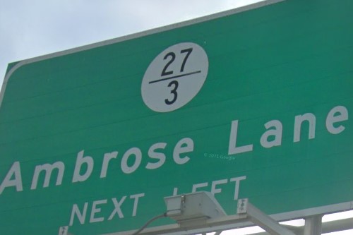
Fractional numbered road
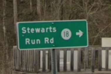
Small circle with number
Geographically, West Virginia is wholly within the Appalachian Mountain range.
Highways through valleys are common, and roads tend to weave left/right and up/down.
Long, straight stretches of road are rare outside of city and town grids.
Dashes in the double-yellow midline at intersections and buildings relatively close to the road aren't unique to the state, but are both very common.
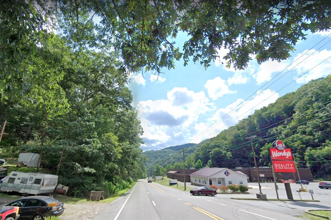
Highway through mountain valley
Dashed double yellow lines
Buildings close to the highway
Interstates mile markers and exits in West Virginia include a directional letter in addition to the highway designation.
In newer coverage, exits will have a secondary smaller sign on the exit itself.
US highways use a blue mile marker with an image of the state.
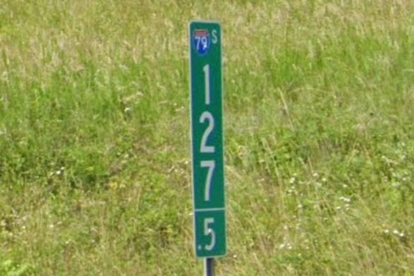
Mile marker with directional letter
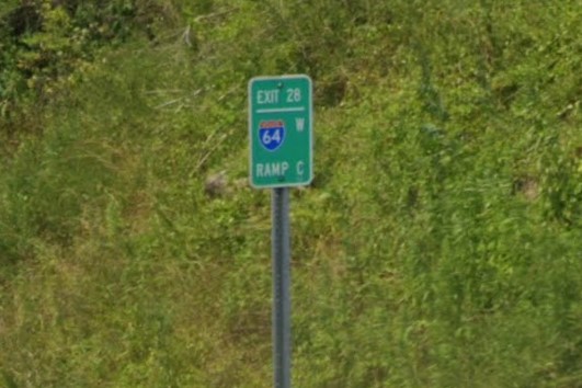
Secondary exit marker
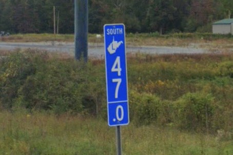
US highway mile marker
With the exception of the Bighorn National Forest west of Bighorn and Yellowstone in the northwest, Wyoming is a big dry, flat plains.
The mountainous areas can look similar to Montana or Idaho except for the bollard type.
Several highways have a red tint, which can help identify Wyoming from adjacent states.
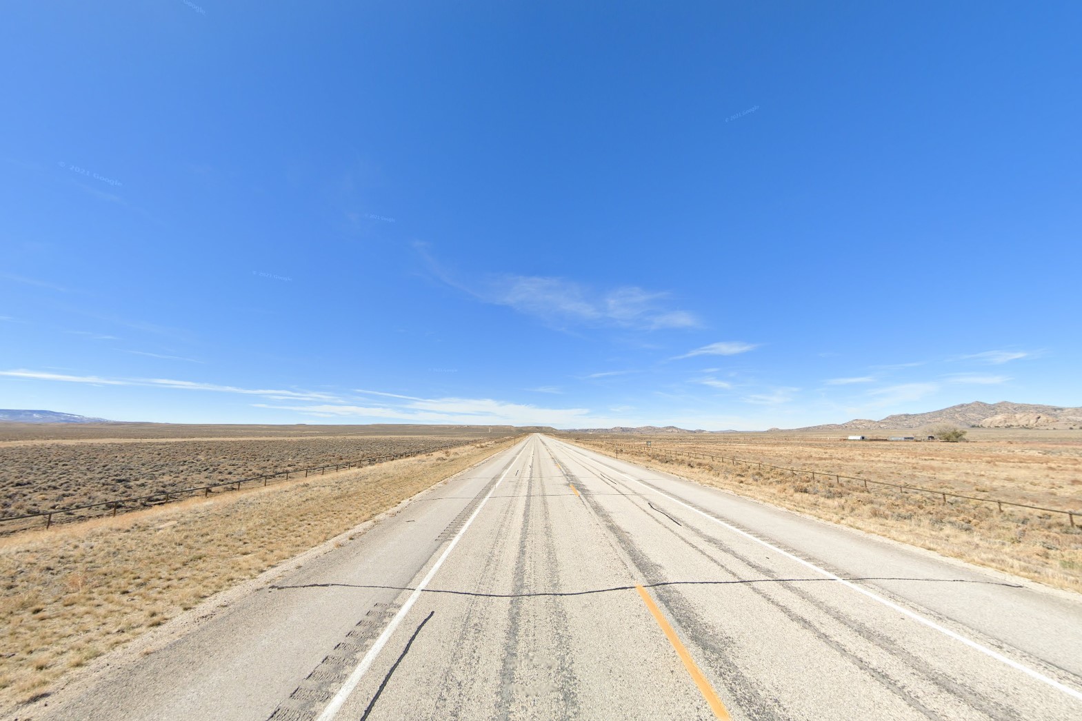
Wyoming plains
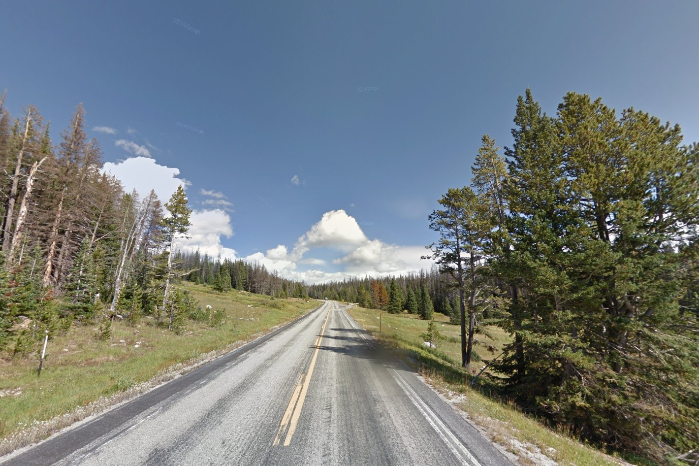
Medicine Bow-Routt National Forest
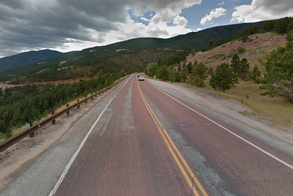
Red-tinted road
It uses the state-wide area code 307 and the state symbol is a rodeo cowboy, but you'll rarely see either outside of the various small towns.
Many roadside stops and isolated commercial buildings use a log cabin style architecture.
307 Area Code
Cowboy symbol
Log Cabin Architecture
US highways use circle bollards and signs are attached to posts with two or three square metal braces.
Each digit on US highway mile markers is on its own separate plate.
Five circle reflectors on the end of a guardrail or a green marker with a white "L" are both indicators of Wyoming.
Circle bollard
Square metal braces
Mile Marker digits on separate plates
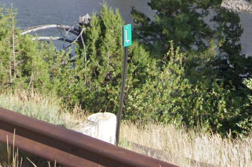
L Highway marker
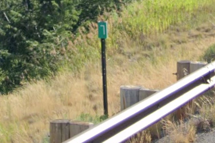
L Highway marker alternative
Interstate highways are generally concrete and marked by black plastic bollards.
Exits are marked by a tall green sign with the exit number, the word "EXIT", and an arrow aligned vertically, and guardrails have five reflectors on the front end.
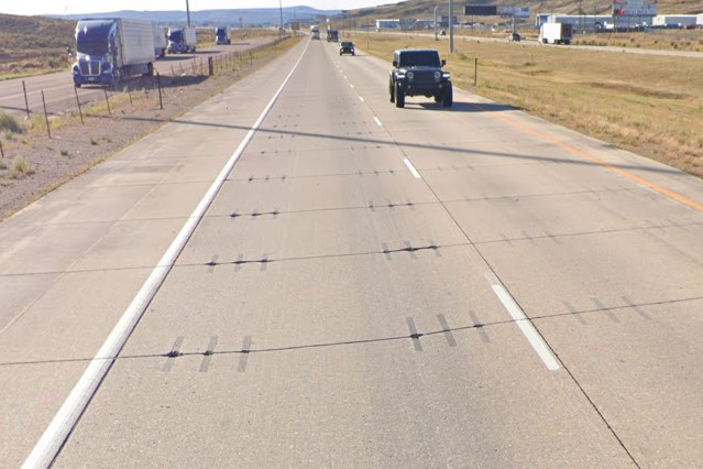
Concrete Interstate Highway
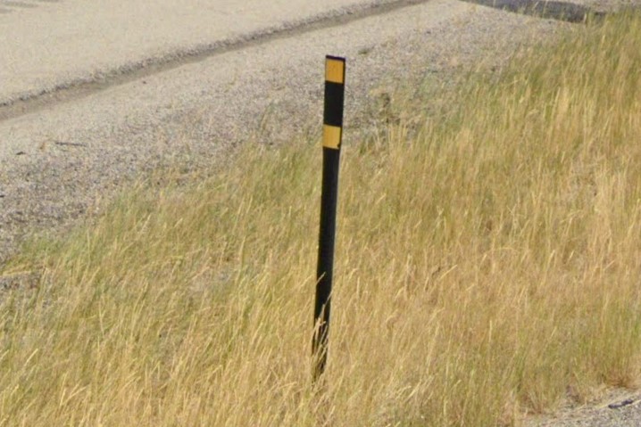
Black plastic bollard
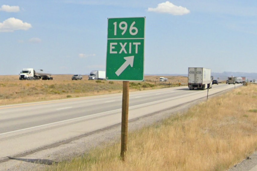
Interstate exit sign
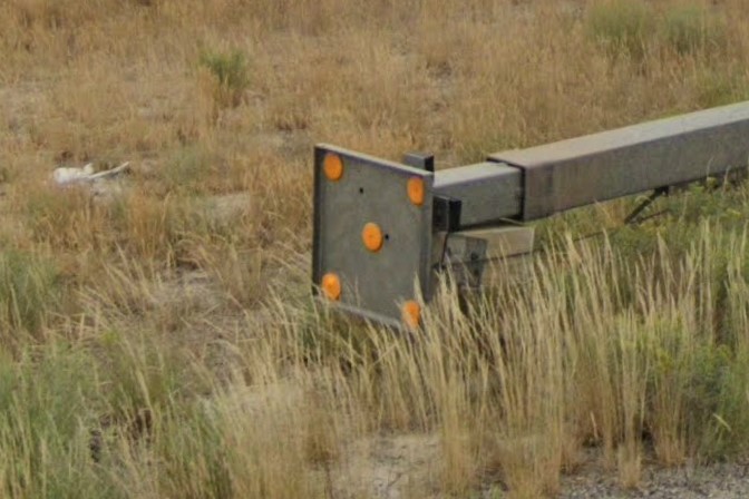
Five reflectors on guardrail
Jackson | START Bus
Jackson | START
Jackson
Rawlins
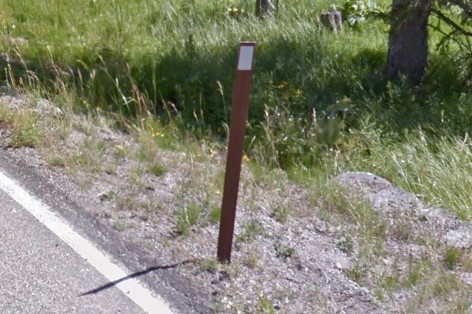
Yellowstone National Park
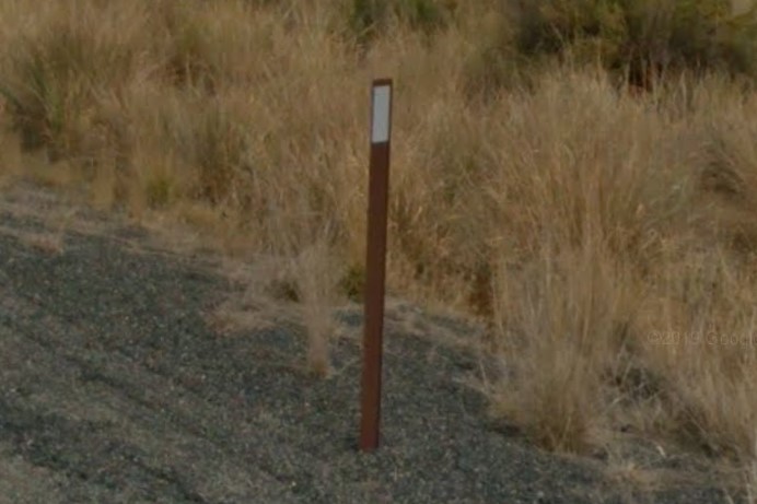
Washington
Rocky Mountain Power division of Pacificorp also serves Idaho and Utah.

Pacificorp Plate
